Tag: National Park

  • Shenandoah National Park, VA

    Shenandoah National Park, VA

    I arrived at Shenandoah National Park on Tuesday evening. On Wednesday, I was really exhausted. The bachelorette weekend was fun, but I needed time to recover. I wanted to do a longer hike the next day and I knew I wouldn’t be able to do it if I spent the last of my energy hiking on Wednesday. So I stayed at my Airbnb. I spent the morning getting ChatGPT to help me figure out the right combination of tax gains harvesting and Traditional 401(k) to Roth conversion to do. Since I won’t have any income this year, it’s the perfect time to do all this and owe minimal taxes. And yes, I find figuring all this out fun and restful. My Airbnb had a nice screened in porch, so I also spent a lot of time out there reading.

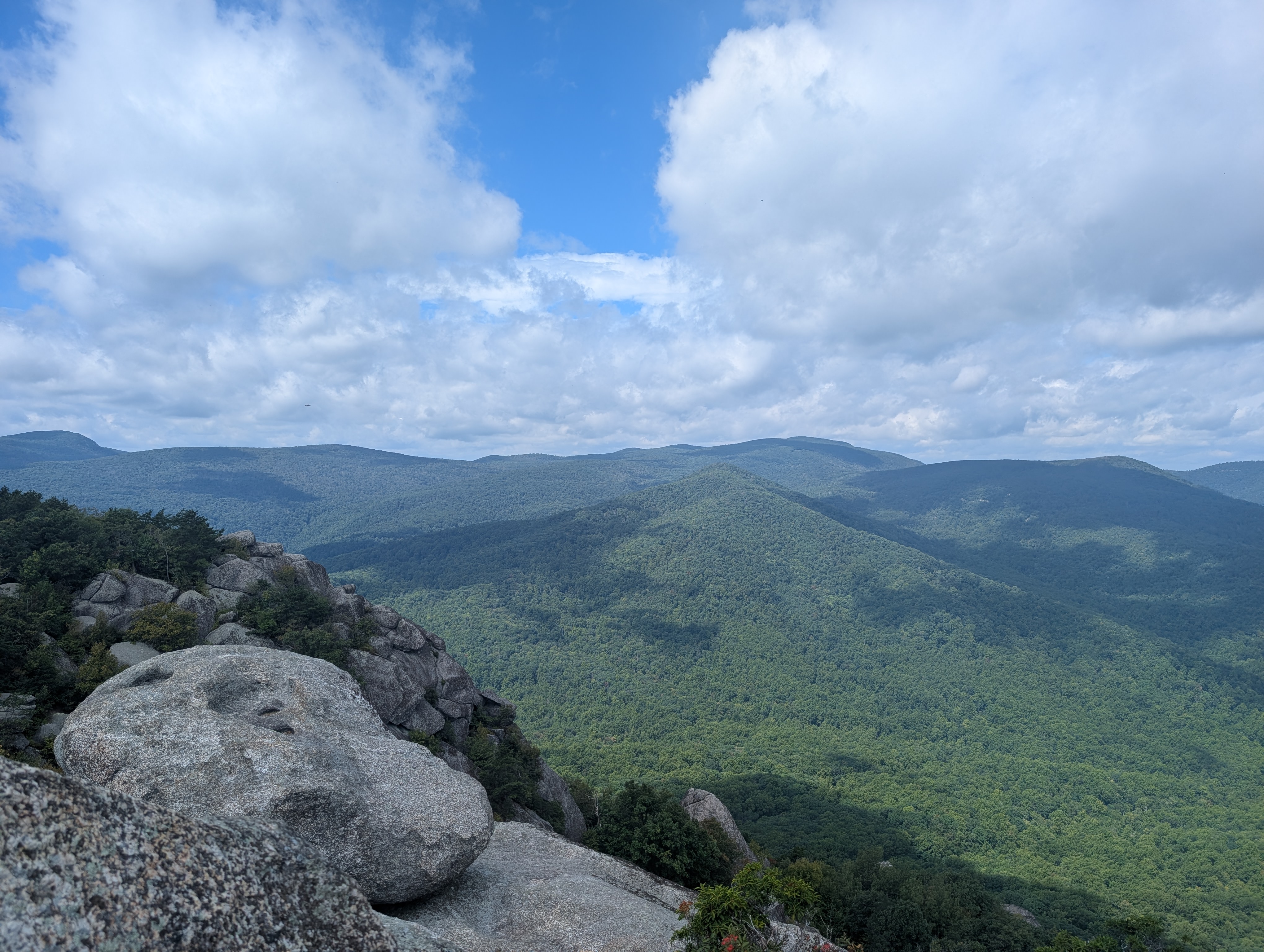
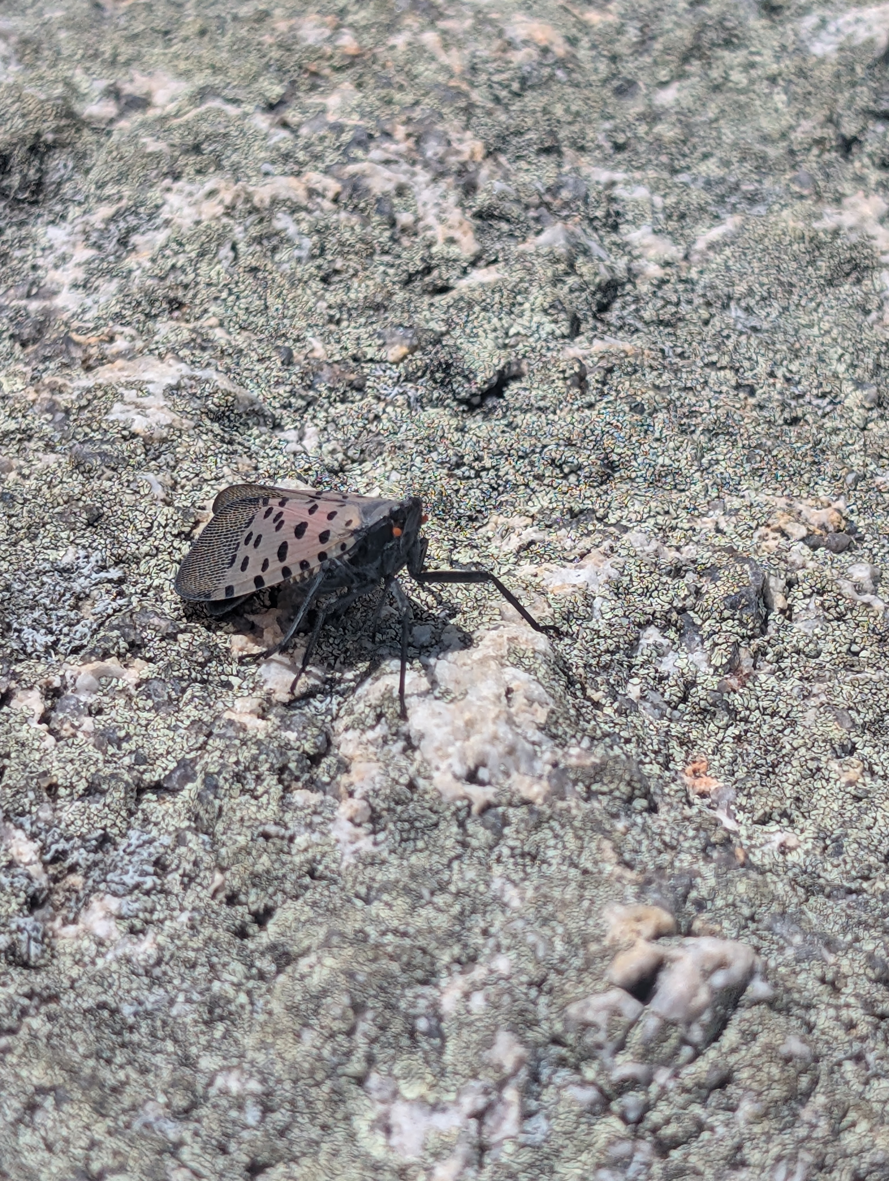
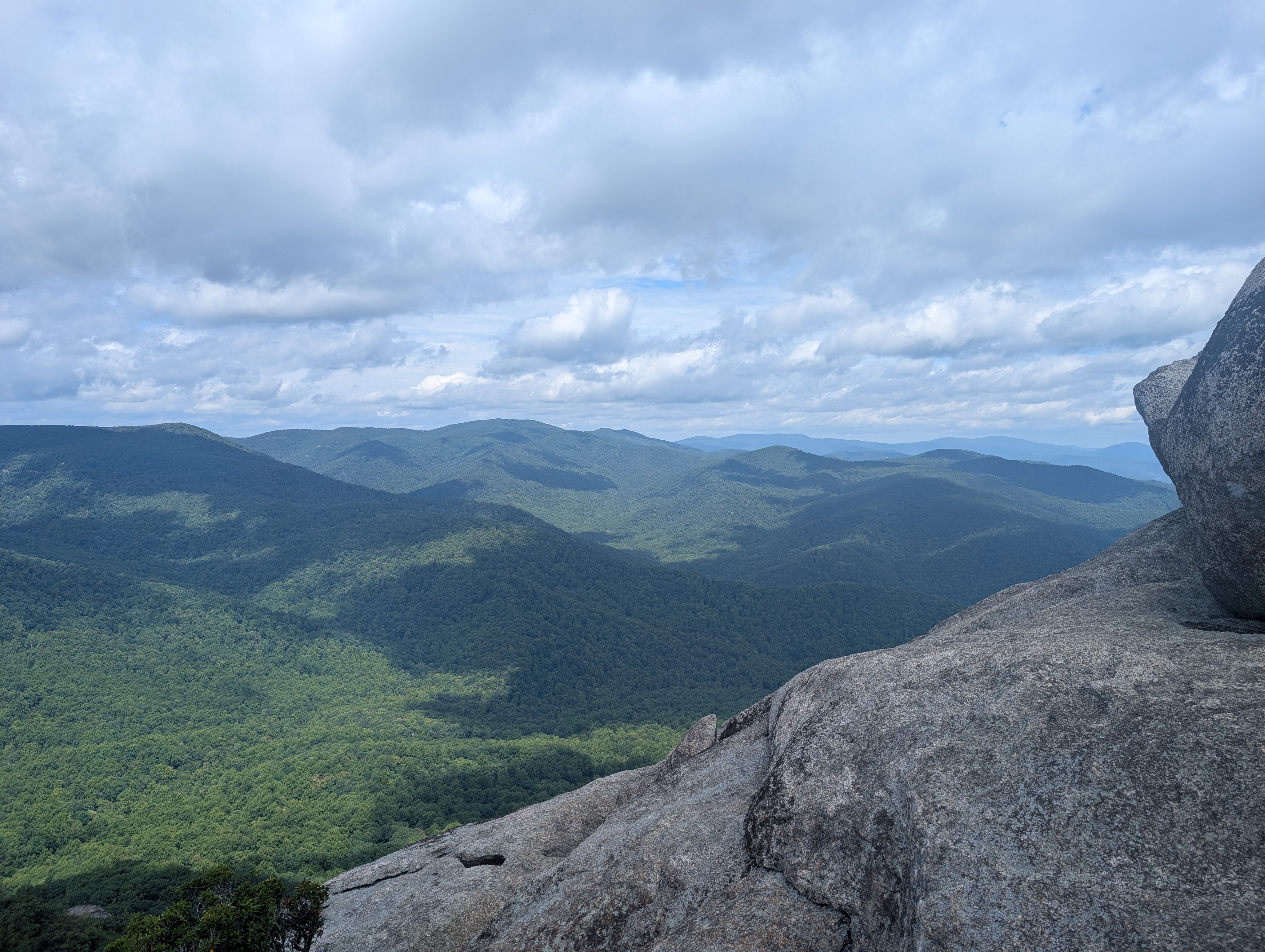
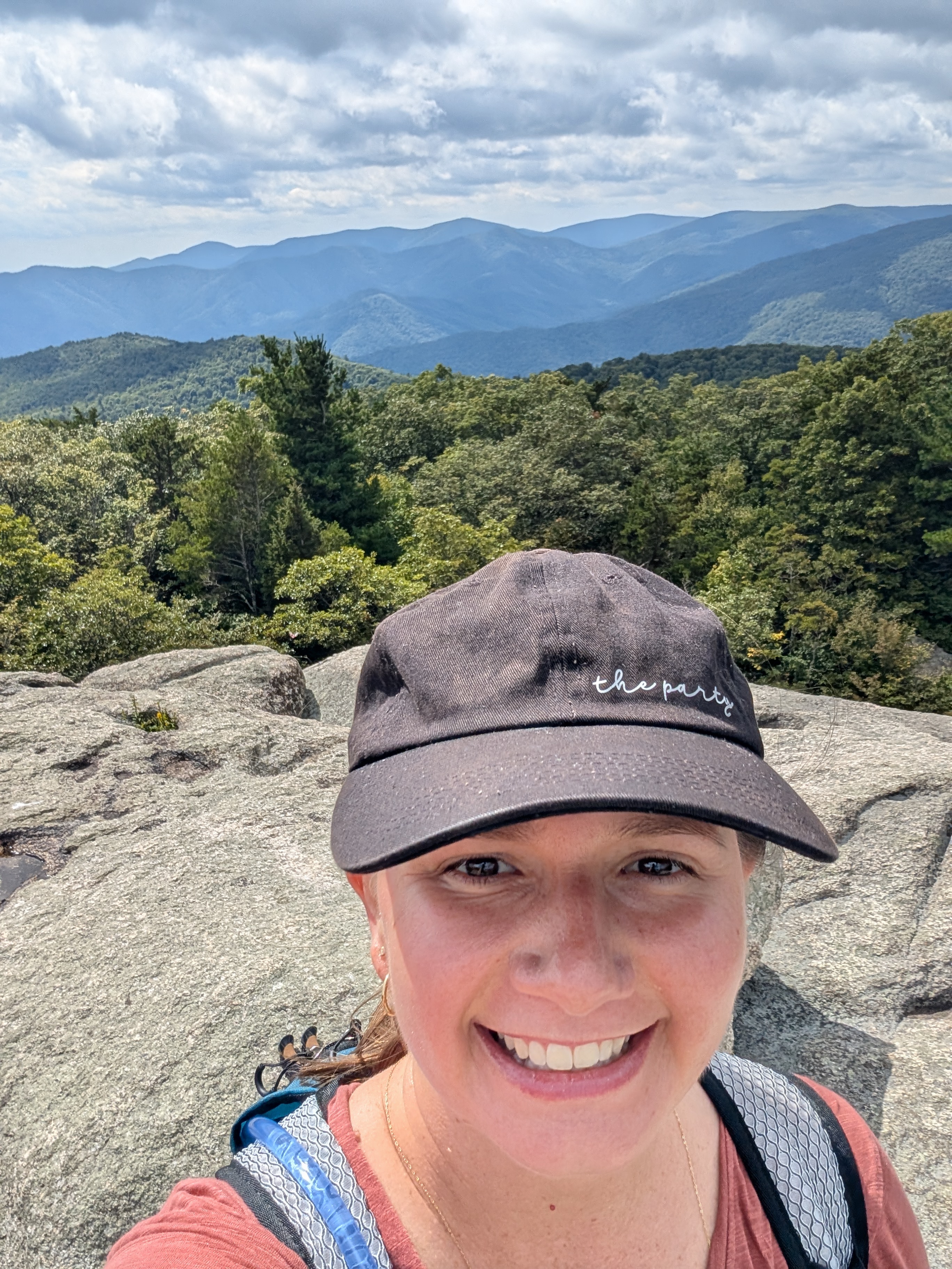
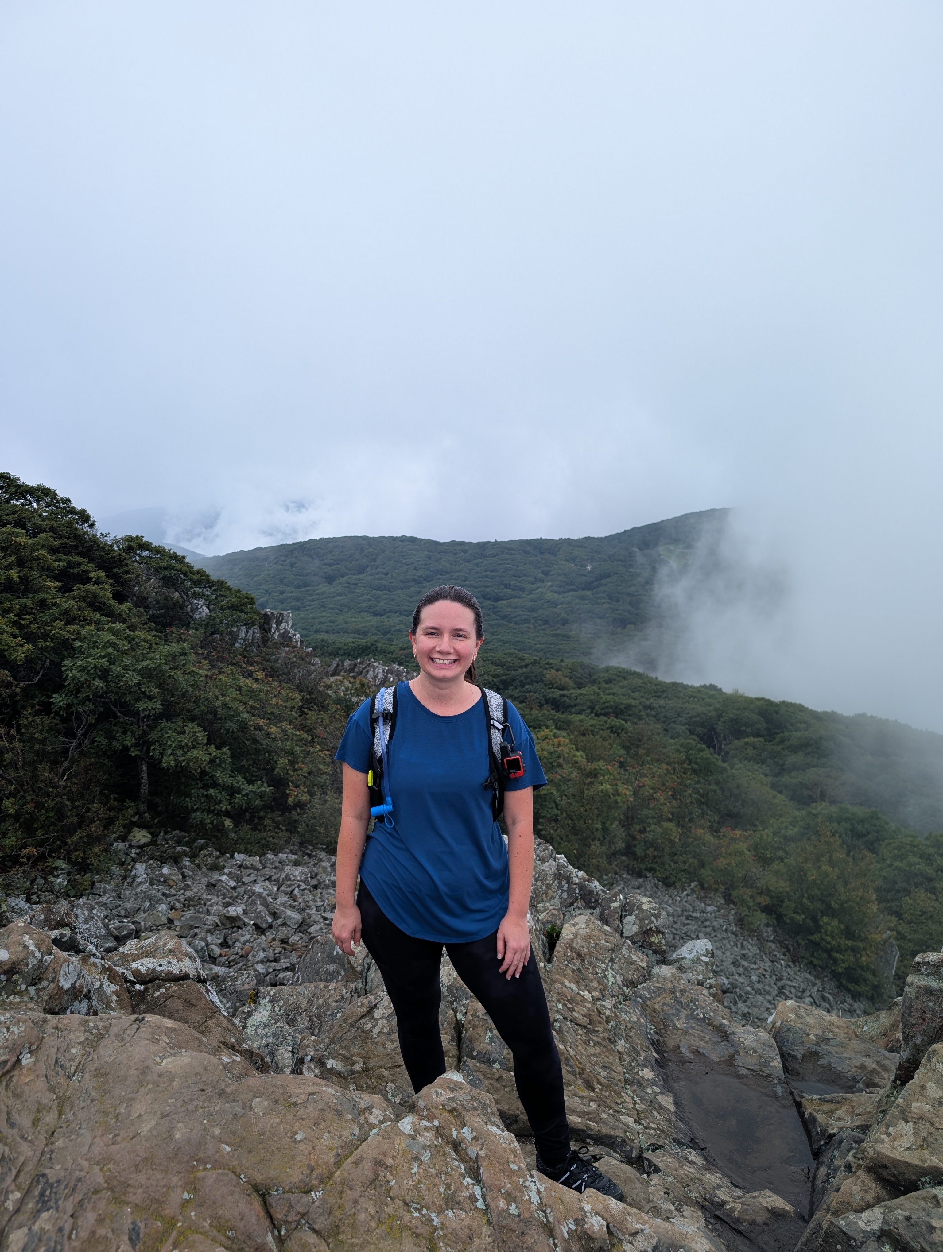
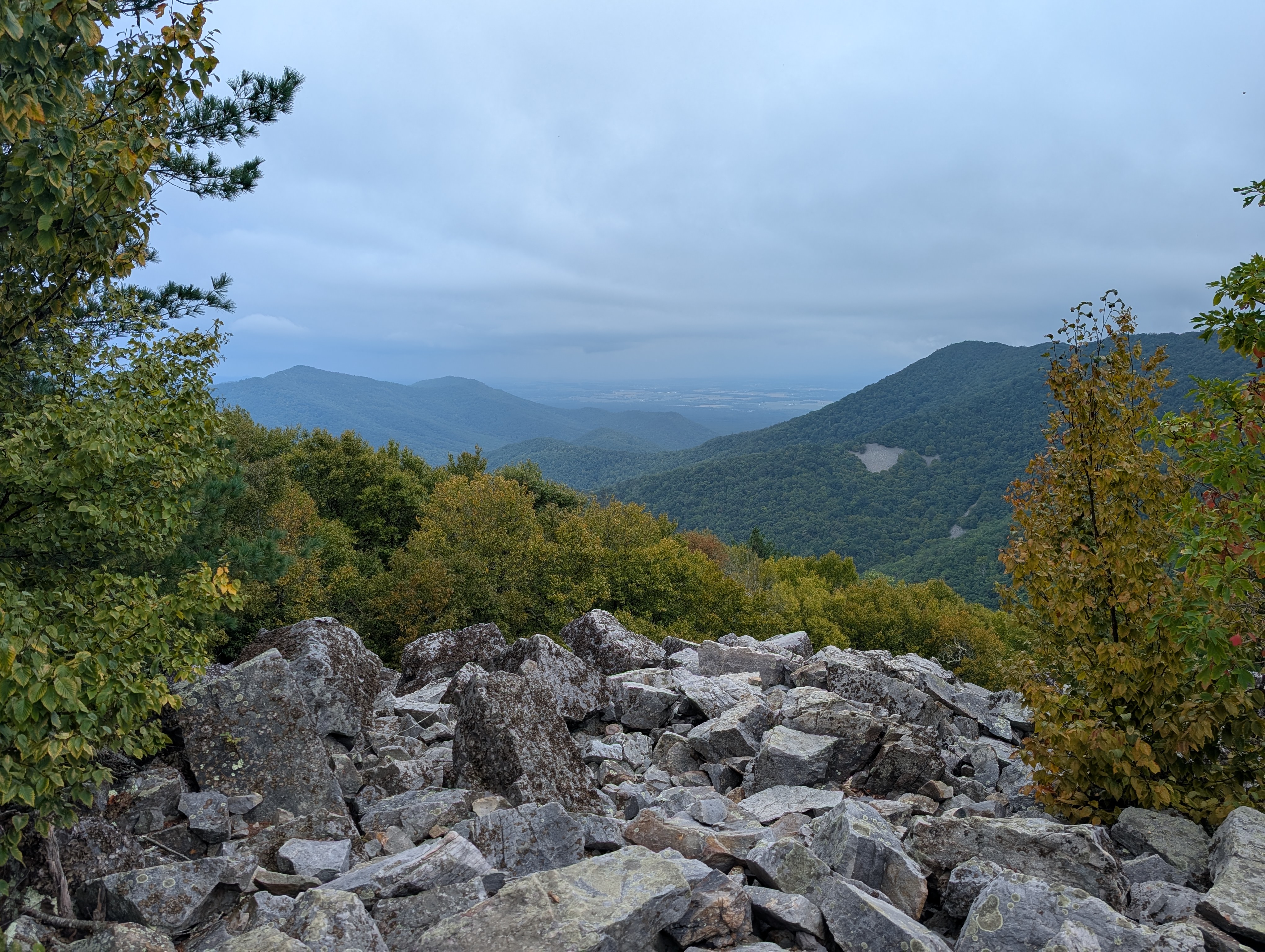
    On Thursday morning, I felt ready for my hike. I hiked Old Rag Mountain. There are various ways you can hike it, depending on how long you want to hike and how much elevation gain you want. I chose the shortest way. It was 5.6 miles and had an elevation gain of 1,700 feet. That’s not a lot for some people, but it’s more than I usually do, so it was a challenge. I made it! The view from the top was beautiful. I stayed up there for a while and had the summit to myself. Well, I shared it with a bunch of spotted lanternflies, which I later learned are invasive species and I should have killed, but I was the only human there.

    When I was up there, the view reminded me of my time in Asheville. I later found out that Shenandoah is in the Blue Ridge Mountains, which explains why I was reminded of Asheville. Those are the same mountains I saw in February. The first ones I saw on my road trip and the ones that started making me realize that I love the mountains.

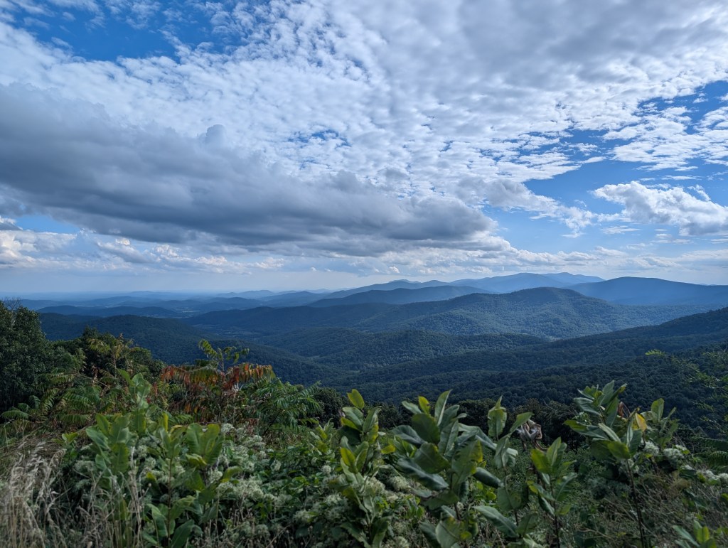
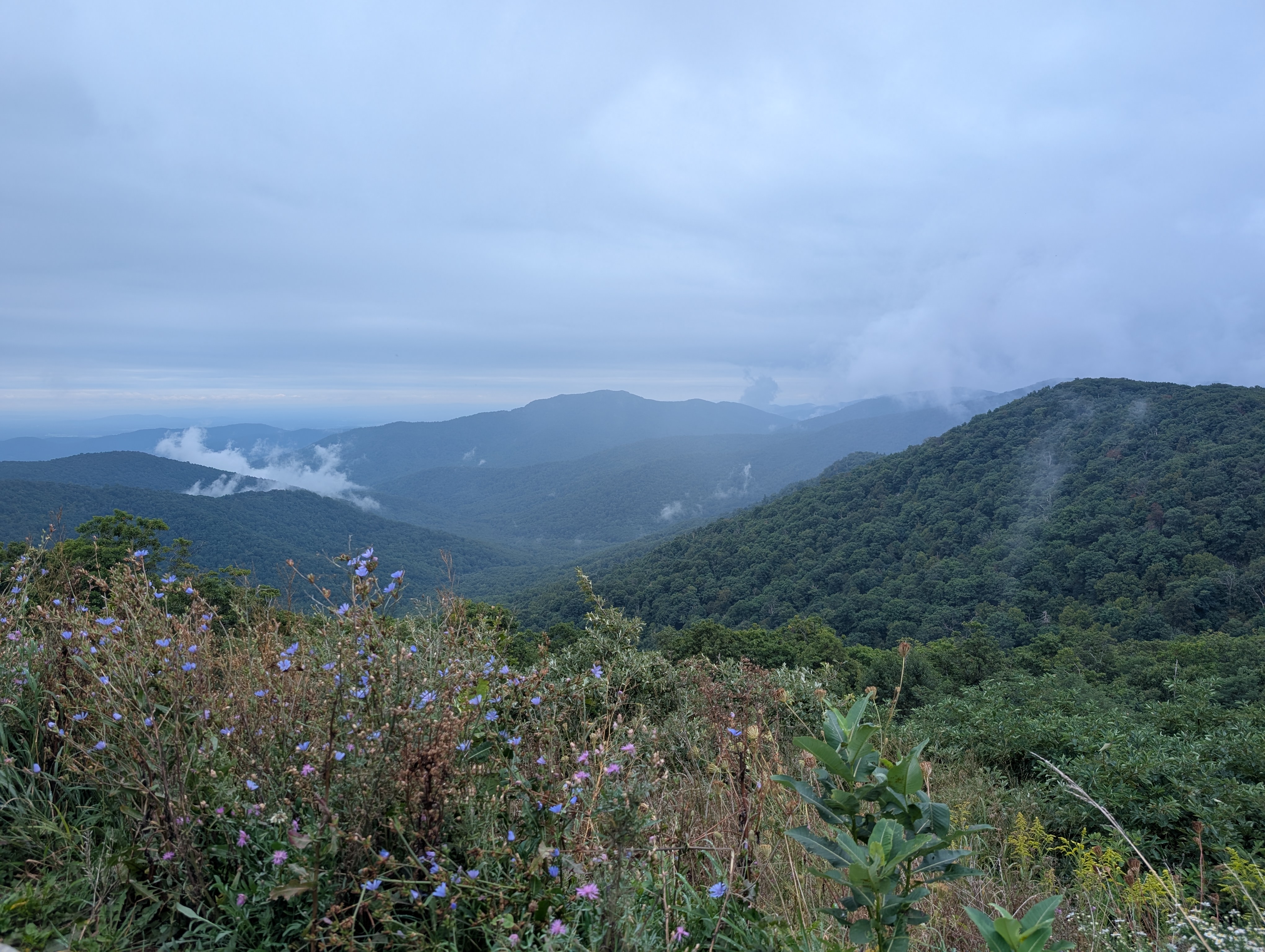
    Shenandoah National Park is a long and thin park. Skyline Drive is the road that spans the entire park, north to south. Apparently, it was specifically designed to be the main attraction of the park and the lookouts were built at strategic locations. I drove the northern third of Skyline Drive after hiking Old Rag. Some of the lookout points are overgrown with trees, so you can’t see much, but it was still a beautiful drive.

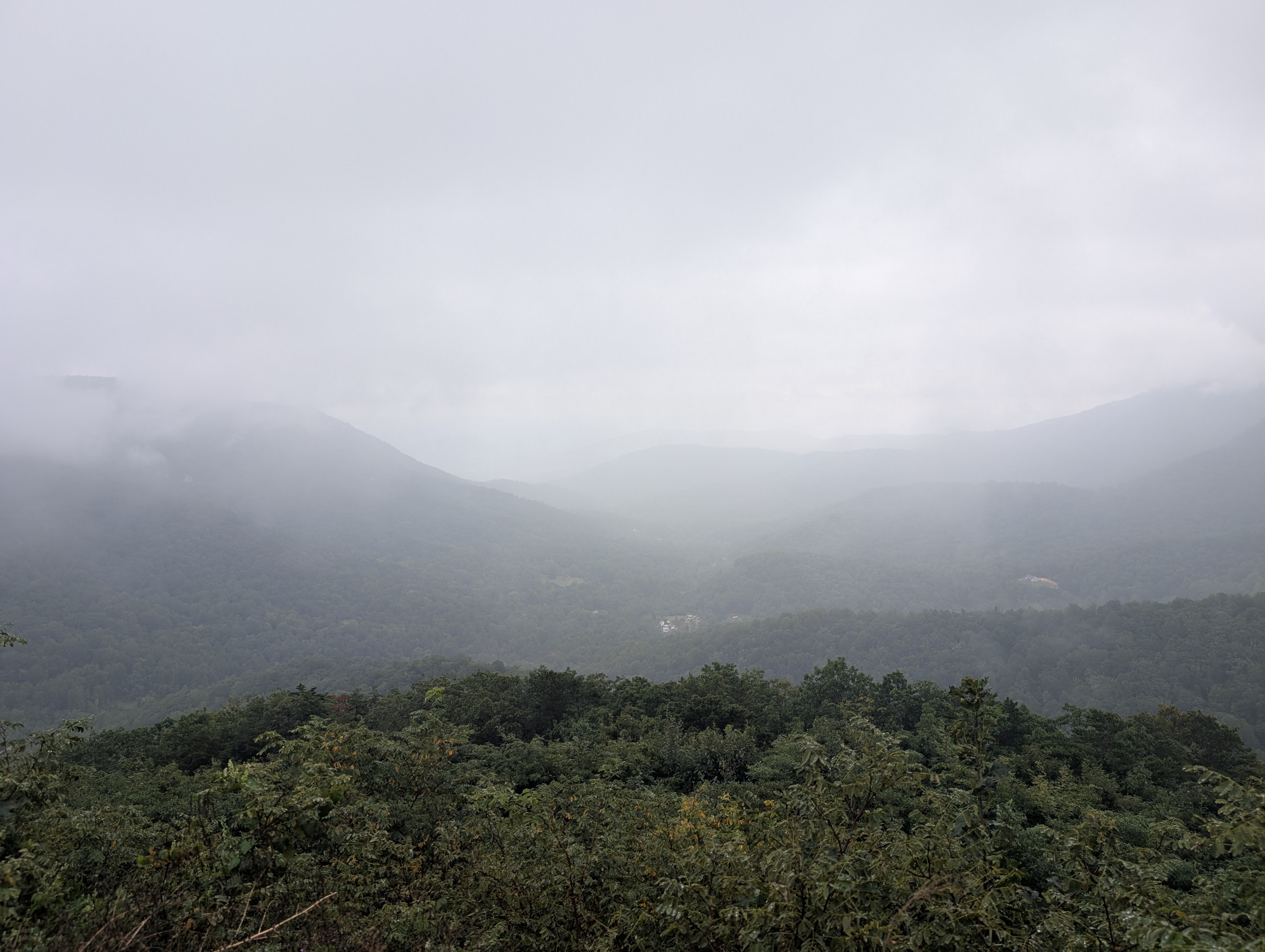
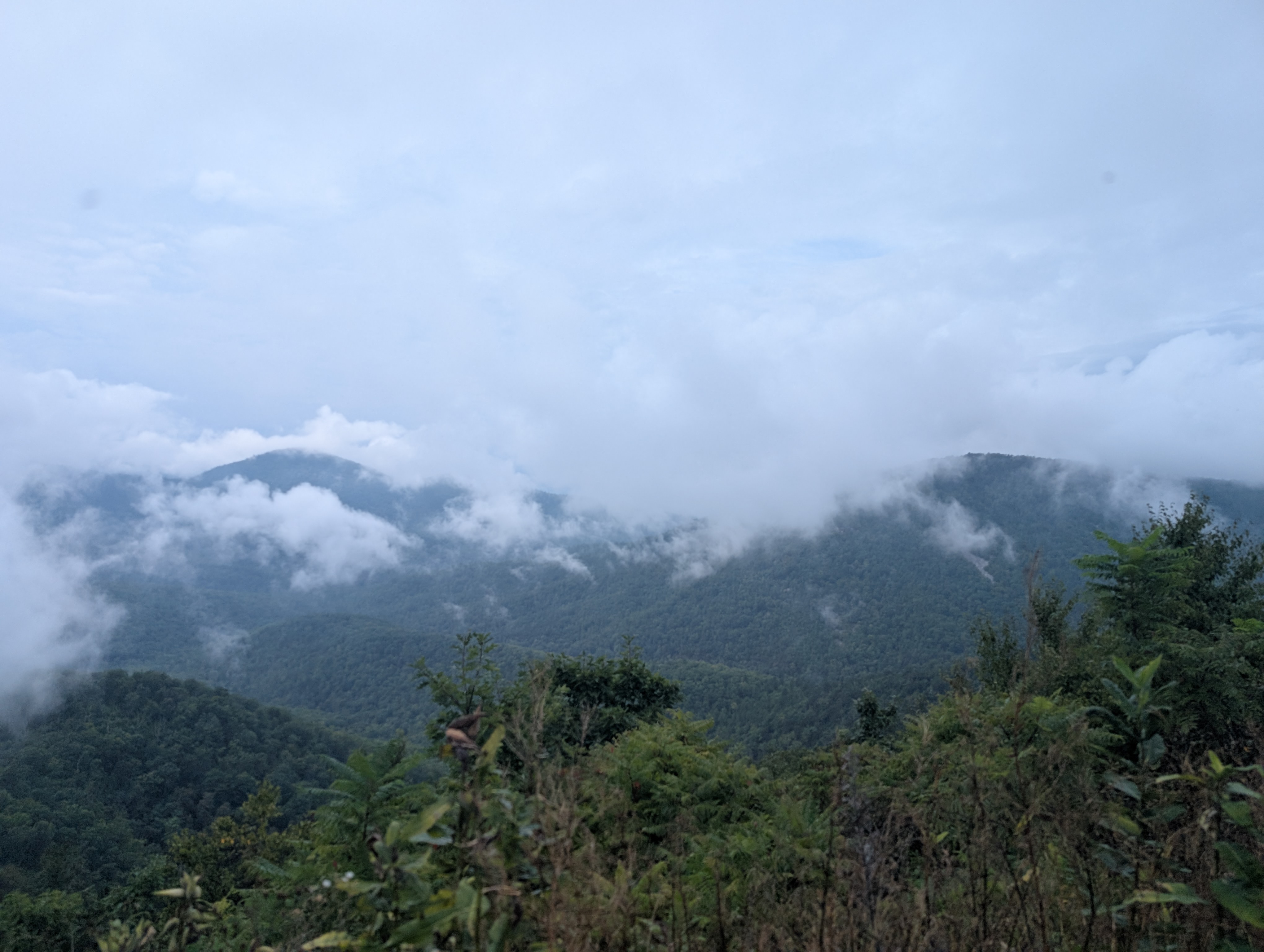
    On Friday, I drove to Washington, D.C. to see my friend Paola for the weekend. Since it was a short drive and Paola was at a conference all day, I spent the day at Shenandoah. I drove the rest of Skyline Drive, stopping at a bunch of lookout points and doing a few short hikes along the way. Unfortunately, it was rainy and foggy, so I saw fog for most of the day. But towards the end of my drive, the sky cleared up and I was able to see the views from my third hike and the last few lookouts.

    When I reached the southernmost point of the park, I headed to D.C. On my way there, I kept wondering what state license plate people there have. I assumed there is a D.C. plate and I was right. It’s kind of strange though. I’m in a city, but I’m not in any state and only people in this one city have a Washington, D.C. license plate. And then I thought that I wouldn’t have a state to add on my blog post title. D.C. is sort of like the state since it comes after a comma, but not really. And if D.C. is the state, then the city is Washington, which is also a state. Why did they have to make this all so confusing? That’s a glimpse into some of the ridiculous thoughts I have as I’m driving. Anyway, I made it safely to D.C. and have been having fun here the past couple of days.

  • Cuyahoga Valley National Park, OH

    Cuyahoga Valley National Park, OH

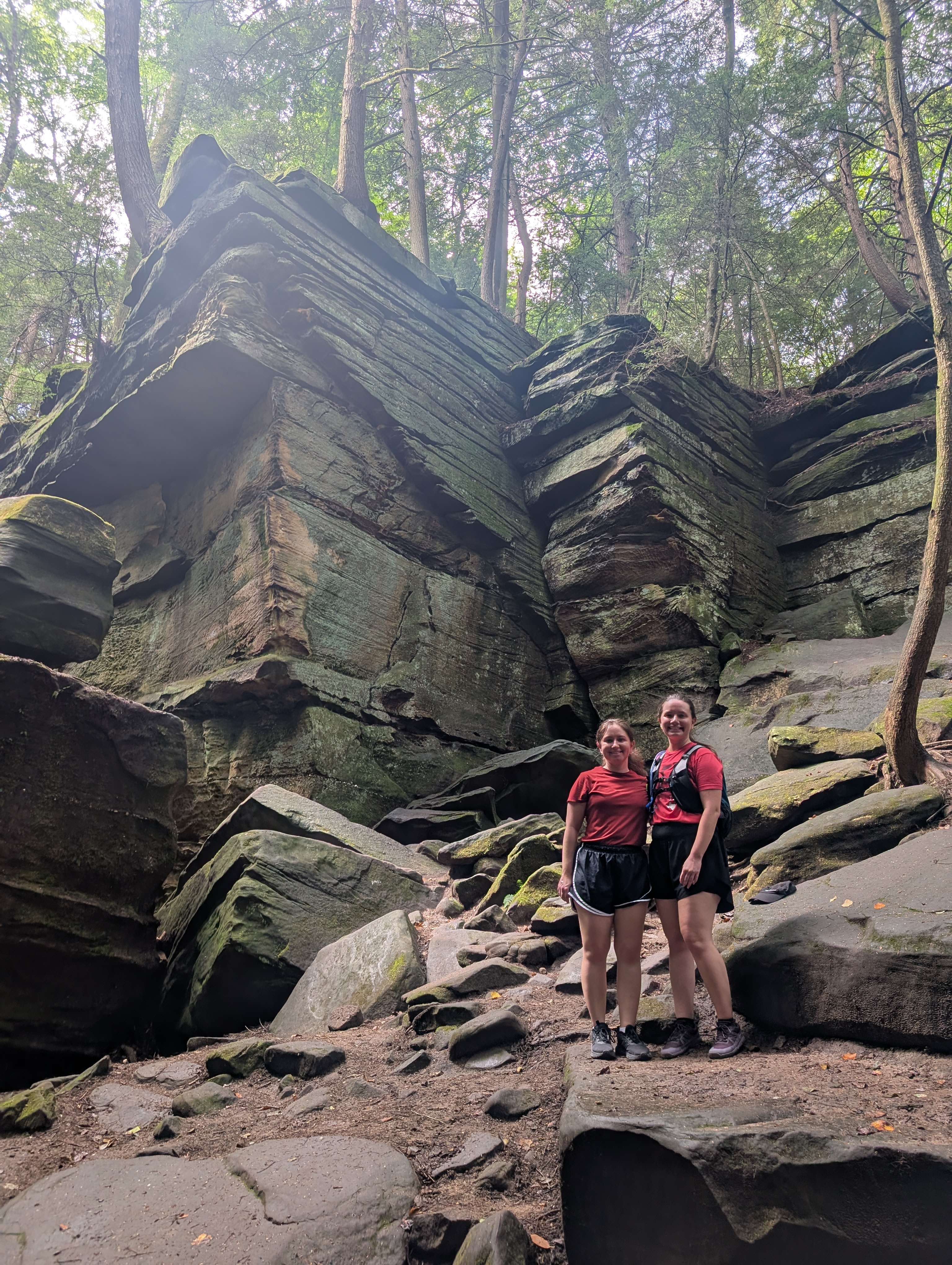
    My sister, Nicole, arrived in Cleveland yesterday evening. We visited Cuyahoga Valley National Park today. It’s her first national park and I kept telling her how lucky she is that her first one is one of the less amazing ones. My first national park was Zion and now it’s hard to impress me.

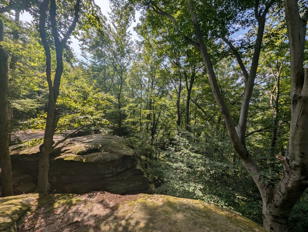
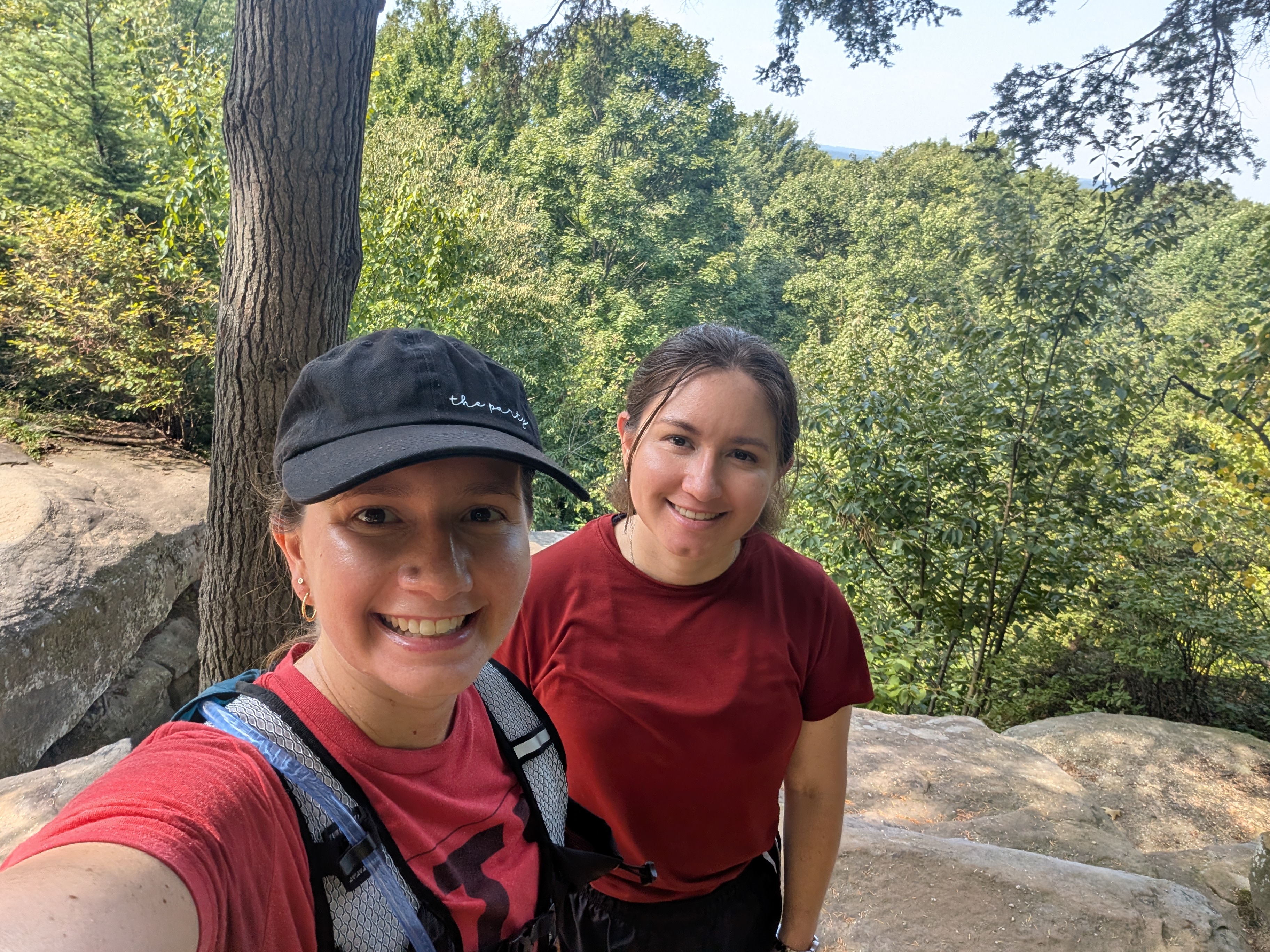
    We did two hikes today. We started the day with the Ledges trail that goes through some cool rocks, but we made it a longer loop through the forest. Supposedly, there’s a great view of the valley from one of the overlooks, but all we could see was the tops of the trees. It probably looks beautiful in the fall when all the leaves start changing colors.

    After the hike, we stopped at the visitor center. When we were little, we had an Arthur (the aardvark) book where Arthur’s aunt brings the family “maple syrup all the way from Ohio!” That was a line we often repeated growing up and Nicole really wanted to buy some maple syrup all the way from Ohio. We didn’t know where to get some since regular grocery stores just have maple syrup from Vermont or Canada, so Nicole asked the rangers at the visitor center and they knew where to find it.

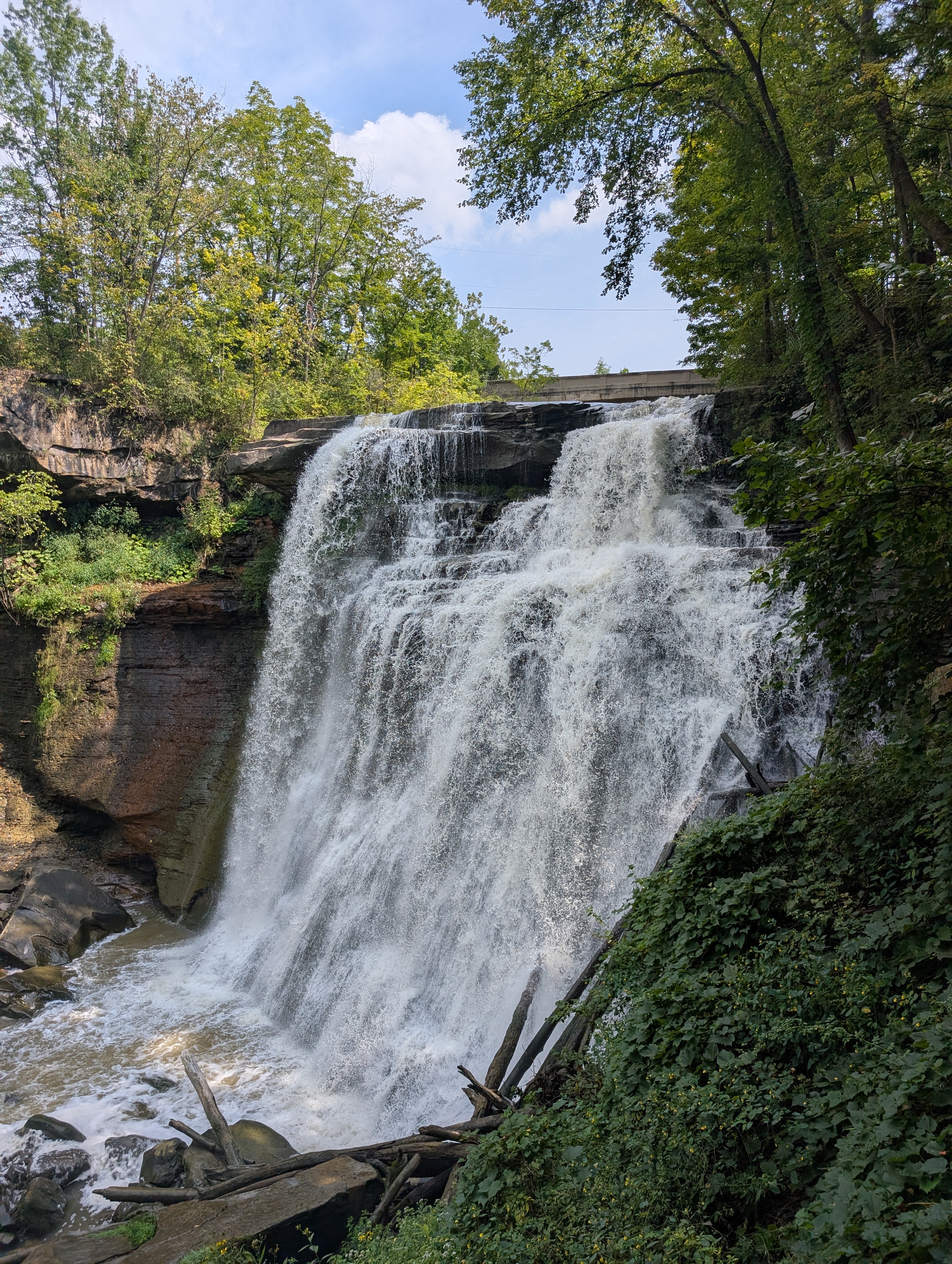
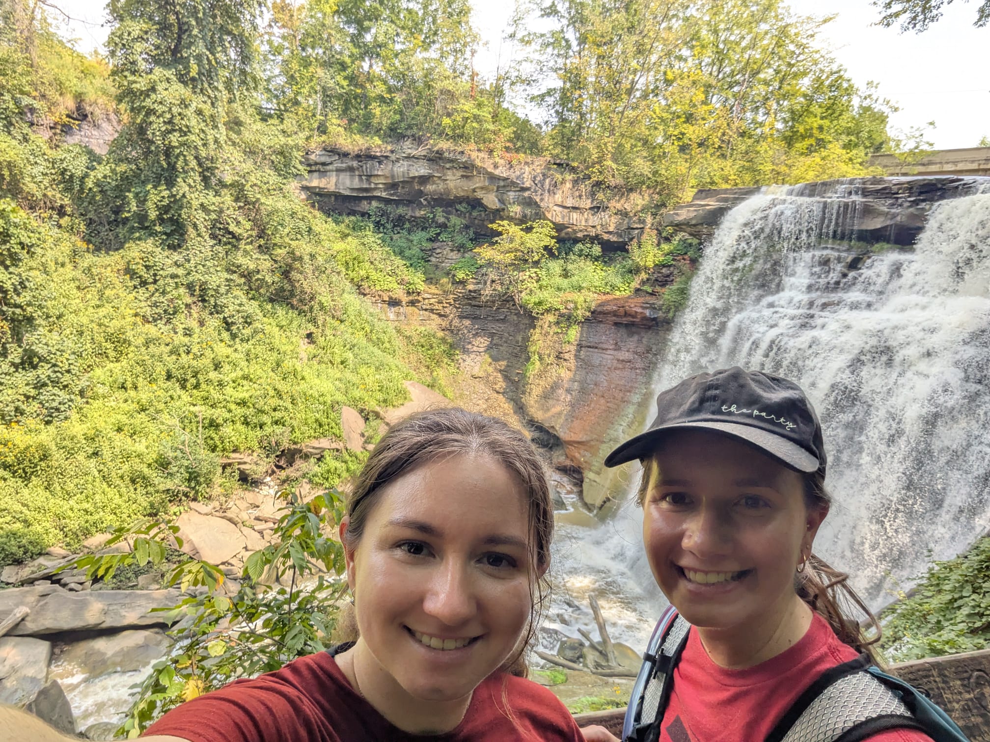
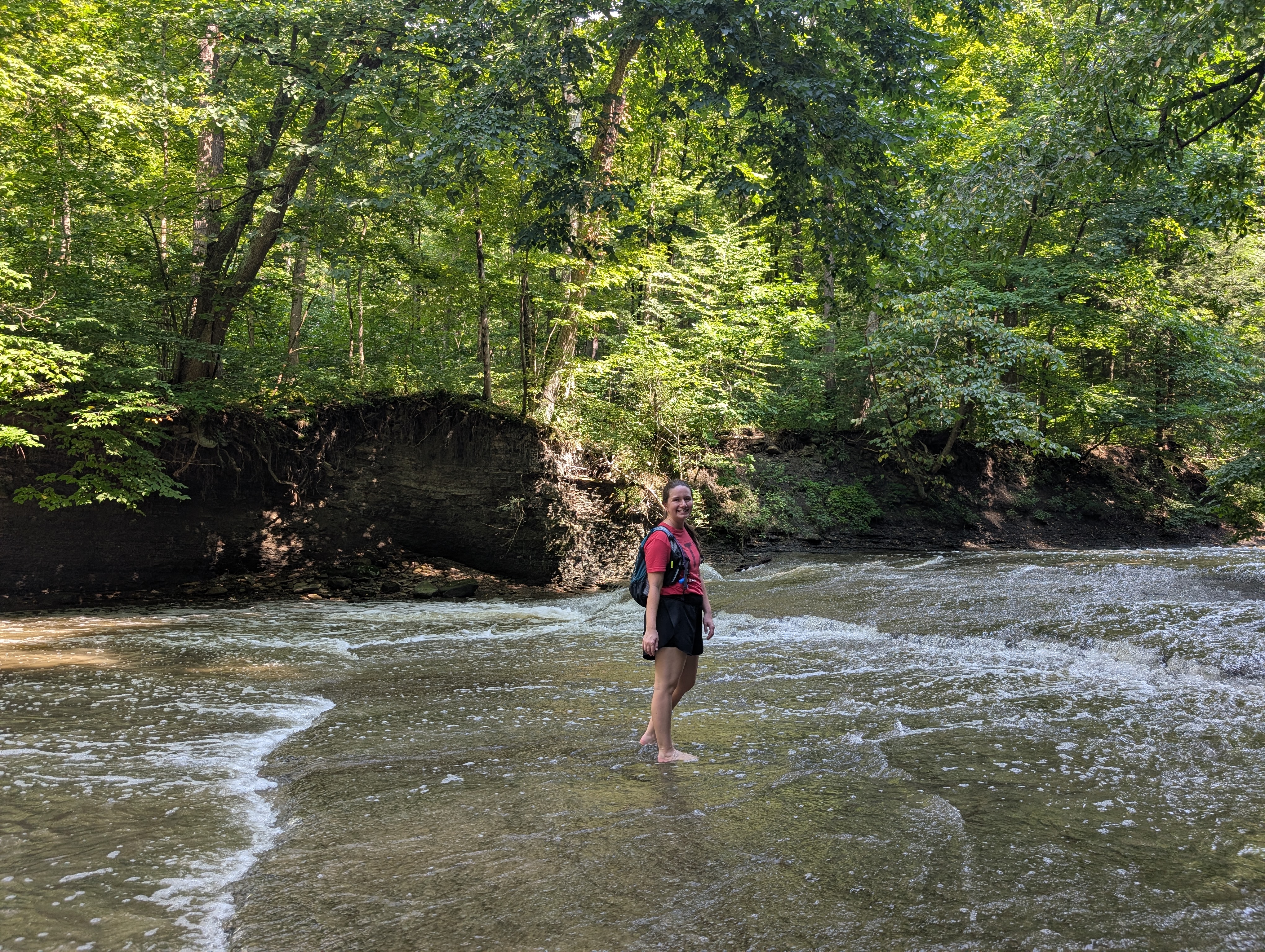
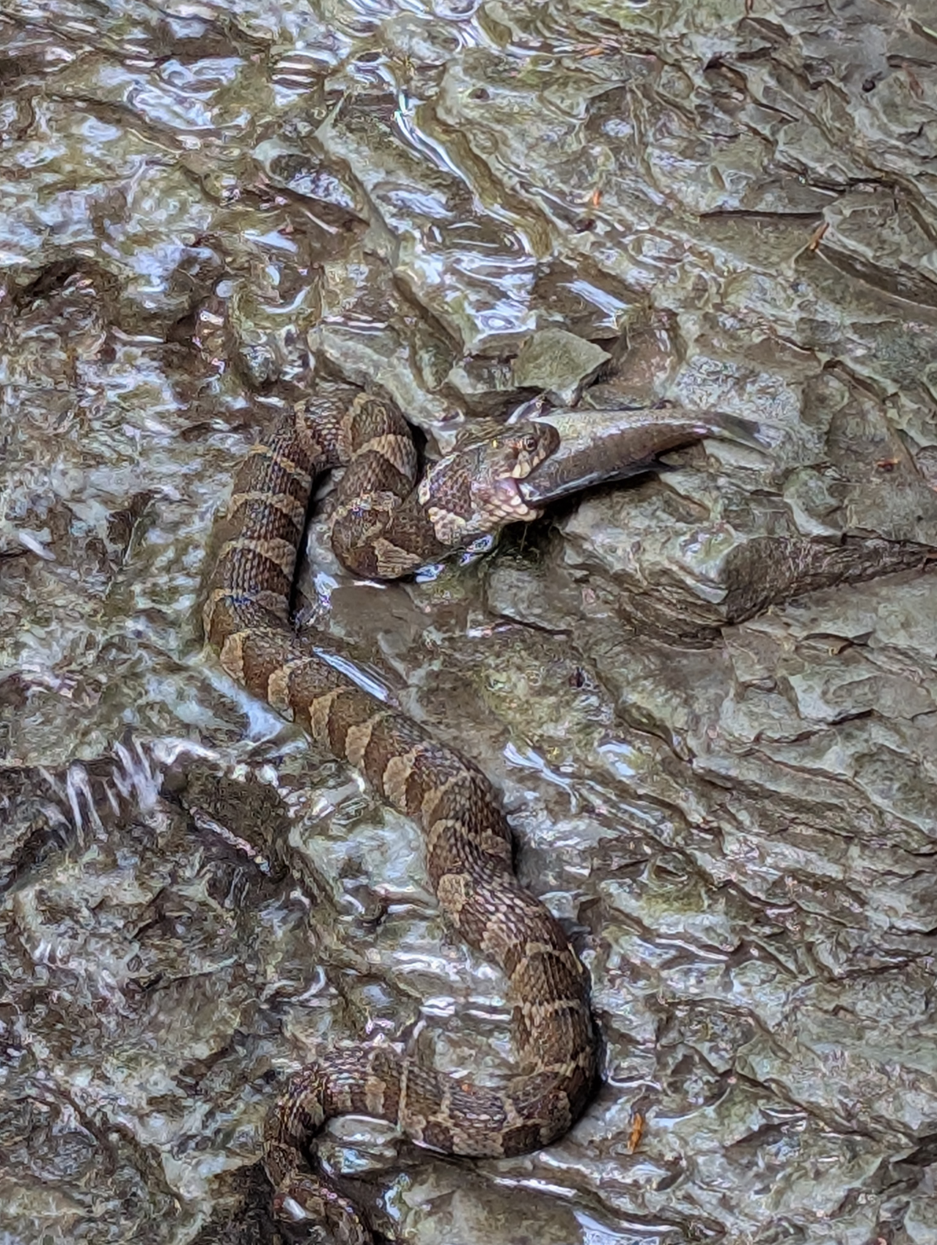
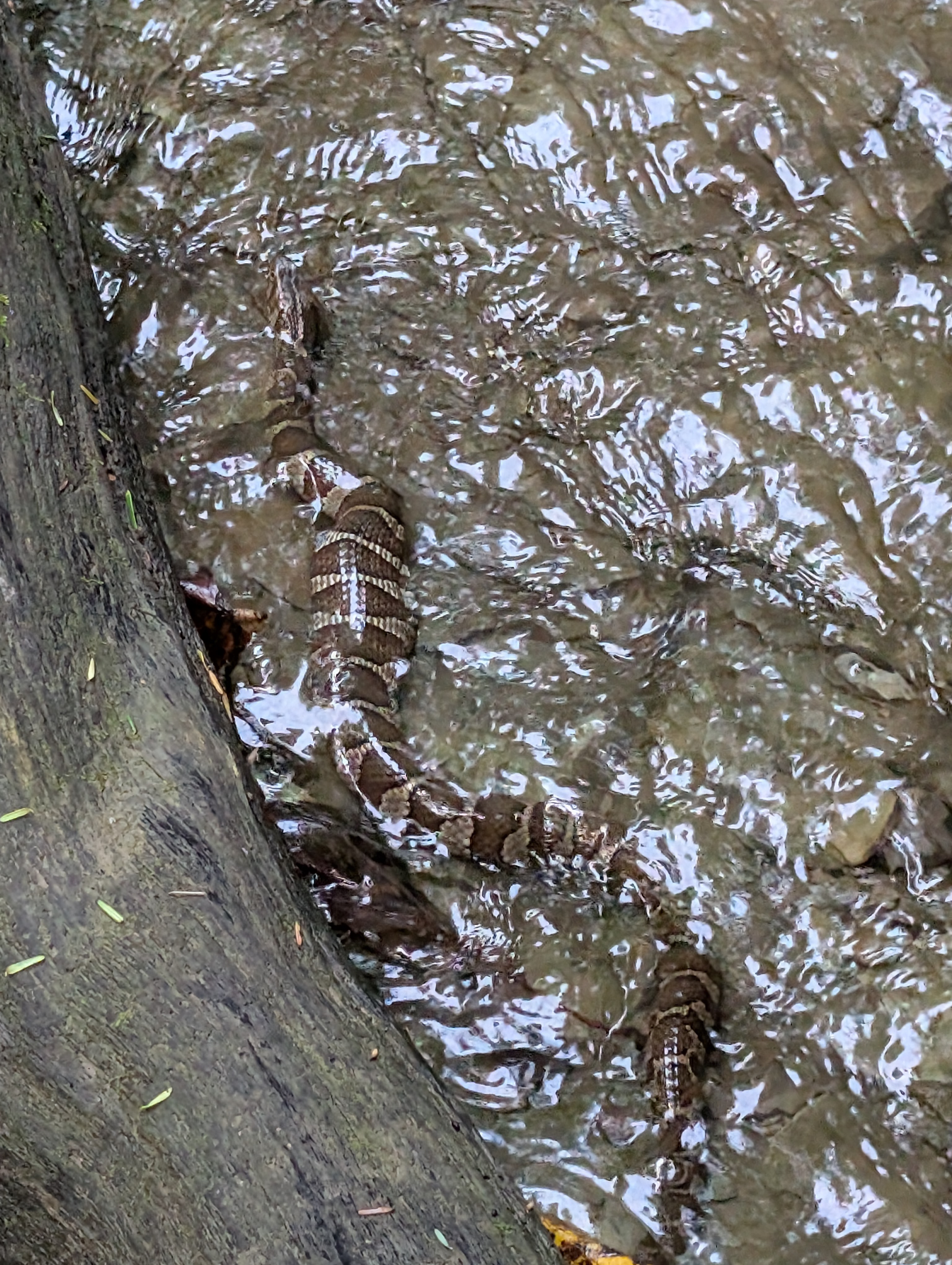
    Once we had procured the maple syrup, we hiked the Brandywine Falls loop. The falls are the most popular attraction in the park and they’re the largest continuously running falls in Ohio. We found a spot where we could walk across the river to a shady area on the other side and ate our lunch there, accompanied by a snake who was also eating its lunch. I had heard and seen pictures of snakes unhinging their jaw and the bulging form of their prey in their stomachs, but I had never seen it in person until today.

    At one point during the hike, we could pick between making the loop small, medium, or large. We picked the medium loop but soon started hearing thunder, saw that the gray clouds overhead were slowly moving closer, and the wind started picking up. So we backtracked to take the small loop option and made it back to the car before it started raining.

    We only had one day at Cuyahoga since it’s a small park. Tomorrow, we’re driving to NY for another sister’s bachelorette.

  • New River Gorge National Park, WV

    New River Gorge National Park, WV

    I did something stupid yesterday. Really, I did something stupid the last three days, but last night I finally faced the consequences of my stupidity. I bought ginger and have been boiling it to make tea. When it was ready, I would hold a mug over the sink and pour the tea into the mug from the pot. Why didn’t I set the mug down in the sink to pour the tea in? I have no idea. Two nights ago I thought to myself that I was lucky I hadn’t accidentally poured tea on my hand. Still, I went through the same process last night and this time, I poured boiling tea on my hand. Somehow, I managed not to drop the pot or the mug. I set down the mug and ran cold water over my hand. My hand is fine today. It’s not even red. But it did hurt a lot for a few hours last night, which is why I’m writing this blog post today instead of yesterday. I wish I could say I’ve learned my lesson, but knowing me, I’ll probably be back to pouring boiling tea into a mug I’m holding in a few weeks.

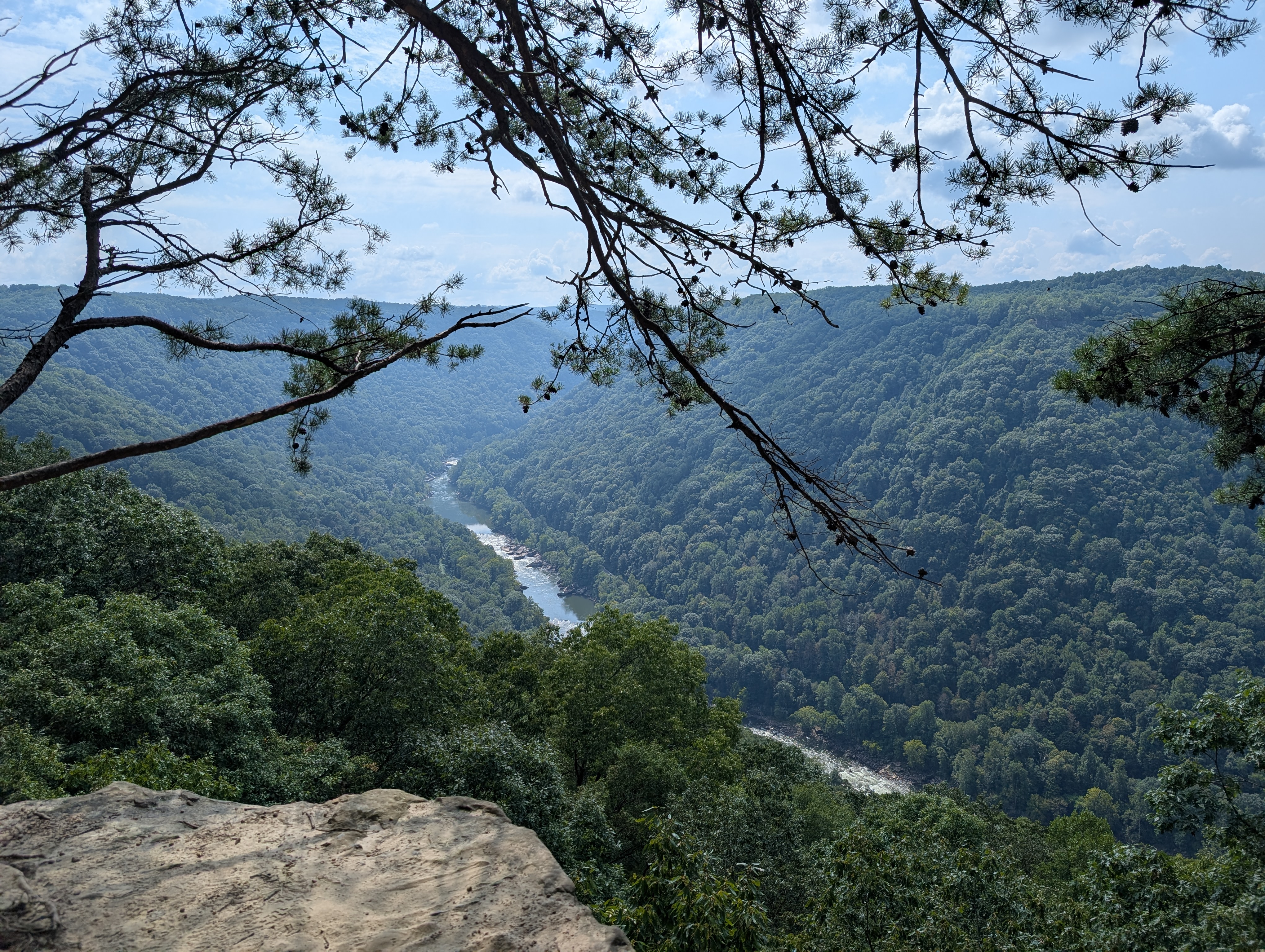
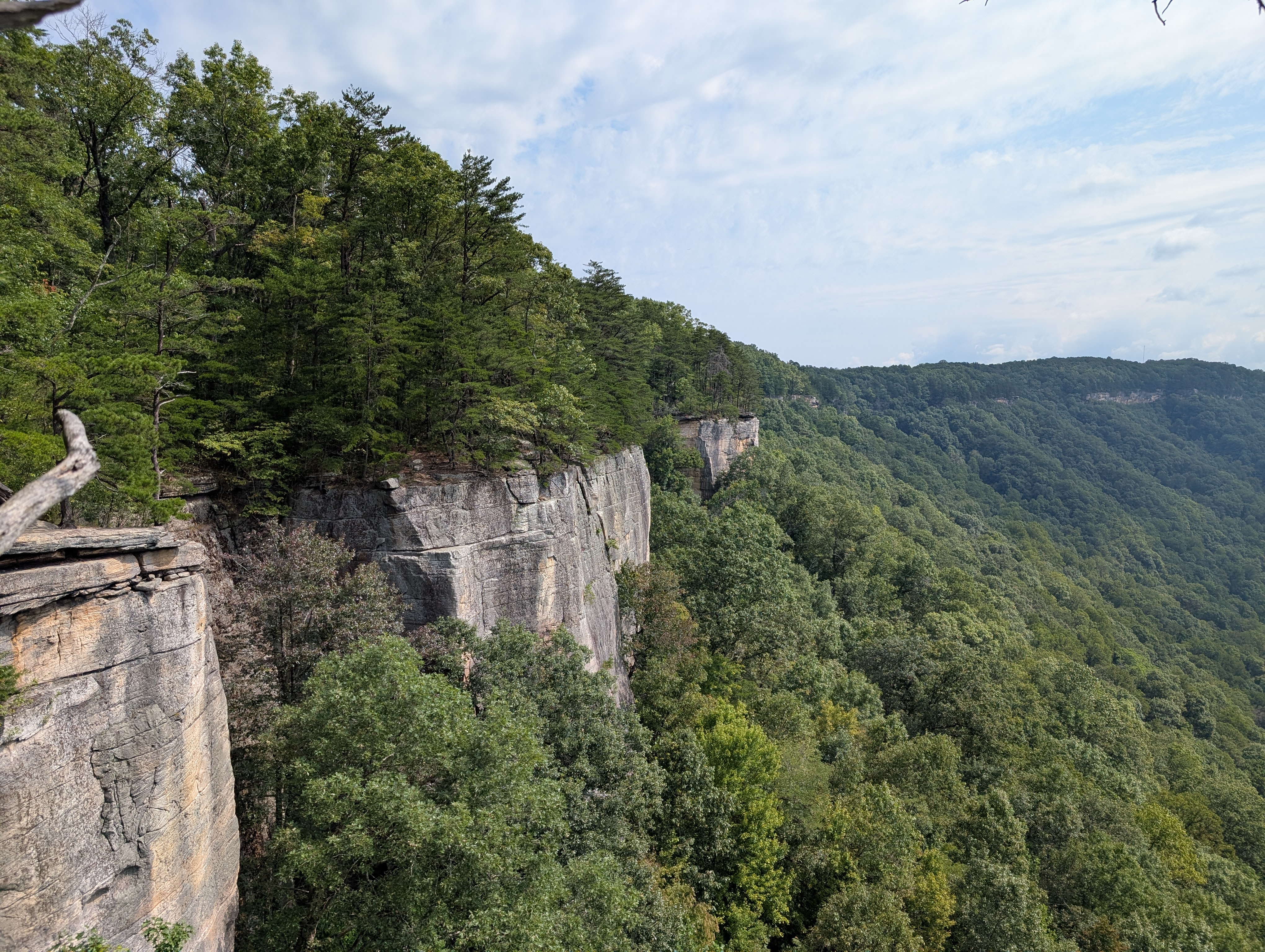
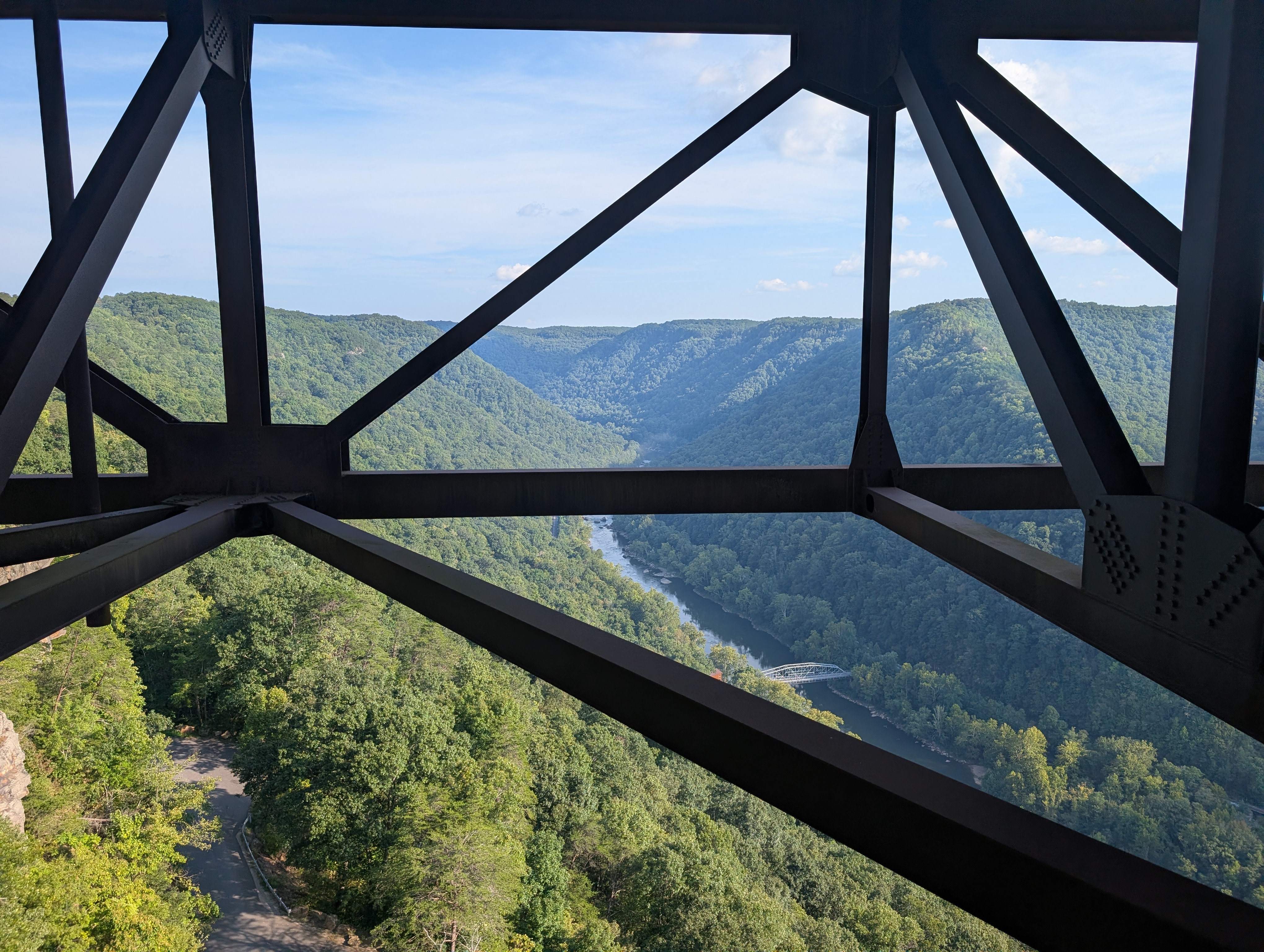
    Anyway, let’s get back to New River Gorge. I was there for two days. The first day, I hiked the Endless Wall trail. I thought I’d be walking next to the endless wall, but it turned out that I was walking on it. There were some great views of the river and the gorge, but it’s kind of hard to impress me after all the spectacular gorges I’ve seen on this road trip. It was still beautiful though.

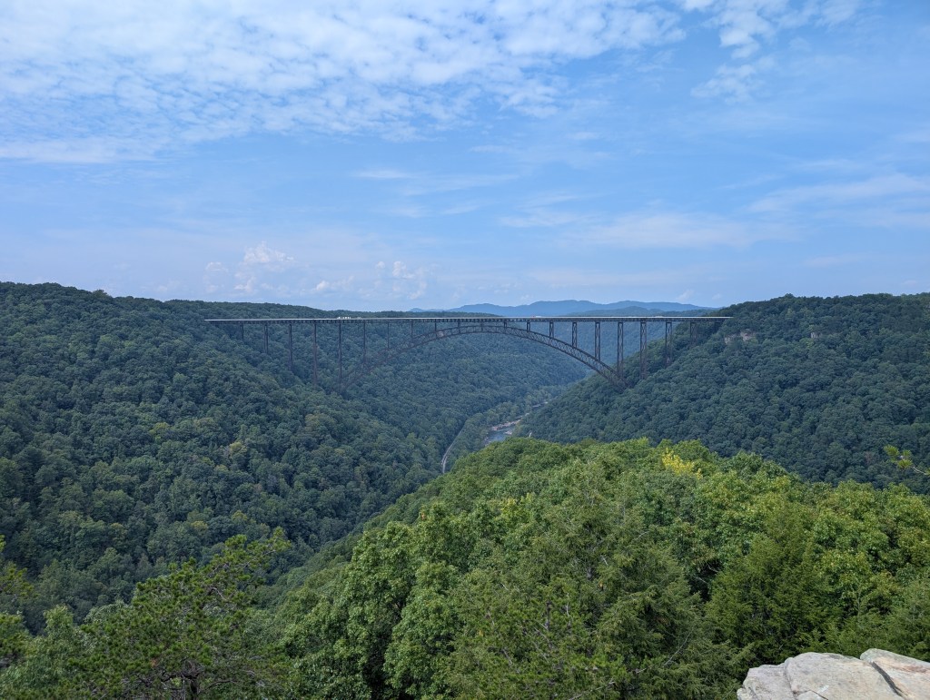
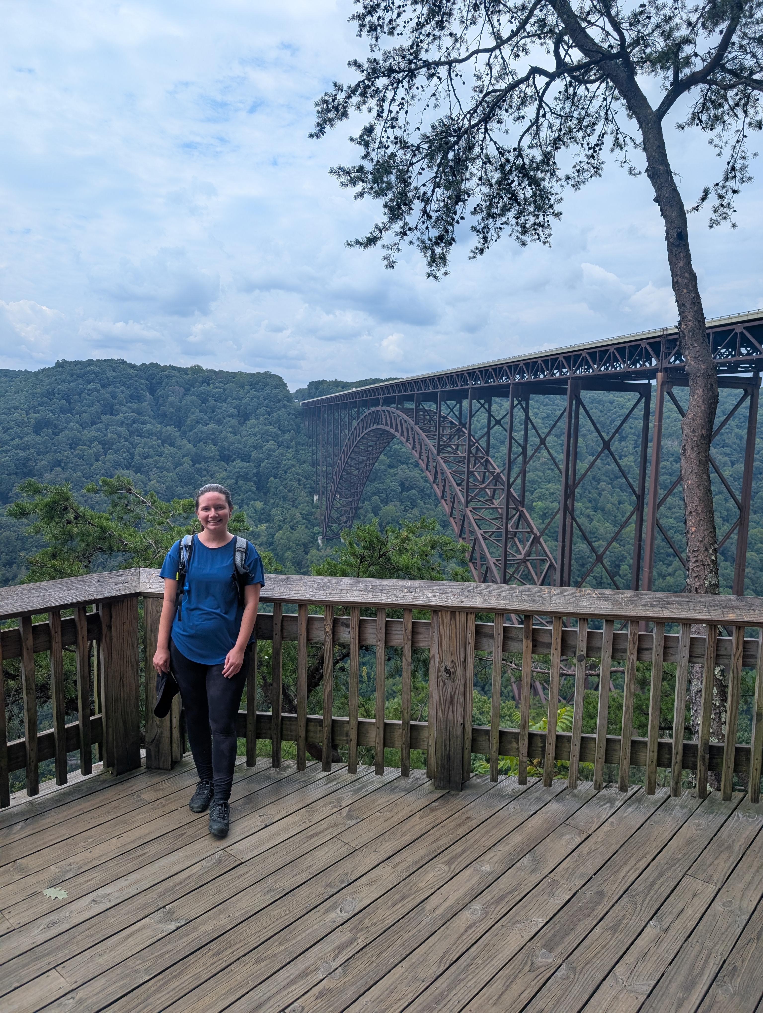
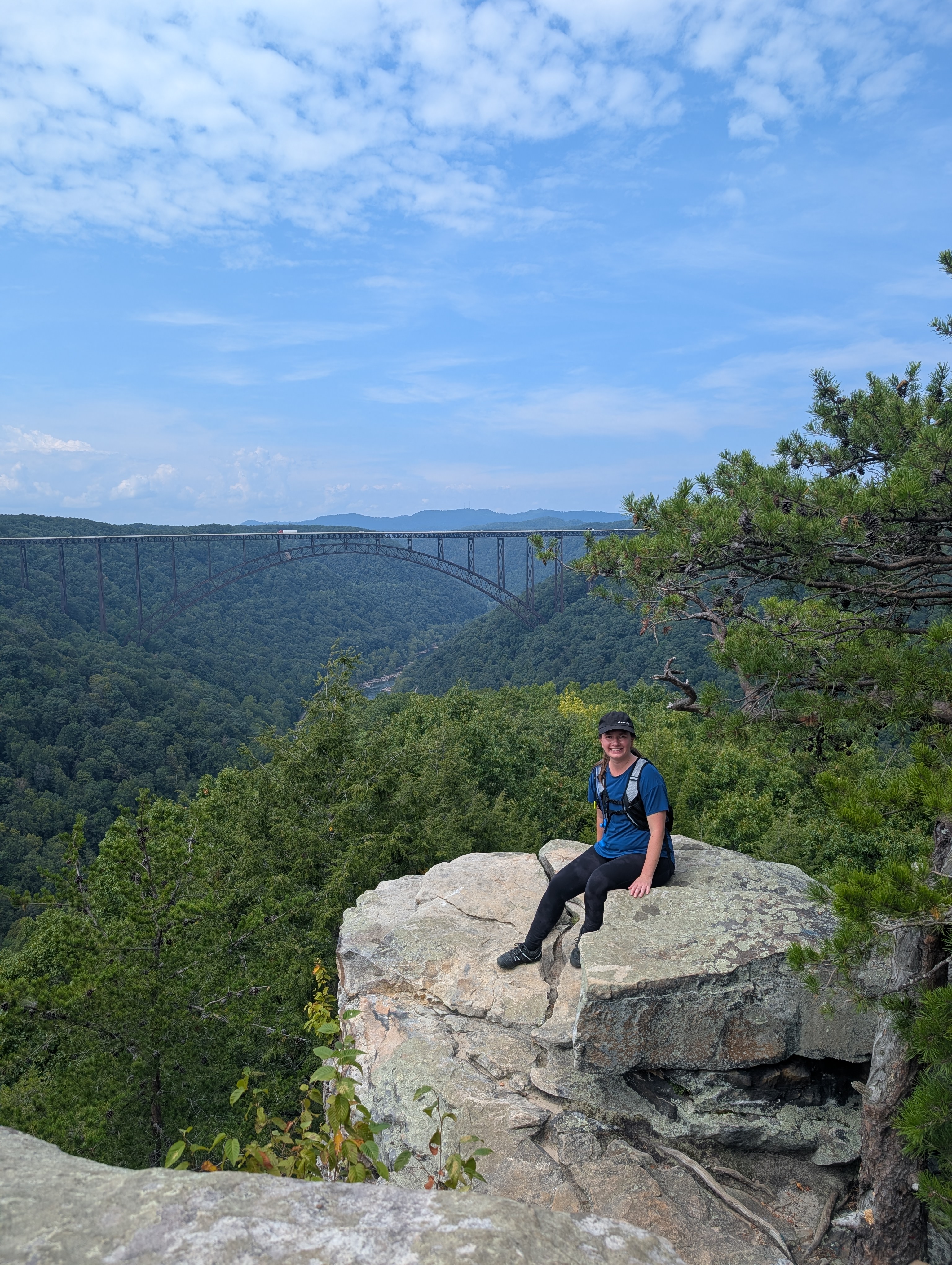
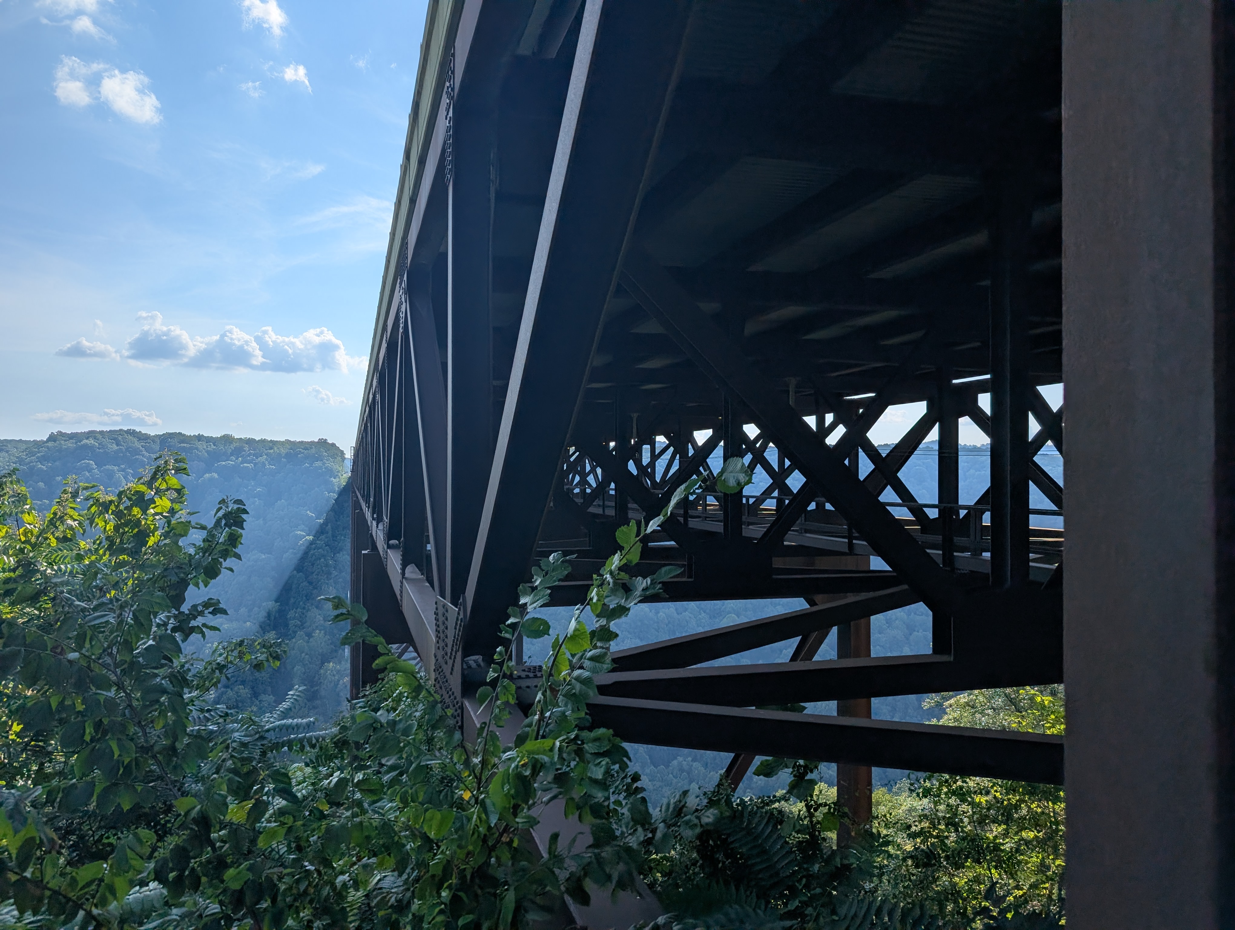
    My original plan was to drive 40 minutes to another part of the park after that first hike to do a quick 1 mile hike. But after the hike, I was feeling too tired to do another one. So I went to the visitor center to see the famous New River Gorge Bridge up close, learn more about the park, and eat my lunch. After lunch, I decided that instead of doing the 1 mile hike that I was too tired to do, I would do a 3 mile hike that was close by. That somehow made perfect sense. I hiked the Long Point trail and I liked it better than Endless Wall because you get a view of the bridge. It’s not nature, but it was amazing to see the bridge over the gorge and it’s something different from the other parks I’ve been at.
    During the second hike, I rolled my ankle. I barely felt it, but a few hours later, my knee started hurting. My second day at New River Gorge was spent trying not to be frustrated by how easy it is to get one of my knees to hurt. Instead, I tried to be grateful for the fact that I have legs and knees that (mostly) work, that I have the time to rest, and that I wasn’t at a national park where missing a day of hiking would be devastating.

    My plan that day had been to drive to the southern part of the park, do the hike I didn’t do the day before, and see some waterfalls. If I didn’t have more hiking planned for the rest of this week, I probably would have done it anyway. But I’m going to be with other people this week and I really didn’t want to have to sit those hikes out. So I rested, kept my leg up, did some red light therapy on it, and stayed off it as much as possible.

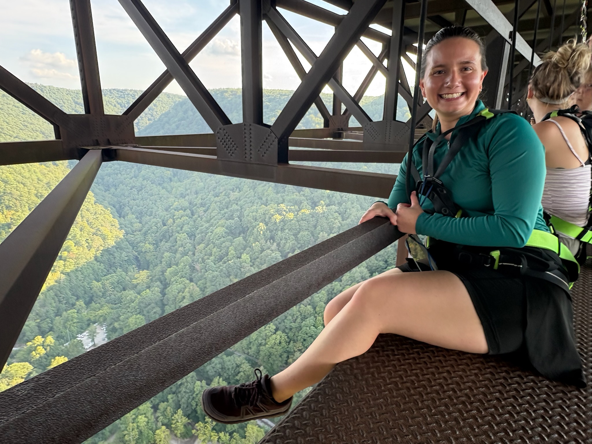
    I had booked a Bridge Walk for 4:30 pm. It’s a tour where you walk on a catwalk under the New River Gorge Bridge. I figured we’d be walking very slowly on flat ground so it wouldn’t be too hard on my knee. I had never done anything like it before and I didn’t want to miss it. I was right about it being ok for my knee. I barely felt it. The adrenaline of being on a catwalk 851 feet above the ground probably helped with that.
    The walk was scarier than I expected it to be. You have a harness on, so you’re completely safe, but you feel the bridge vibrating as cars drive above you, you feel the wind, and you’re walking on a very narrow catwalk that’s very high up. After a few minutes, I got used to it and didn’t feel scared anymore. Our guide told us that the bridge walk was started when New River Gorge was still a preserve. She said they wouldn’t have allowed it if someone wanted to start the bridge walk after it became a national park. Since it existed beforehand, they were grandfathered in. She also told us that despite it’s name, the New River is the second oldest river in the world. That was pretty cool to learn.

    My tour was the last one of the day and there was a wedding there after us! We got to see it from far away as we were reaching the end of the bridge. The people behind me had binoculars and we were able to see the bride’s dress with them, which confirmed it was the wedding. I forgot to ask our guide how she had a harness on with the dress because we didn’t see one.

    The bridge walk was my last adventure at New River Gorge. Today, I drove to Cuyahoga Valley National Park in Ohio, where I will have a visitor!

  • Mammoth Cave National Park, KY

    Mammoth Cave National Park, KY

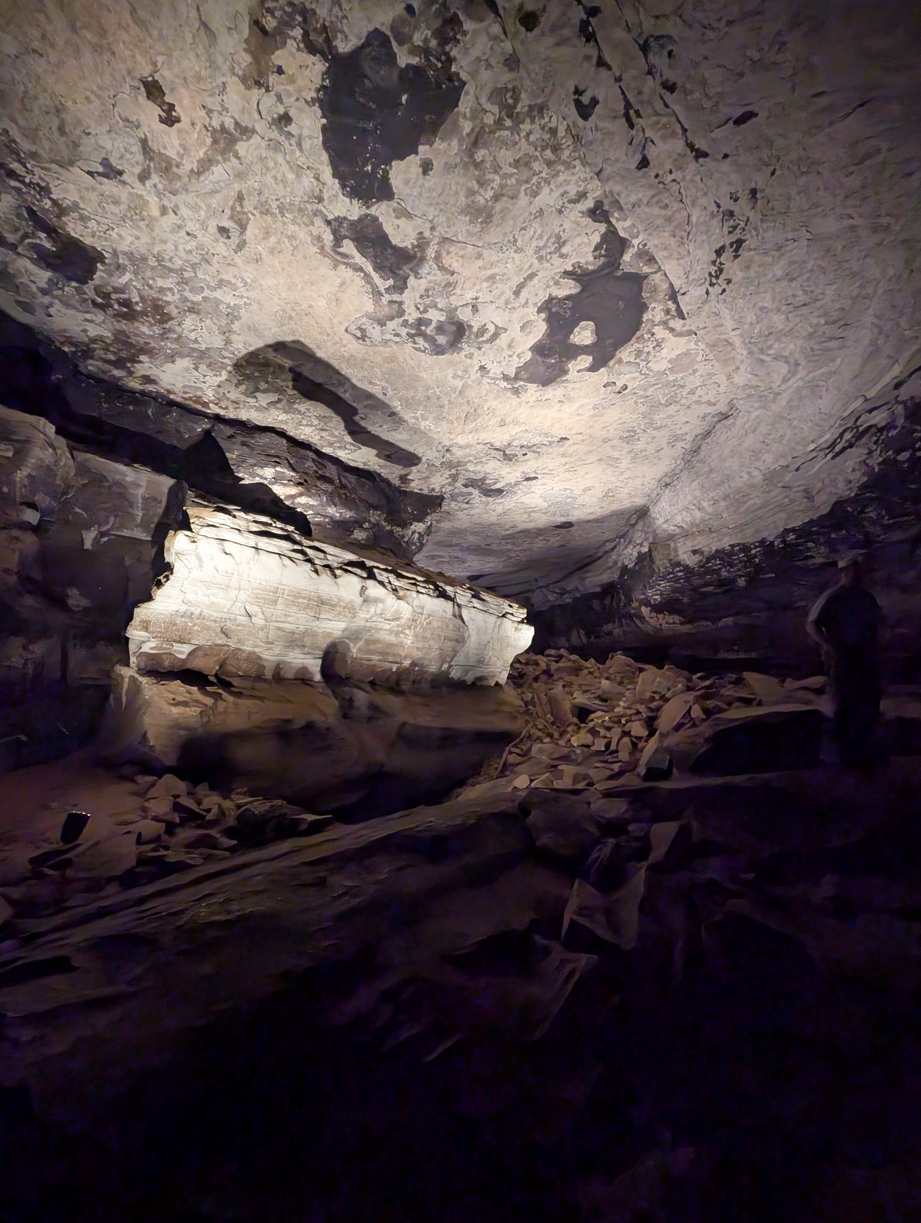
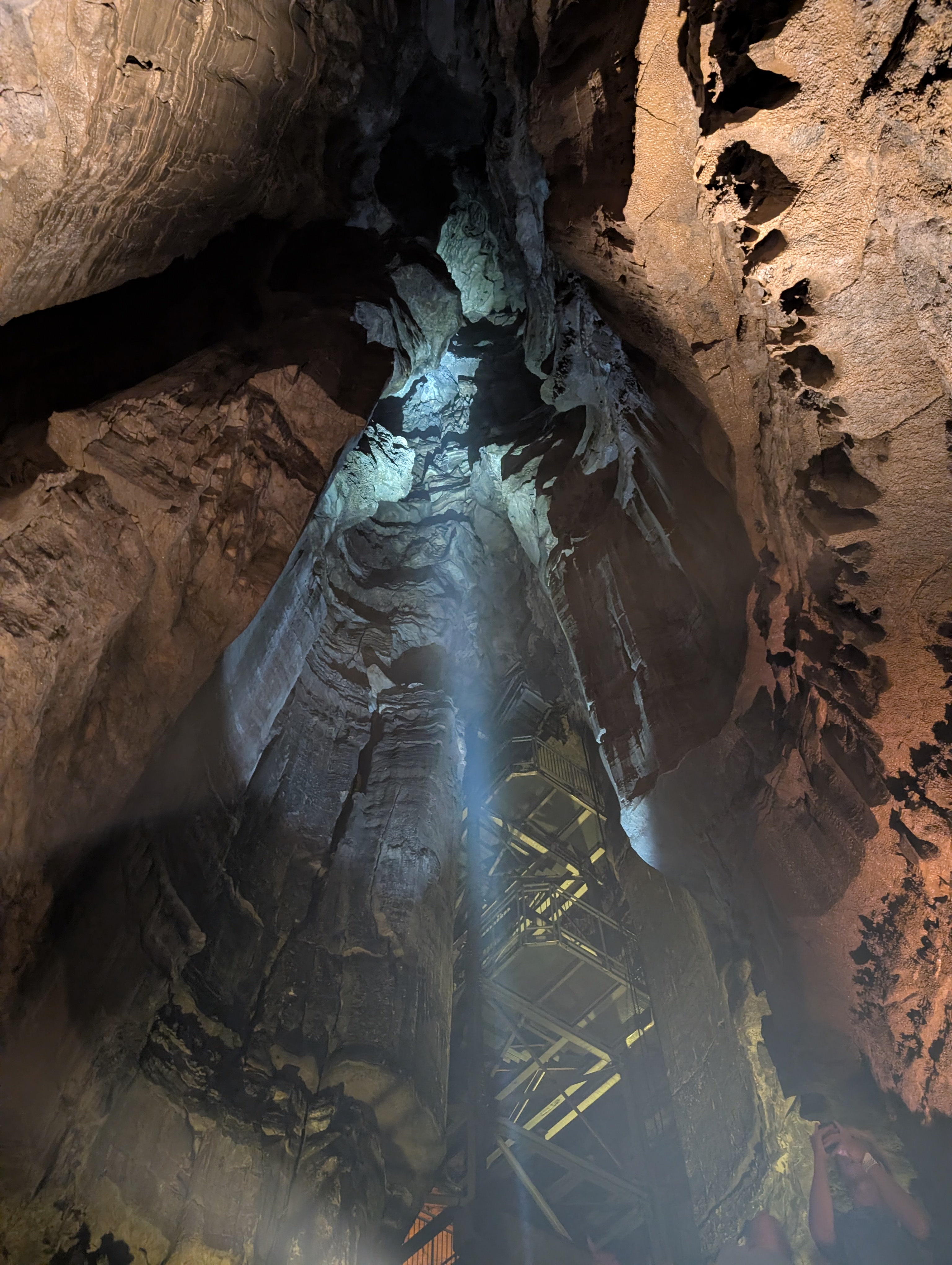
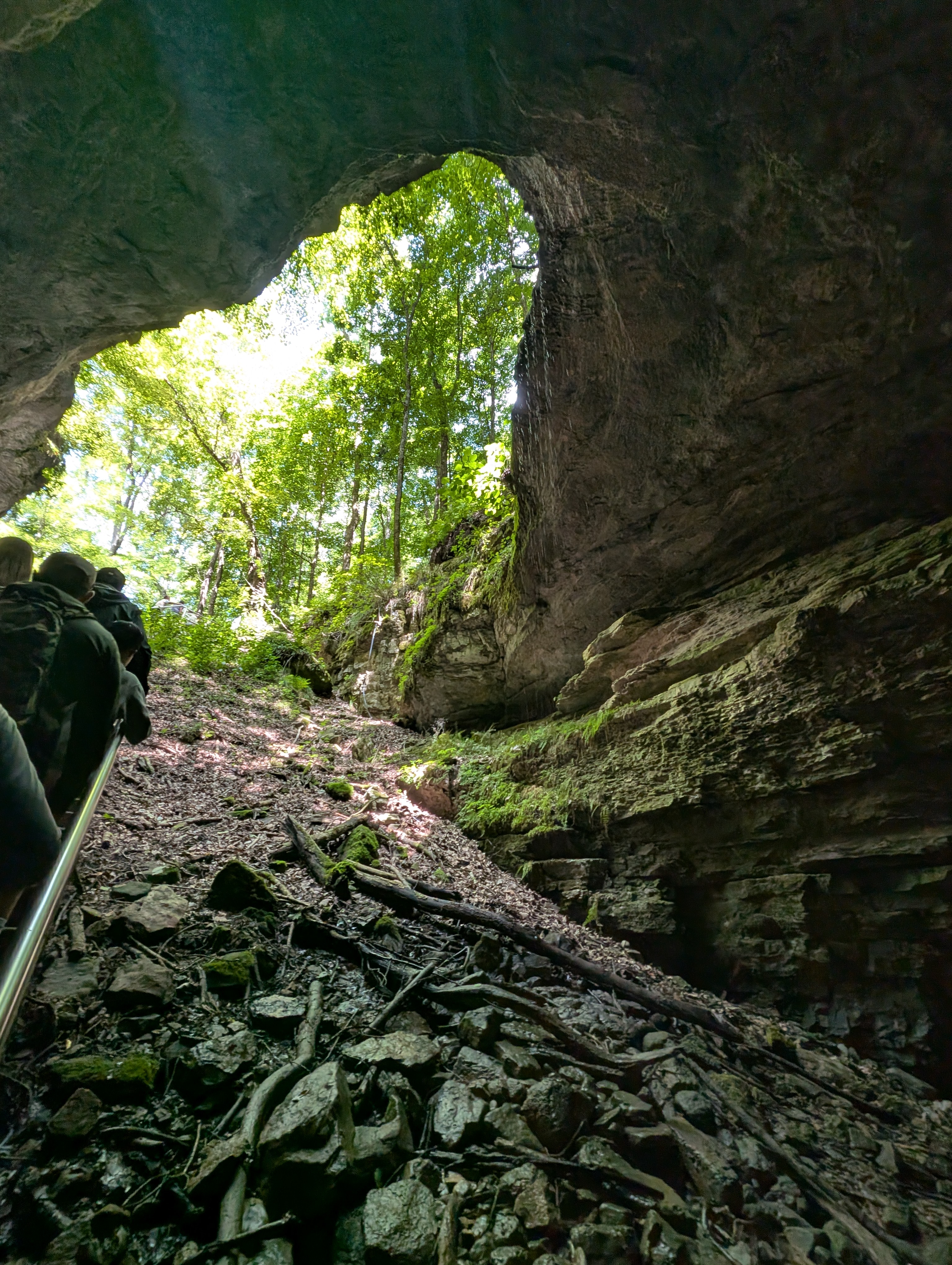
    I spent two days at Mammoth Cave National Park in Kentucky. Like Mesa Verda, you mainly see this park through tours. There are a few hikes above ground that you can do on your own, but I didn’t do any of those. Mammoth Cave is the largest known cave in the world. 426 miles of the cave have been mapped, but researchers think that might only be half of the cave. It’s pretty cool to think that this cave, like the Grand Canyon, was forged by a river.

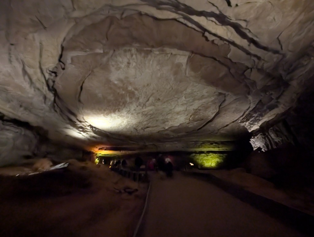
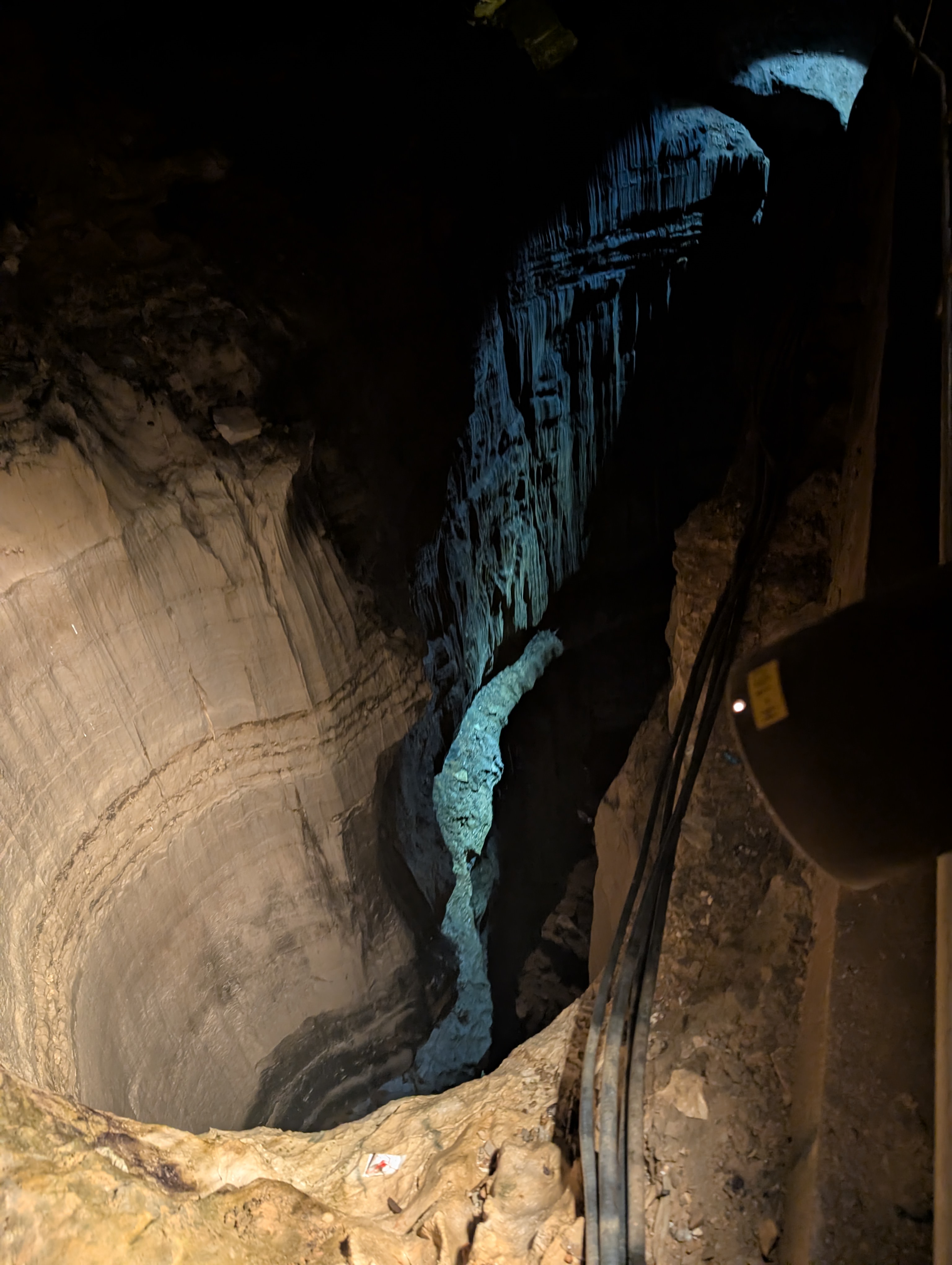
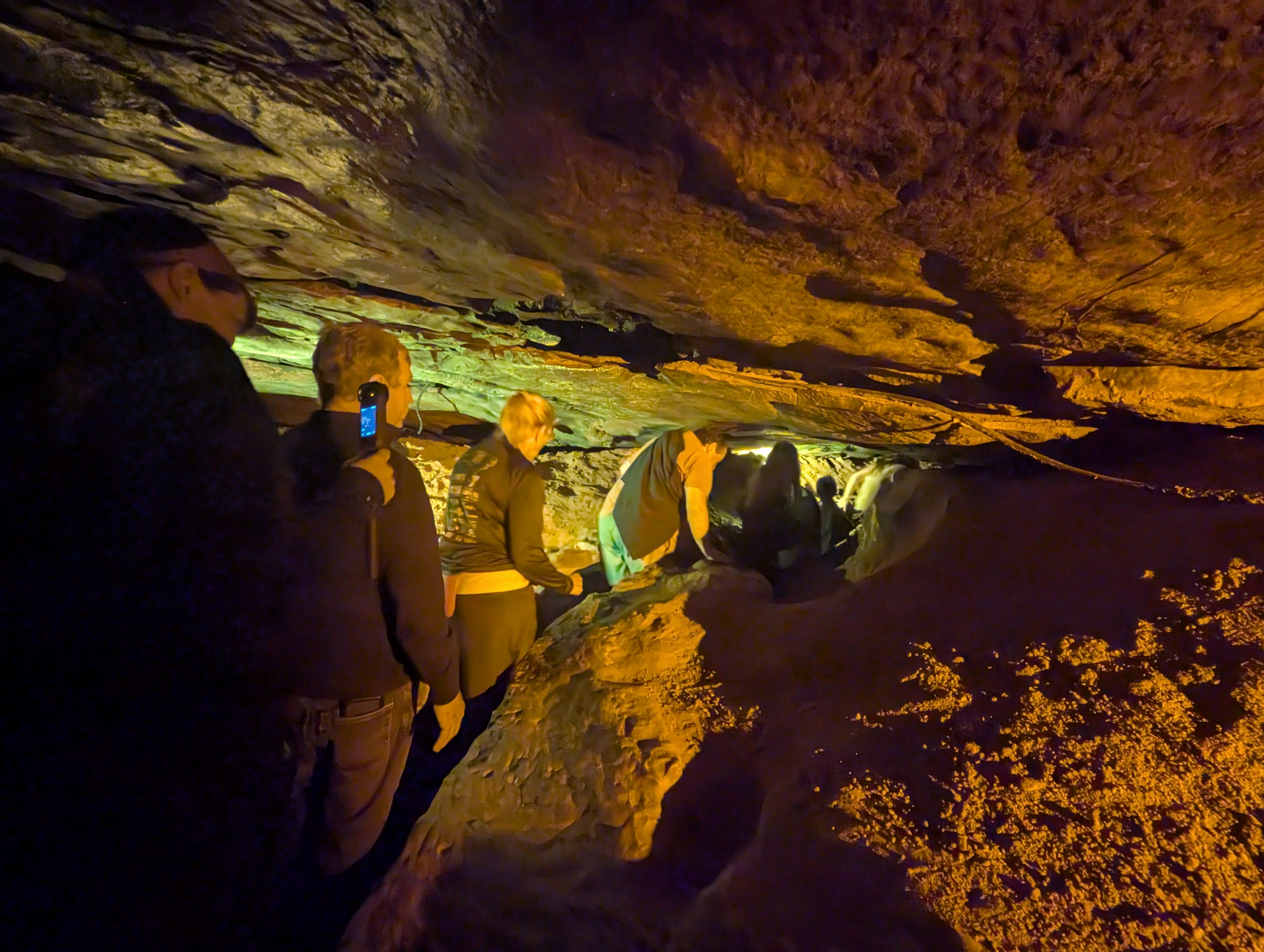
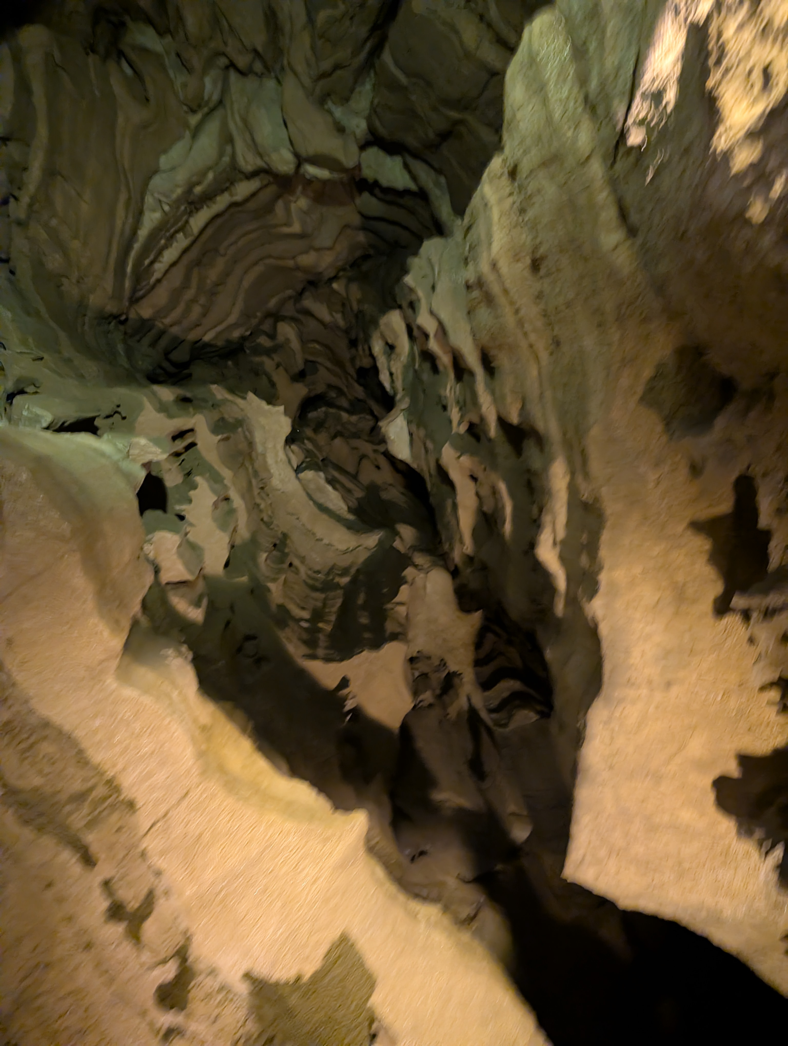
    On Friday, I did the Historic Tour and the Domes and Dripstones Tour. As the name suggests, the Historic Tour takes you through the historic section of the cave, the part that was first discovered and has been used for many purposes for a long time. It covers about 2 miles. As opposed to all the other caves I’ve been to, this section of Mammoth Cave is dry. There is no dripping water and there are no stalactites or stalagmites. A lot of this section just looks like a subway tunnel, but as you go a little deeper, you see some rock formations and Mammoth Dome, a massive vertical shaft. There is one part, called Fat Man’s Misery, where you walk through a narrow, winding path that has a low ceiling at times. That was fun to get through.
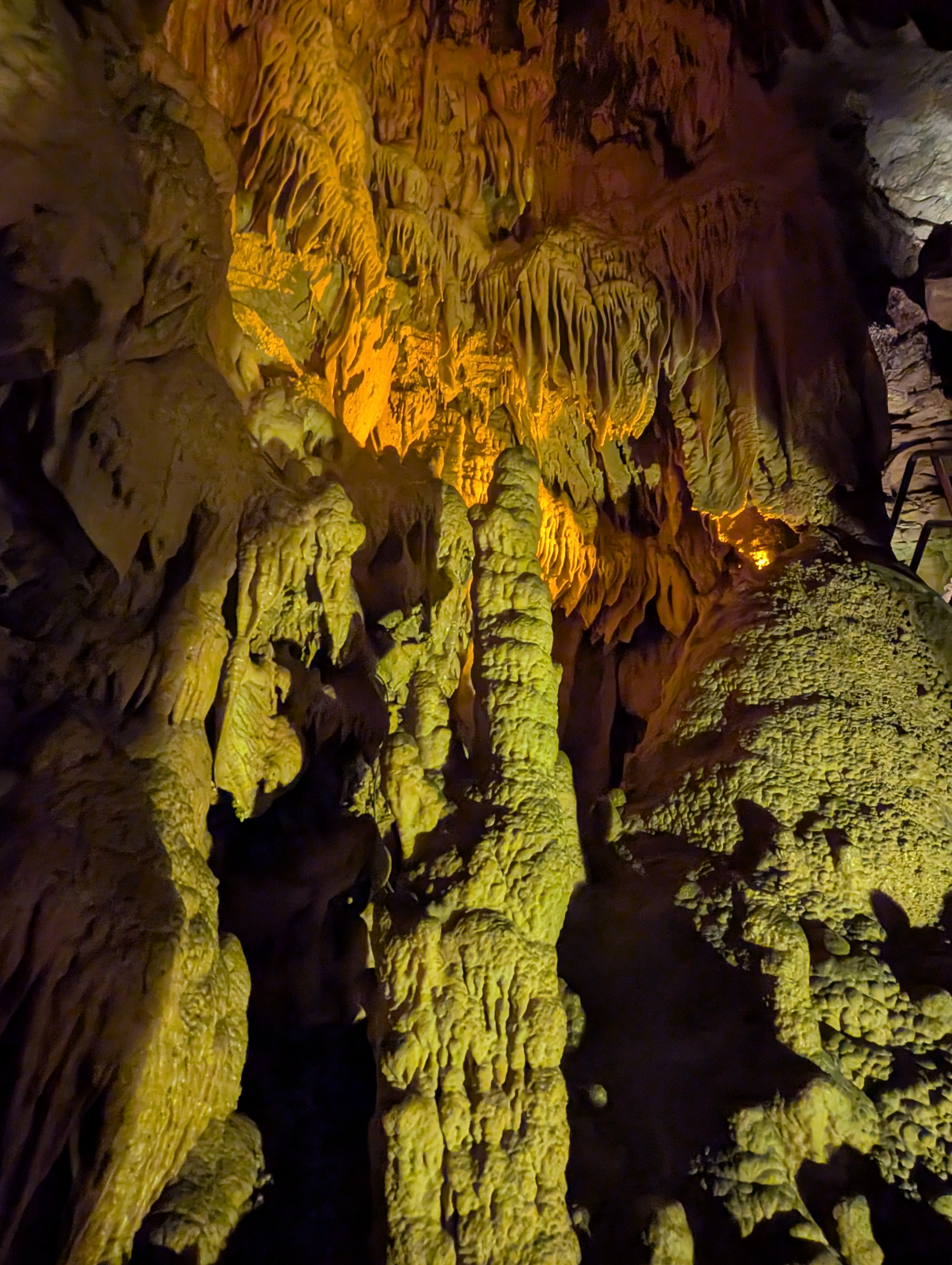
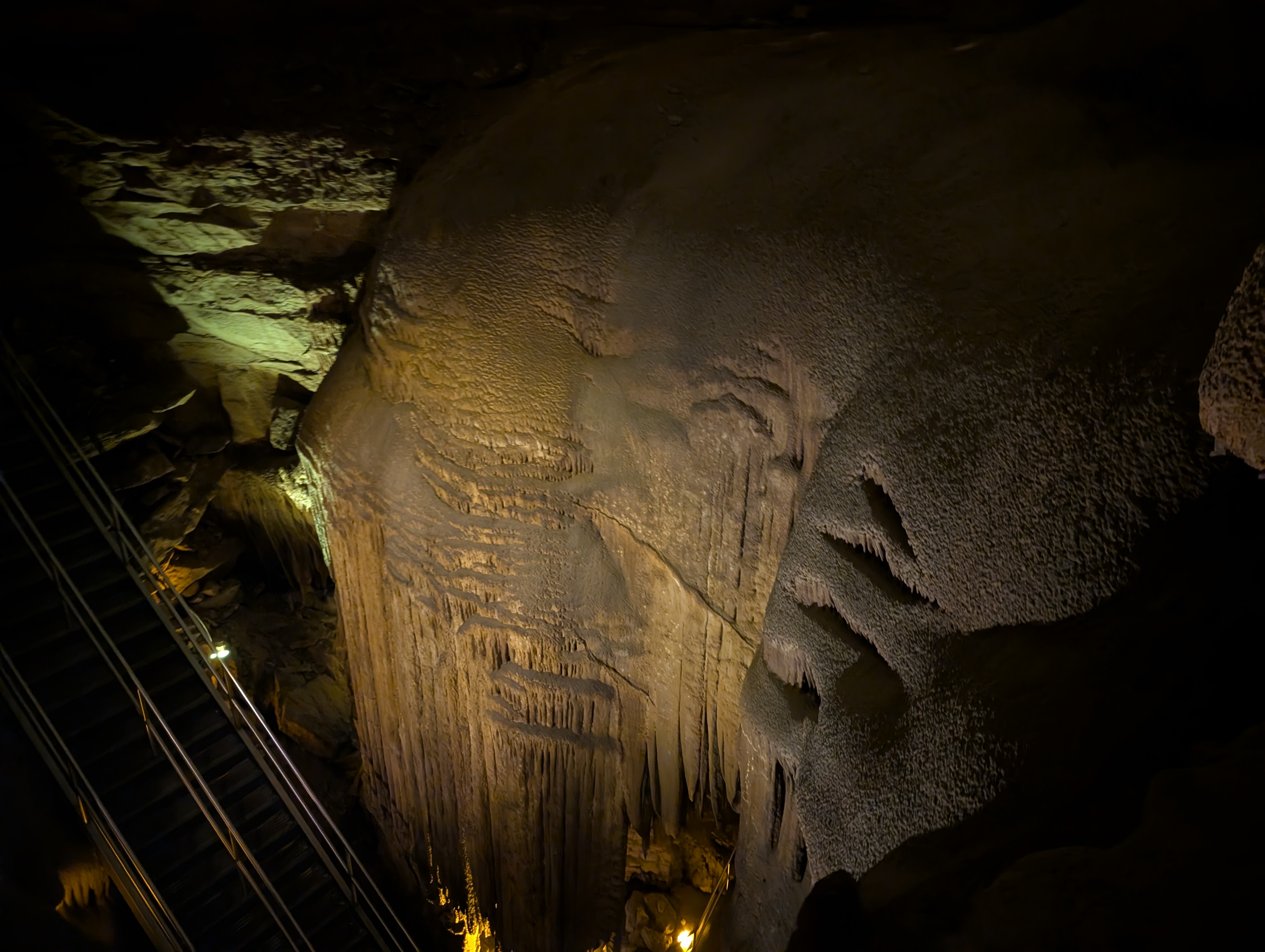
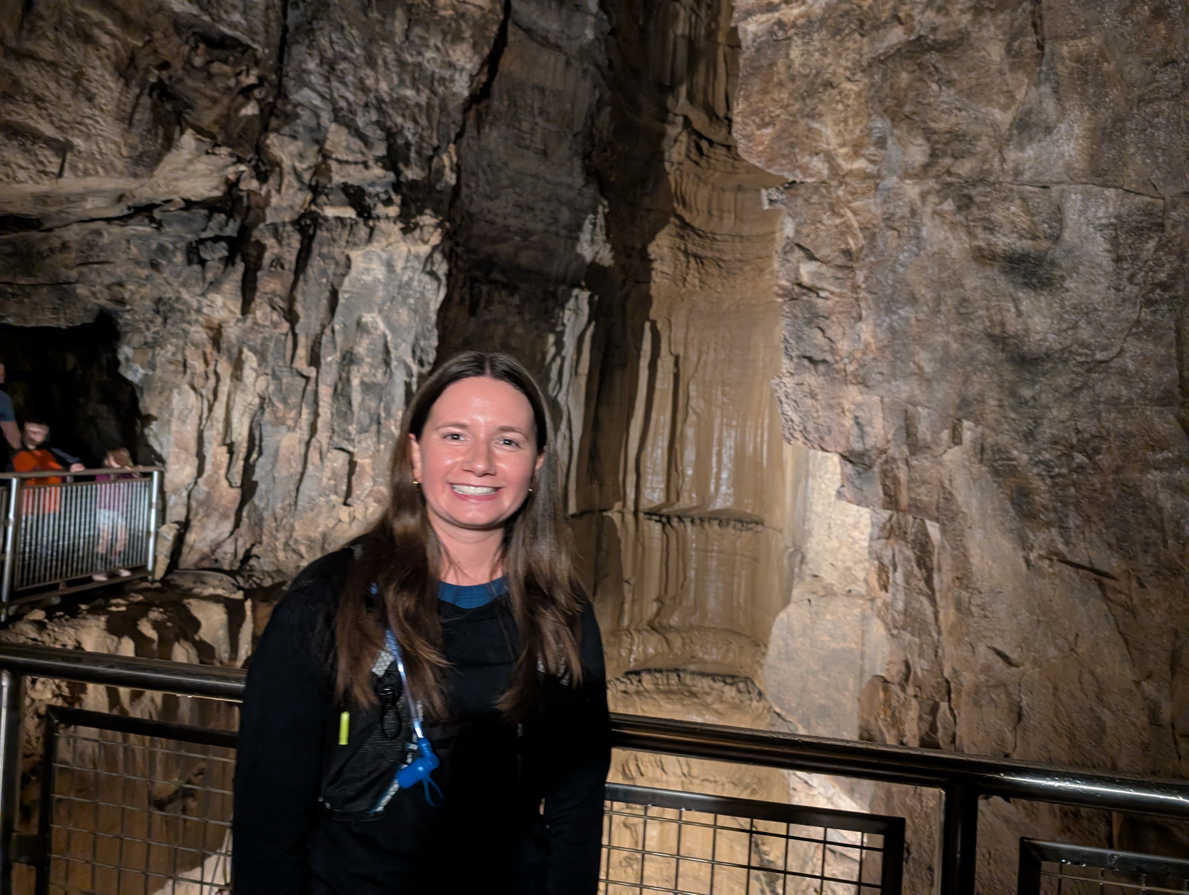
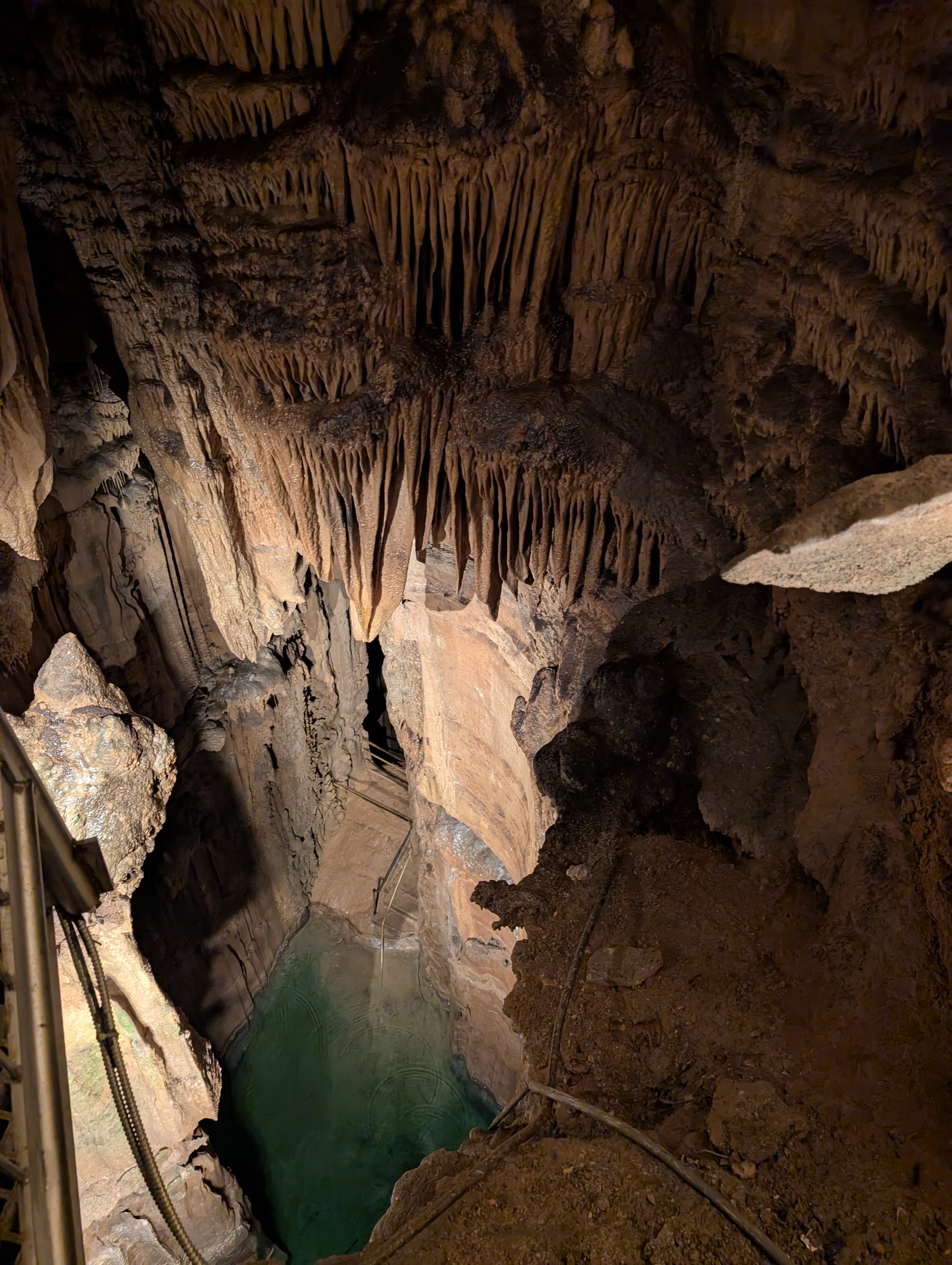
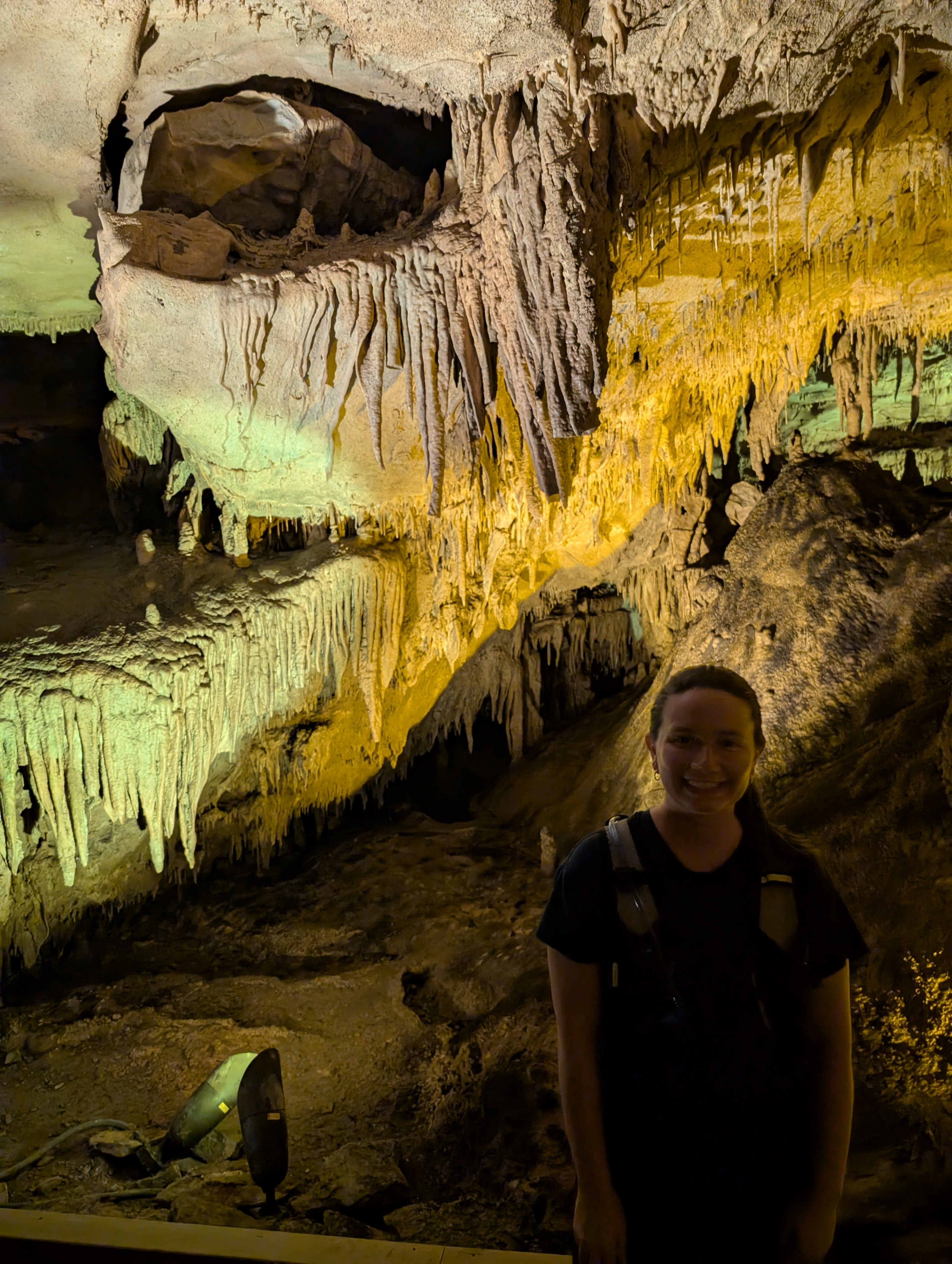
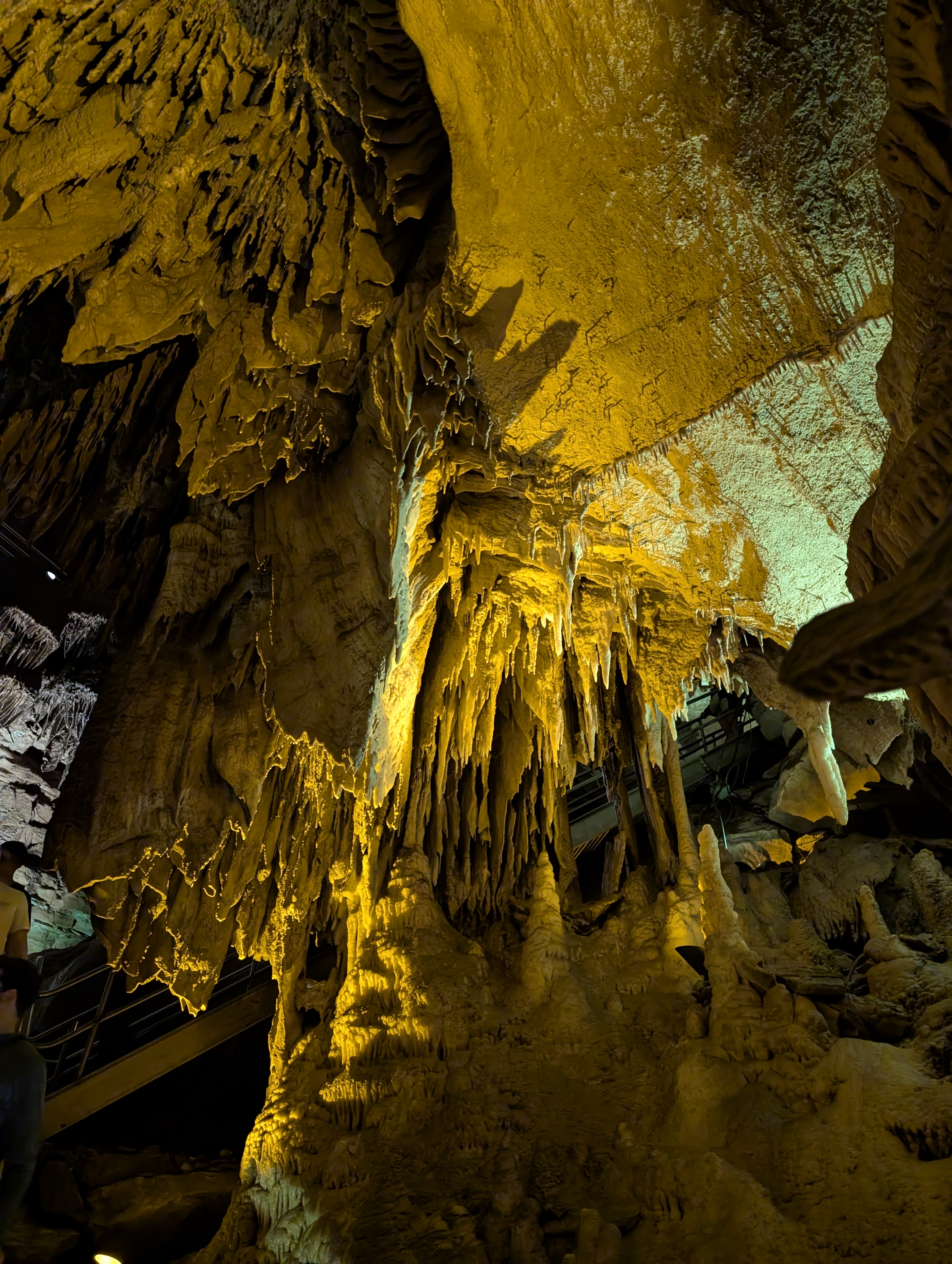
    The Domes and Dripstones Tour starts at a different entrance to the cave and covers about 0.75 miles. As opposed to the historic part of the cave, this part is wetter. You might get “cave kisses”, drops of water falling on you, and there are stalactites and stalagmites. You start out the tour by descending 300 steps. I was amazed by how deep and tall the cave can be in some sections. Both tours go through parts of the cave that have electric lighting, but in both, the guides turned off the lights at one point so we could experience the cave in its natural form. It was pitch black. I couldn’t see my hand in front of my face, even when it was touching my nose. And it was completely quiet, which was both eerie and wonderful. While the lights were off, the guide told us that that’s what the entire cave looks like, so we can say that we’ve seen all 426 miles.

    I had booked the Violet City Lantern Tour for Saturday. It’s a 3 mi tour where you use lanterns as illumination and is supposedly the best tour. I was excited for it, but I ended up canceling my reservation. I had a headache all the previous night and had it on and off during the day on Saturday and I was exhausted. I looked at a few videos of the tour of YouTube and decided that it didn’t look exciting enough to make it worth going on given my current condition.

    My headache continued through the next night and I had a mild headache all day today while driving to New River Gorge National Park in West Virginia. I’ve also had an itchy rash on my neck the past few days, which is weird. I get headaches every once in a while, but I don’t get rashes unless I’ve been petting bunnies or cats, which I haven’t been doing. I took all this to mean that something is off in my body, so I’ve been trying to be nicer to my gut to see what happens. I haven’t been itchy in the last few hours and my headache is almost gone, so it seems to be working. Hopefully I’ll be all good tomorrow morning, but I’m going on a hike with or without a headache.

  • Cotopaxi National Park, Cotopaxi, Ecuador

    Cotopaxi National Park, Cotopaxi, Ecuador

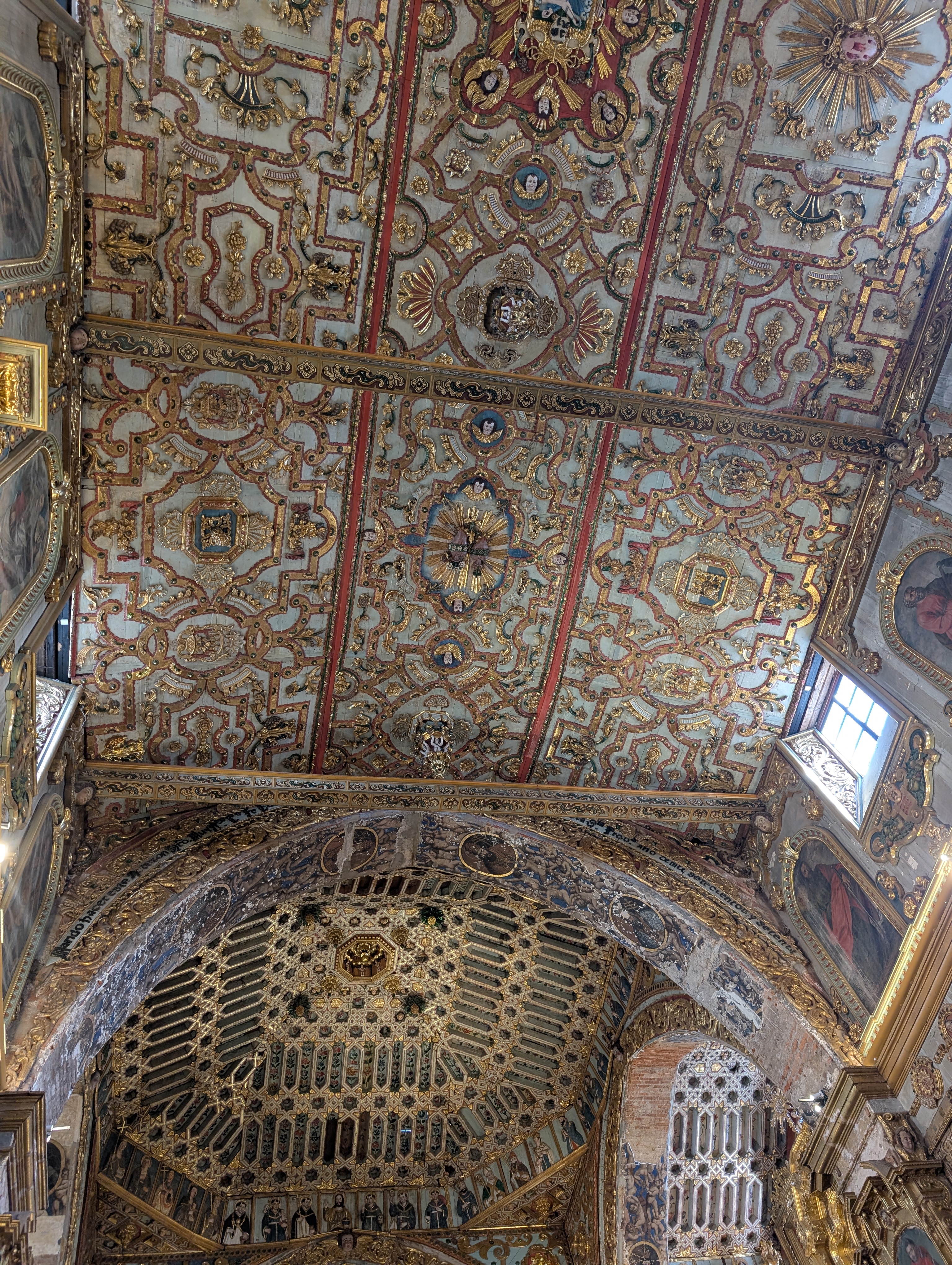
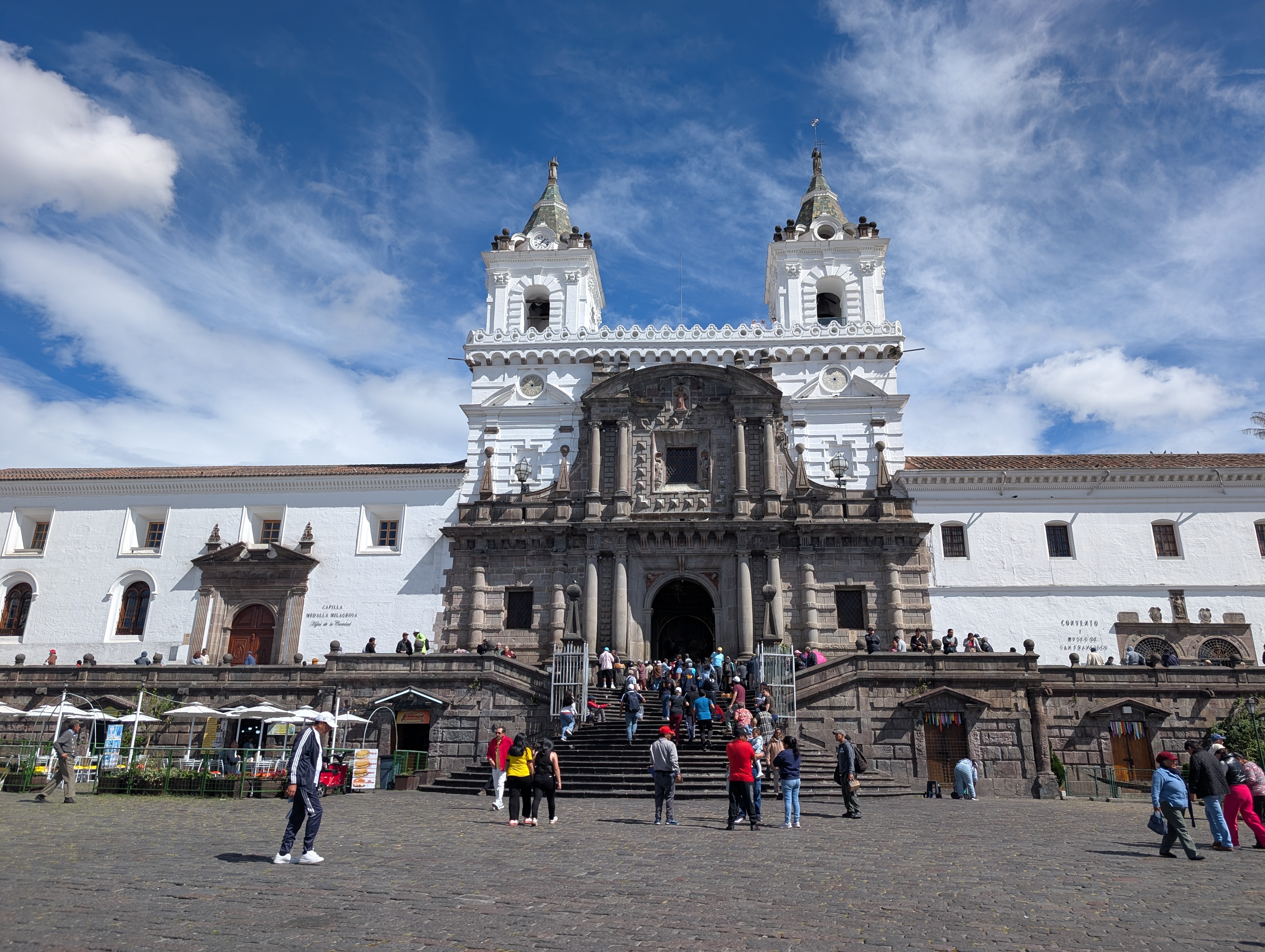
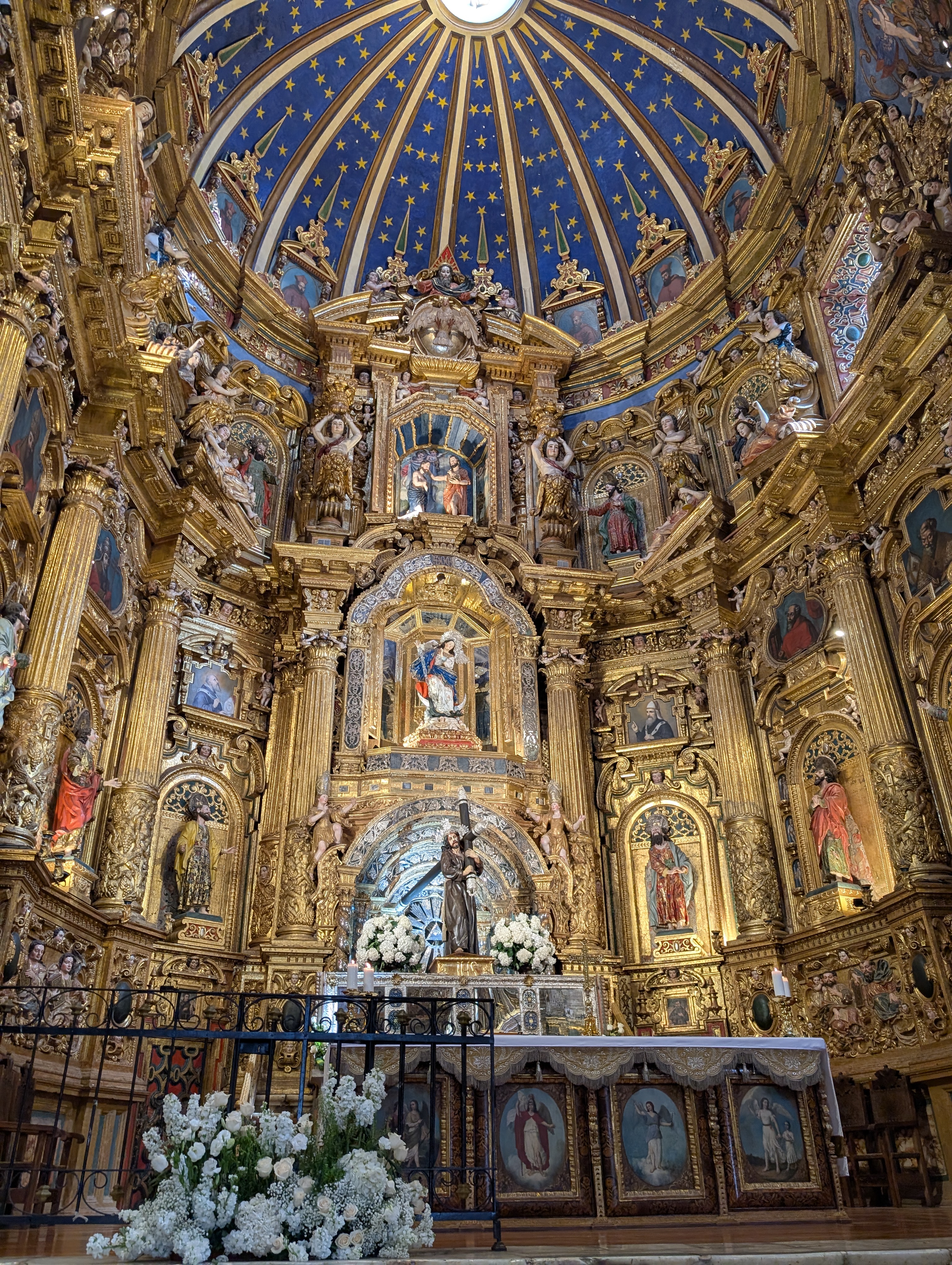
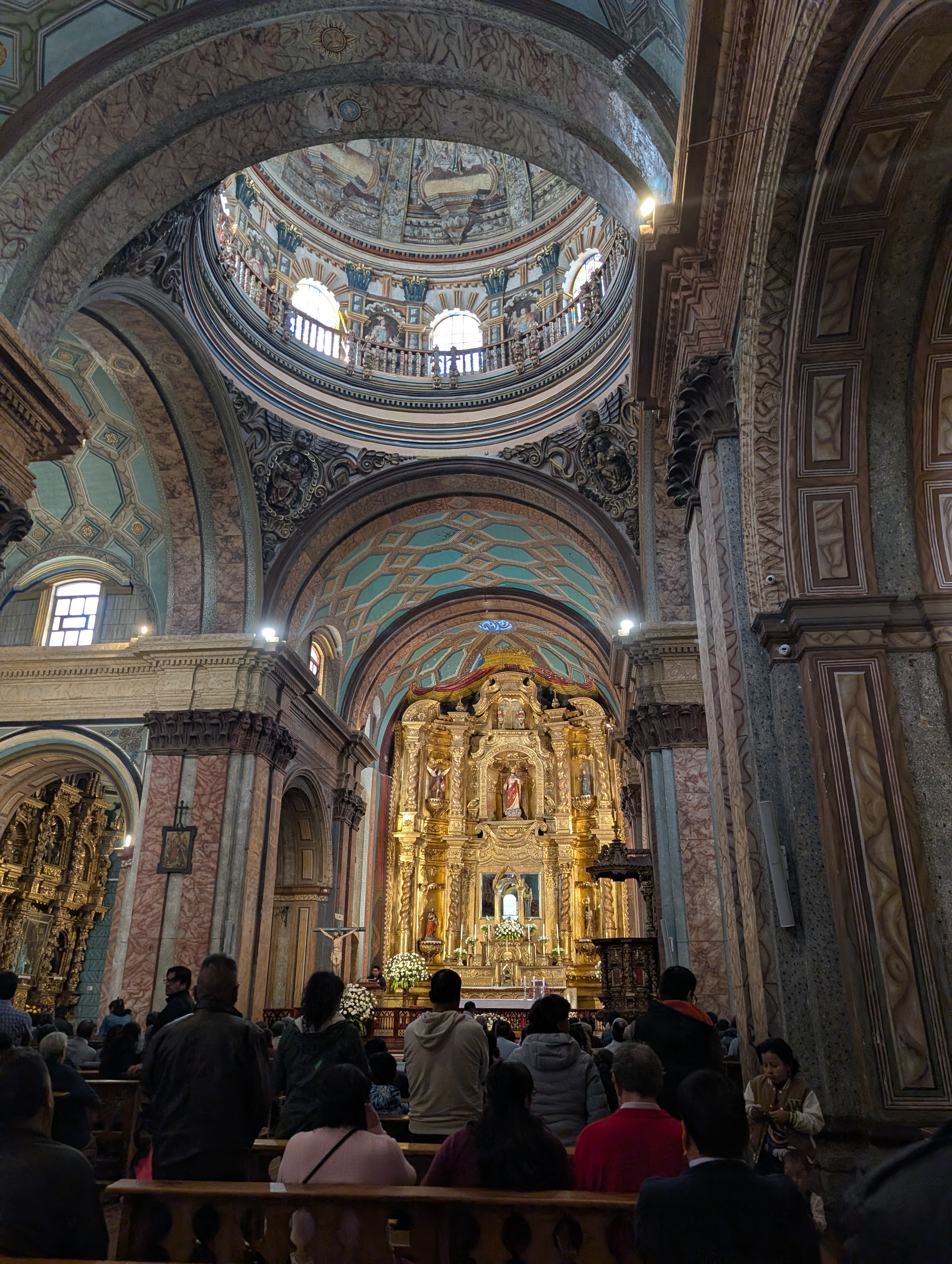
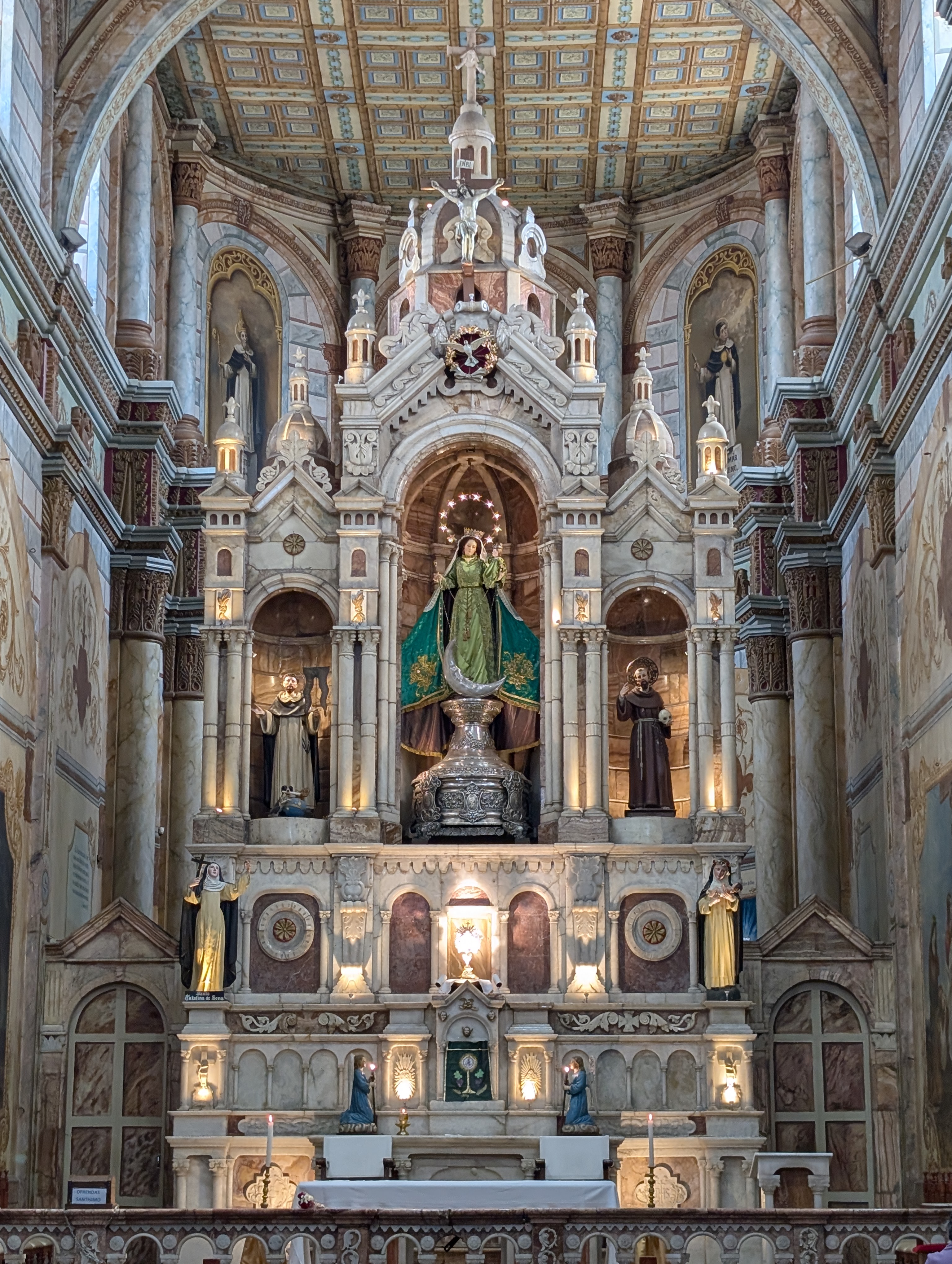
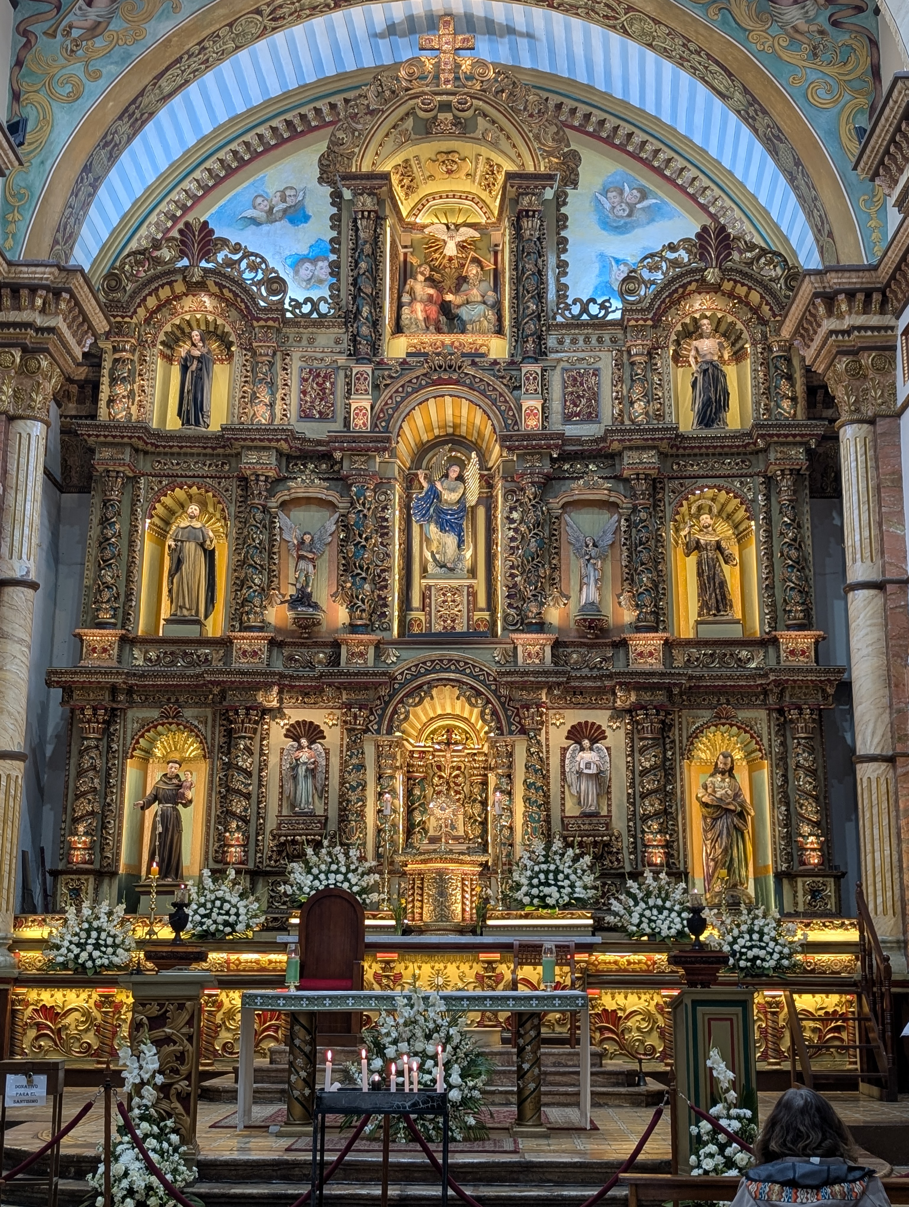
    On Sunday morning, we went to Quito’s historic center for Mass at the Basílica de San Francisco. In the US, I’ve often walked into a church with a friend, they’ve mentioned how pretty the church is, and my response has always been “meh, it’s fine”. Churches in Ecuador, especially Quito, are the reason why. If you grew up going to churches that are entirely covered in gold leaf, you’d also think the prettiest churches in the US are just fine. Though the basilica where my friend got married in Milwaukee was actually really beautiful, so amazing churches do exist in the US.

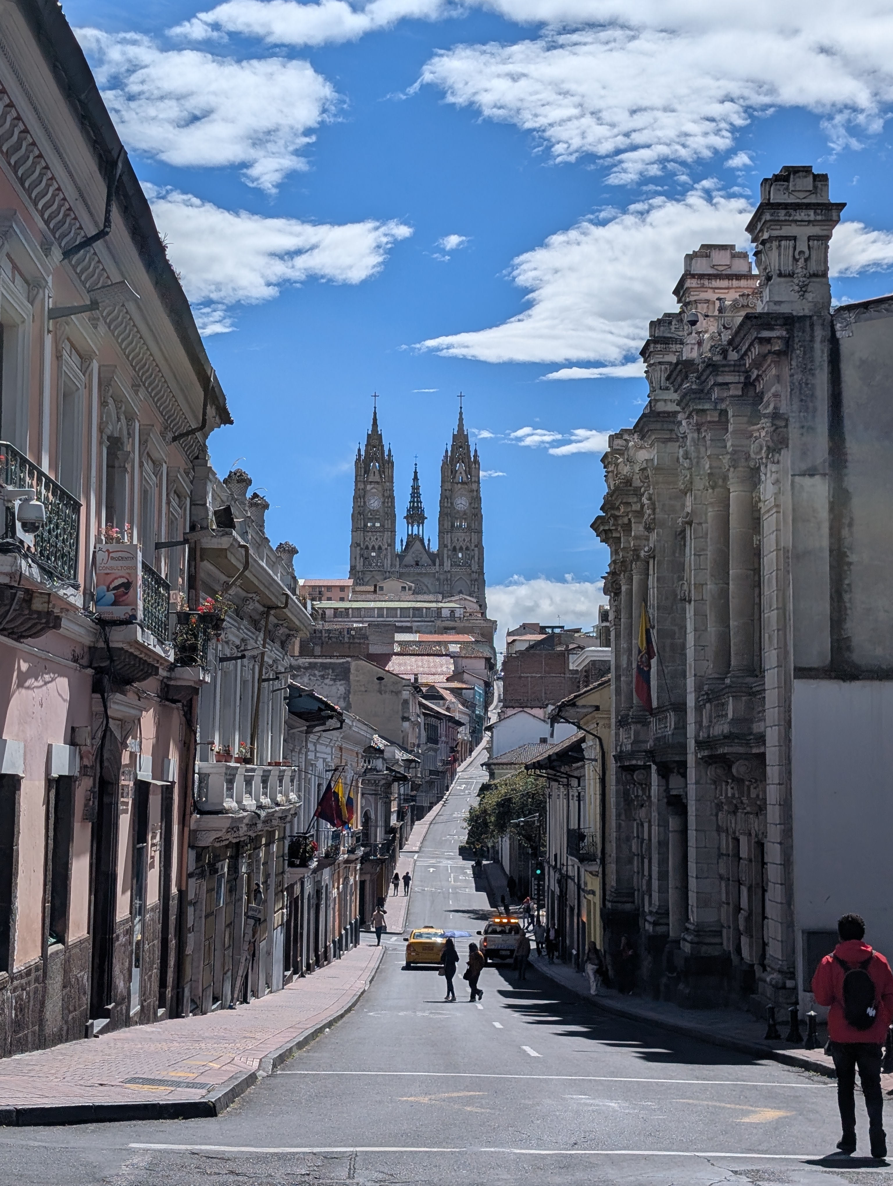
    The San Francisco church isn’t even the prettiest church in Quito. We tried to get into La Compñía de Jesús, the church that’s considered the prettiest in the city, but they weren’t allowing tourists to enter until 12:30 pm, when we’d already be gone. So we walked around the historic center a little more, saw the cathedral, and saw the Basilica del Voto Nacional, a neo-gothic basilica, from afar. Then we went back to our Airbnb to pack up and drive 2 hours to Cotopaxi National Park.

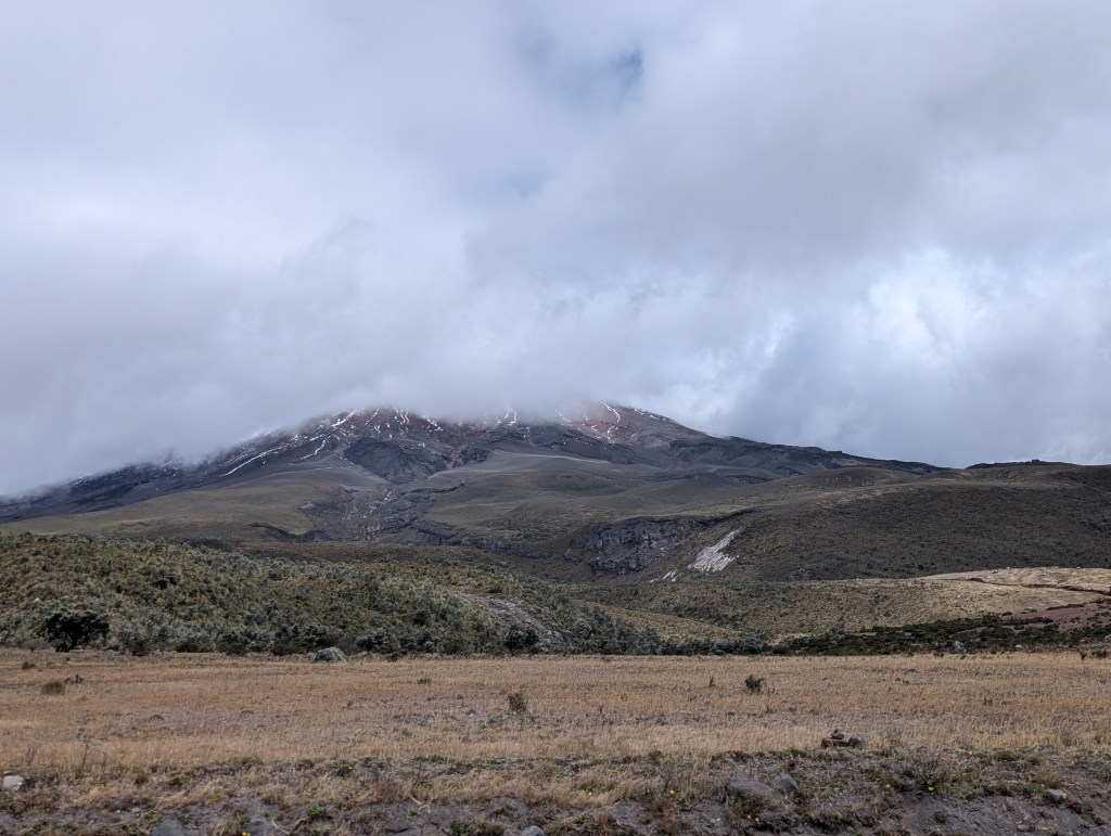
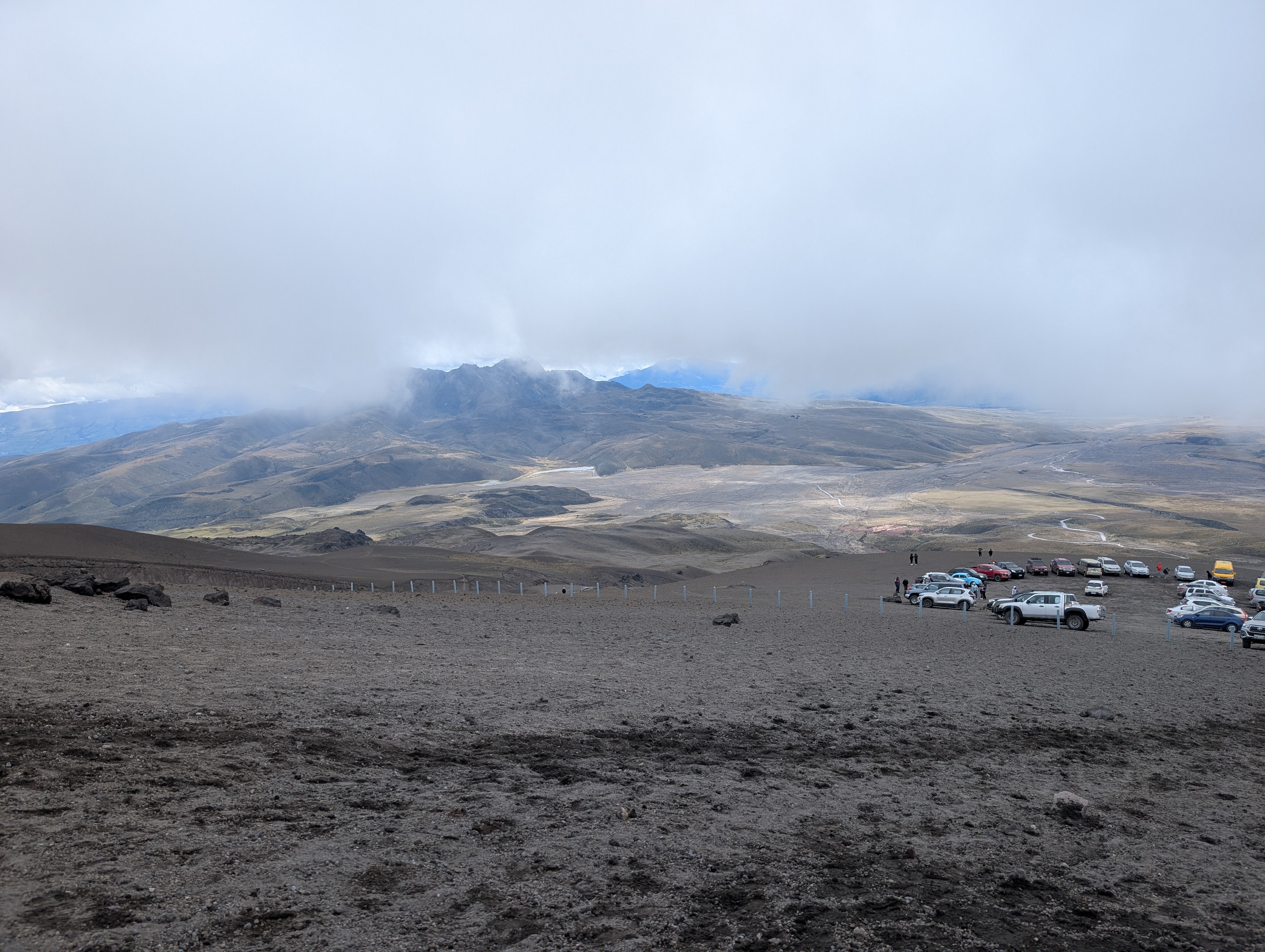
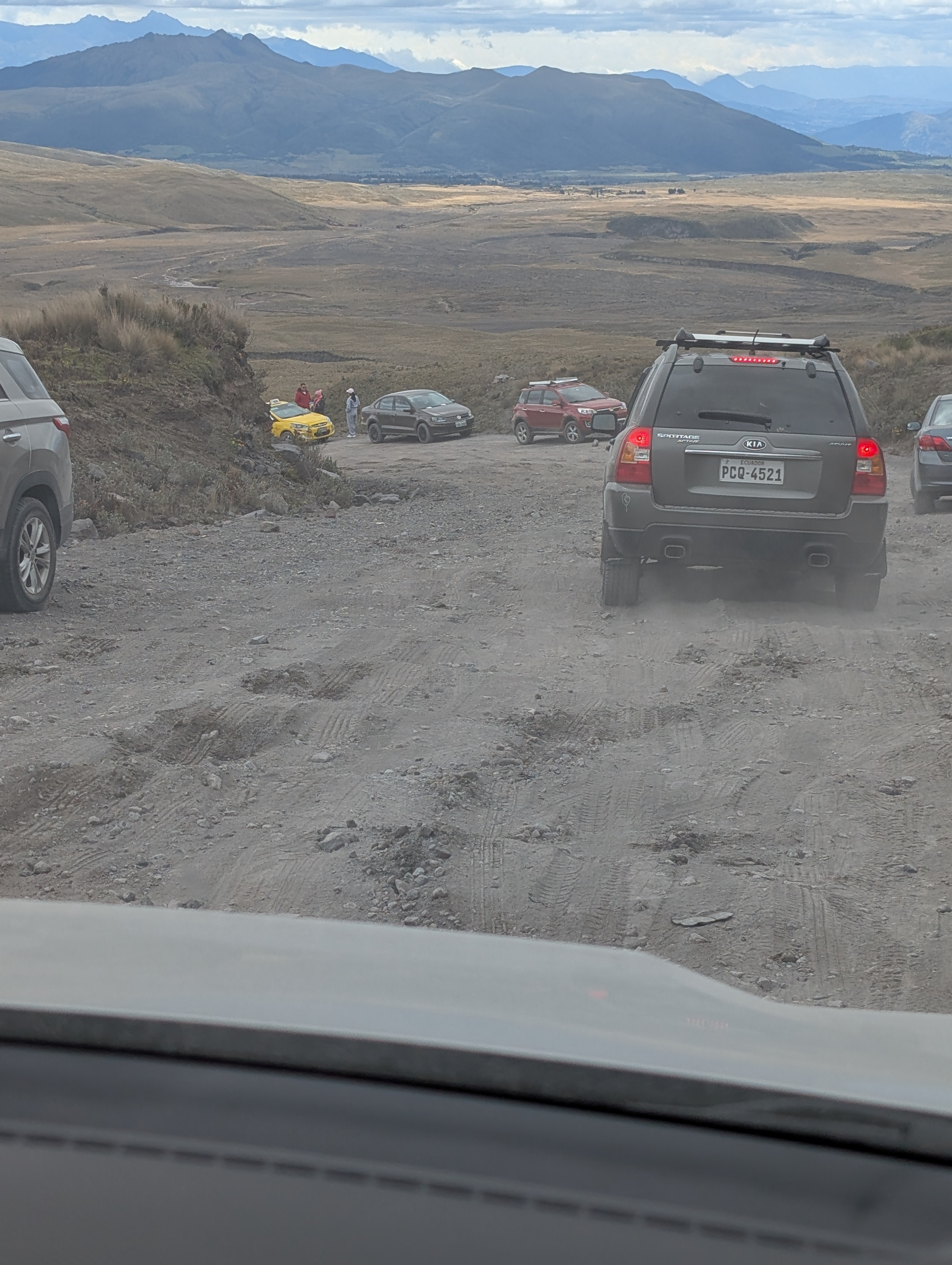
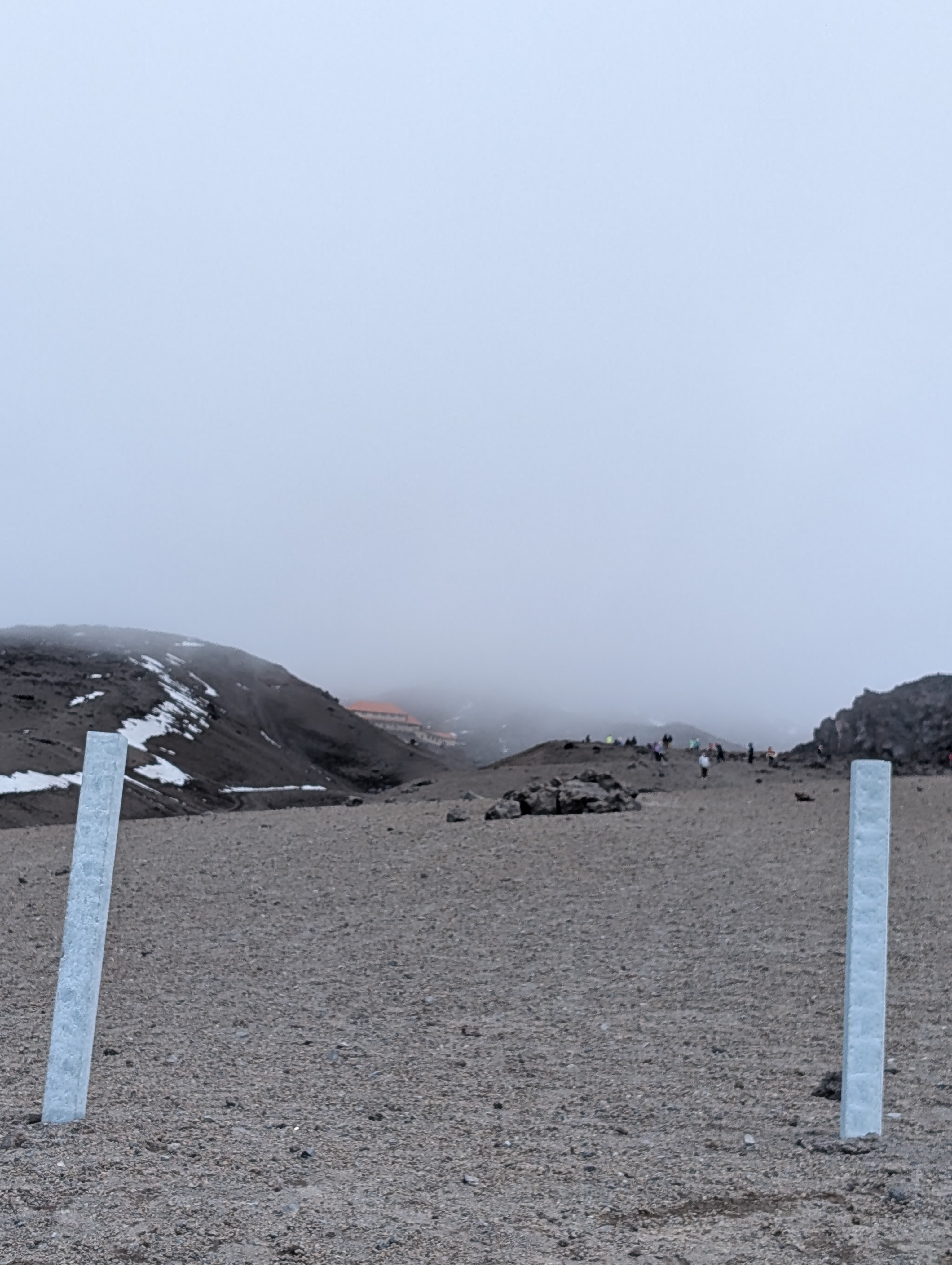
    Unfortunately, the Cotopaxi volcano was covered in clouds, so we weren’t able to see it, but we still had quite an adventure at the park. The visitor center of the park is at 12,500 ft. We drove past it with the intention of hiking up to the José Rivas Refuge, which is at 15,900 ft. Most of the park roads are unpaved, and the closer you get to the trailhead, the worse the roads are. There were holes and huge bumps and it was all dirt, so if you didn’t know how to drive through the bumps, your tires would spin and you’d get nowhere. Luckily, I was with Monica, who is an expert at driving in snow. And luckily, the tricks that work in snow also work on dirt roads. She told me to swerve left and right to catch the bumps at an angle. That worked. Our car was very dirty, but we were able to get all the way to the trailhead parking lot when many cars had to turn back.

    Earlier in the week, I was pretty sure I wouldn’t be able to hike the 8 mi around Laguna Cuicocha, but on Sunday, I was convinced that I’d be able to hike the 700 ft from the parking lot up to the refuge. It was only 1.5 mi roundtrip. I can totally do that, right? Wrong. It turns out that at 15,000 ft, I can either breathe or walk. I can’t do both. I’d take 10 steps and then I’d have to stop to catch my breath for a minute or two. I probably could have made it up eventually, after a few hours of taking 10 steps and breaking to breathe. Monica for sure would have been able to. But it was cold and windy and I could barely breathe, so we decided to call it a day and go back to the car after 20 or 30 steps. Even though it was cloudy and we didn’t see the Cotopaxi and we didn’t hike up to the refuge, the adventure was worth it. Monica drove us back down to give me a break. Then she drove us the 3 hours to Mindo, our final destination on our Andes mountains trip.

  • Cuenca, Azuay, Ecuador

    Cuenca, Azuay, Ecuador

    On Tuesday, July 21st, my grandmother, Monica, Becky, and I went to Cuenca. There is a spa there called Piedra de Agua that my grandma discovered recently. Since then, she’s been taking all visitors there. Naturally, I told her she had to take me. Since Becky’s birthday is in July, she got to come along too.

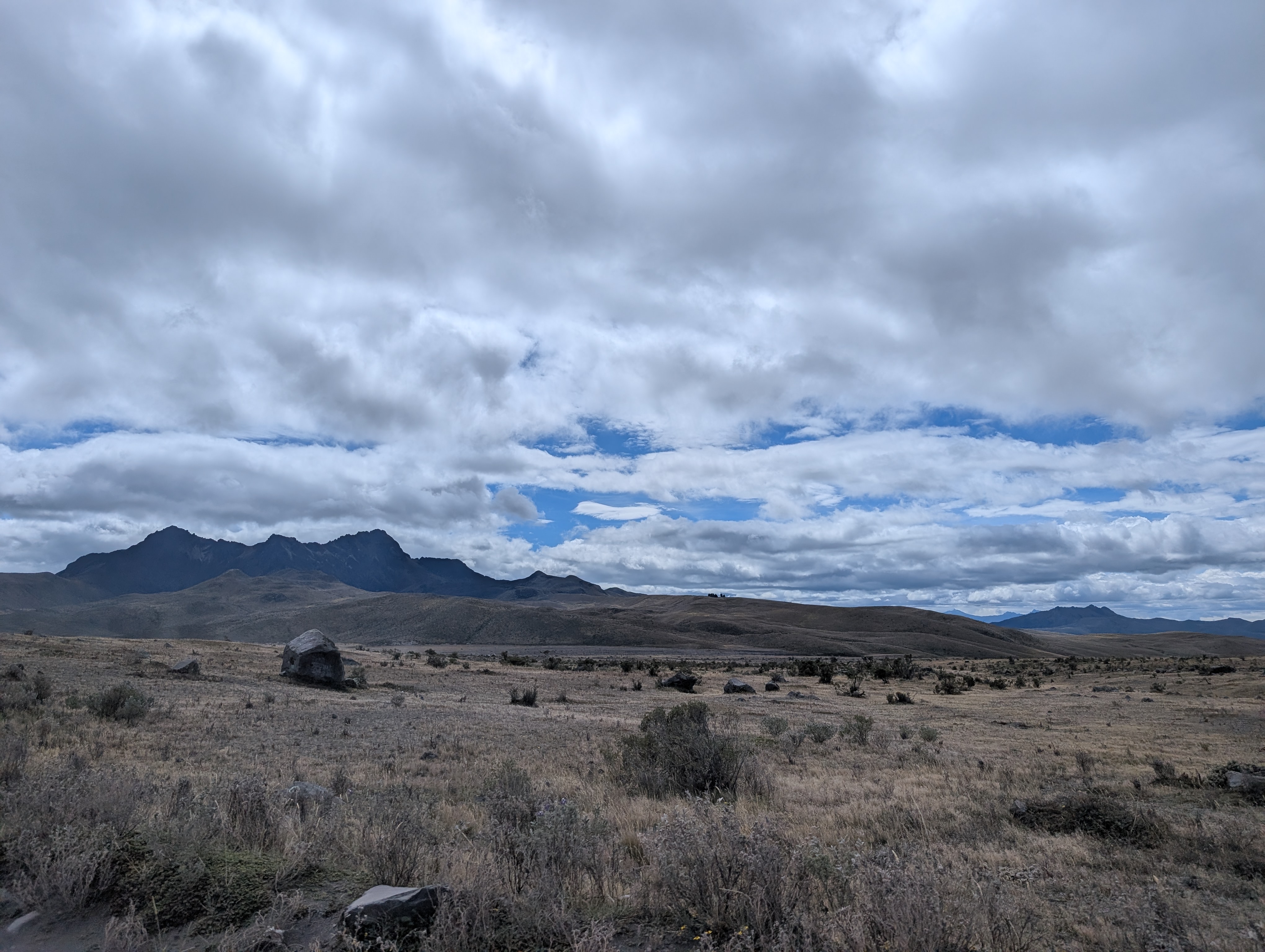
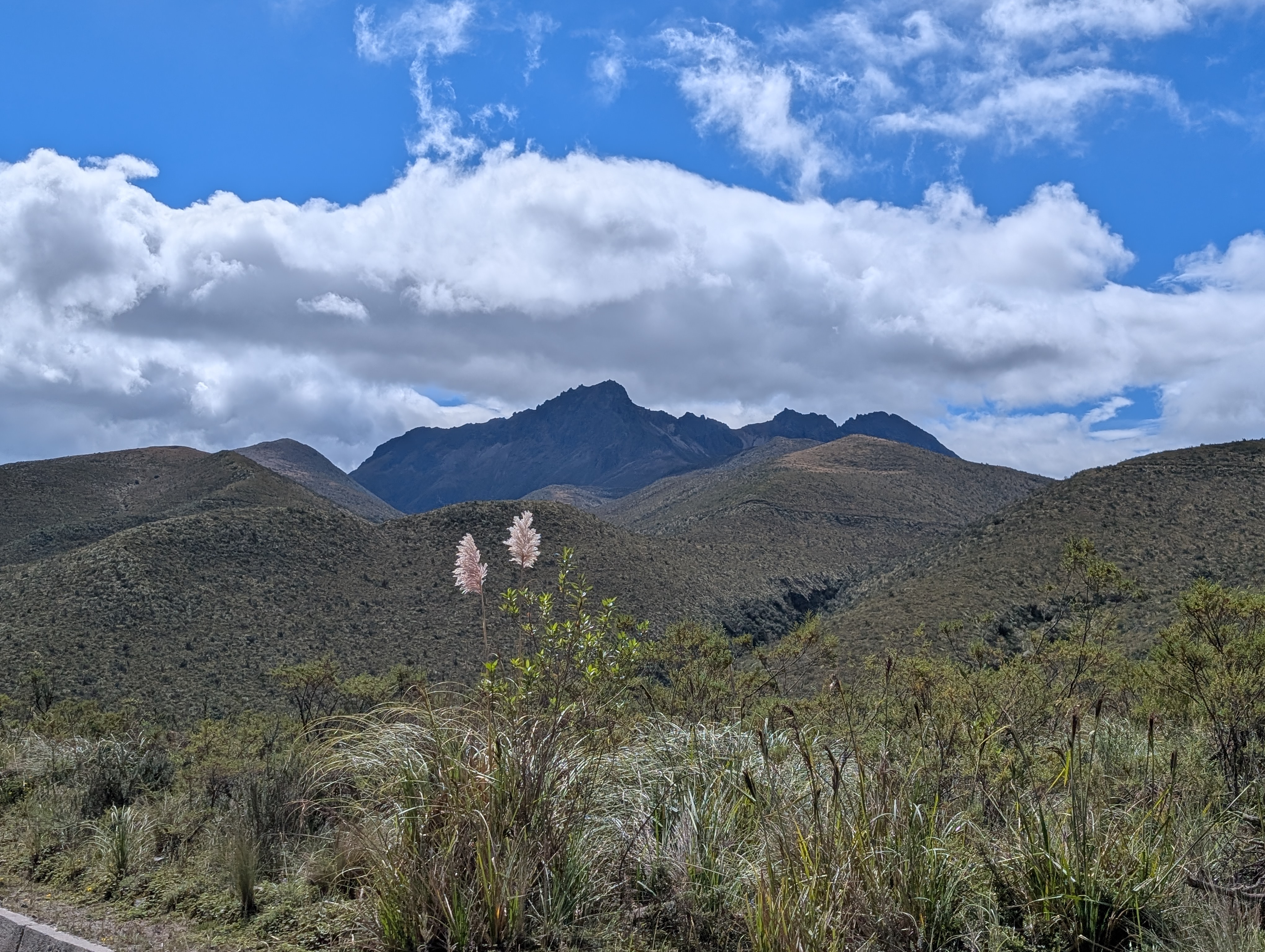
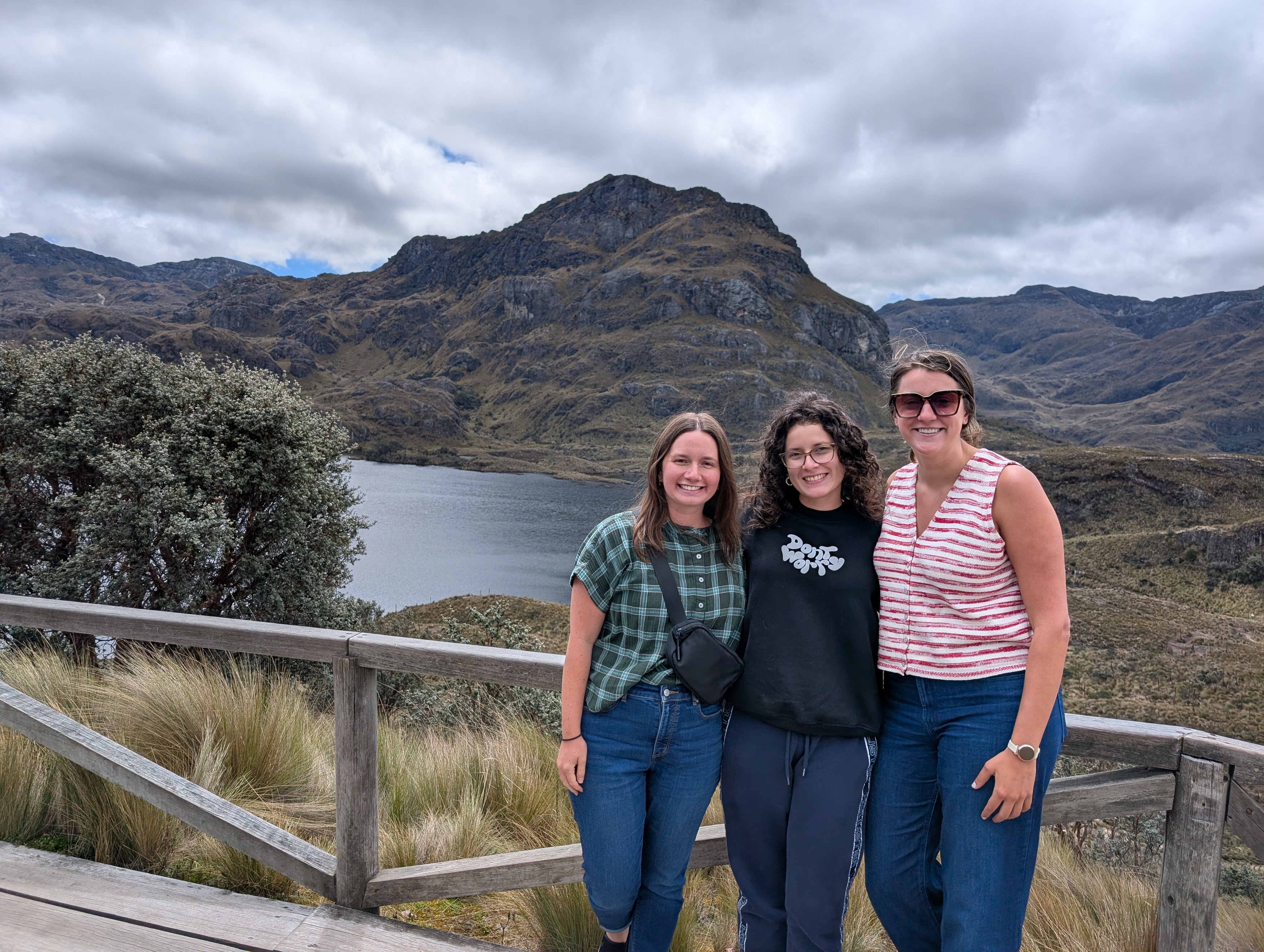
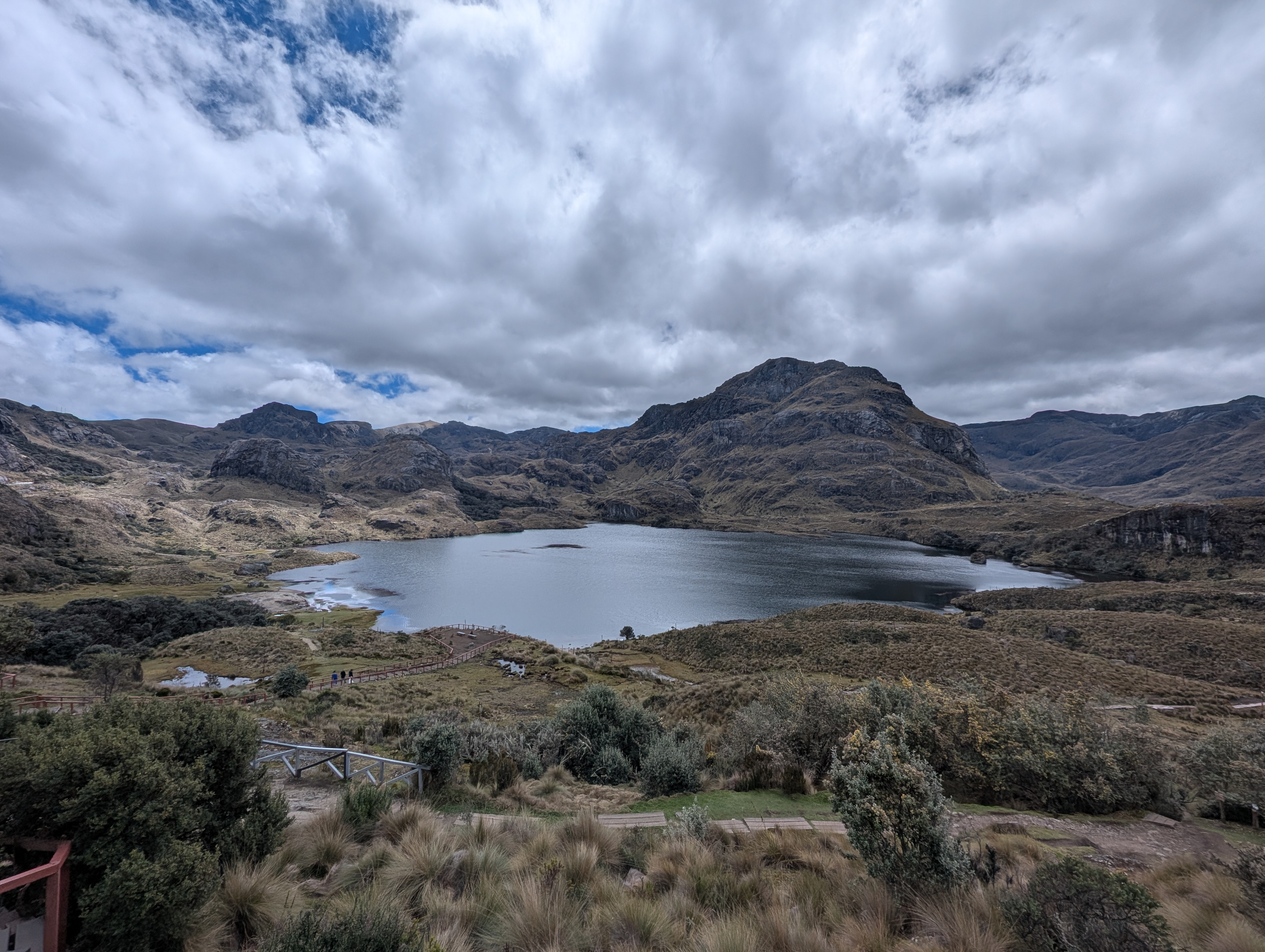
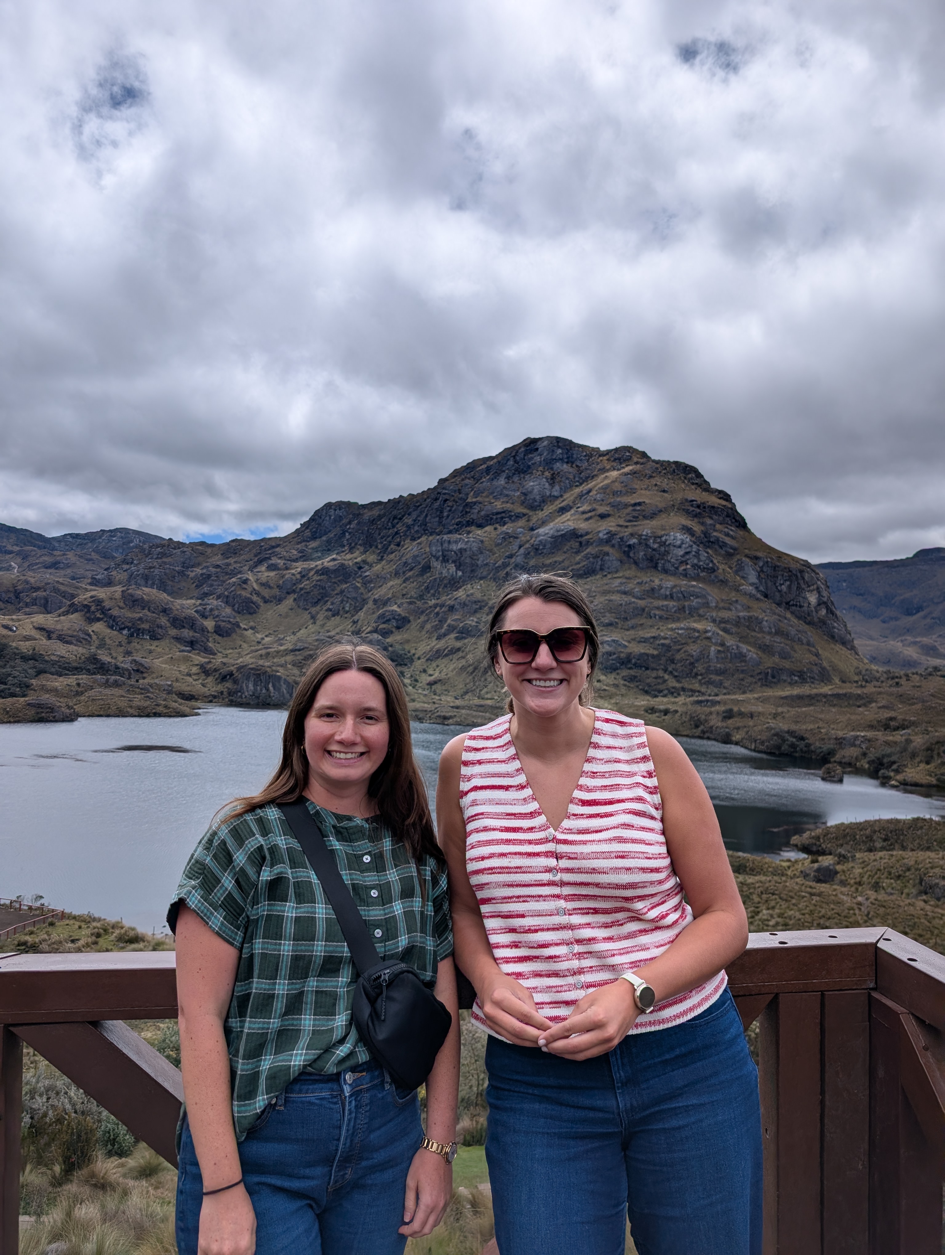
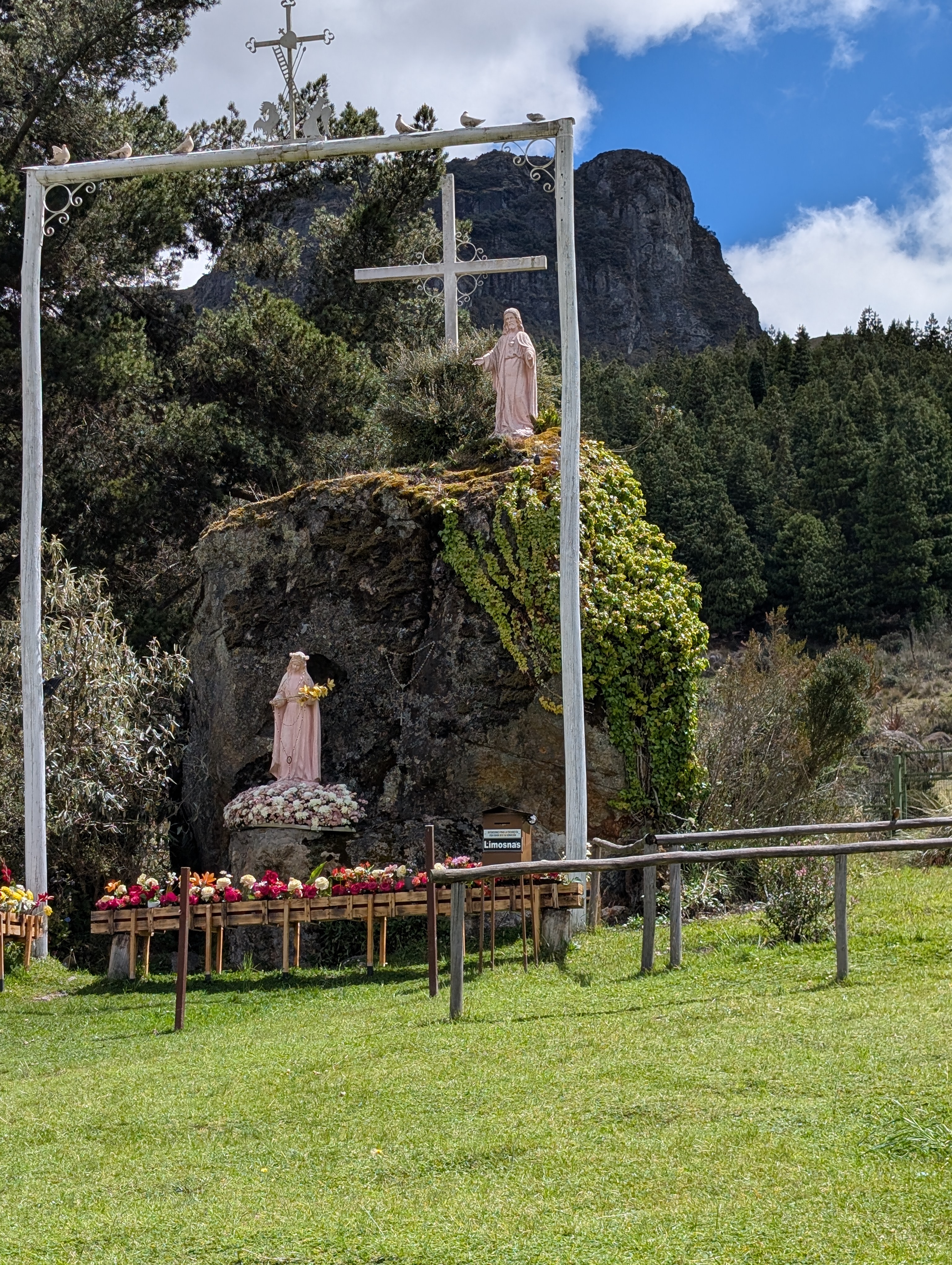
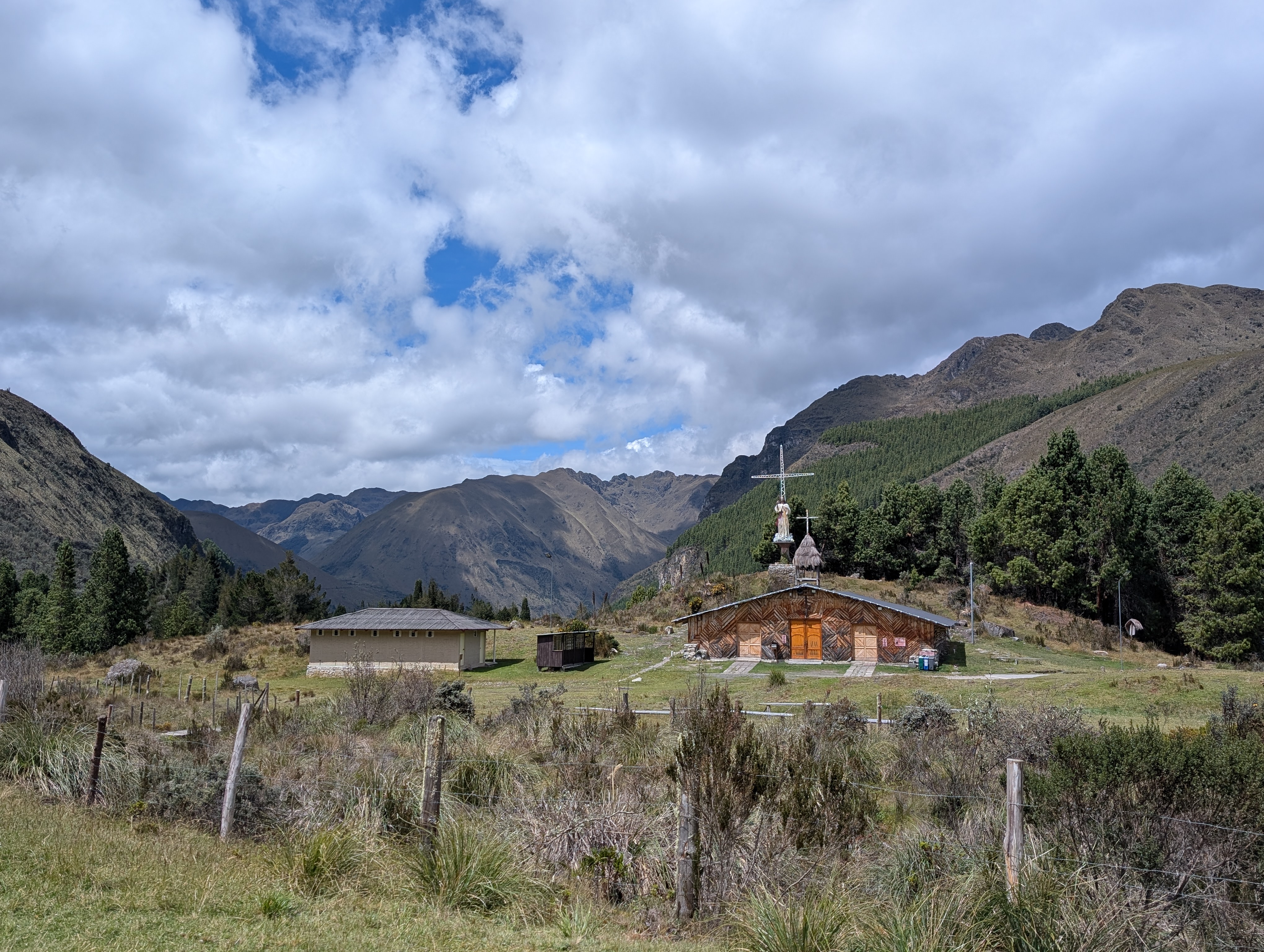
    My grandma hired a driver that would take us to Cuenca in her car. It’s about a 4 hour drive. On the way, we stopped at a few lookouts and at Cajas National Park. Cajas reaches an altitude of 14,600 ft above sea level and I could feel it. It was beautiful though. Part of me wishes that we would have had time to hike there, but the other part of me is glad because I know that breathing would have been a struggle. We also stopped at the Shrine of Our Lady, Guardian of the Faith, which is in the park.

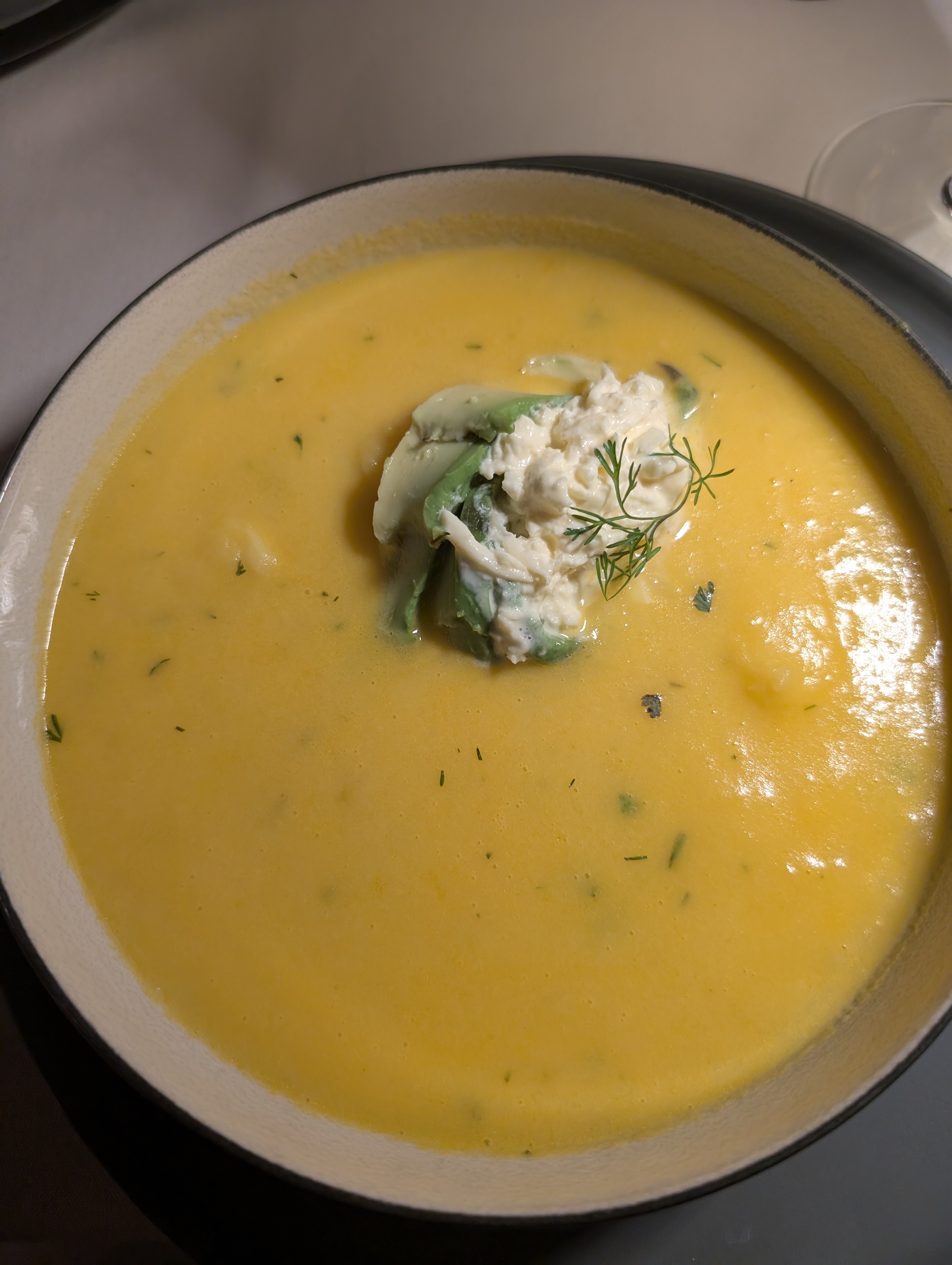
    When we got to Cuenca, we went straight to lunch. Guinea pig is a traditional food in the Andes mountains. I had never tried it before and we ordered guinea pig empanadas as an appetizer. The meat was very seasoned, so I couldn’t tell the difference between guinea pig and any other meat they could have used. The empanadas were good as long as I wasn’t picturing a guinea pig while I ate them. After lunch, we went to the hotel to take a nap and then walked to dinner. Becky and I had been craving locro, a traditional potato soup, but the locro we had that night was disappointing. It was watery and didn’t have cilantro in it.

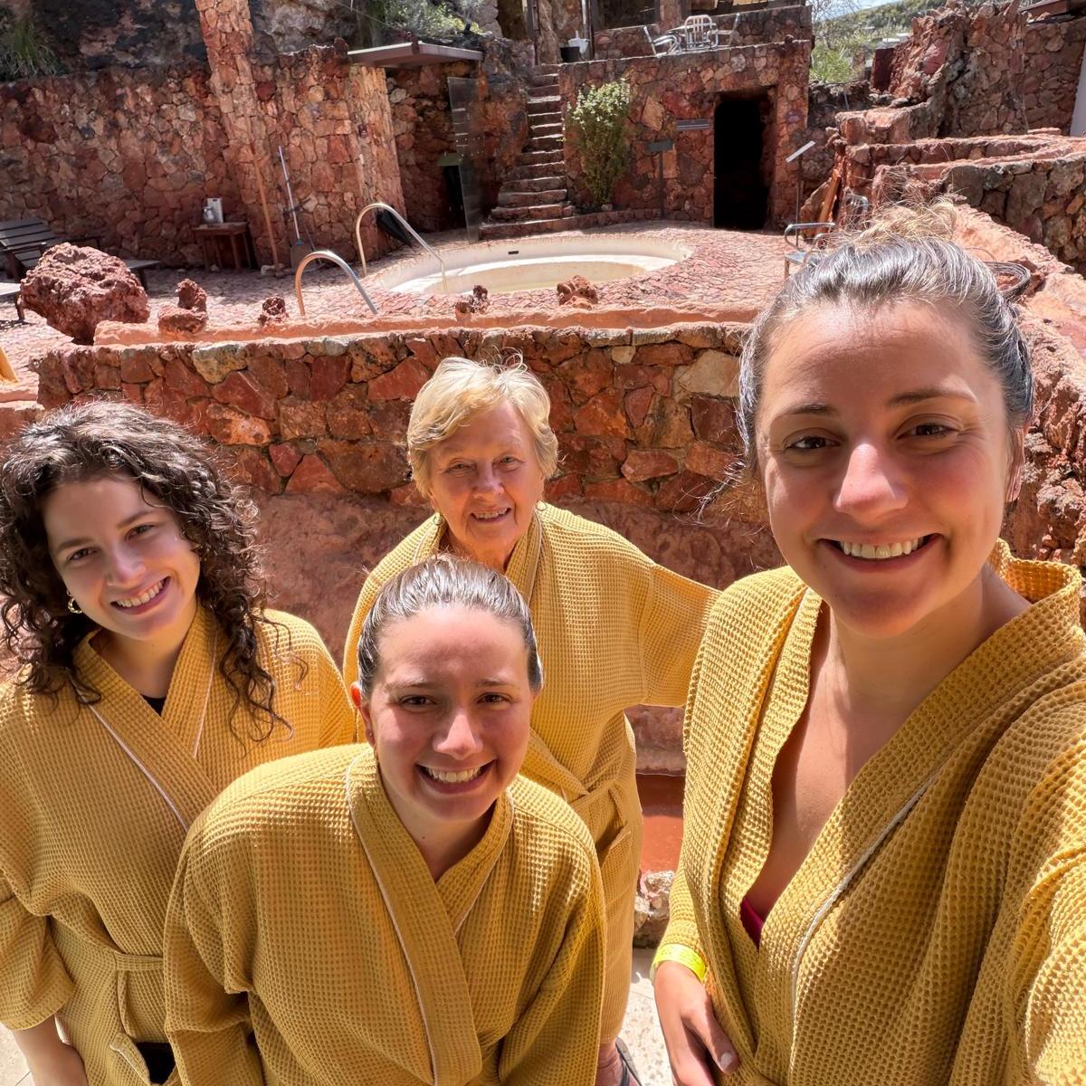
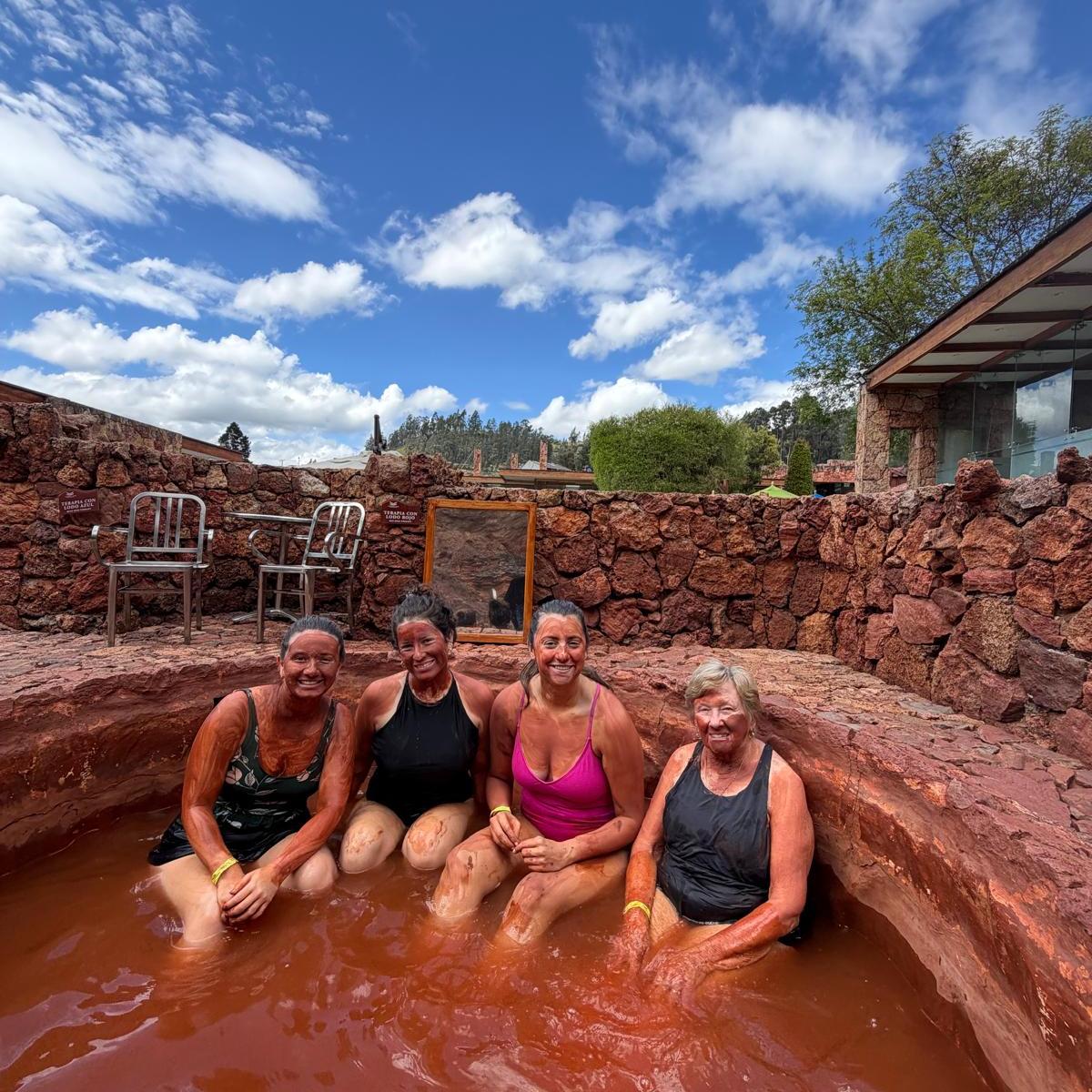
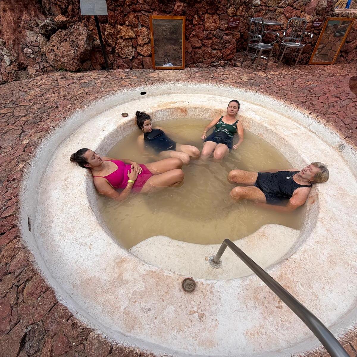
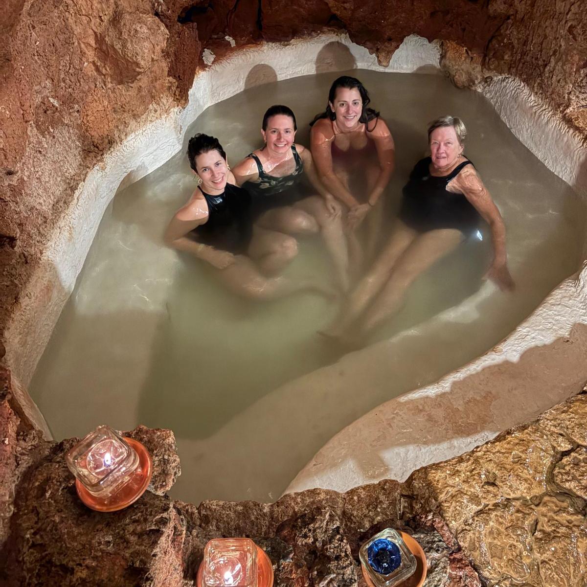
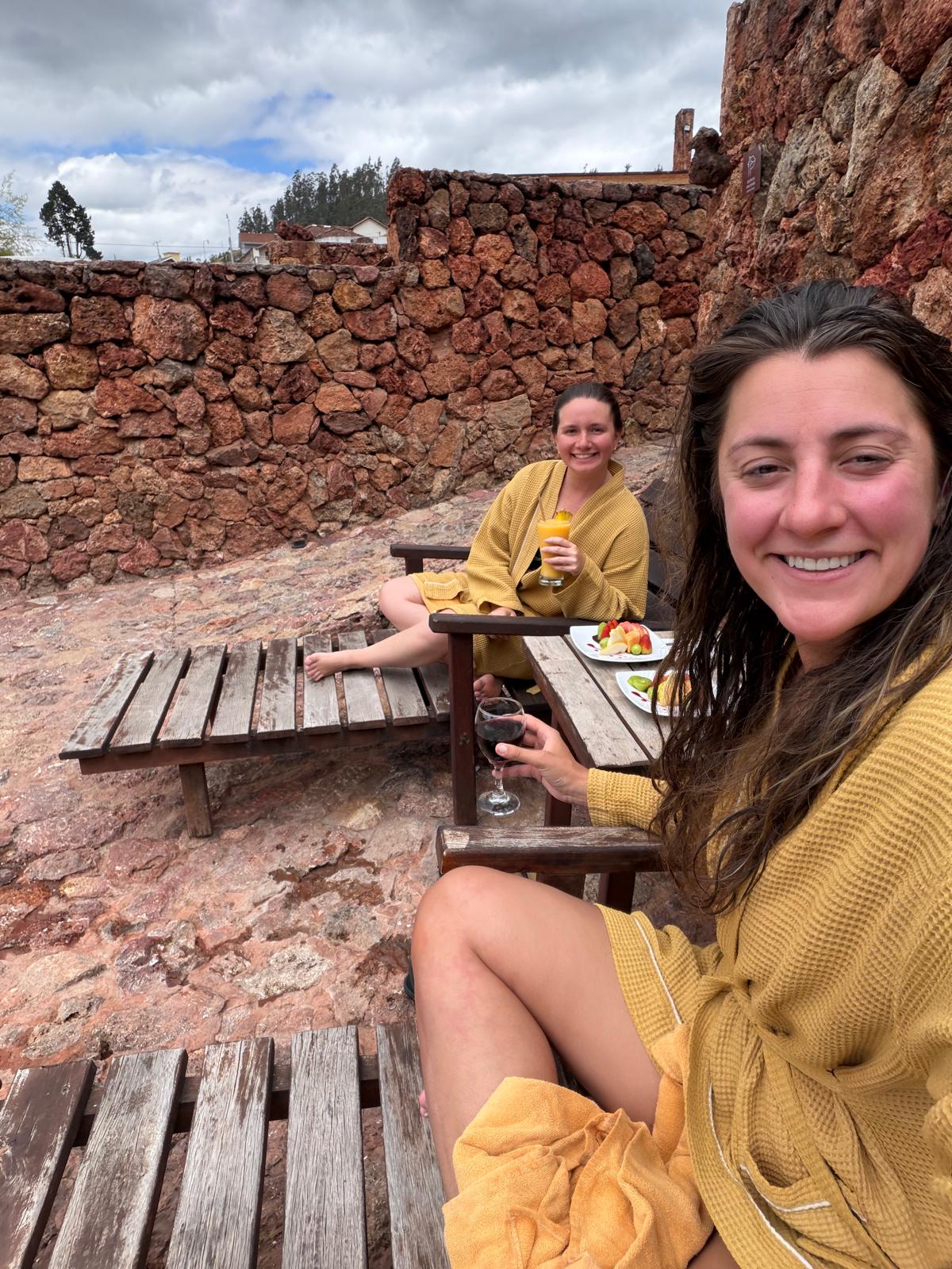
    The next day was spa day! We got to the spa at around 10 am and were pampered for the next 4 hours. First up, was the red clay pool. We got in the pool and our guide gave us some red clay to spread on our bodies to exfoliate, detoxify, and strengthen the skin. Then, we moved to the blue clay pool. We spread the blue clay all over to soften, smooth, and polish the skin. Next, we moved to the hot and cold pools. We were supposed to stay in the hot pool for 4 minutes and then cold plunge for 1 minute. The first time in the cold pool was awful because it was so cold, especially after the nice hot pool. But once we knew what we were expecting, it was easier to do the cold plunge. Monica also kept telling us to focus on our breathing while we were in the cold pool and that helped too.

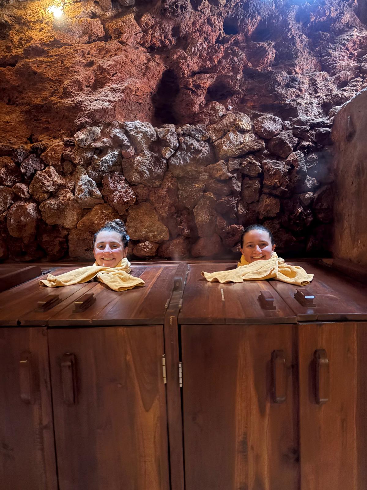
    After the pools, we parted ways. Becky and my grandma left for their massages, while Monica and I went to the steam boxes. The steam was really hot and almost, but not quite, unbearable. It felt really good, like all the toxins were getting pulled out of us. Then, we went to sit by the regular thermal pools on the property and wait for our massages. In the meantime, we ordered our complimentary fruit plate and drink. They took a really long time bringing them to us and we had only taken a few bites before they called us for our massages. We had to scarf down the fruit. Luckily, they let us bring our drinks with us. The massage was amazing! When we were done, we met up with Becky and my grandma at the restaurant and had our complimentary lunch. We each picked a different dessert and had fun trying and rating all of them. The entire day cost less than a single massage costs in the US. So if you want a spa day, Cuenca is the place to go.

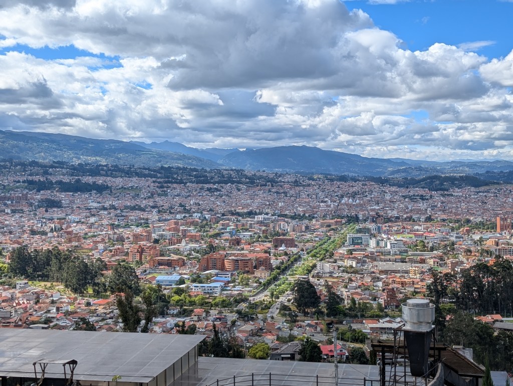
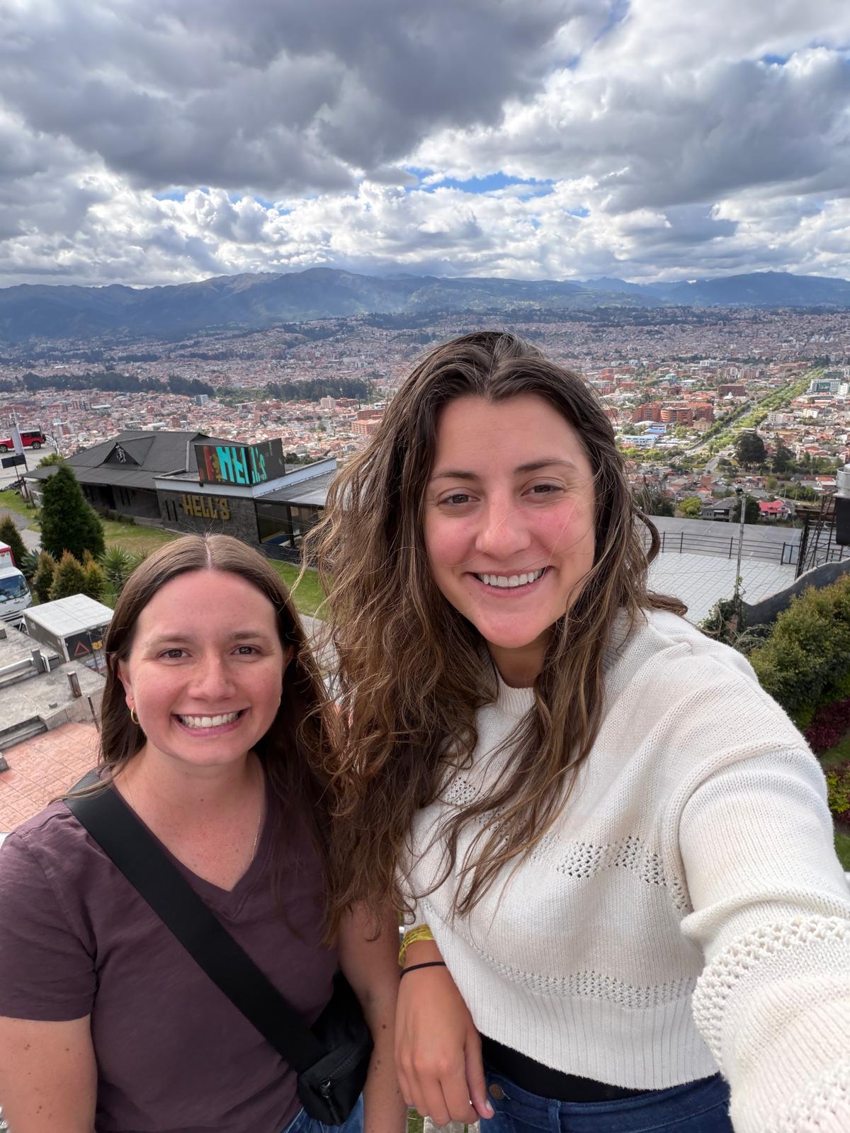
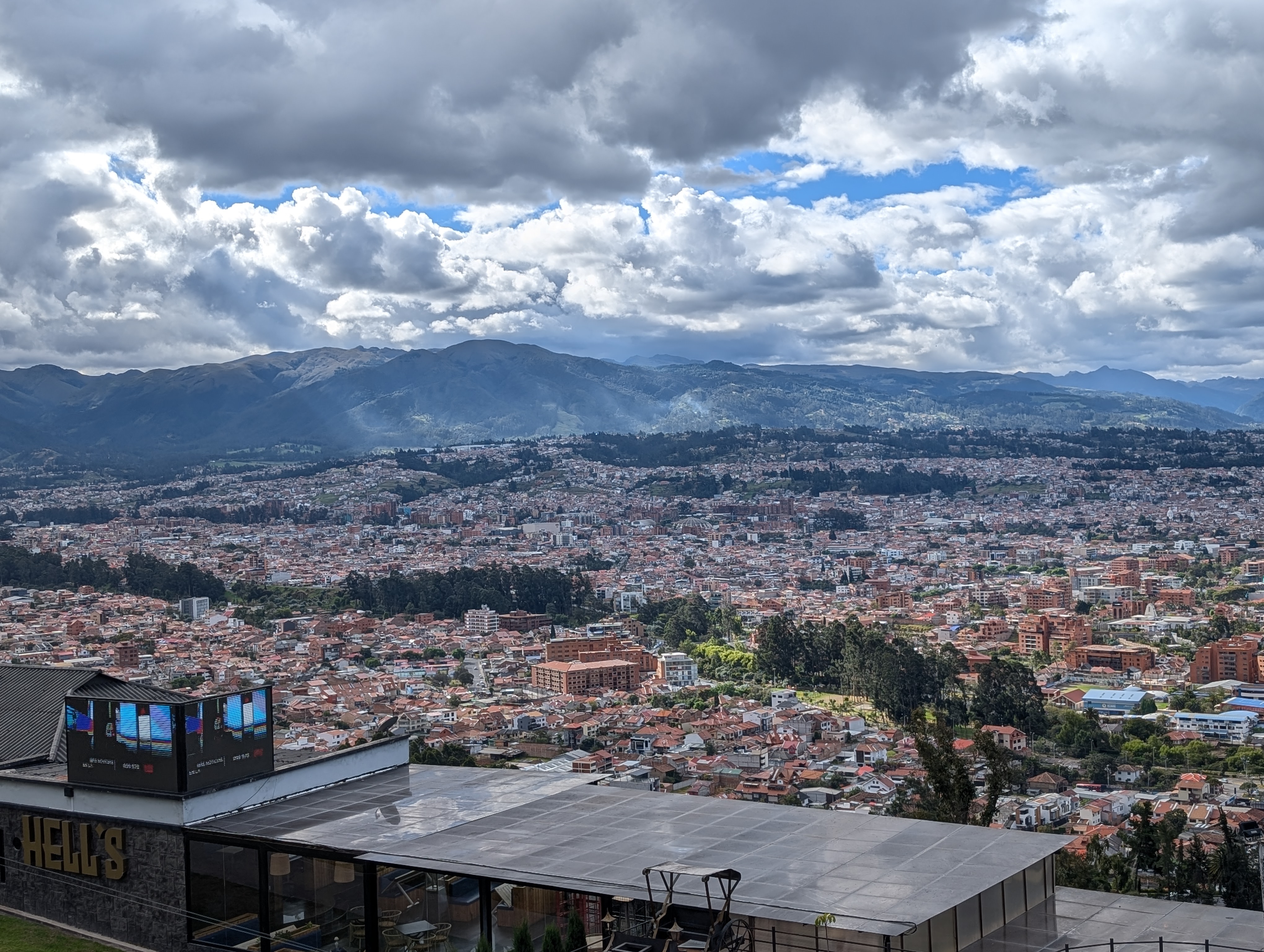
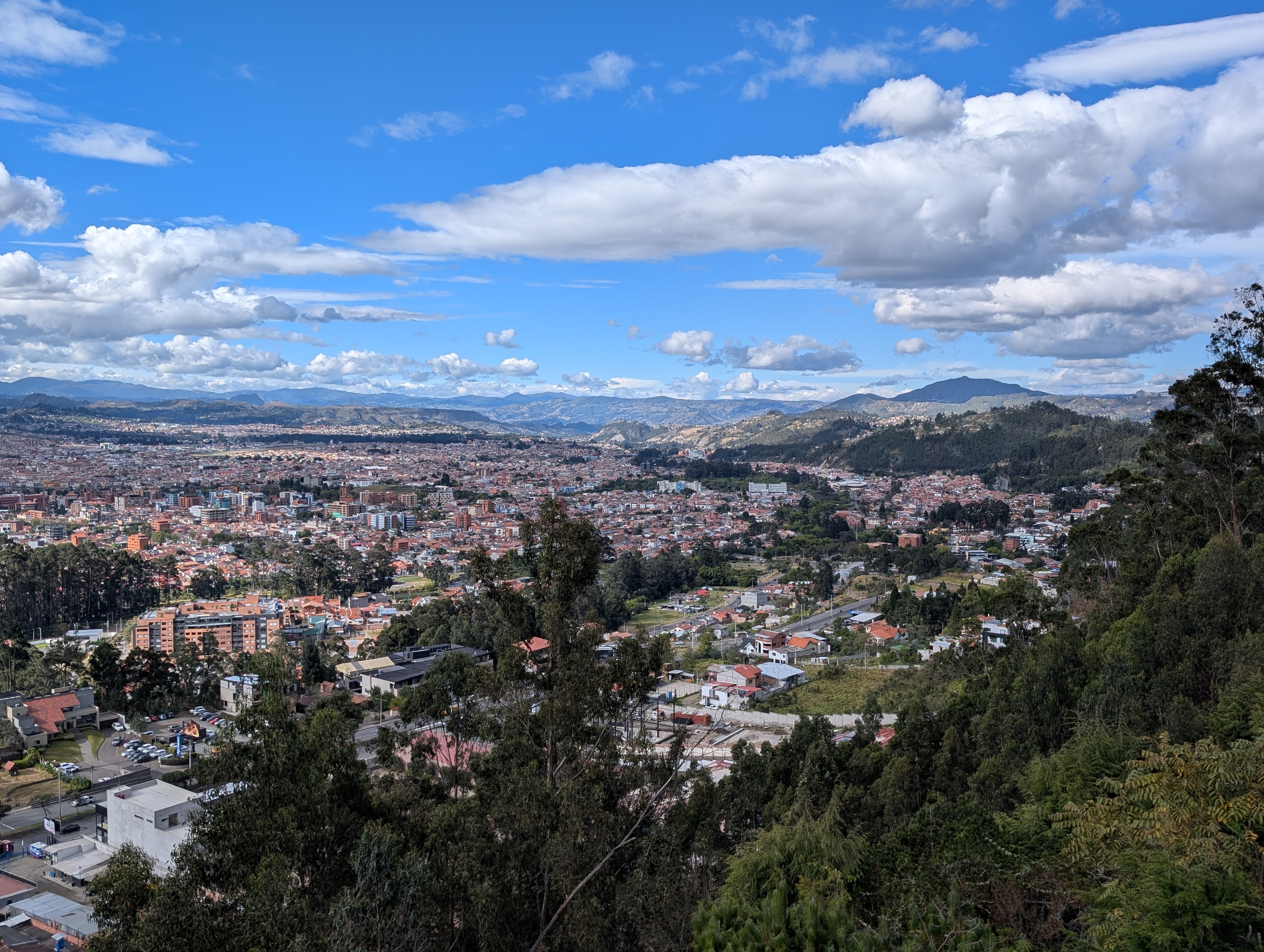
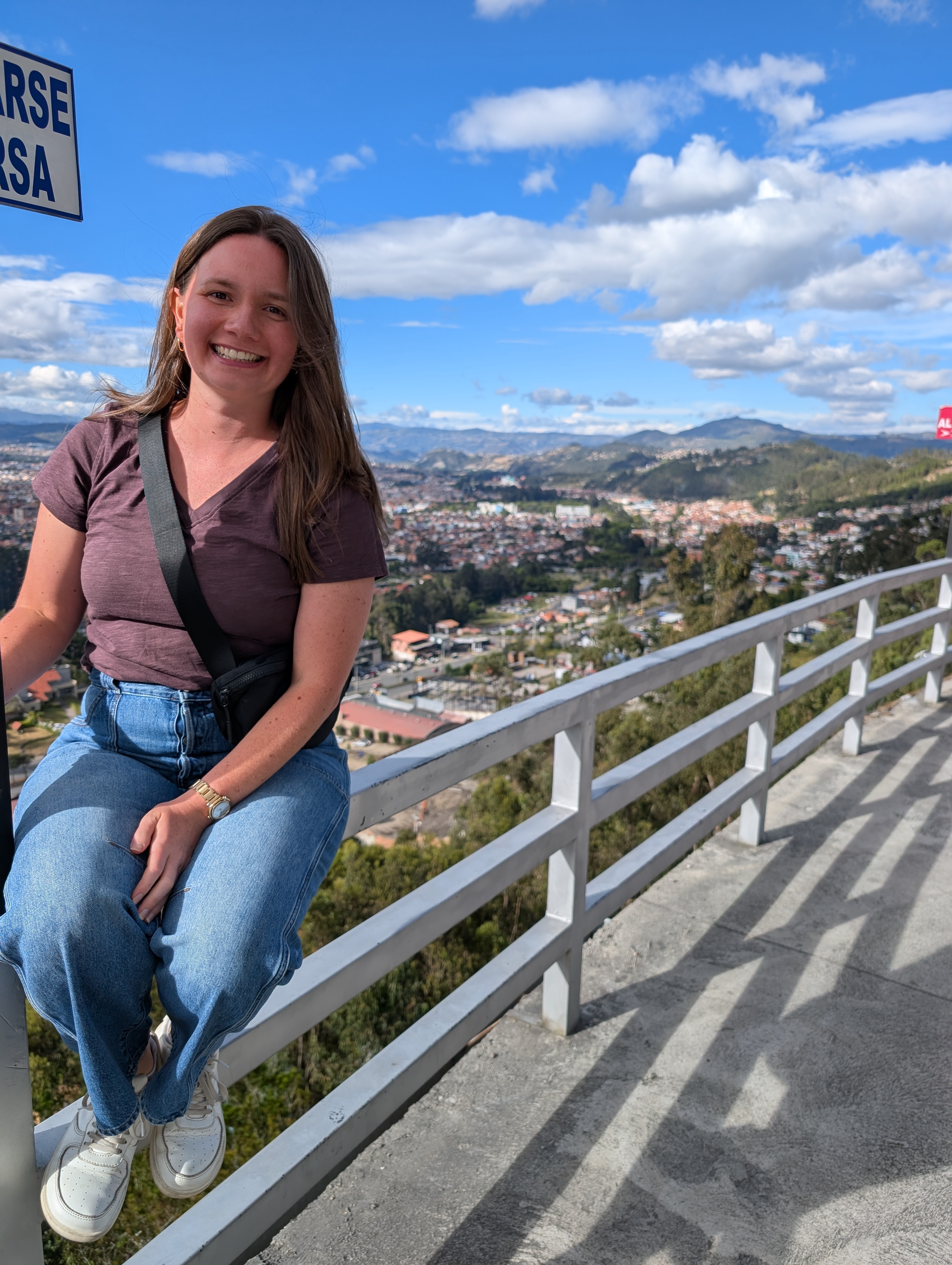
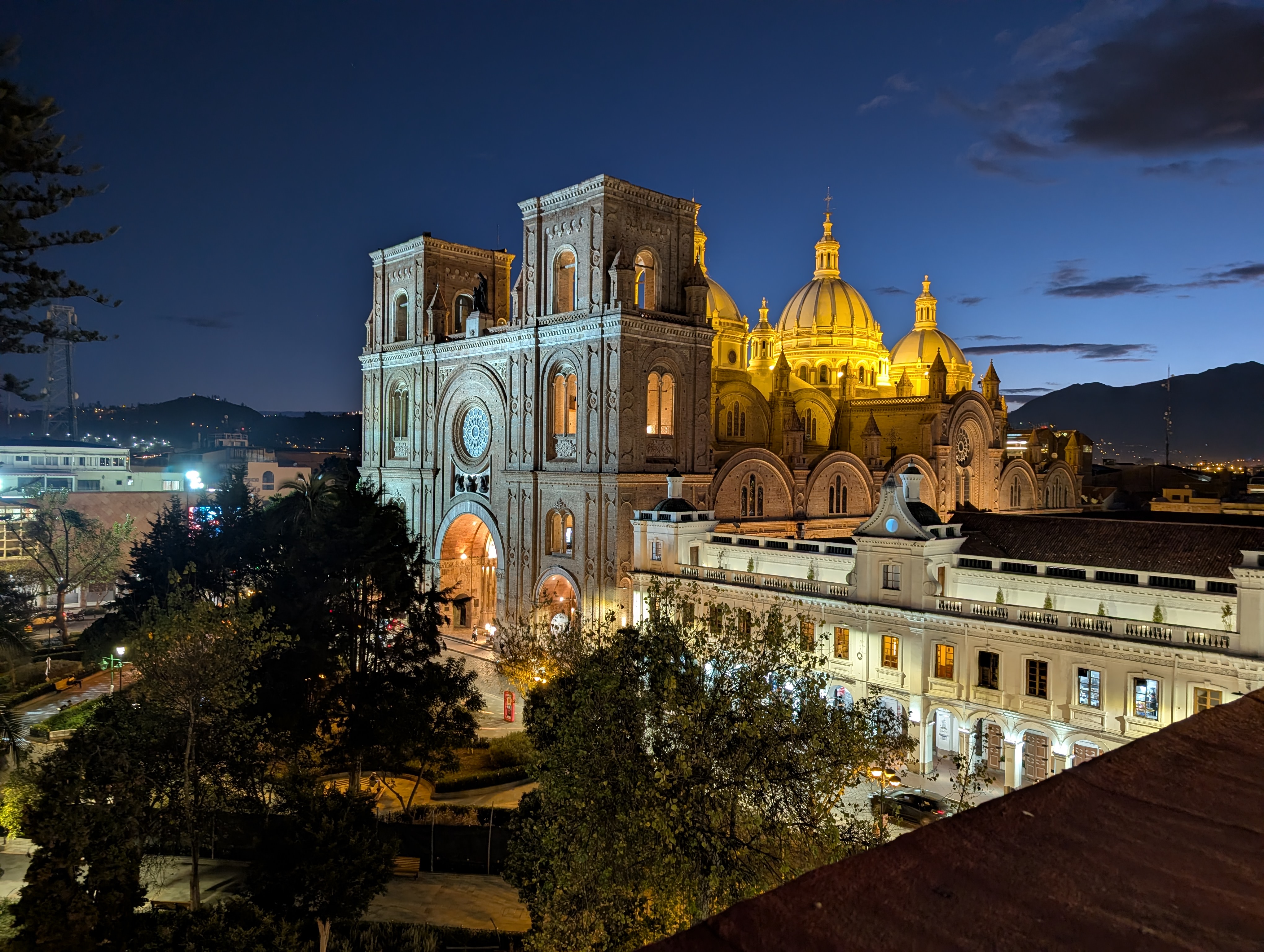
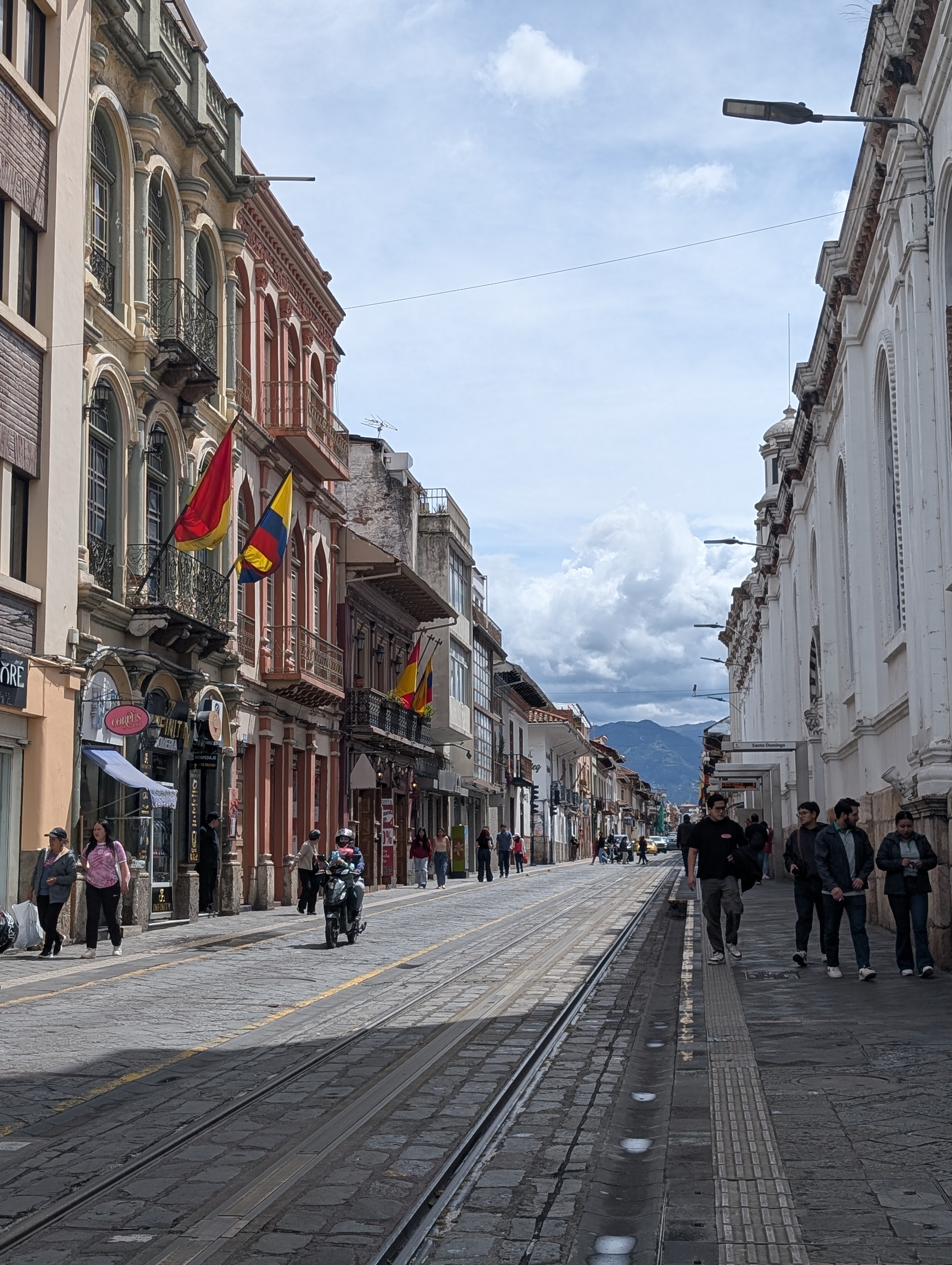
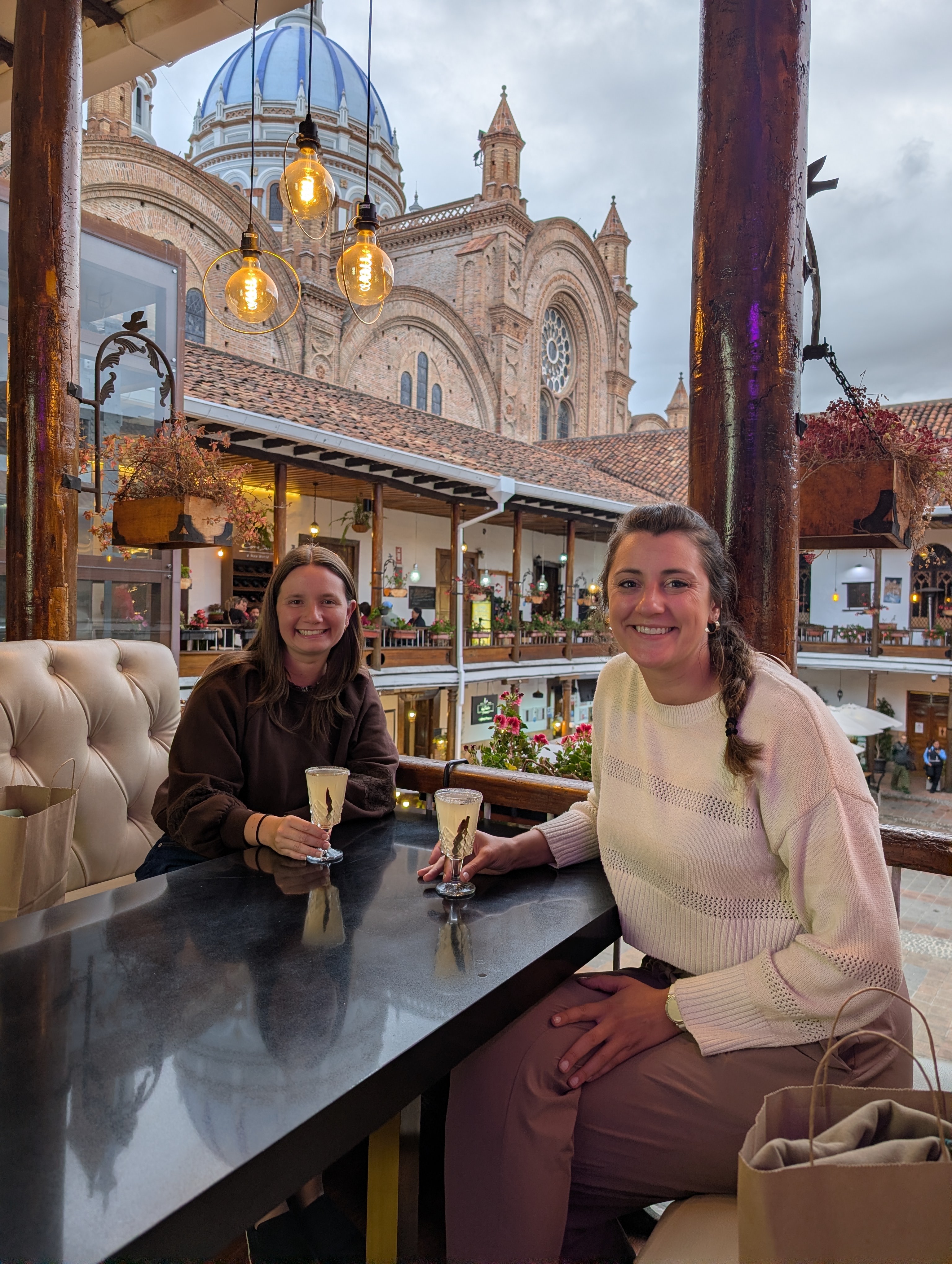
    On the way back to the hotel, we stopped at the Mirador de Turi, a lookout that has great views of the city. Monica and I nearly gave my grandma a heart attack by sitting on the railing. Then, we all took naps. Before dinner, we walked to a rooftop restaurant that has a great view of the cathedral and the main plaza. We had drinks there and then walked to dinner. I ordered locro again and this one was exactly what I had been craving. It was delicious!

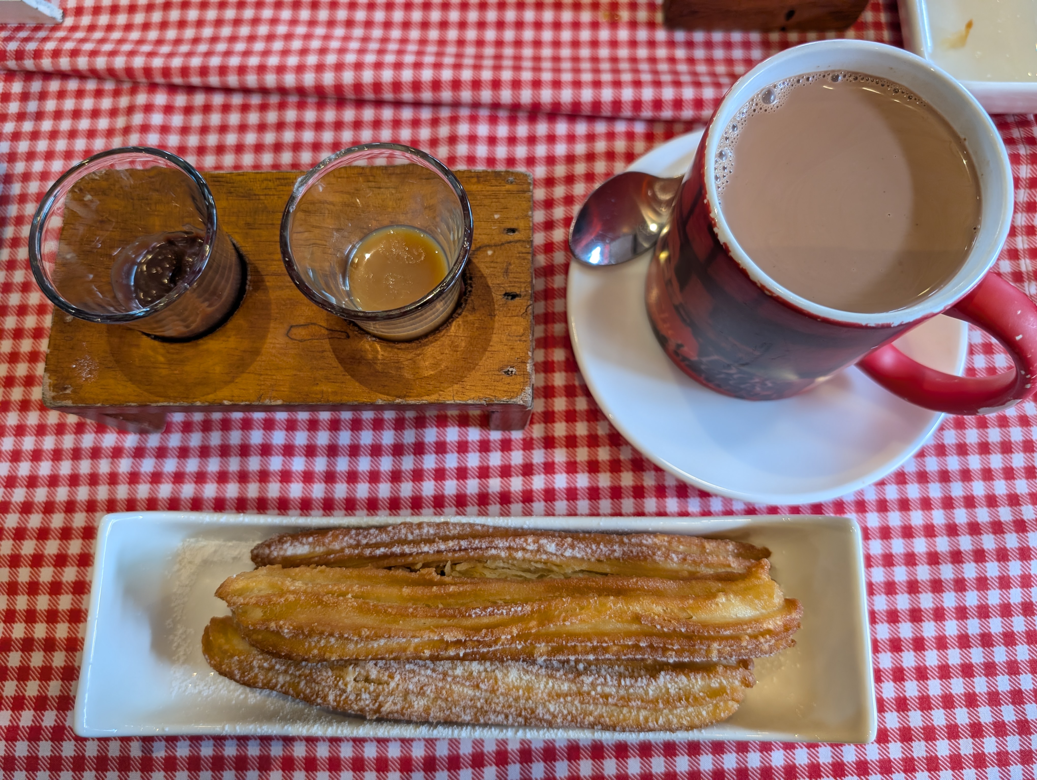
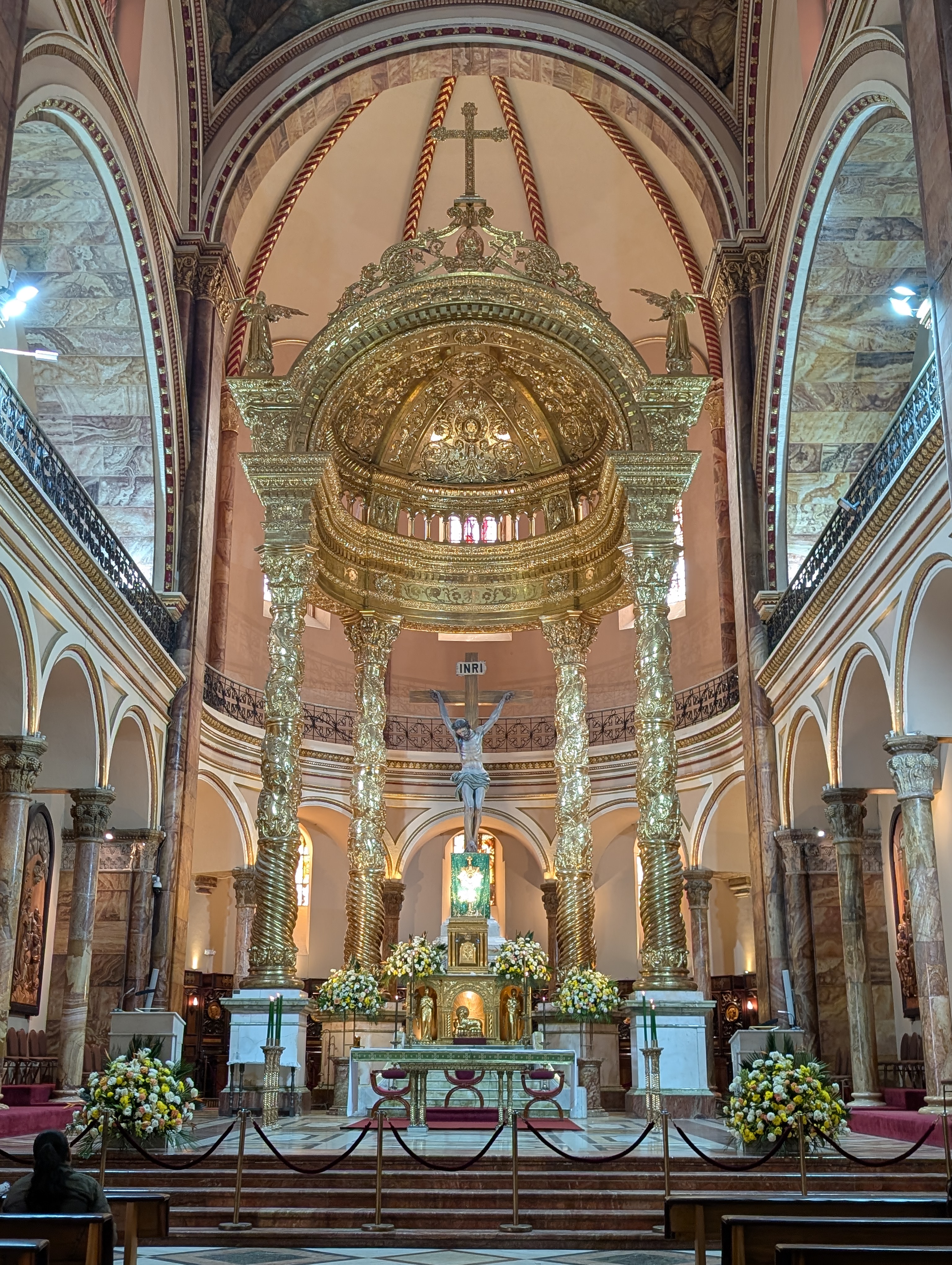
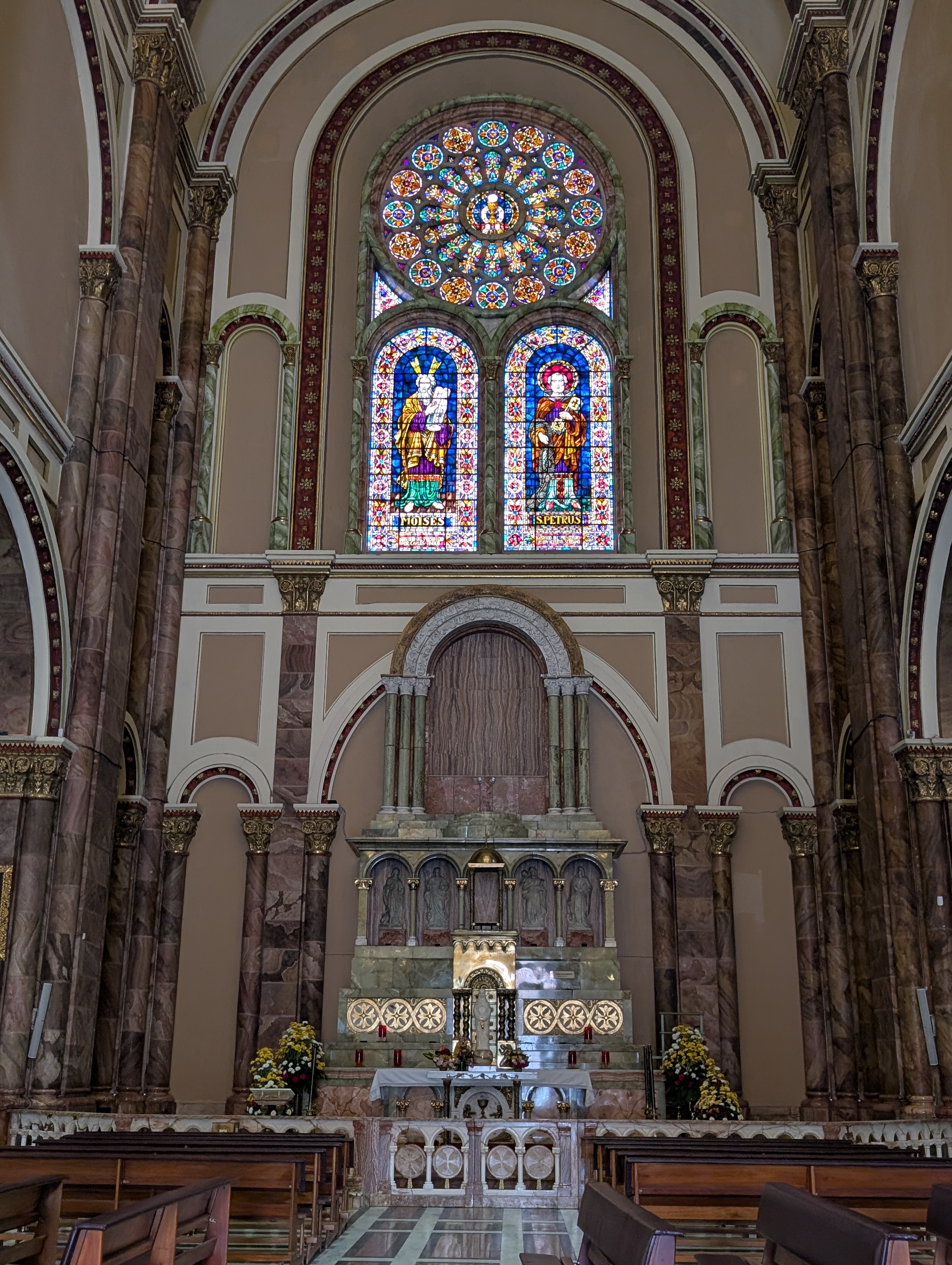
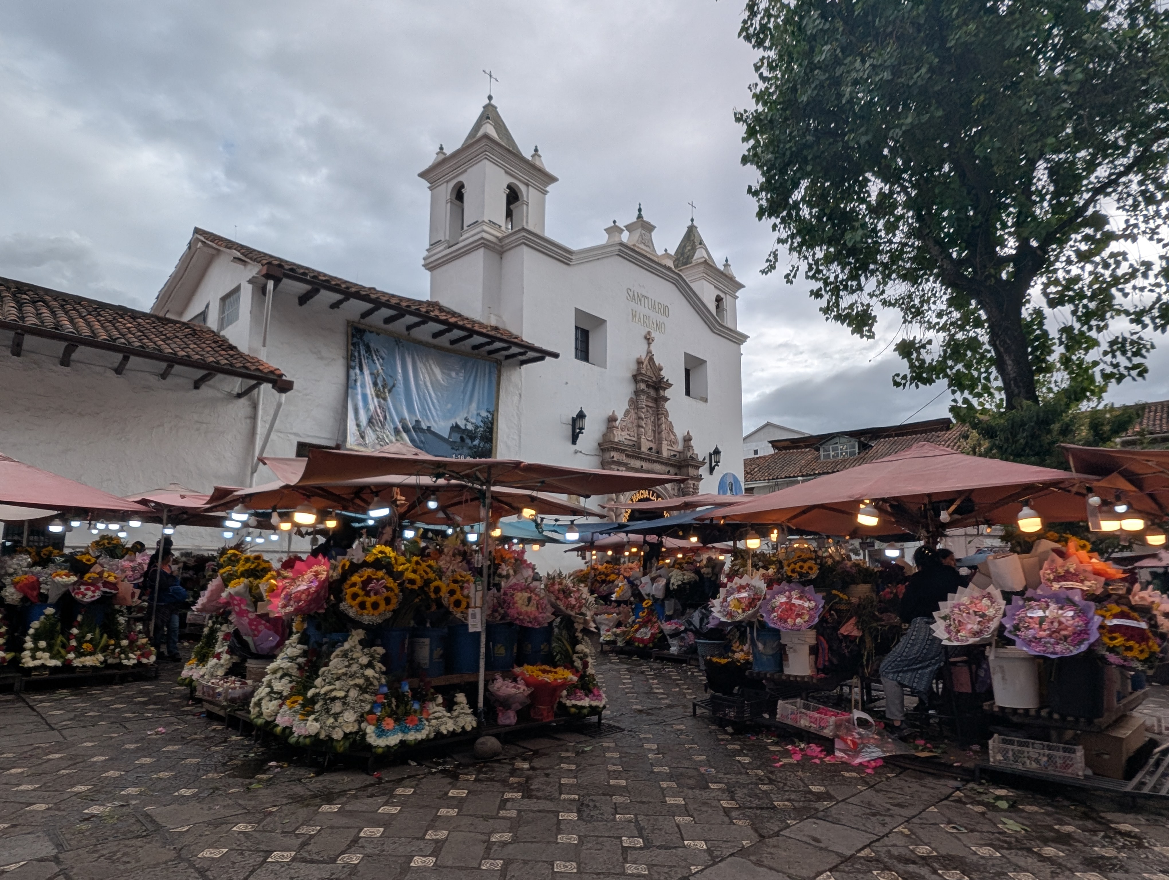
    The next morning, Monica had clients. My grandmother, Becky, and I had churros and hot chocolate after breakfast and then they left to drive back to Guayaquil. Monica and I stayed behind, since we were flying to Quito that night. When Monica was done working, we walked around the city some more, saw a few churches, got to see the cathedral, which had been closed every other time we’d walked by, and we drank agua de pítimas, a medicinal herbal drink made by cloistered nuns. Monica was very confused about why I was making her drink a red liquid with a very interesting taste. It wasn’t bad but it also wasn’t good. It’s a cultural experience, so we had to do it. We ended the day with dinner in a courtyard next to the cathedral. We really got to see the cathedral from all angles on this trip. Then we went to the airport to fly to our next adventure.

  • Mesa Verde National Park, CO

    Mesa Verde National Park, CO

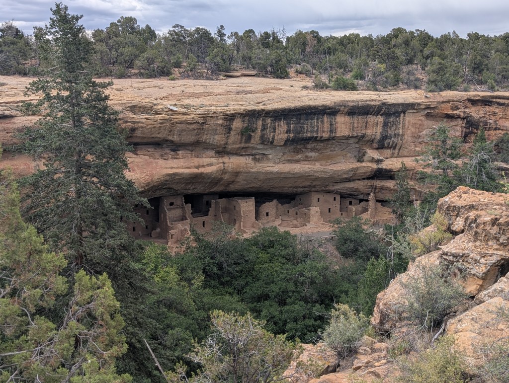
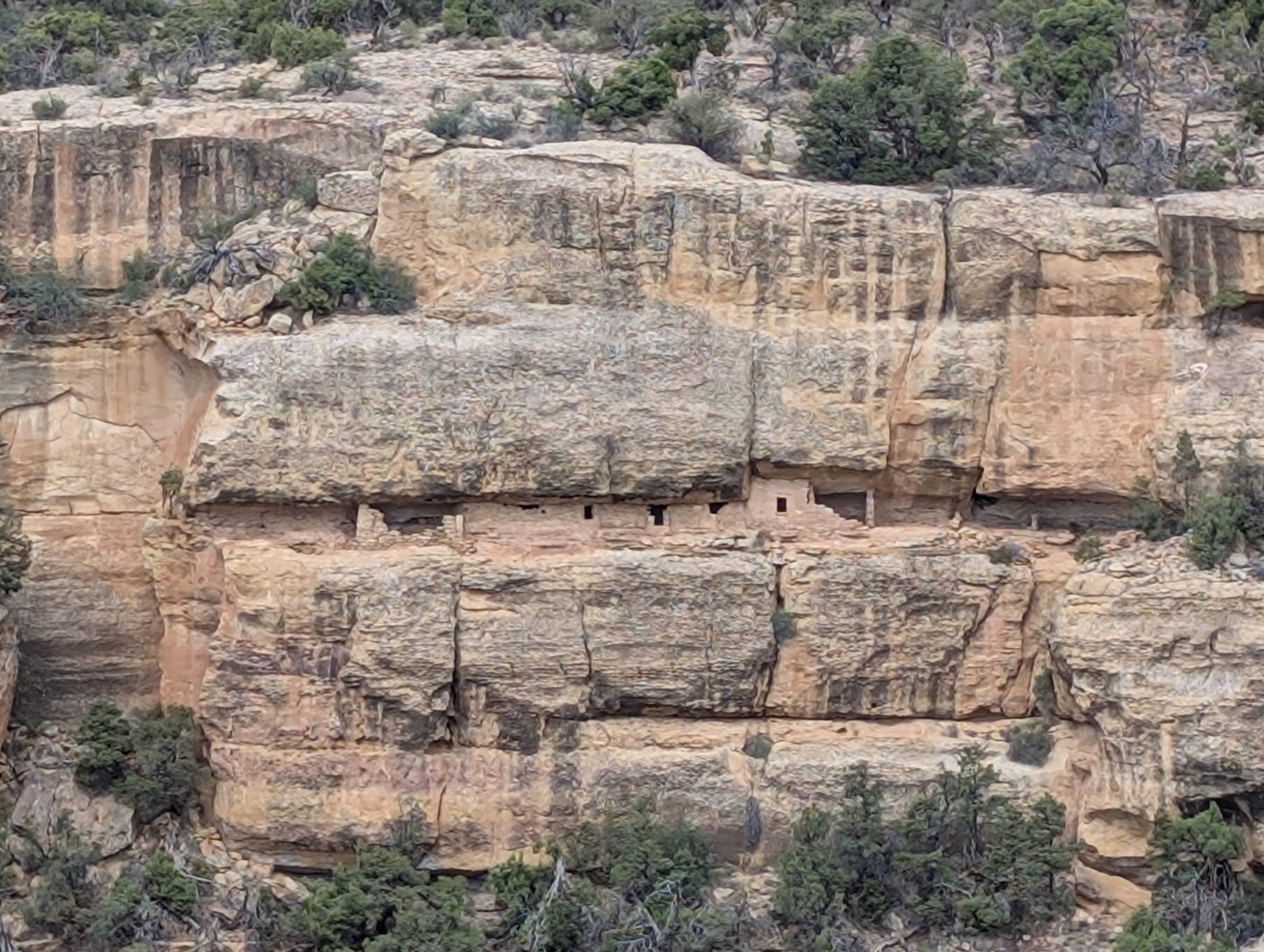
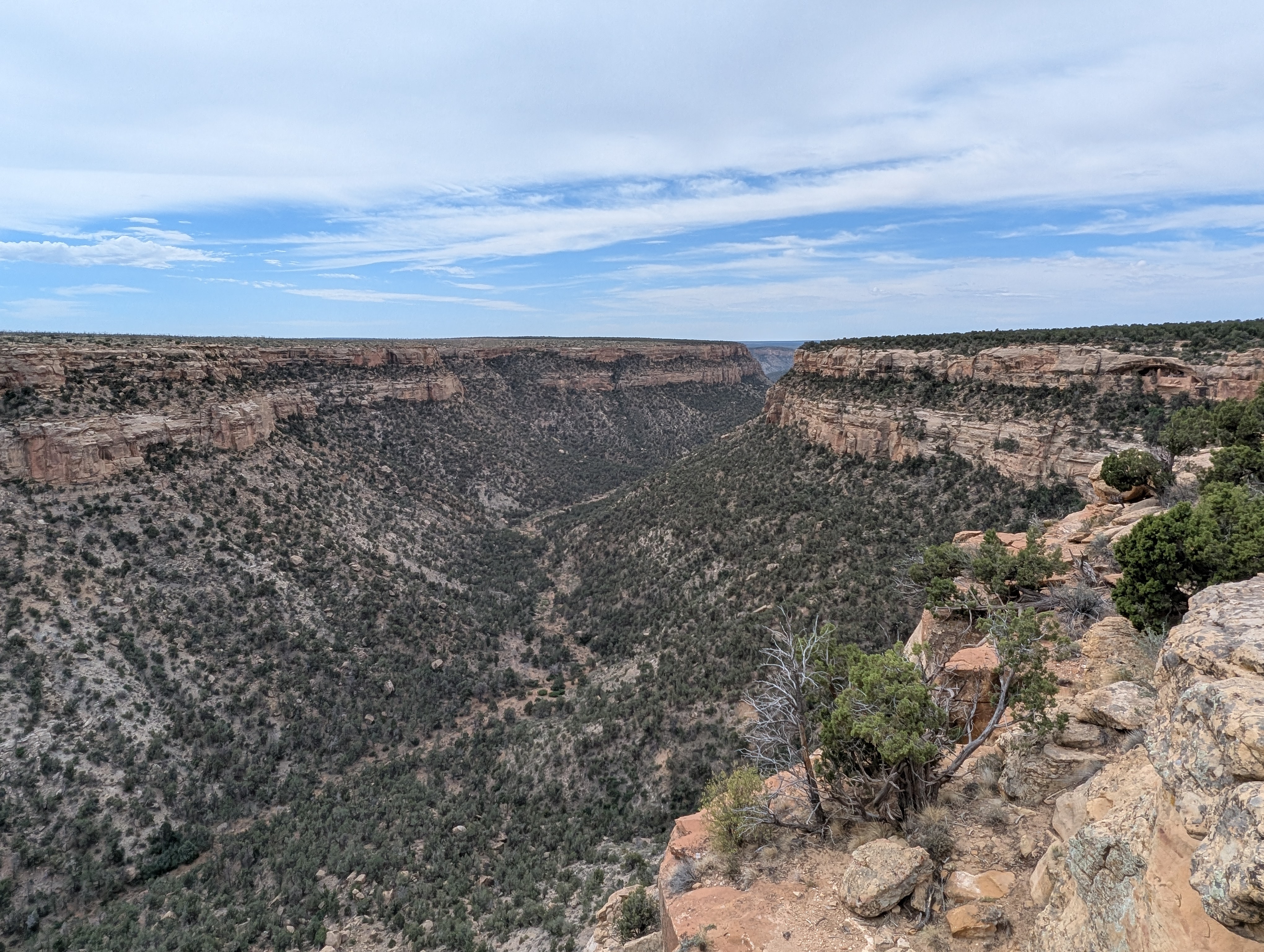
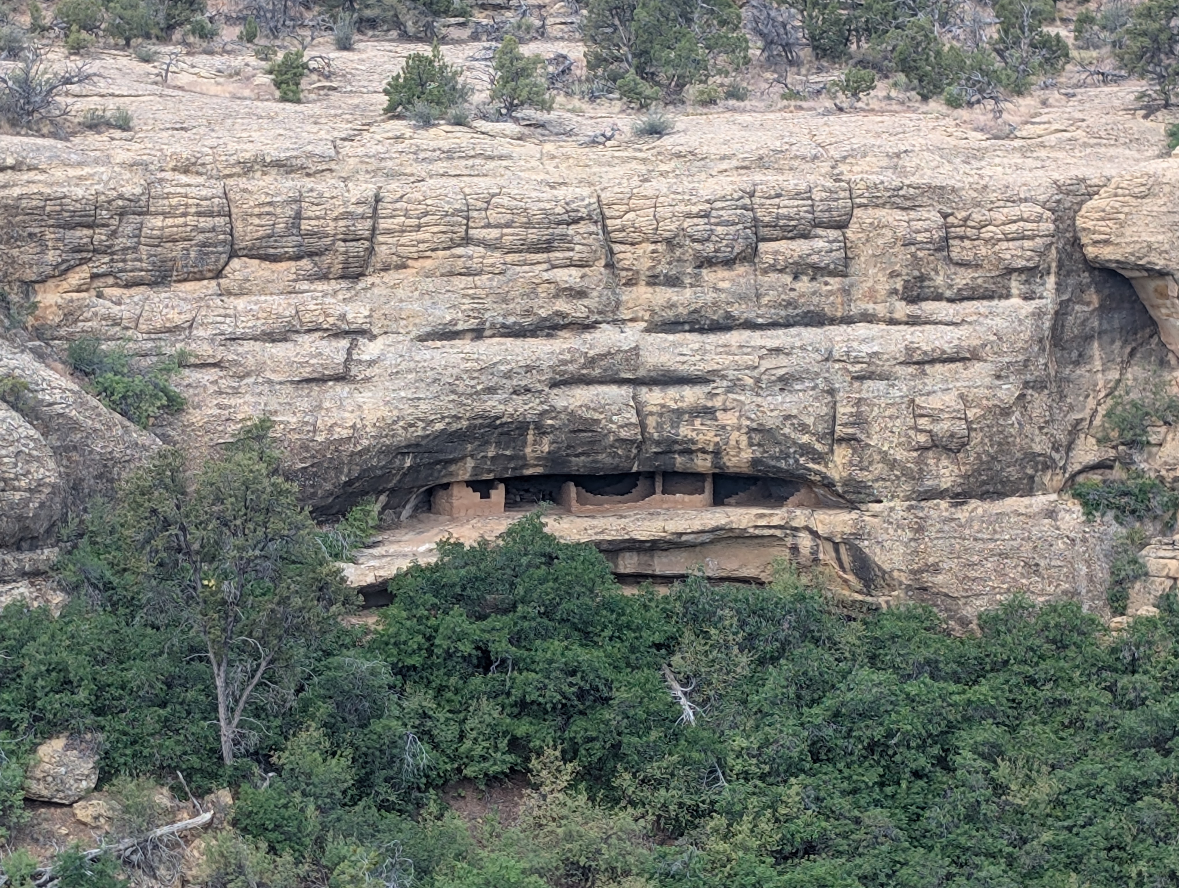
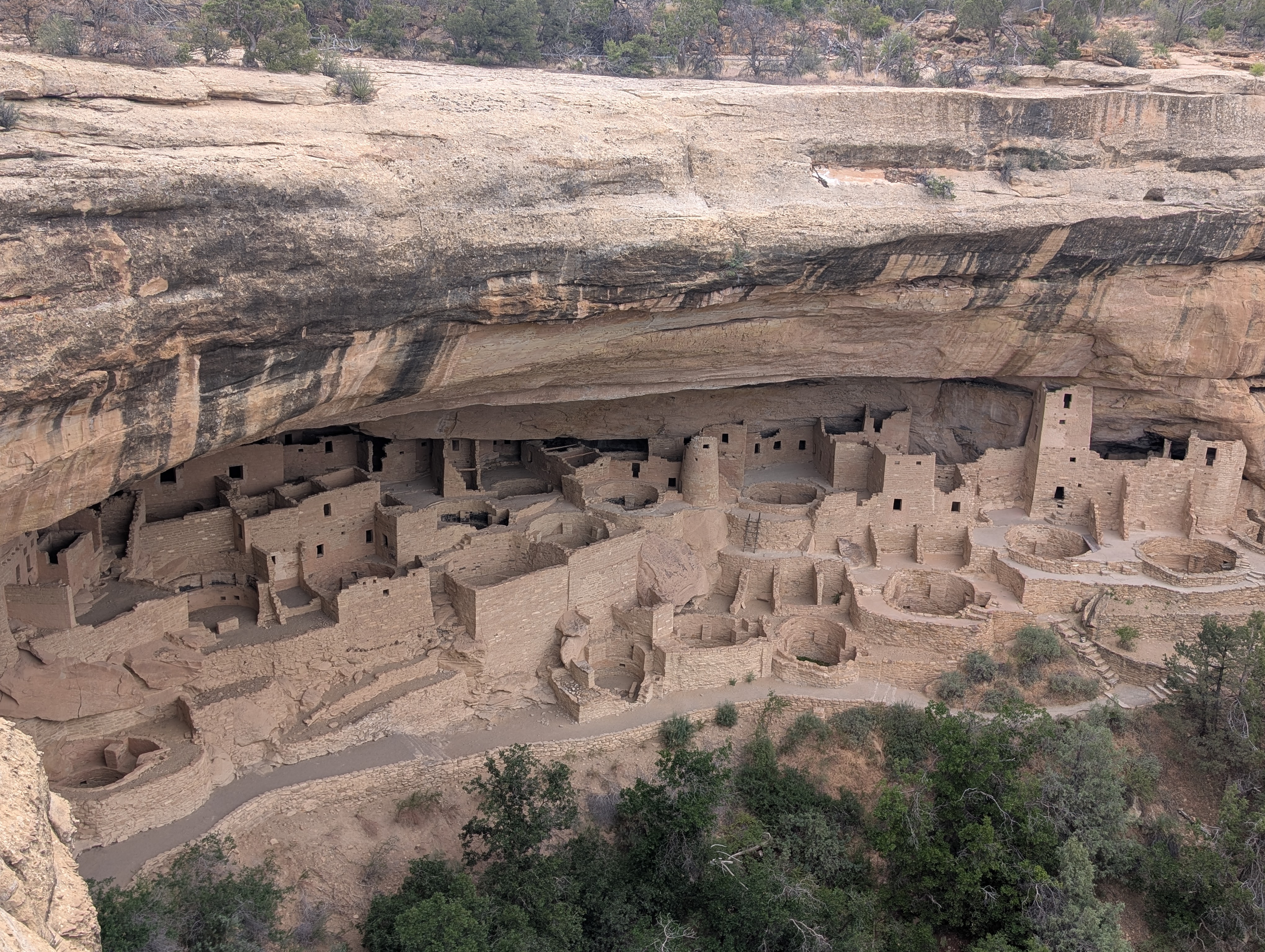
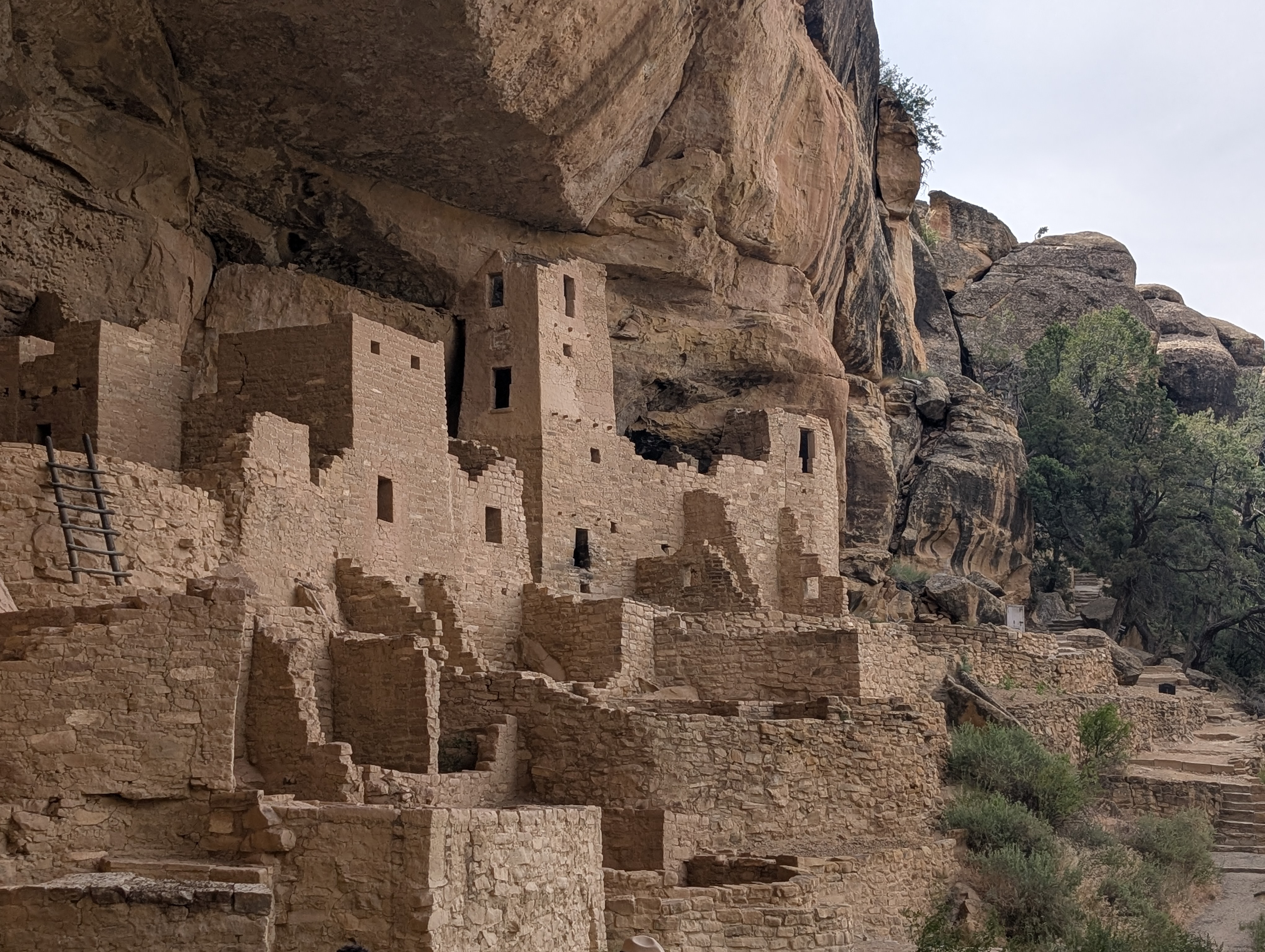
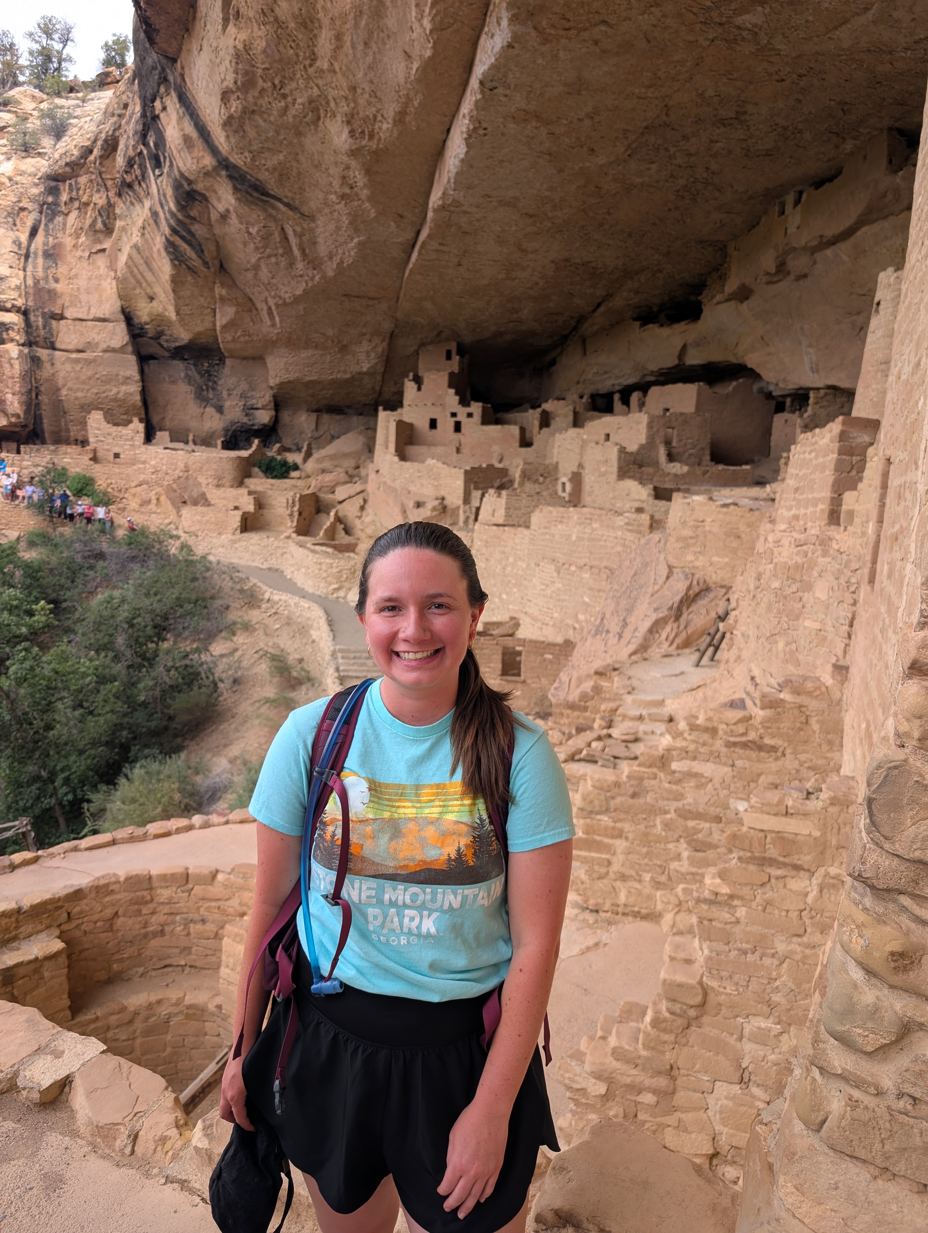
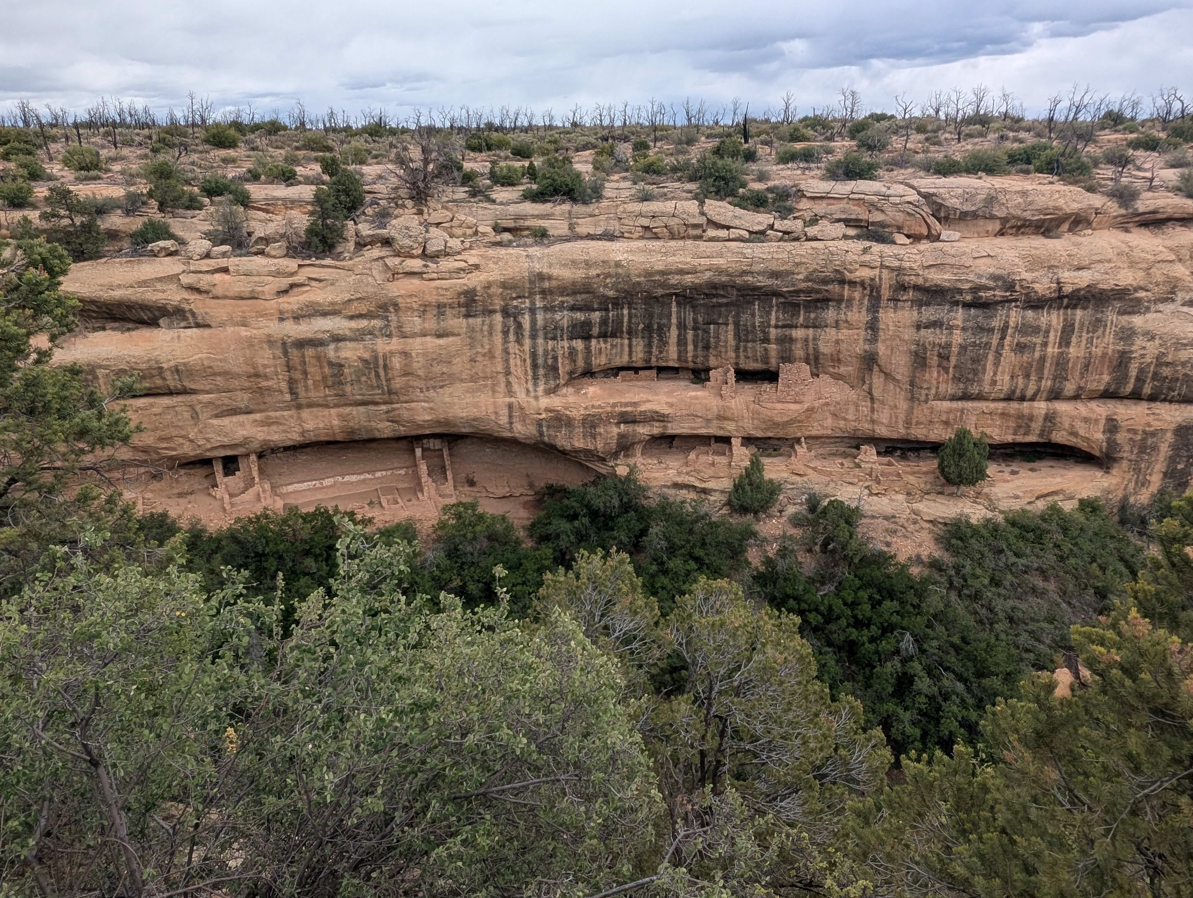
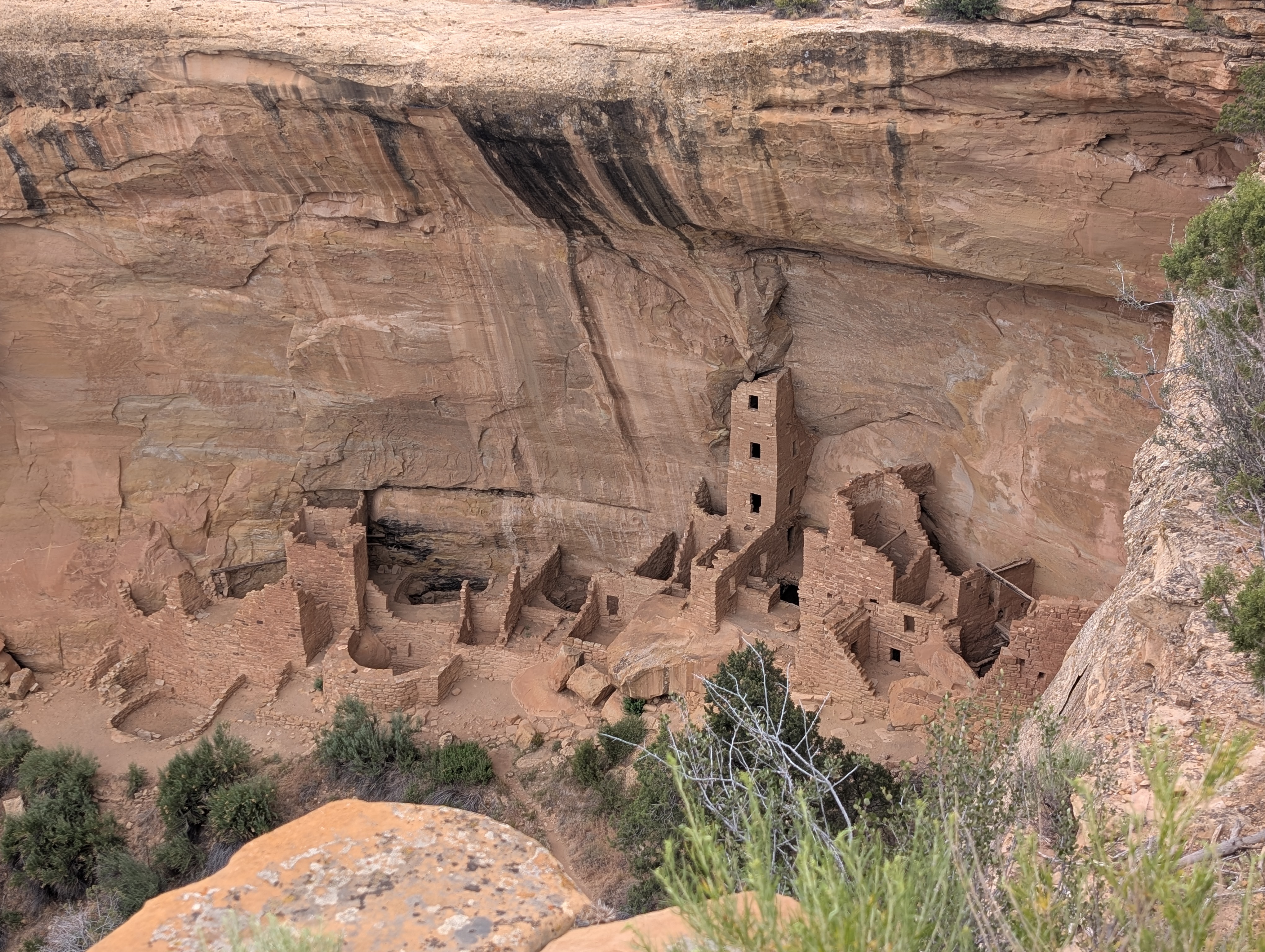
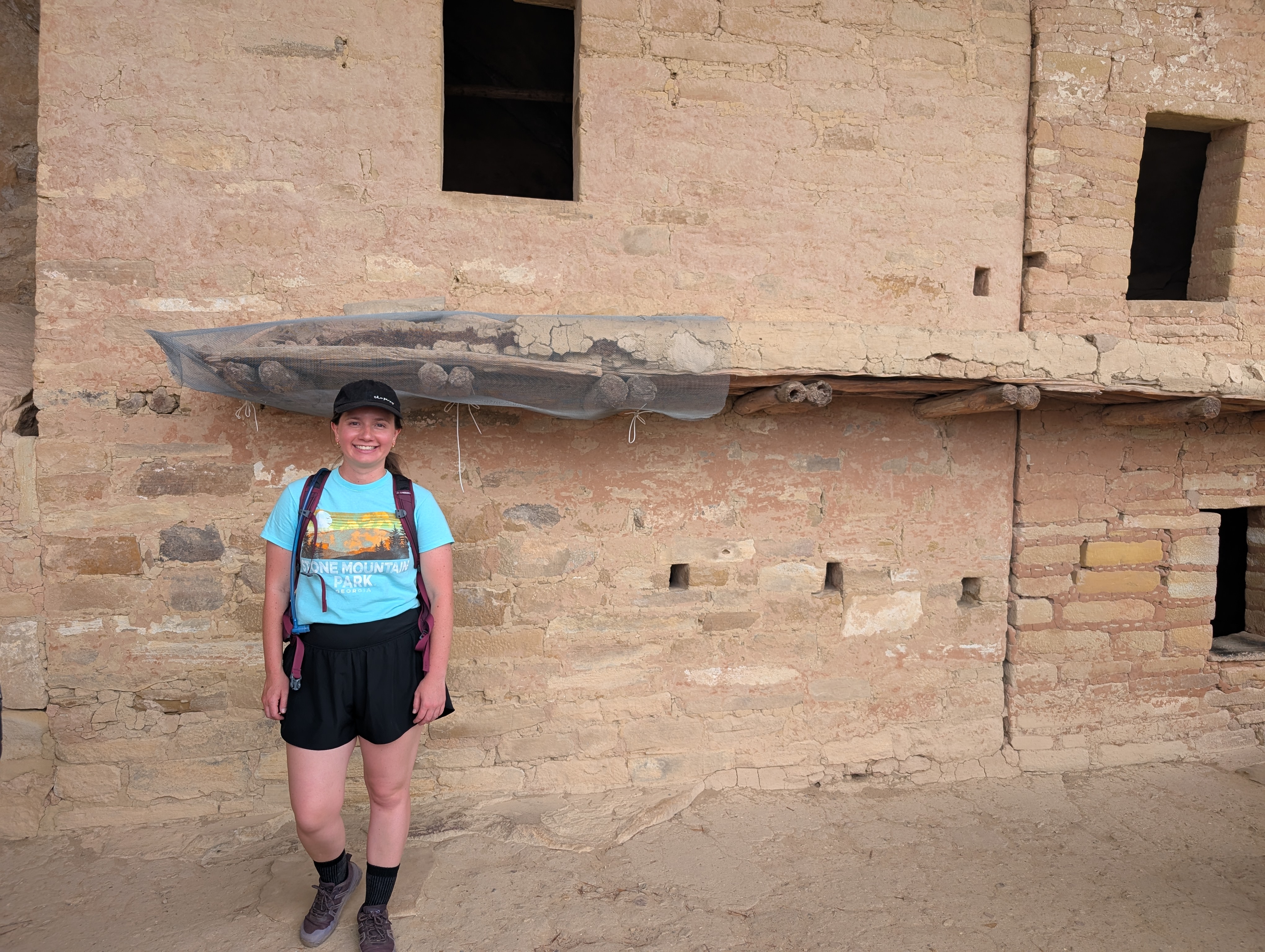
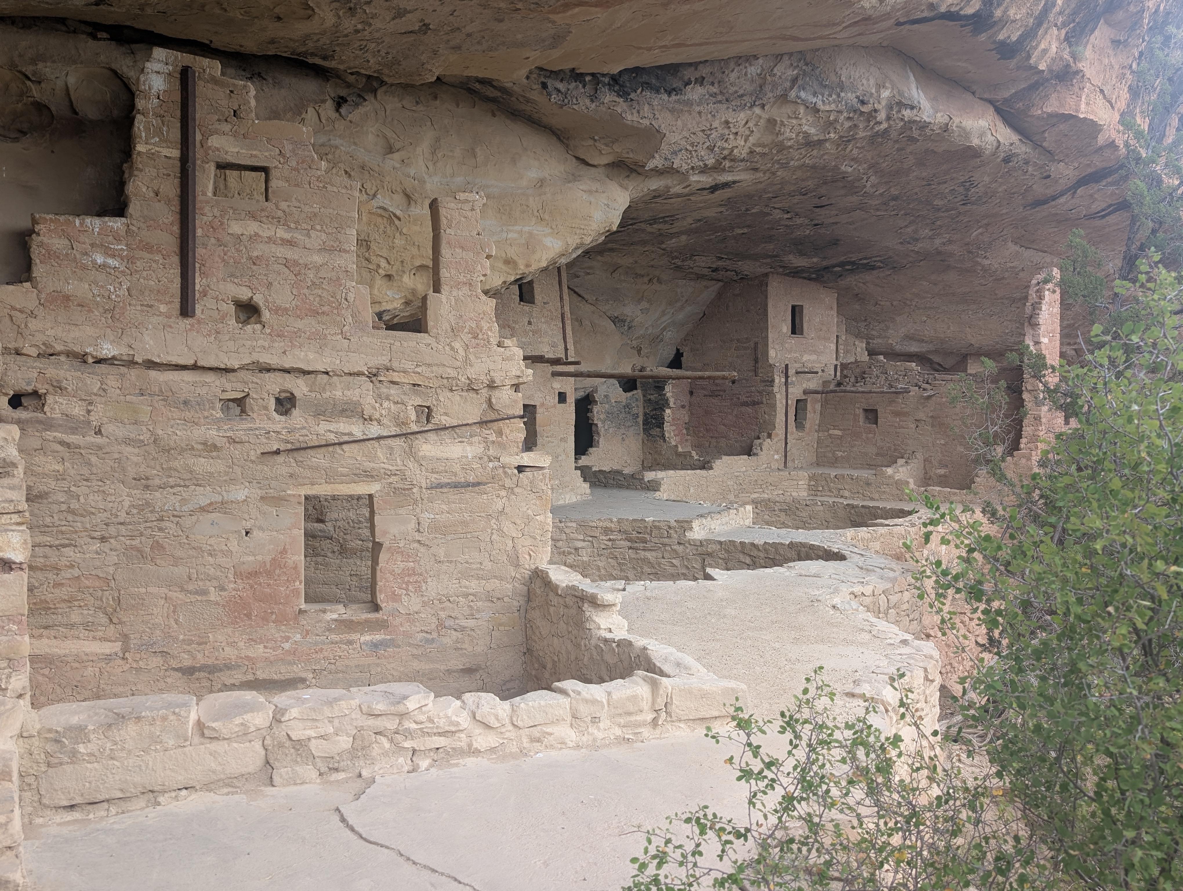
    On Wednesday, I took a day trip from Durango to Mesa Verde National Park. Mesa Verde is known for its Ancestral Pueblo cliff dwellings and it’s a UNESCO World Heritage Site in addition to being a national park. There are hikes you can do, but the best thing to do there is tour the cliff dwellings. I did the tours for Cliff Palace and Balcony House, which are very close to each other. Long House, the third one you can tour, is an hour away and I didn’t have time for all 3.

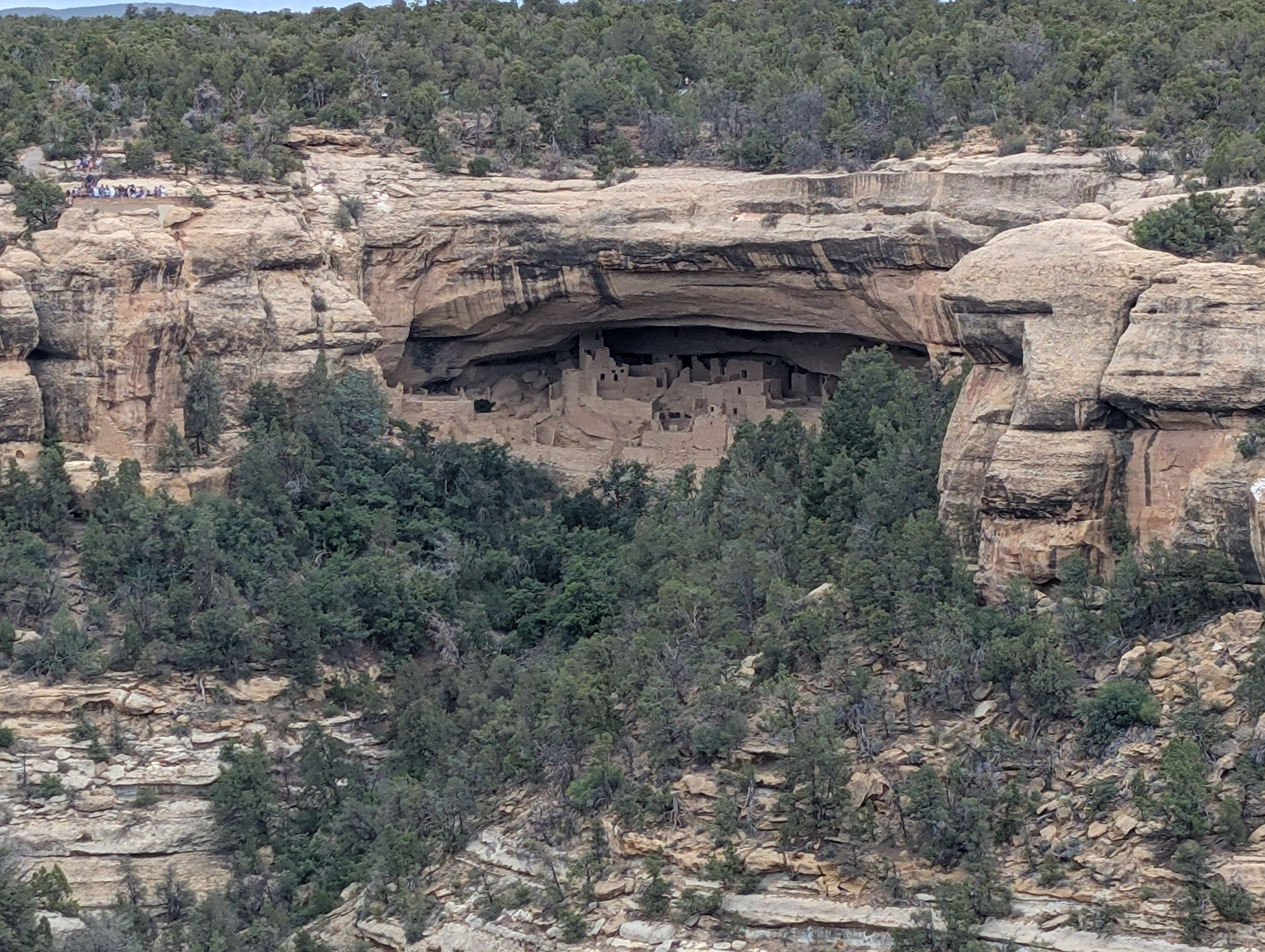
    I got to the park at around 9 am and the Cliff Palace tour wasn’t until 10:30 am, so I stopped at all the viewpoints on the Cliff Palace Loop. Most of them are overlooks where you can see various cliff dwellings. The last one requires a 1 mi hike to the overlook for Balcony House and Soda Canyon. When I got to the trailhead, it was almost time to head to my tour. I had a few minutes less than I actually needed for the hike, but I decided that I could power walk through it and be ok. I power walked and towards the end, ran a little when I realized I was actually late. I did manage to see the overlooks for 2 seconds each and I arrived at the tour in time to hear the safety instructions. However, while I was power walking / running, I started feeling my left knee. Throughout the rest of the day, my knee was fine, but put a pin in the fact that I was feeling it on the hike. We’ll revisit it in the next blog post.

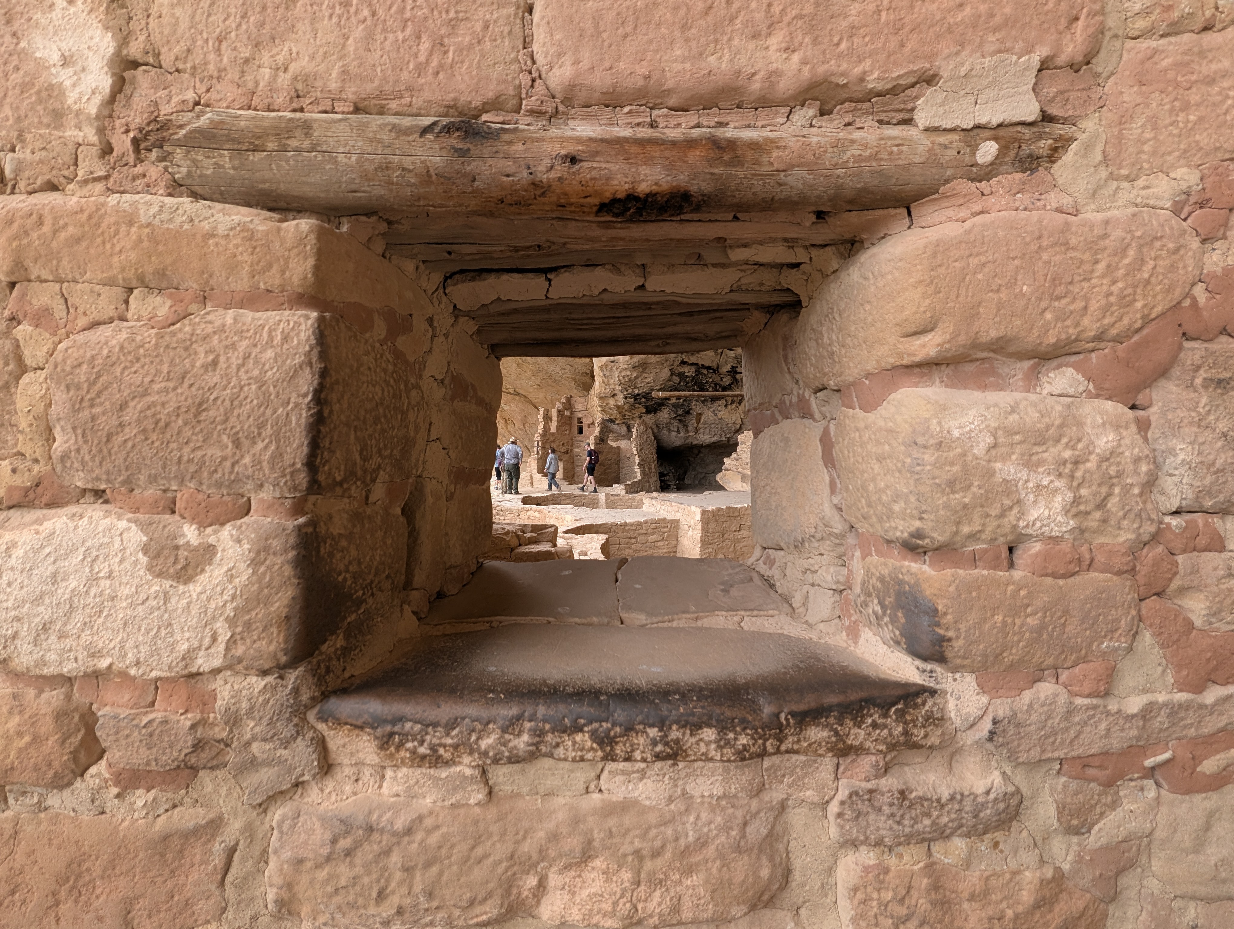
    Cliff Palace is the largest cliff dwelling in North America. It was impressive to see structures that were built 700-800 years ago. What was more impressive, was thinking about how the Pueblo people got to the dwellings. There are now stairs to go down to the dwellings, but they didn’t have those back then. Our tour guide told us that when conditions in the area changed, the Pueblo people left the cliff dwellings and migrated south. Their descendants now live in Taos, New Mexico. It was really cool to hear that because I’m going to Taos in a few days. It’ll be a lot more interesting to see the Taos Pueblo now that I’ve seen where their ancestors lived 700 years ago.

    After the tour, I stopped to buy some fry bread. The reservation of the Ute people borders Mesa Verde. You can cross over to their land from the Cliff Palace Loop and there’s usually someone selling traditional fry bread there. The fry bread dough is flattened into a thin circle and then fried. You can eat it with different toppings. I had half with salt and honey and half with cinnamon and sugar. They also had a garlic option. It was delicious, obviously. There’s no way that fried bread won’t taste good.

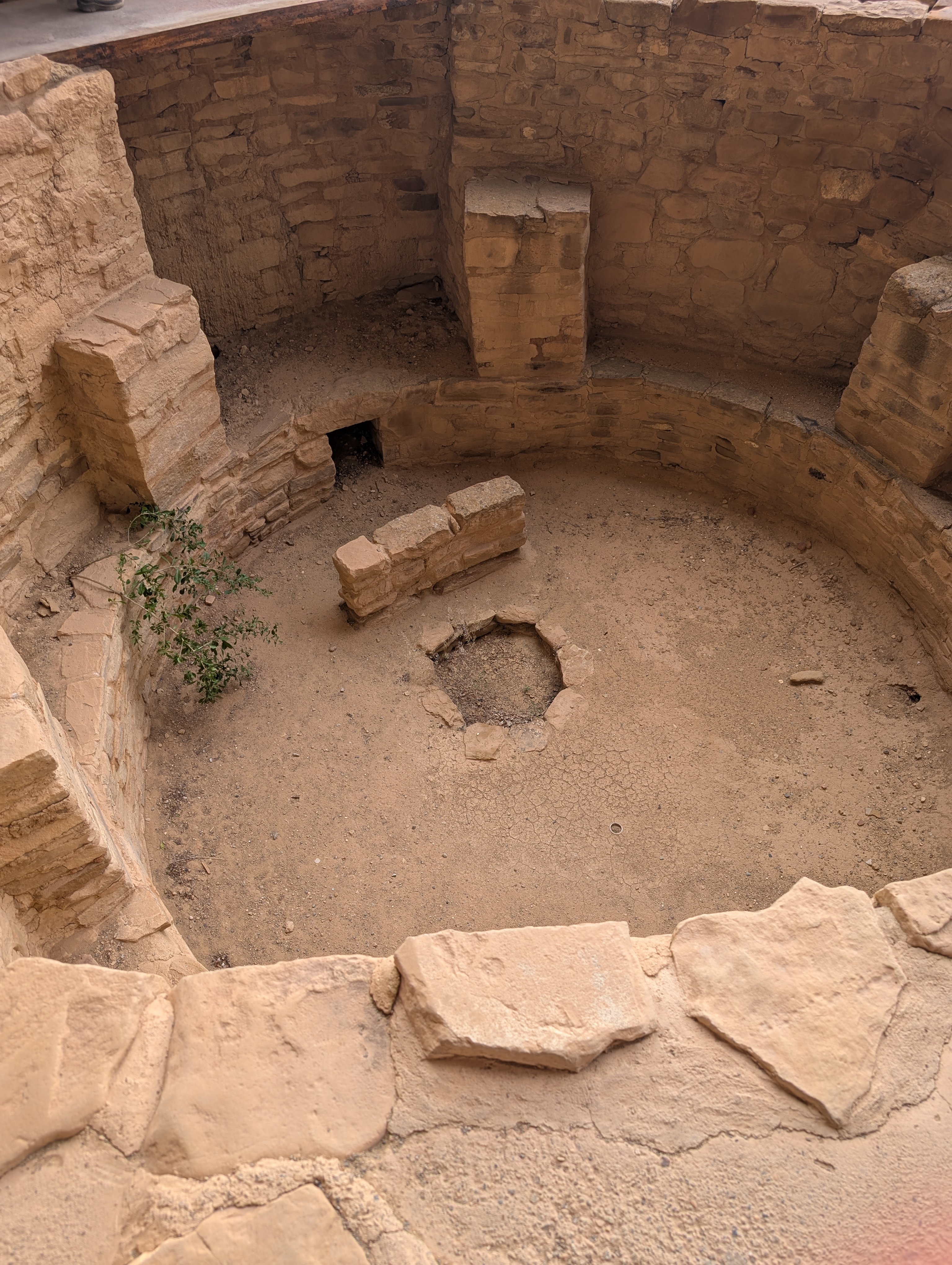
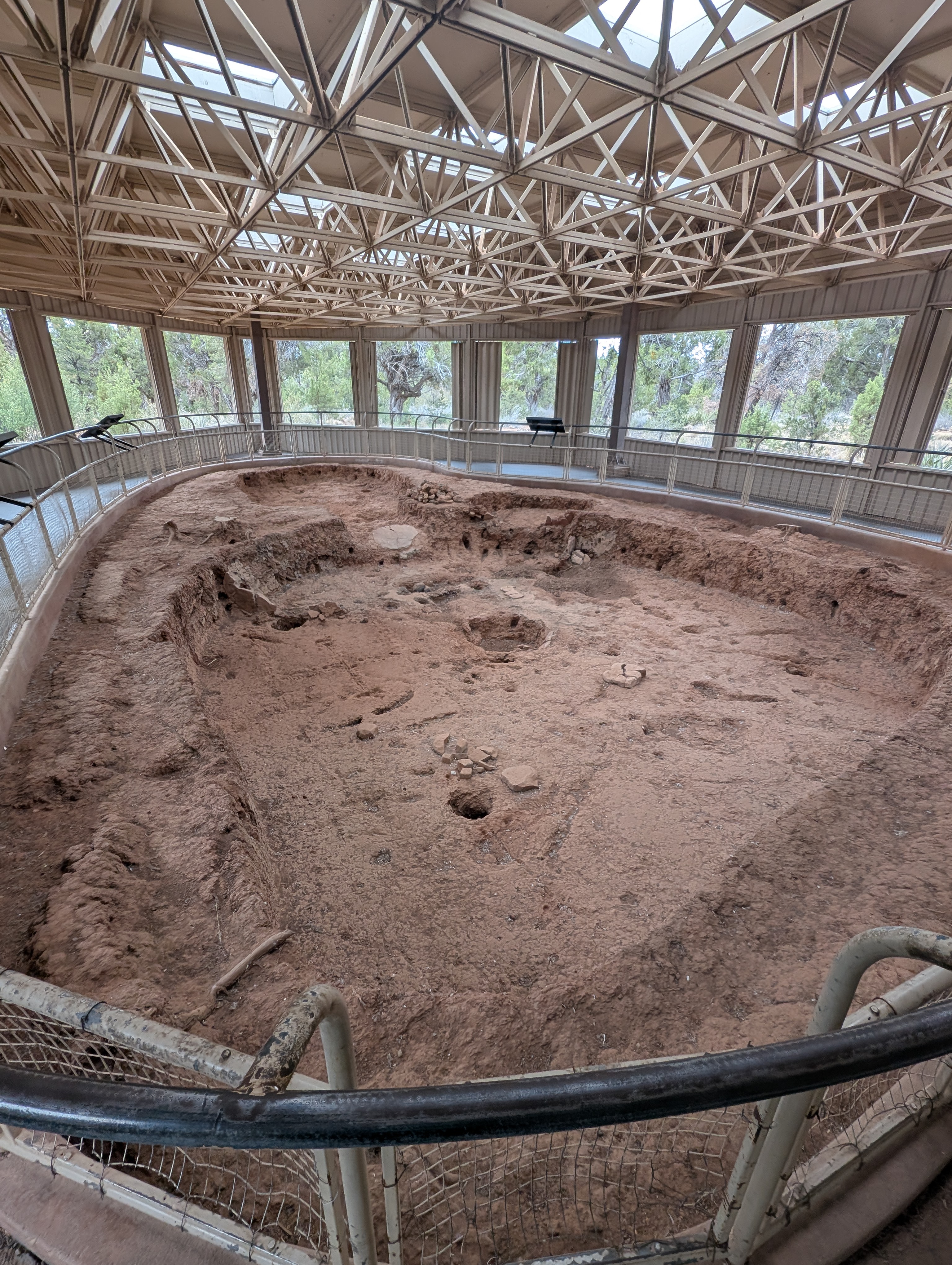
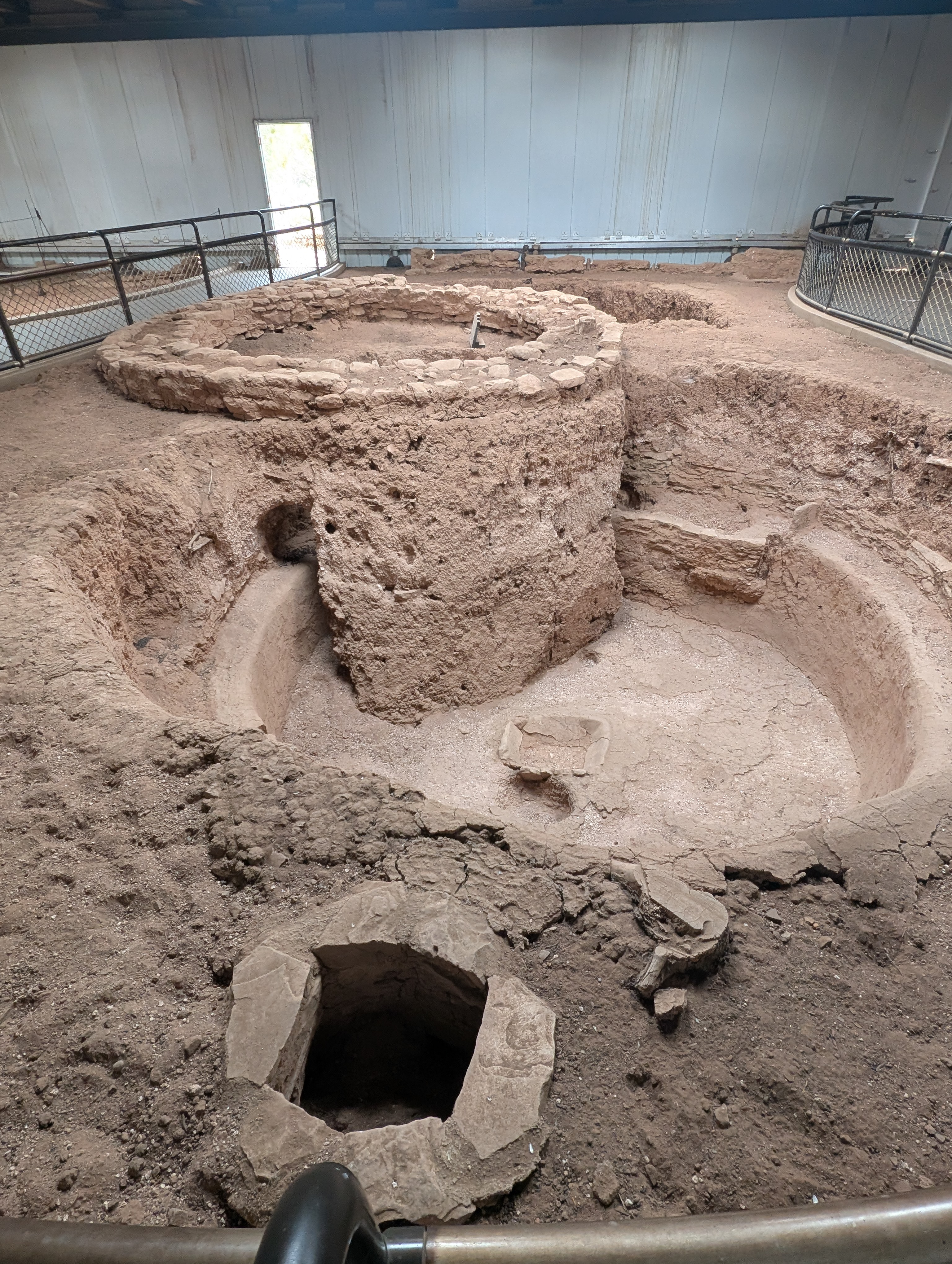
    Once I had finished my bread, I drove through the Mesa Top Loop. There are lots of stops along the loop where you can see the history of the Pueblo dwellings. Pithouses were the first dwellings. They would make a shallow depression in the ground, build walls and a roof with wood, and then seal it with adobe. After every rain season, they’d have to re-seal it. Later, they started using sandstone blocks to construct homes, and eventually, they built the multi-story cliff dwellings.

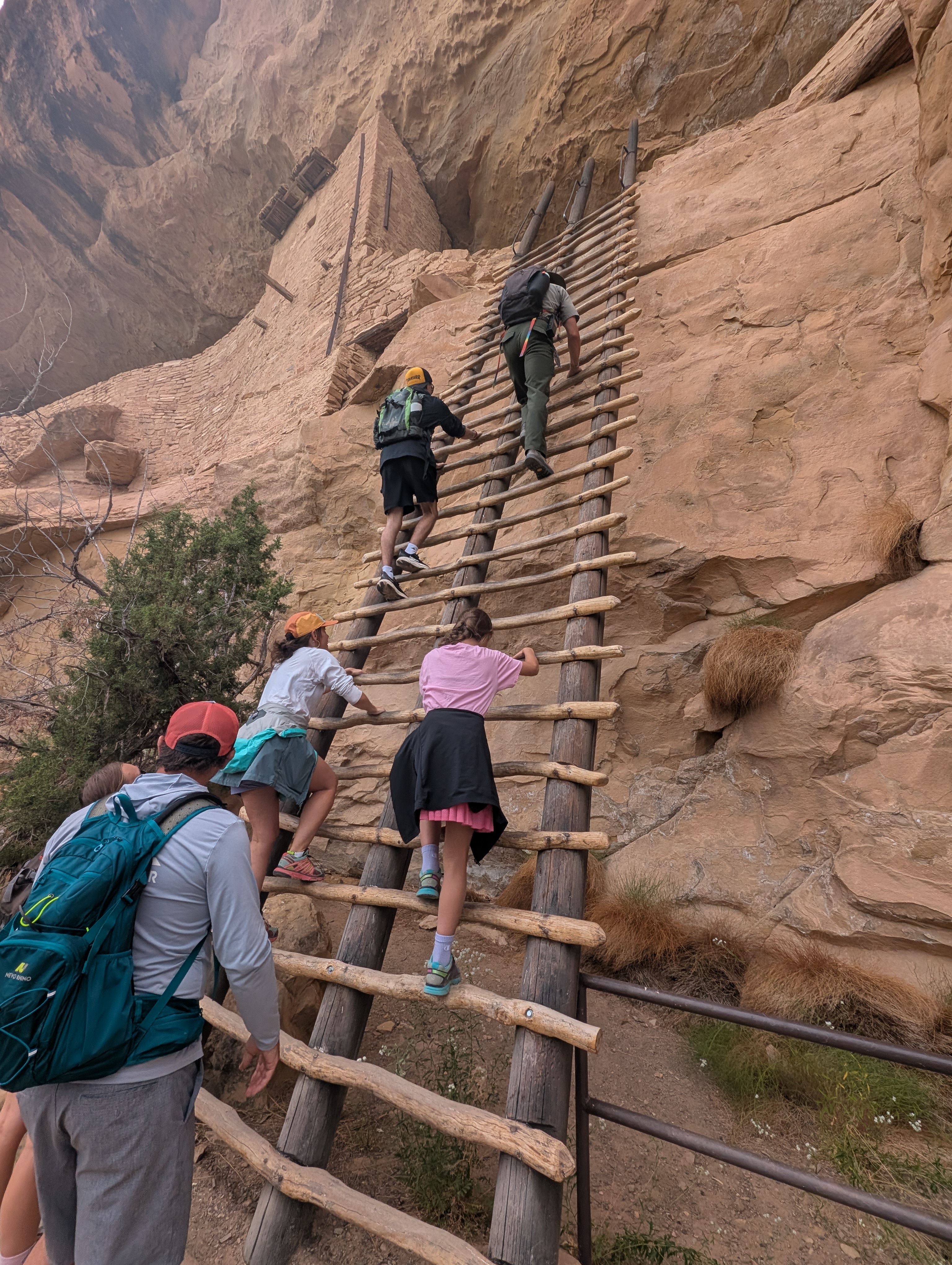
    When I finished the loop, I went to my Balcony House tour. This tour is a little more adventurous. You have to go up multiple ladders, including a 32 foot one. And you have to crawl through a tunnel that’s 18” wide and 26” tall. I didn’t have a problem with the tunnel, but bigger people had to drag themselves sideways to fit through it.

    Some of you have heard of my friend St Medard. He’s the patron saint of weather and he changes the weather for me all the time. It was supposed to rain on Wednesday afternoon and I had asked him to hold the rain until I was driving back to Durango. During the Balcony House tour, it sprinkled for a few minutes, but that was it. After the tour, I stopped to see one more dwelling and then I went to the gift shop to buy my magnet and pin. When I was about to get back into my car to head home it started raining for real. When I got to Durango, it wasn’t raining there anymore, so I never got wet. Once again, St Medard came through for me. He’s the best.

  • Grand Canyon National Park, AZ

    Grand Canyon National Park, AZ

    I wasn’t made for Arizona. The humidity in Sedona and the Grand Canyon has been between 5% and 16% and it’s killing me. I’m a tropical country girl. I need more water in the air. I’ve been waking up with a bloody nose and chugging much more water than usual, which means I need to pee more than usual. I haven’t been sleeping well because I constantly wake up to pee. When I wake up, I’m really thirsty and my mouth is really dry, which means I have to chug more water, which means I’ll have to wake up to pee again in a few hours. And if I didn’t chug enough water, I wake up with a dehydration headache. There’s no way to win. There should be a law mandating humidifiers in all Airbnbs in Arizona.

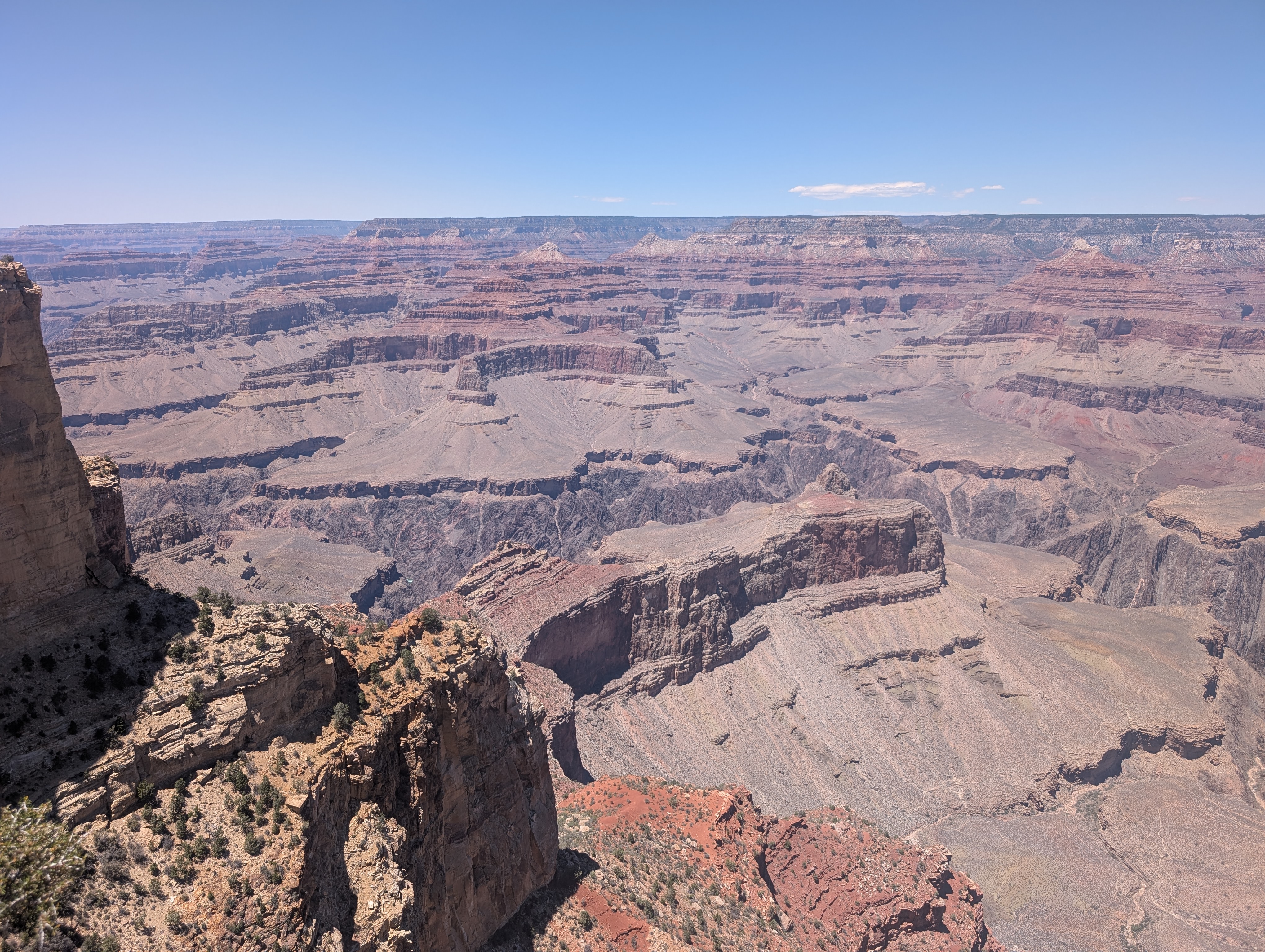
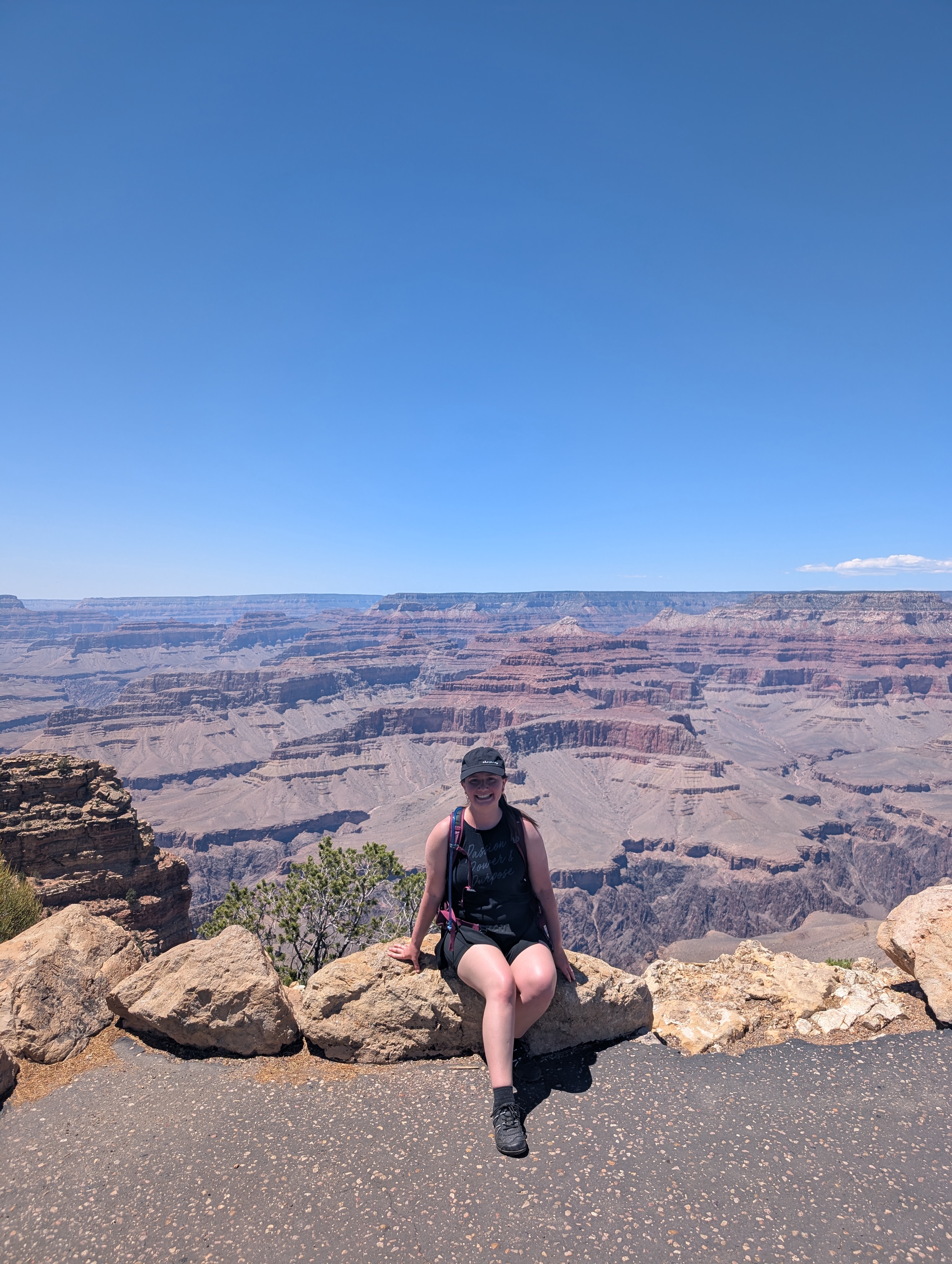
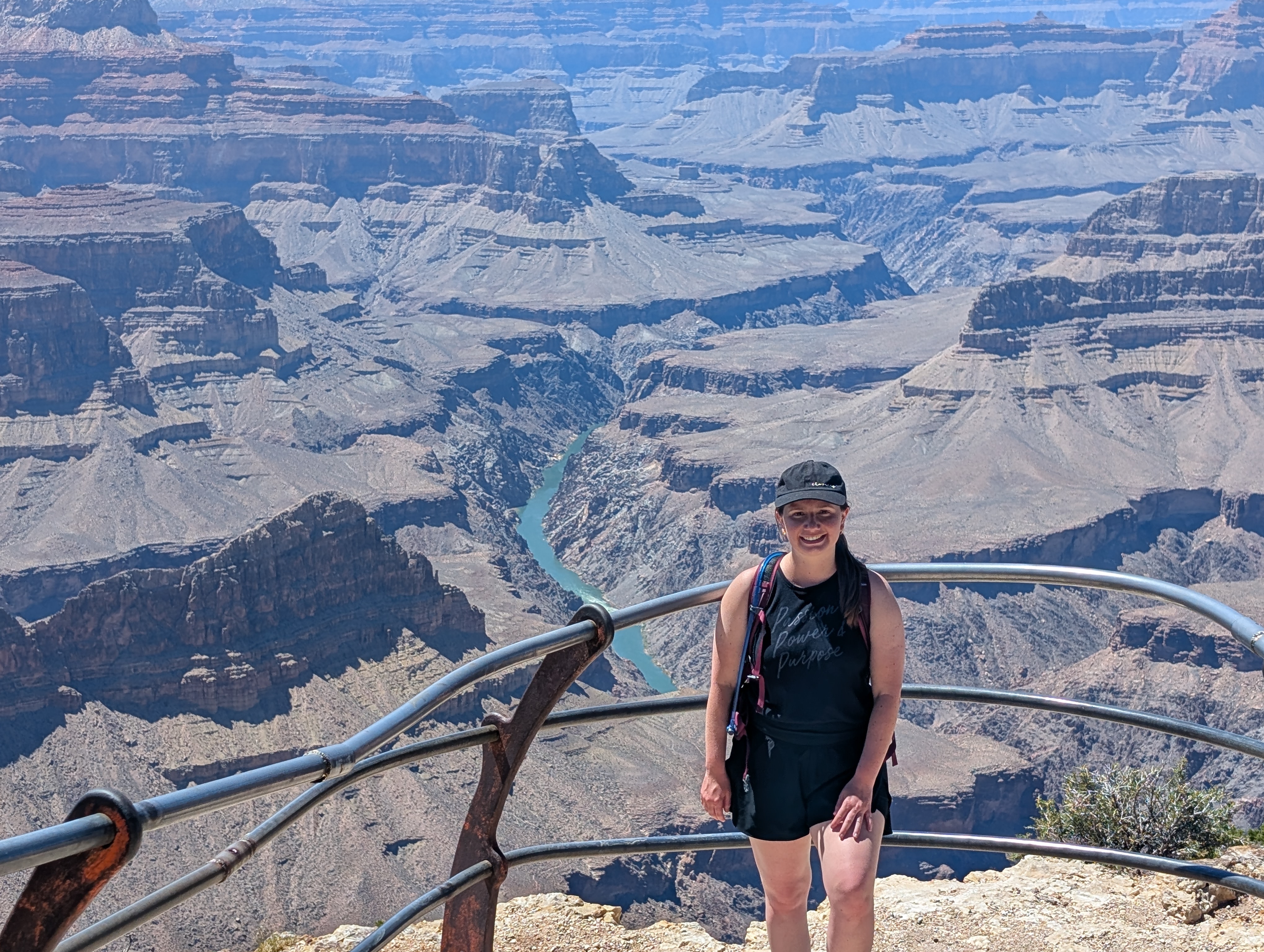
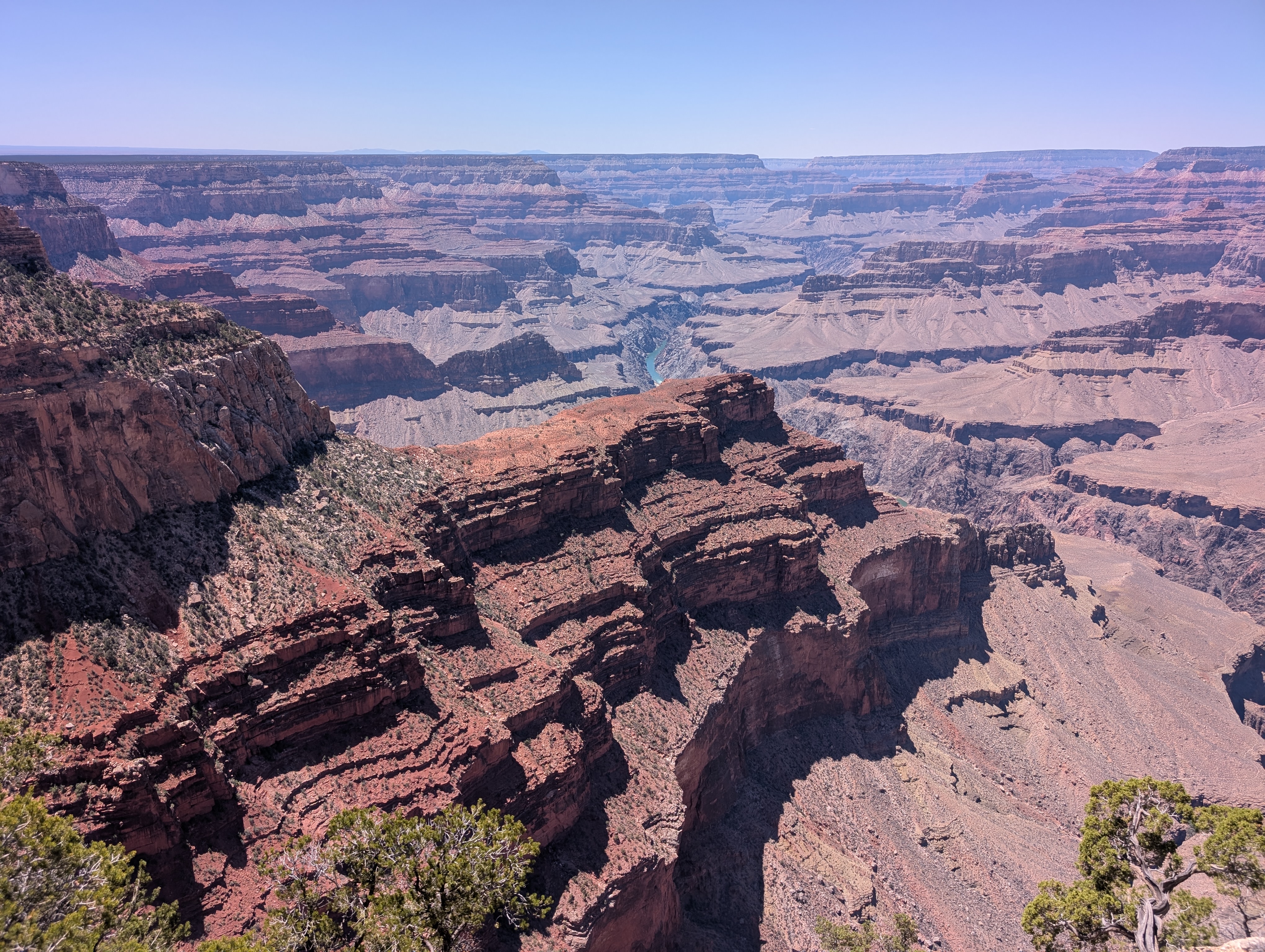
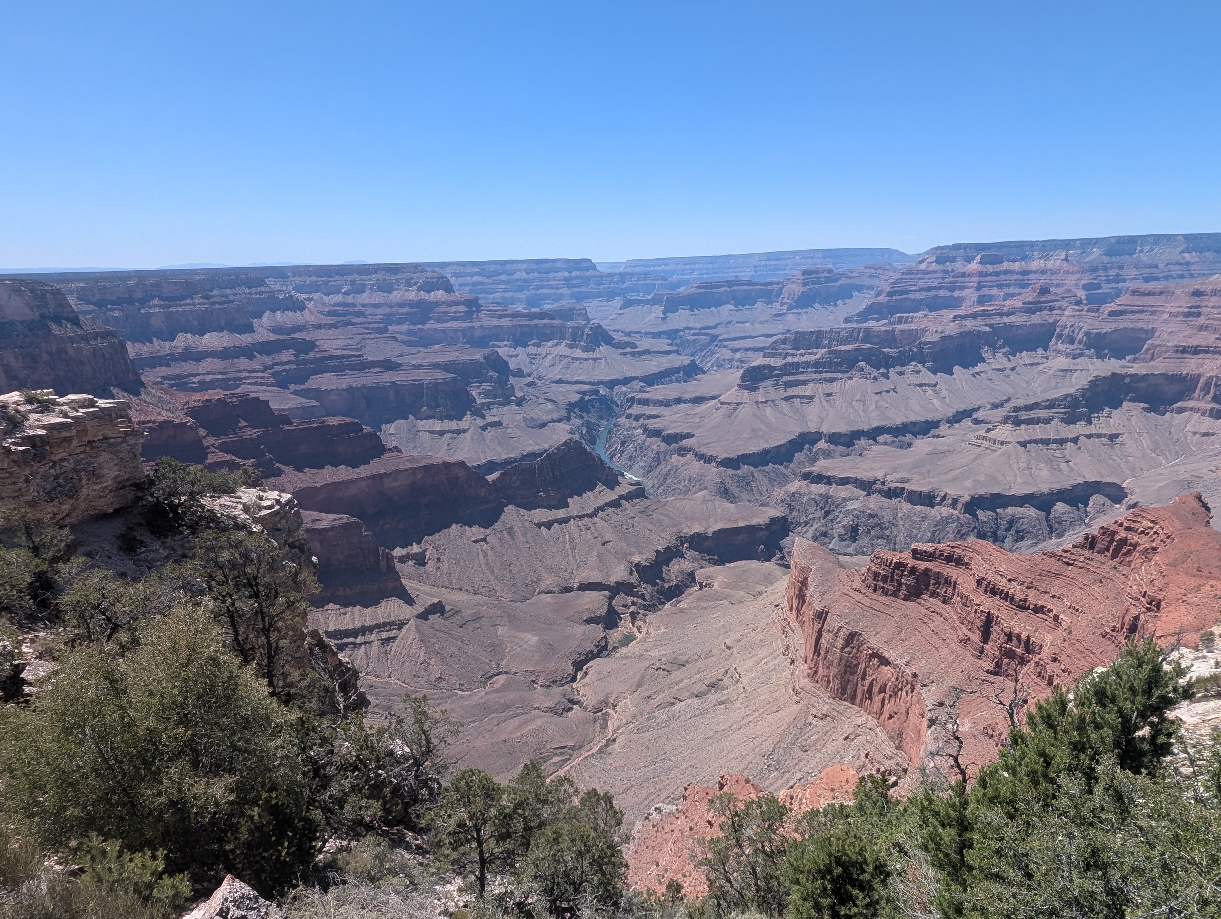
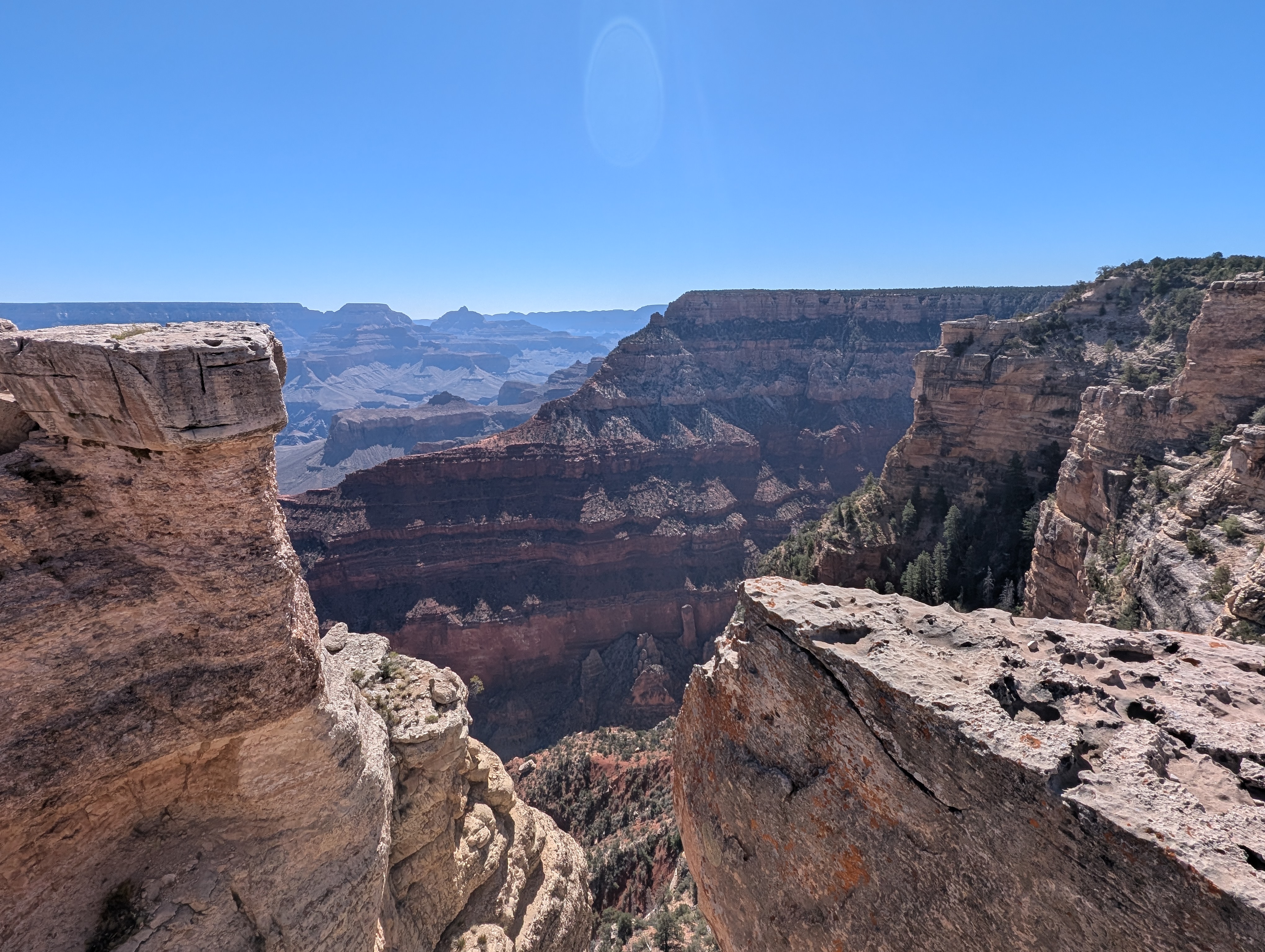
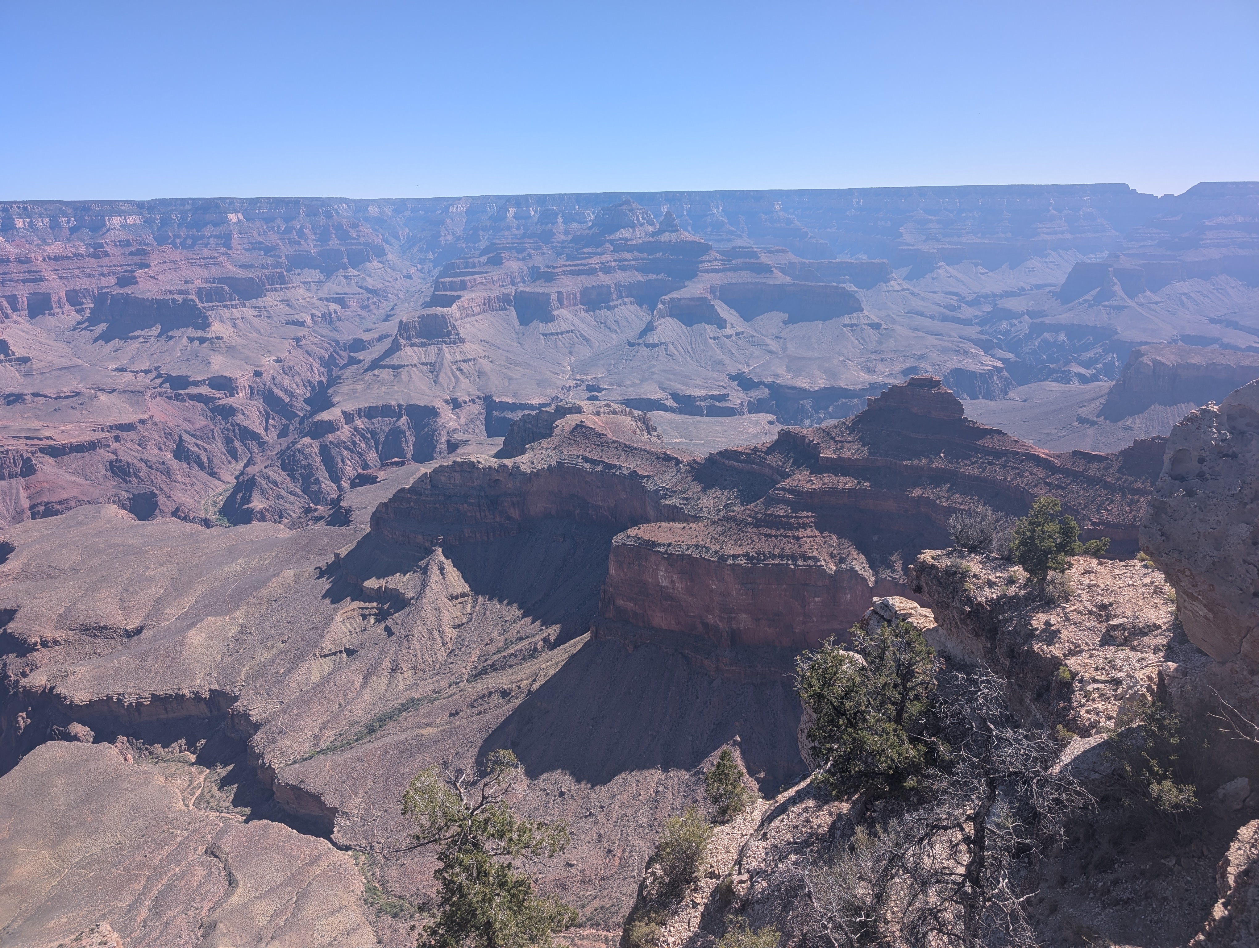
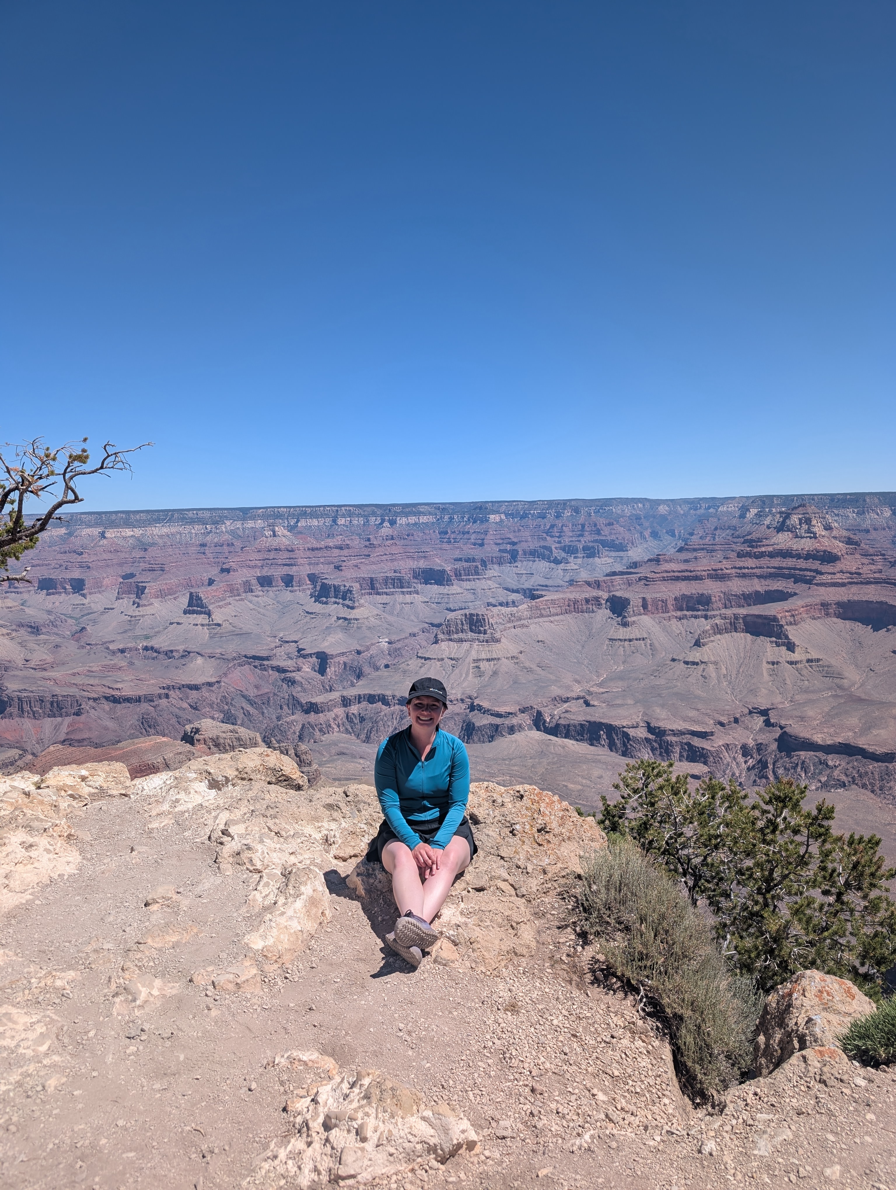
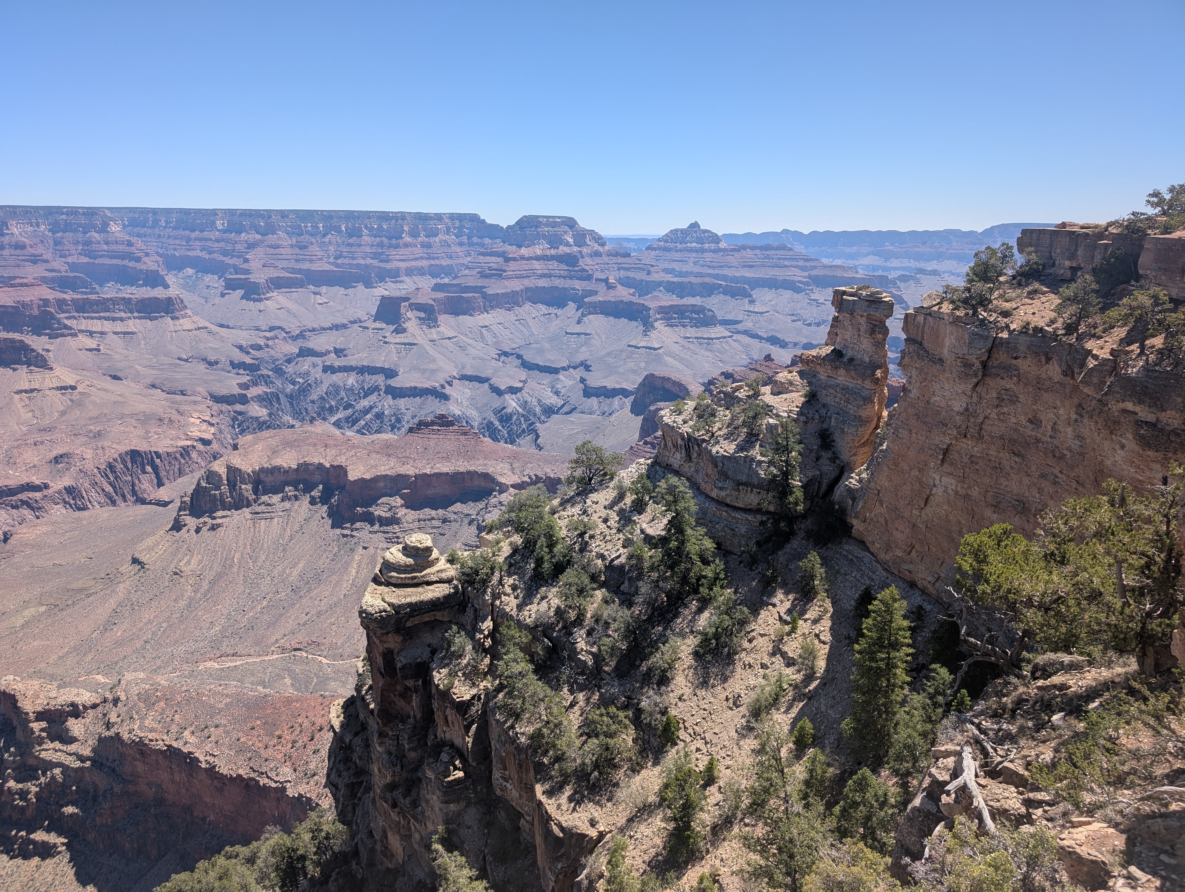
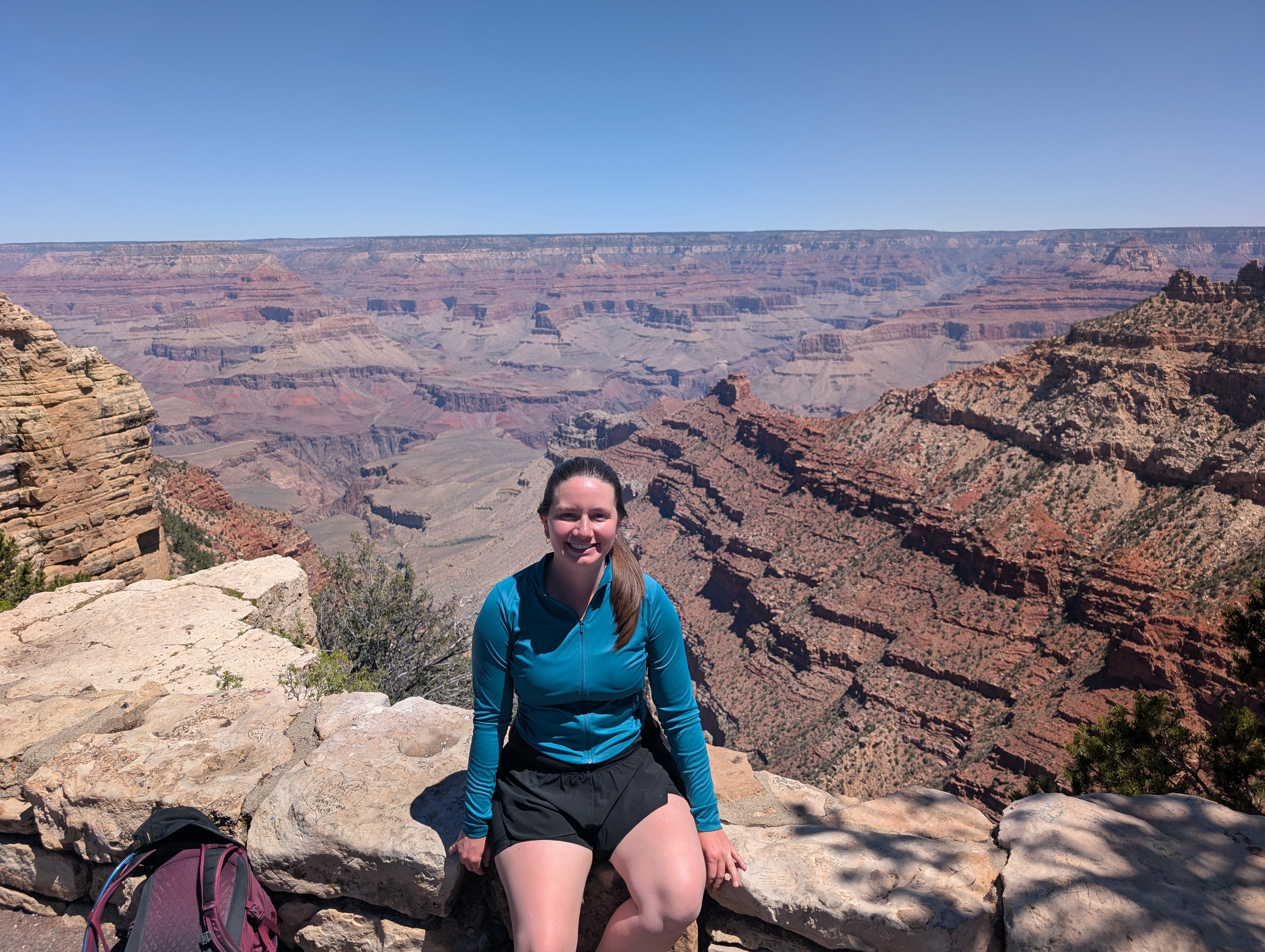
    Anyway, I arrived at the Grand Canyon on Friday afternoon. My plan was to try to walk 8 of the 13 miles of the South Rim Trail, which, as the name suggests, goes along the south rim of the canyon. There are shuttles that stop at multiple view points along the rim, so I was planning to hop on the shuttle if I got too tired and couldn’t walk the 8 miles. As I walked, I kept wondering how there could be such a big hole in the middle of the country. I later learned that we have the Colorado River to thank for that. It carved the canyon over millions of years in its quest to get to the ocean. It’s incredible to think that the Grand Canyon started out as a relatively flat plateau.
    It turns out that I greatly underestimated the effects of the afternoon sun on a trail with no shade. After 2.5 miles, I stopped to ask myself why I was continuing to walk. I realized that the only reason was pride. I wanted to be able to say that I walked the 8 miles. I reminded myself that the point of this was to enjoy it and I really wasn’t enjoying it. I couldn’t even fully appreciate the views of the canyon because I could only think about putting one foot in front of the other in that heat. So I got on the shuttle.
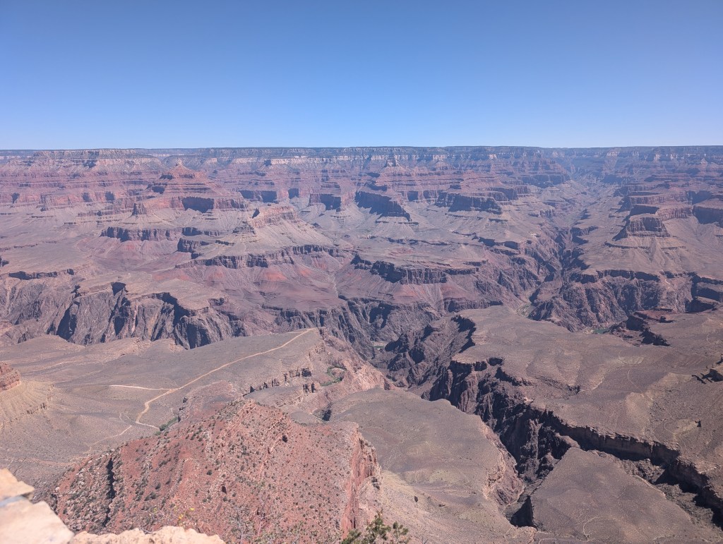
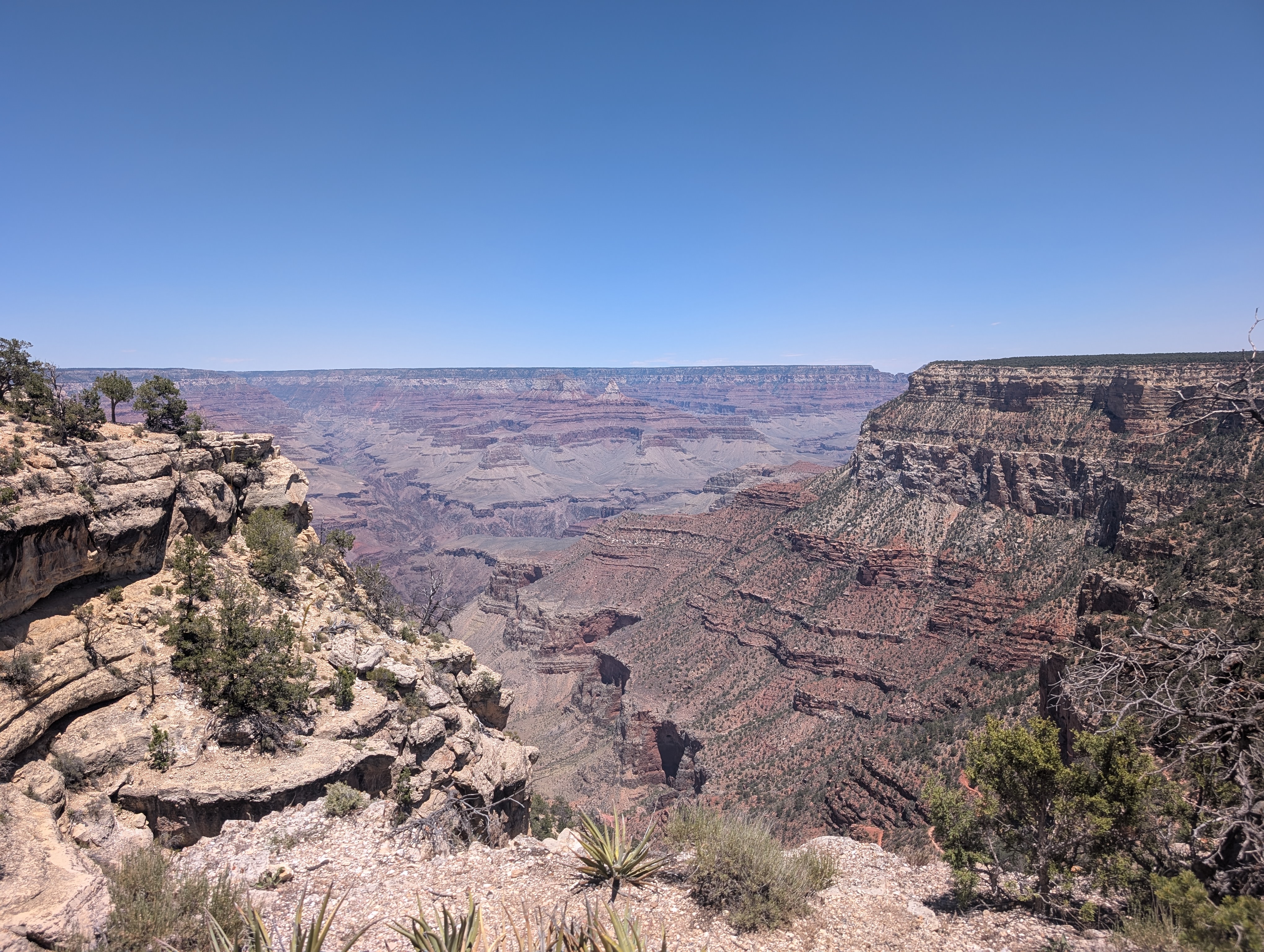
    At the next shuttle stop, the driver announced that the walk to the next viewpoint was on an unpaved 1 mi trail with amazing views of the Colorado River. Now he was speaking my language. Most of the trail is paved and I don’t know what it is about an unpaved trail that makes it more exciting, but it gave me the energy to walk that additional mile. There were, in fact, amazing views of the Colorado River. By the time I got to the next shuttle stop, the heat exhaustion had kicked in again, so I took the shuttle to the rest of the stops.

    When I got back to my car, I realized that I was sunburned. I hadn’t gotten sunburned on this trip until now, which is impressive. My arms are actually tanned! This is new for me. I usually burn, peel, and then I’m white again. I guess that with all the time outdoors without sunscreen in the past few months, I got enough sunlight to tan over time, but not enough to burn. Surprisingly, I did put sunscreen on for the Grand Canyon, so the only conclusion is that the sunscreen caused me to burn. Just kidding, it was probably the fact that I walked a trail without any shade in the peak afternoon sun. Only my shoulders and legs are sunburned. Those weren’t tanned because they hadn’t gotten as much sun when I was hiking in cooler temperatures earlier in the year. You probably don’t care about any of this, but I need to document the results of my unintentional tanning experiment for future reference.

    My plan was to wake up at 5 am this morning to hike into the canyon. It’s 5-10° hotter in the canyon than at the rim, so you have to hike early. However, everything that I mentioned in my rant in the first paragraph happened last night. By the time 5 am rolled around, I had a headache and hiking into a hot canyon with a headache seemed like a bad idea. So I slept until 6:30 am and went to the park after breakfast. Weather-wise, I could have still hiked when I got to the park, but I still had a tiny headache. At 10 am I felt great and ready to hike, but it was too late to start at that point. Like Sedona, I need to come back to the Grand Canyon when it’s cooler, since we’ve established that 5 am wake-ups are not my thing. I’ll have to remember to pack a humidifier.

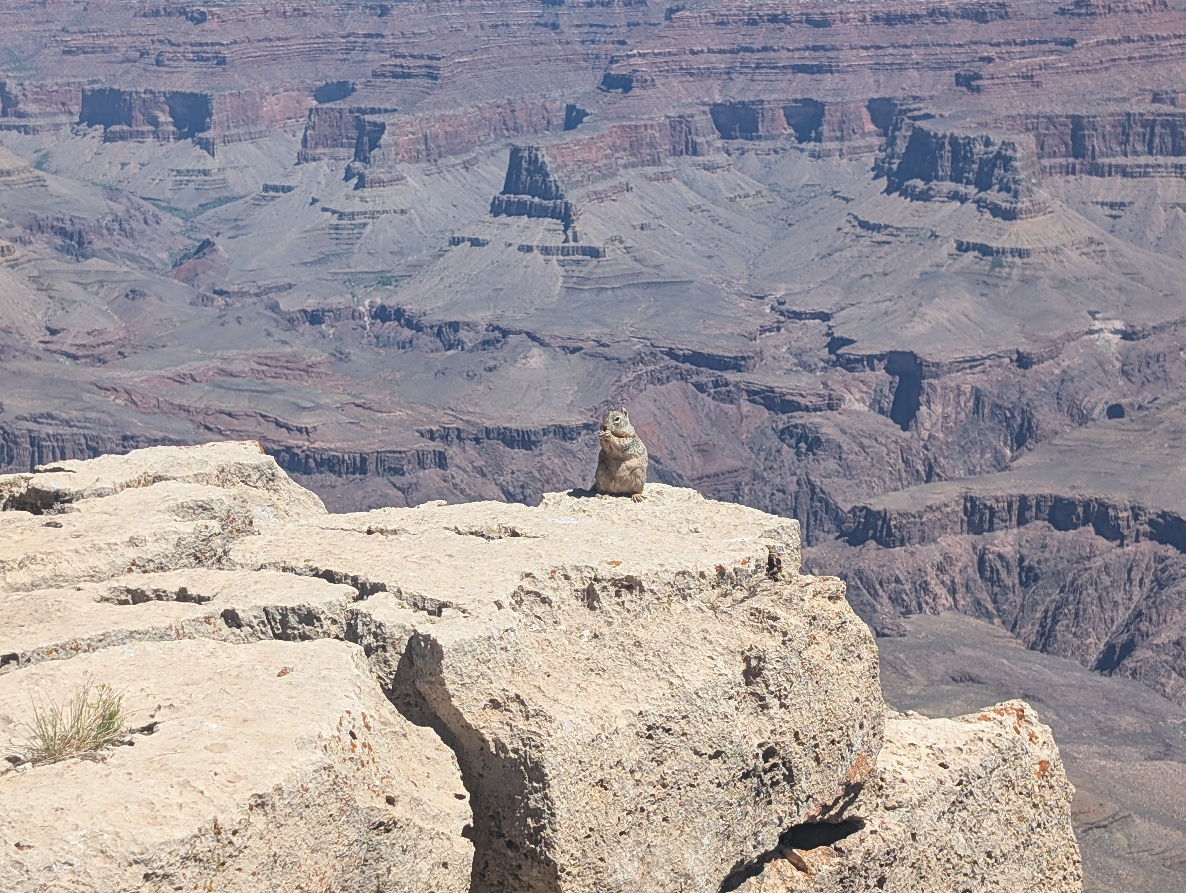
    Instead of hiking, I saw the 7 miles of the south rim that I hadn’t seen the day before. I took the shuttle to all the stops today. At one of the stops, I saw the great-great-great-(496 more “great”)-great grandson of the squirrel from the movie Ice Age.

    After seeing the rest of the rim, I went back to my Airbnb to watch another depressing Ecuador vs Curaçao soccer game. Now I’m going to chug water before bed so I’ll wake up 20 times to pee but can hopefully avoid a headache. Tomorrow I’m heading to Durango, Colorado.

  • Joshua Tree National Park, CA

    Joshua Tree National Park, CA

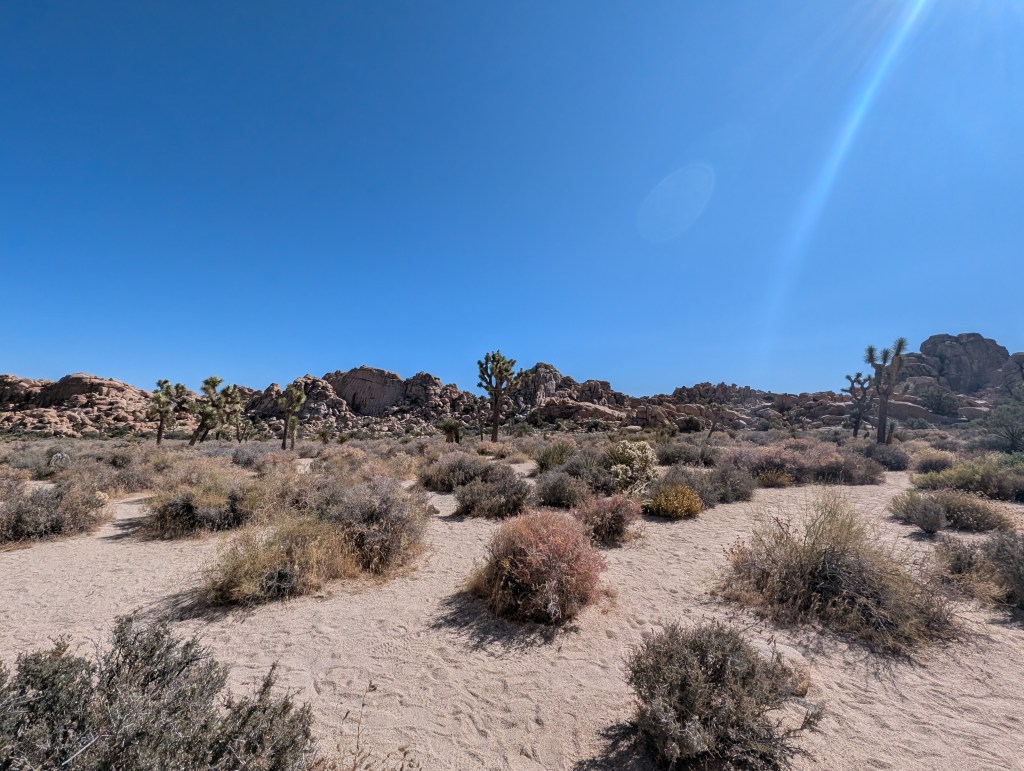
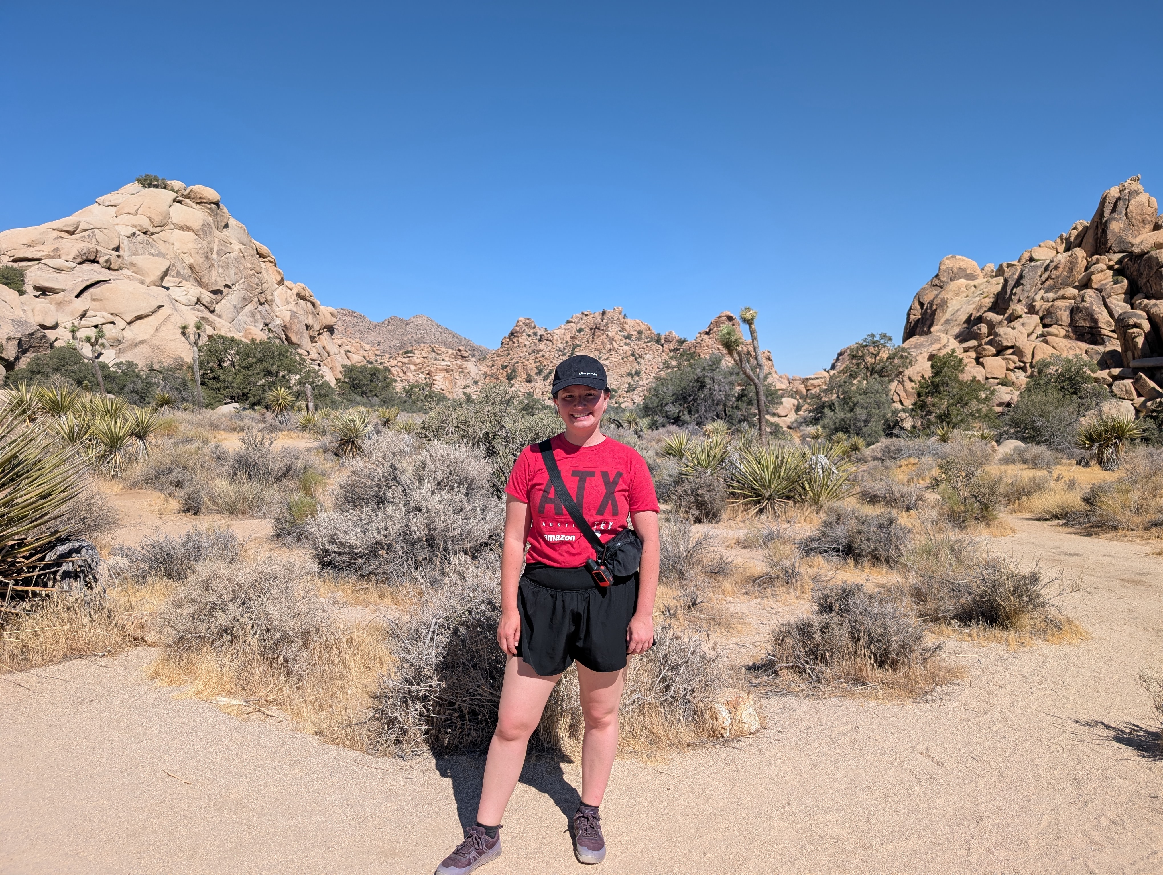
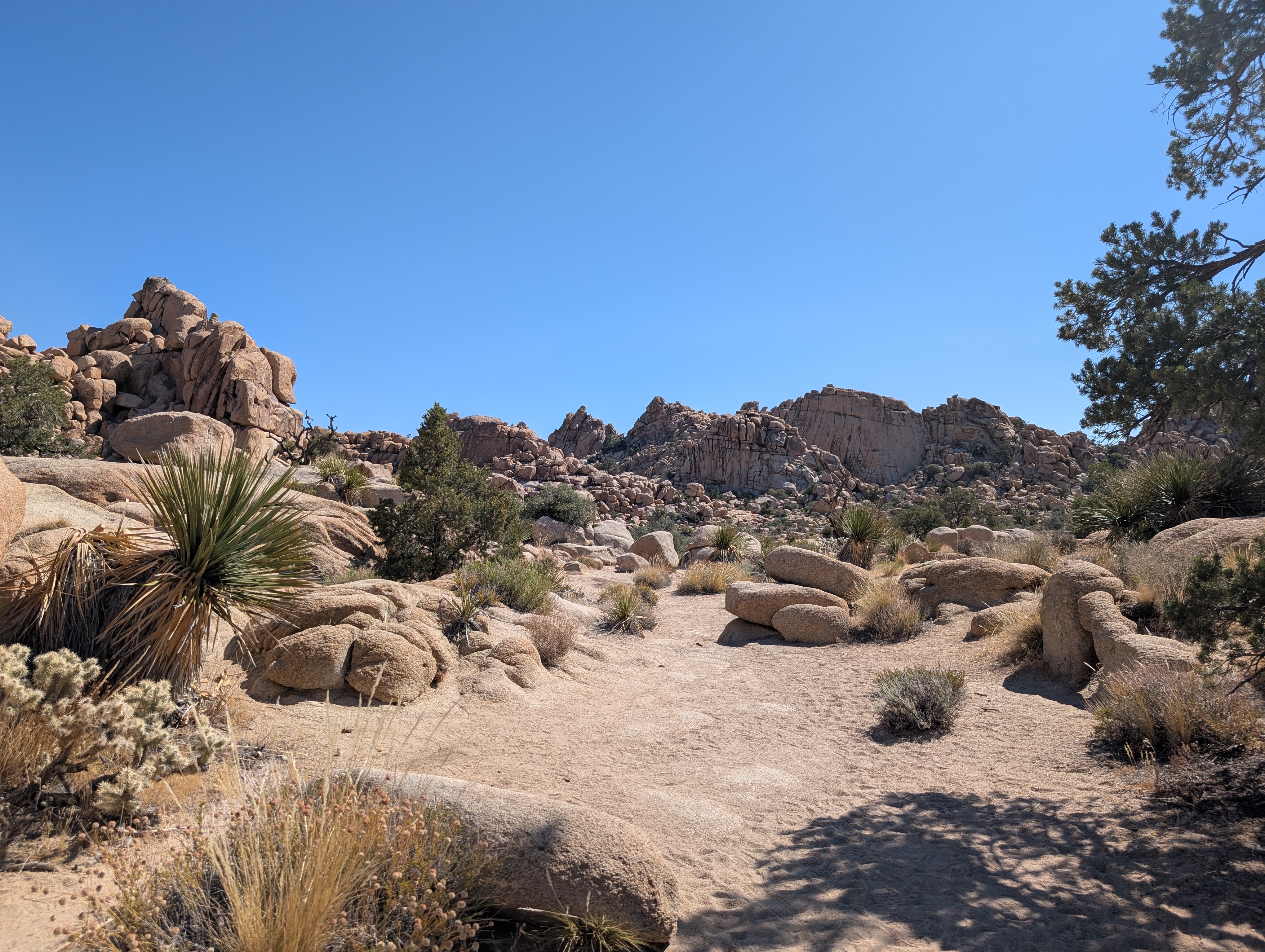
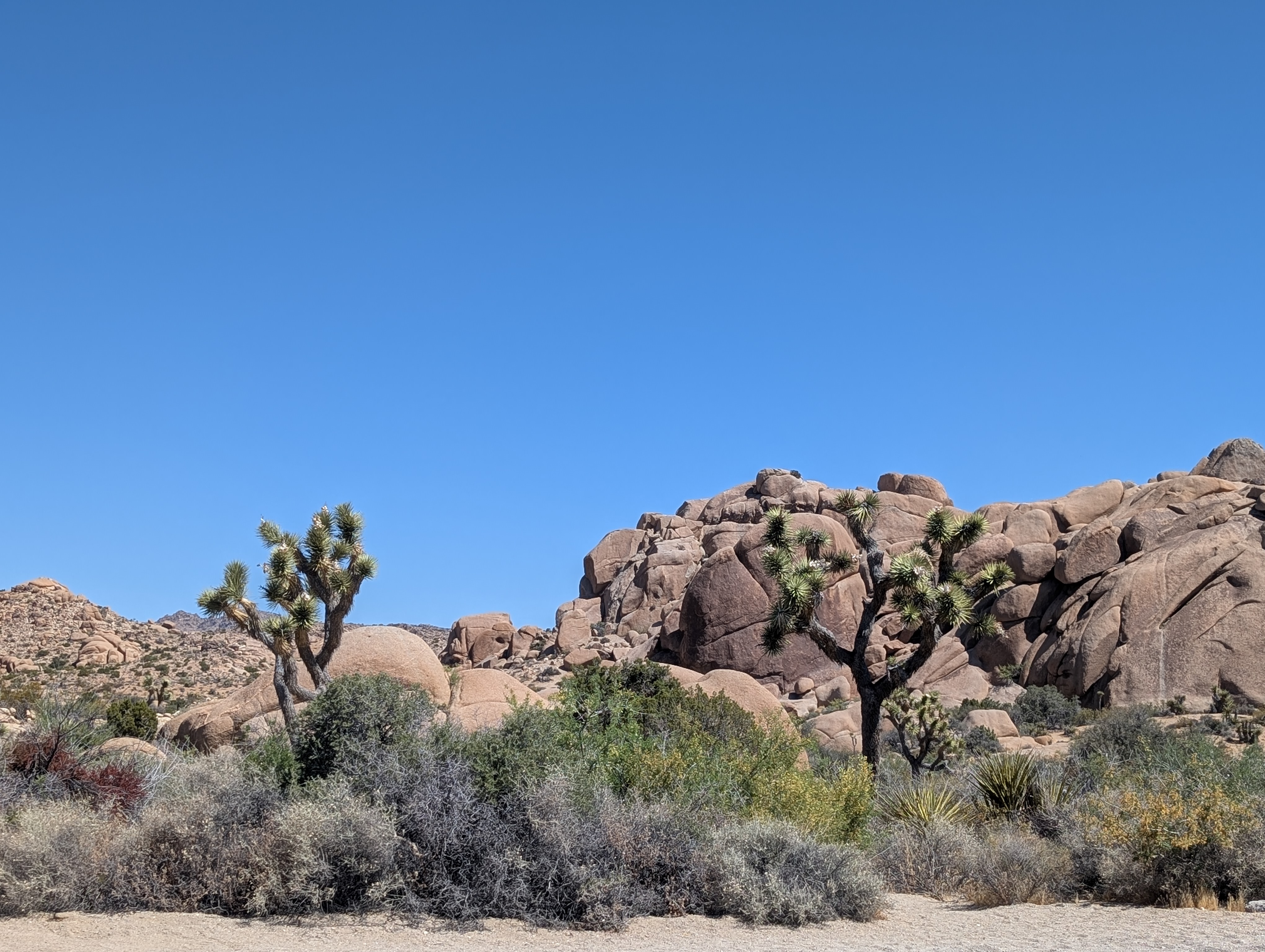
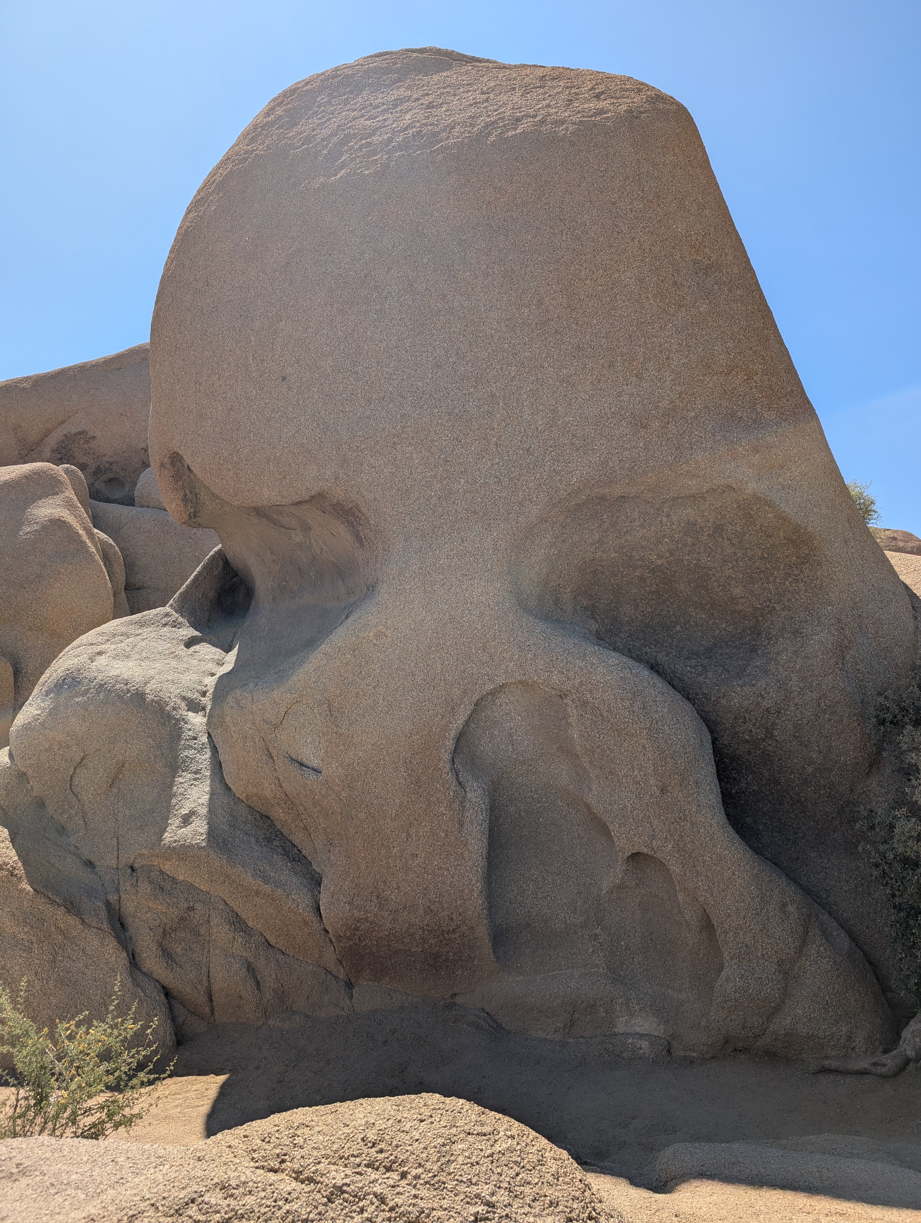
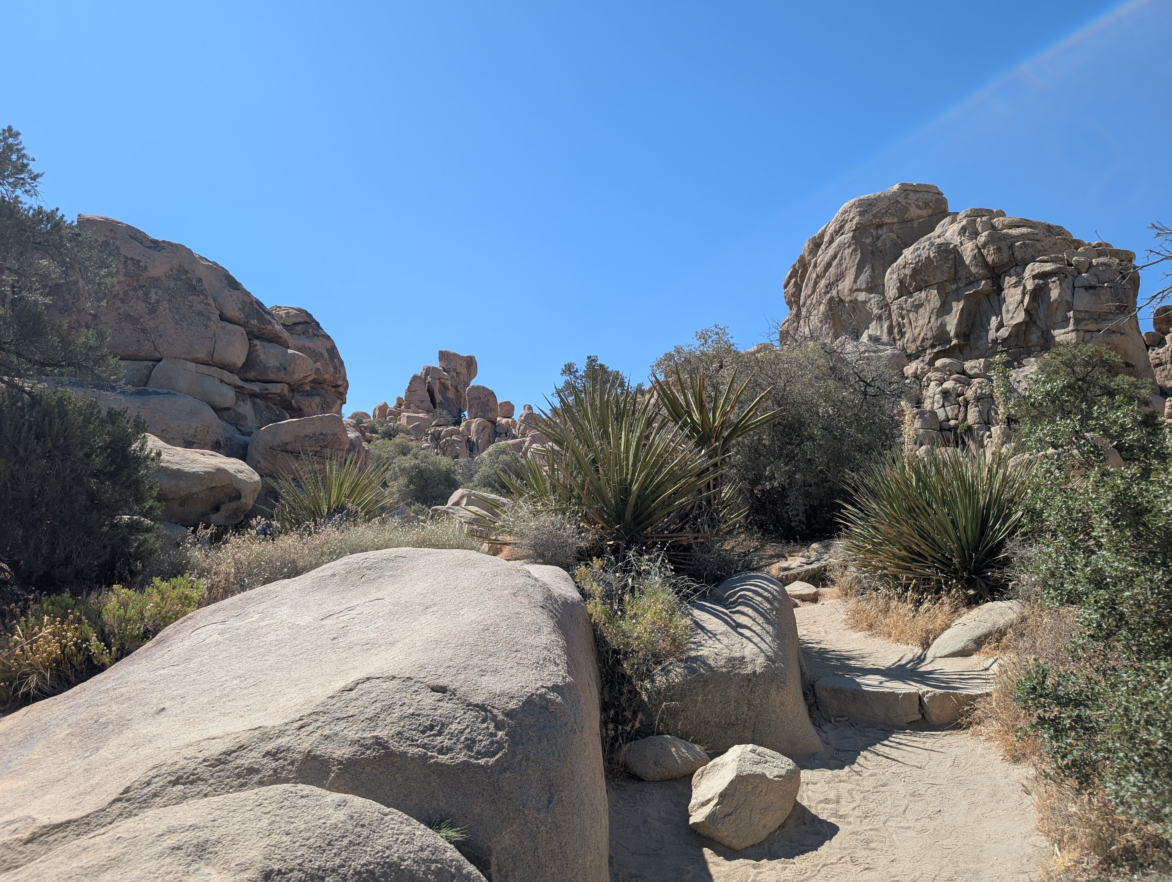
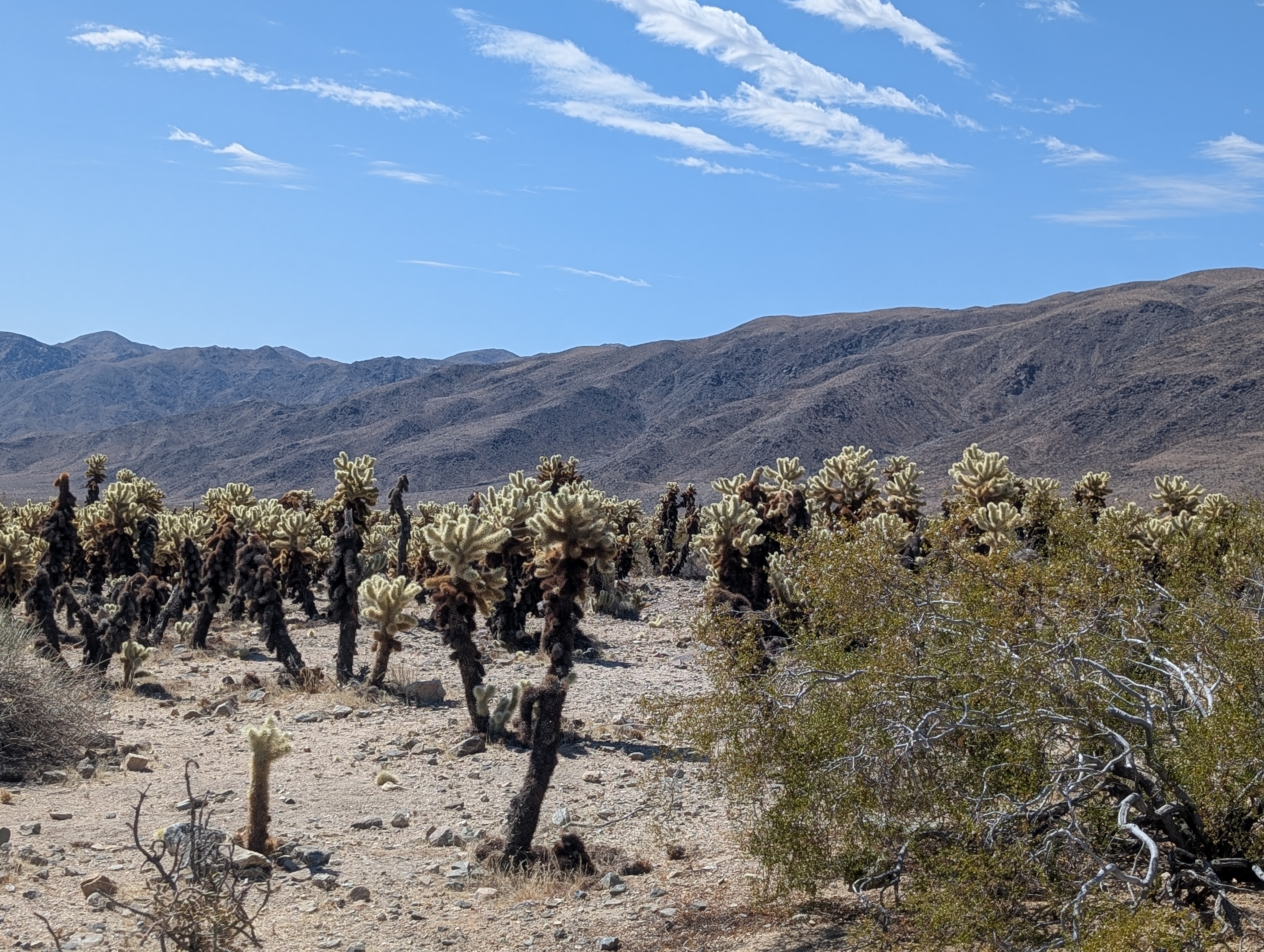
    I made it to the desert and unlocked a new fear: rattlesnakes. Luckily, I didn’t see any in my 2 hours at Joshua Tree National Park yesterday morning. I only did one quick hike to get a sense of the landscape and then drove through the park. There is a lot of sand and rocks and shrubs and joshua trees. That’s about it. It was cool to see, but I don’t feel the need to go back.

    I only had a few hours to explore the park, partly because it gets really hot there at this time of the year and partly because I had to drive to Phoenix and be there in time to pick up my friend Chiamaka at the airport. Initially, Chiamaka was going to meet me on my road trip in Asheville in February, but she had too much going on around that time. Then, she bought a plane ticket to meet me in Chicago in April, but a last minute work trip came up in those days, so we had to come up with a new plan. She has to be in San Francisco this week, so she thought about flying to Phoenix and spending a few days in Sedona with me. It didn’t make sense for her to drive 2 hours to and from Sedona, so I updated my itinerary to spend a few days in Phoenix (really, Scottsdale) with her and go to Sedona on my own after that.

  • Sequoia & Kings Canyon National Parks, CA

    Sequoia & Kings Canyon National Parks, CA

    Driving through the Pacific Northwest and California has been really cool. I’m driving along for hours, minding my own business, when all of a sudden, I turn a corner and there’s a huge mountain or mountain range in front of me. It’s a pretty awesome surprise. Sometimes, the mountains stay with me for the rest of the drive. Other times, they disappear when I turn another corner and I wonder if I’m going to see them again every time the highway turns a little.

    That is exactly what happened on my drive from Sacramento to Kings Canyon and Sequoia National Parks. I’m not sure which mountains I saw though. Maybe the Sierra Nevada? My Airbnb is in Shady Cove, an hour drive to each of the parks and then it’s another hour to various hikes in the parks. I was not looking forward to all that driving. Even though I had a restful weekend in Sacramento, I was exhausted when I arrived in Shady Cove. I keep trying to figure my body out because I’m sometimes exhausted when I think I should be feeling great and I sometimes feel energized when I think I should be feeling like crap. But there are too many variables, so I haven’t been able to figure it out. I’m at least trying to get better at listening to what my body needs each day.

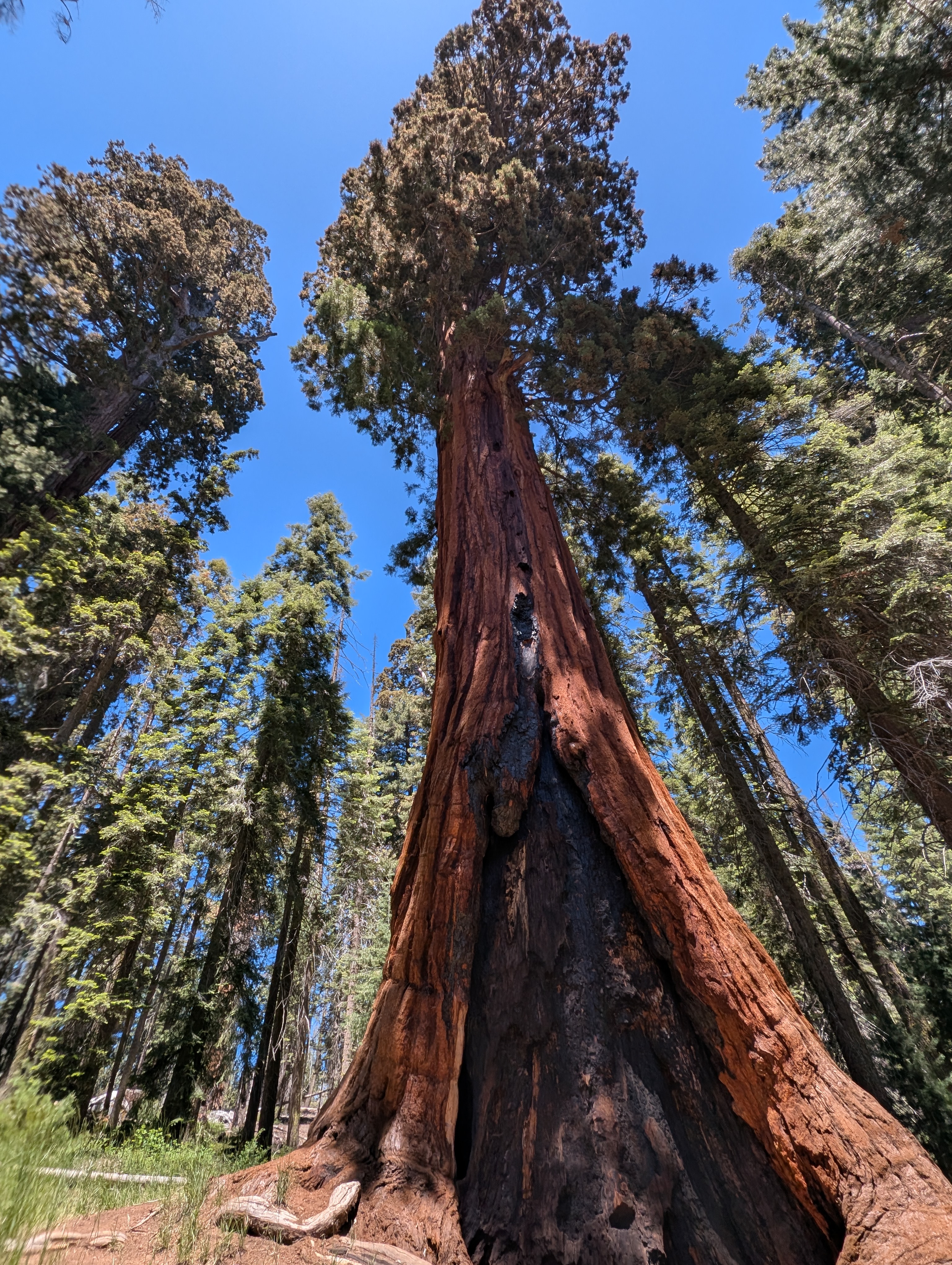
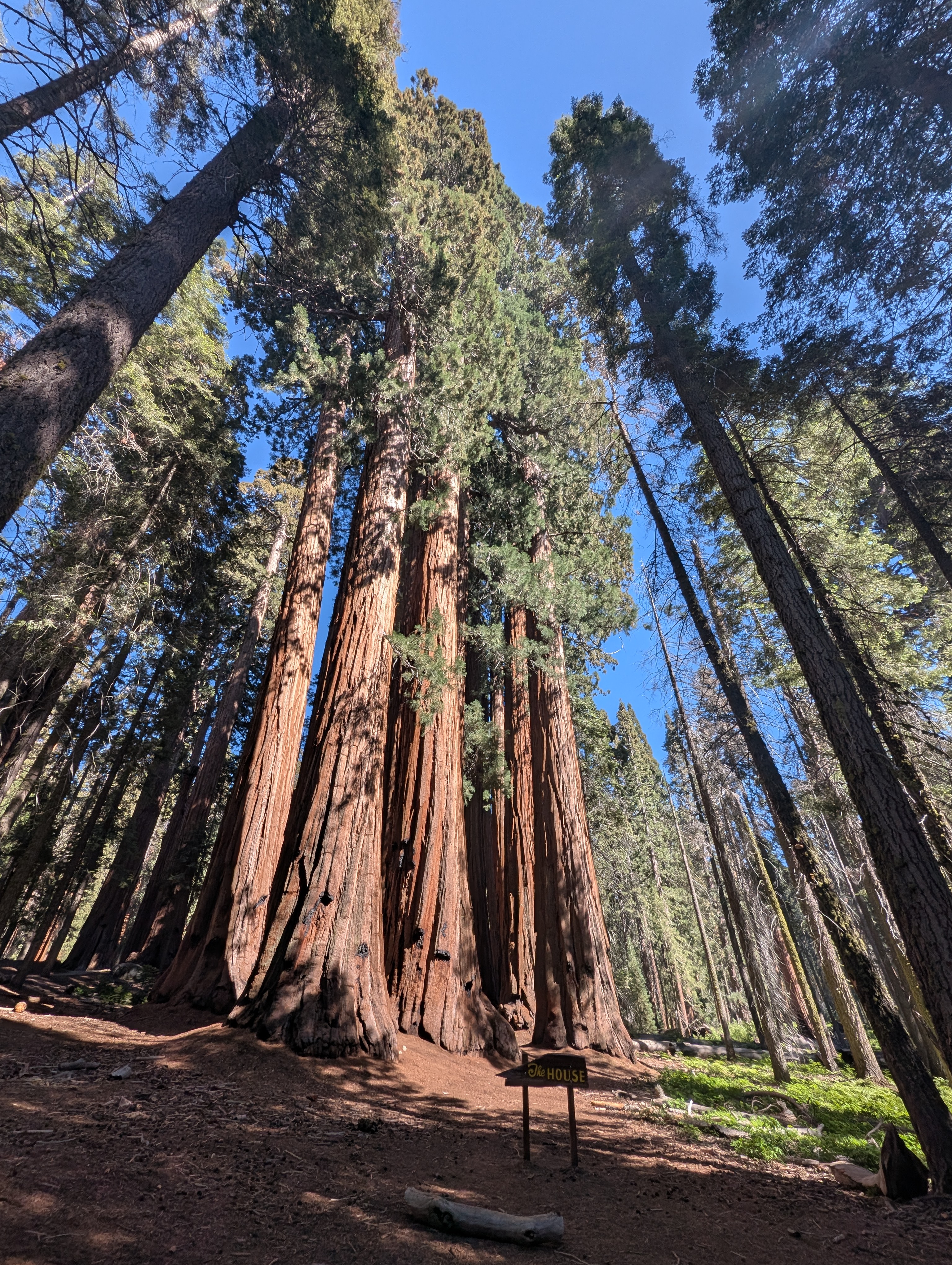
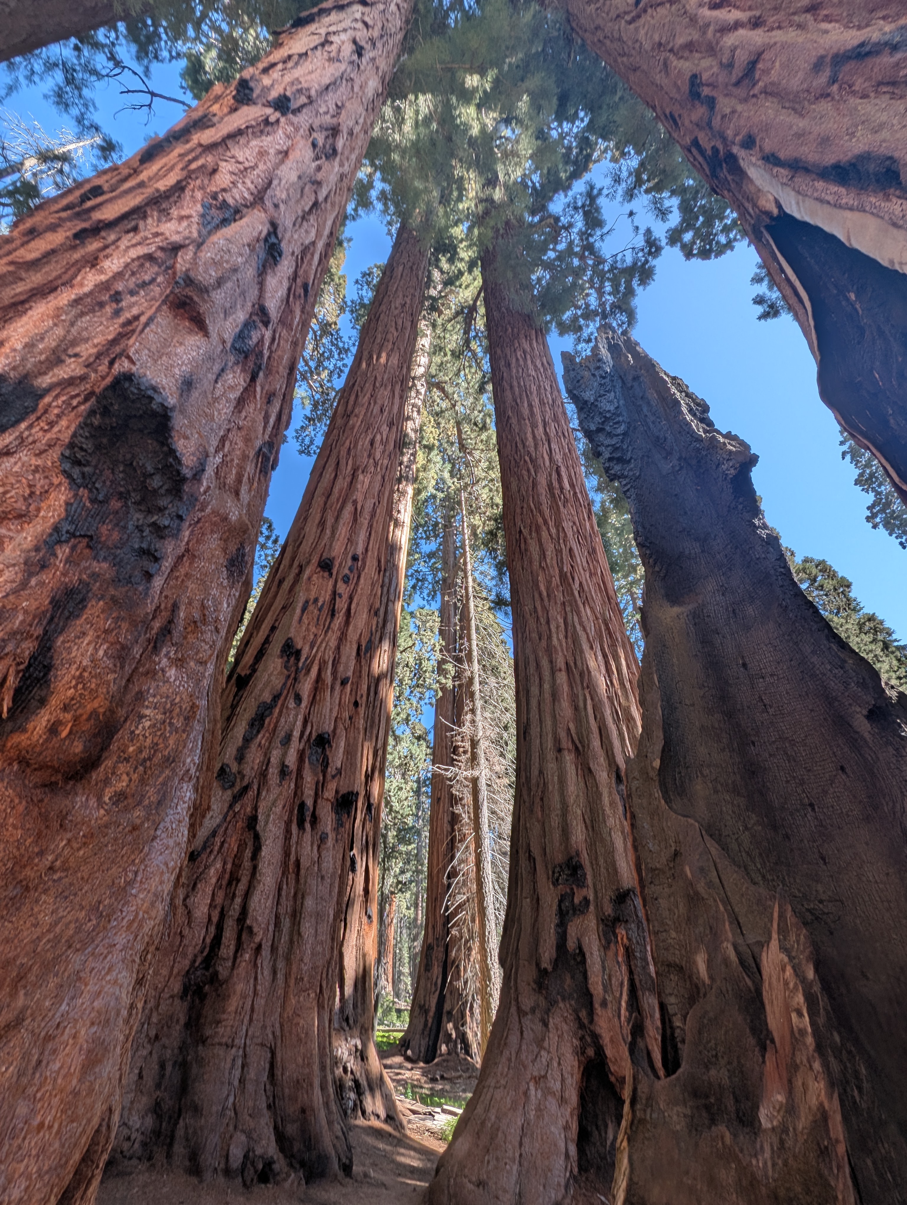
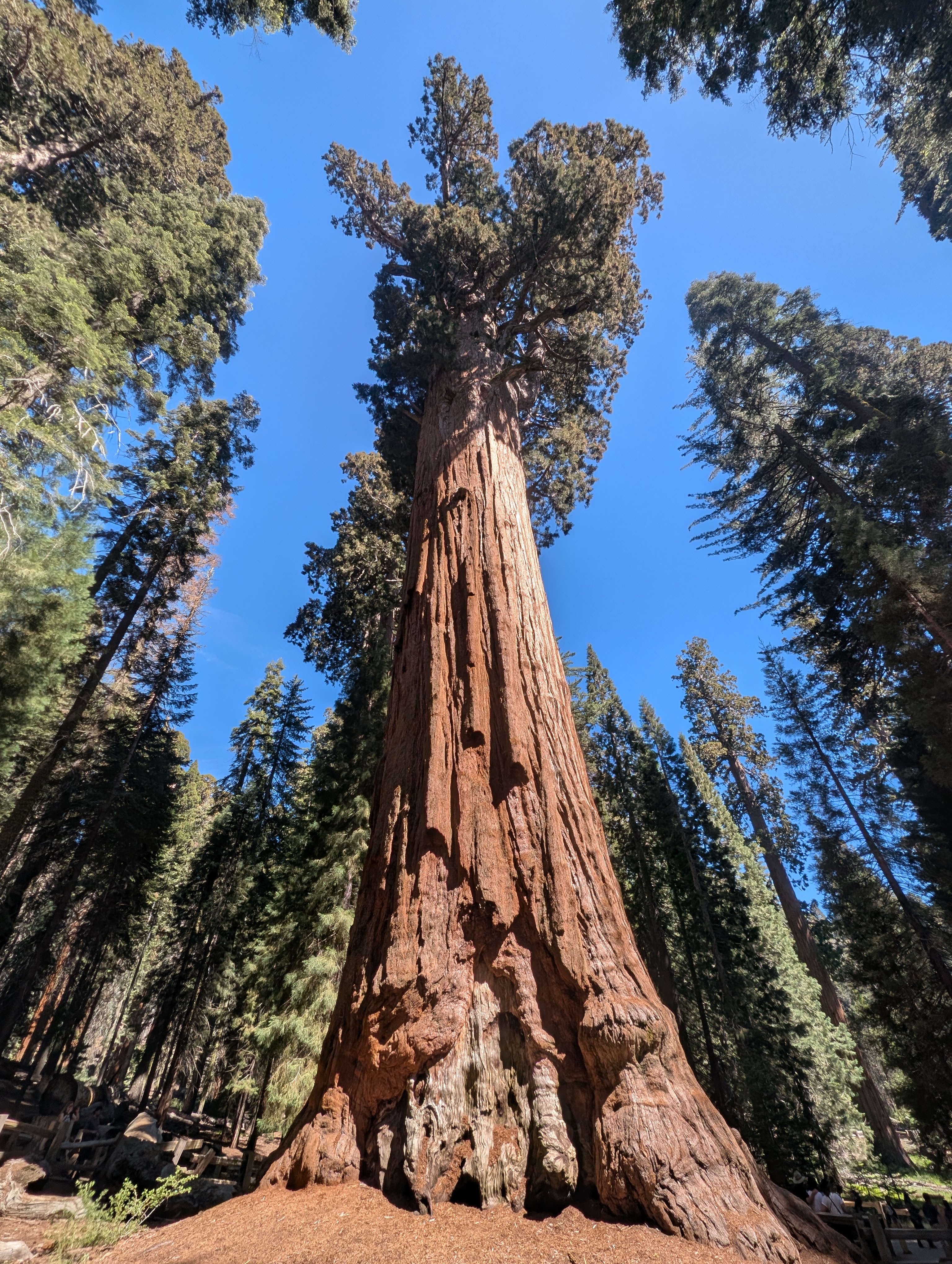
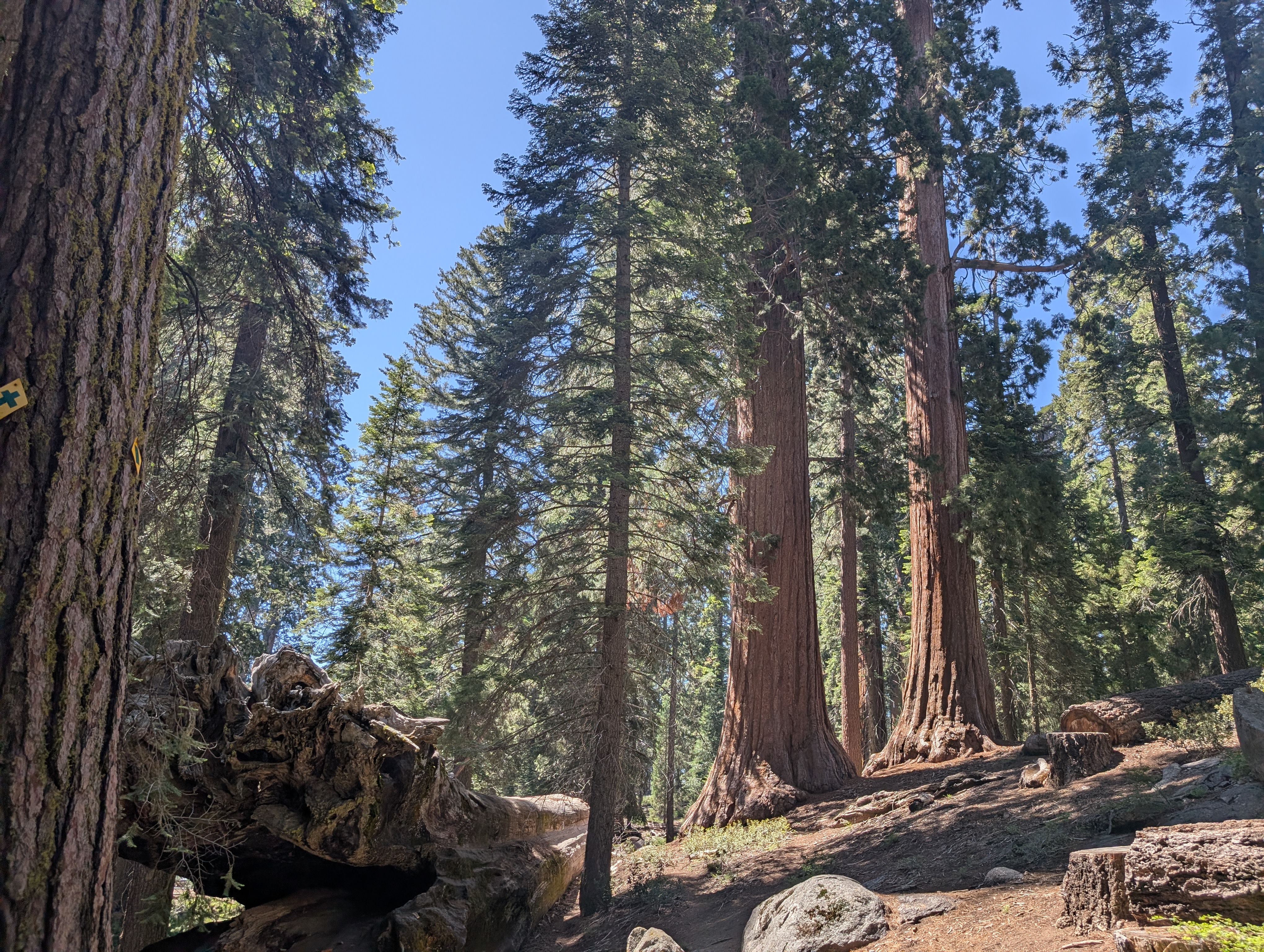
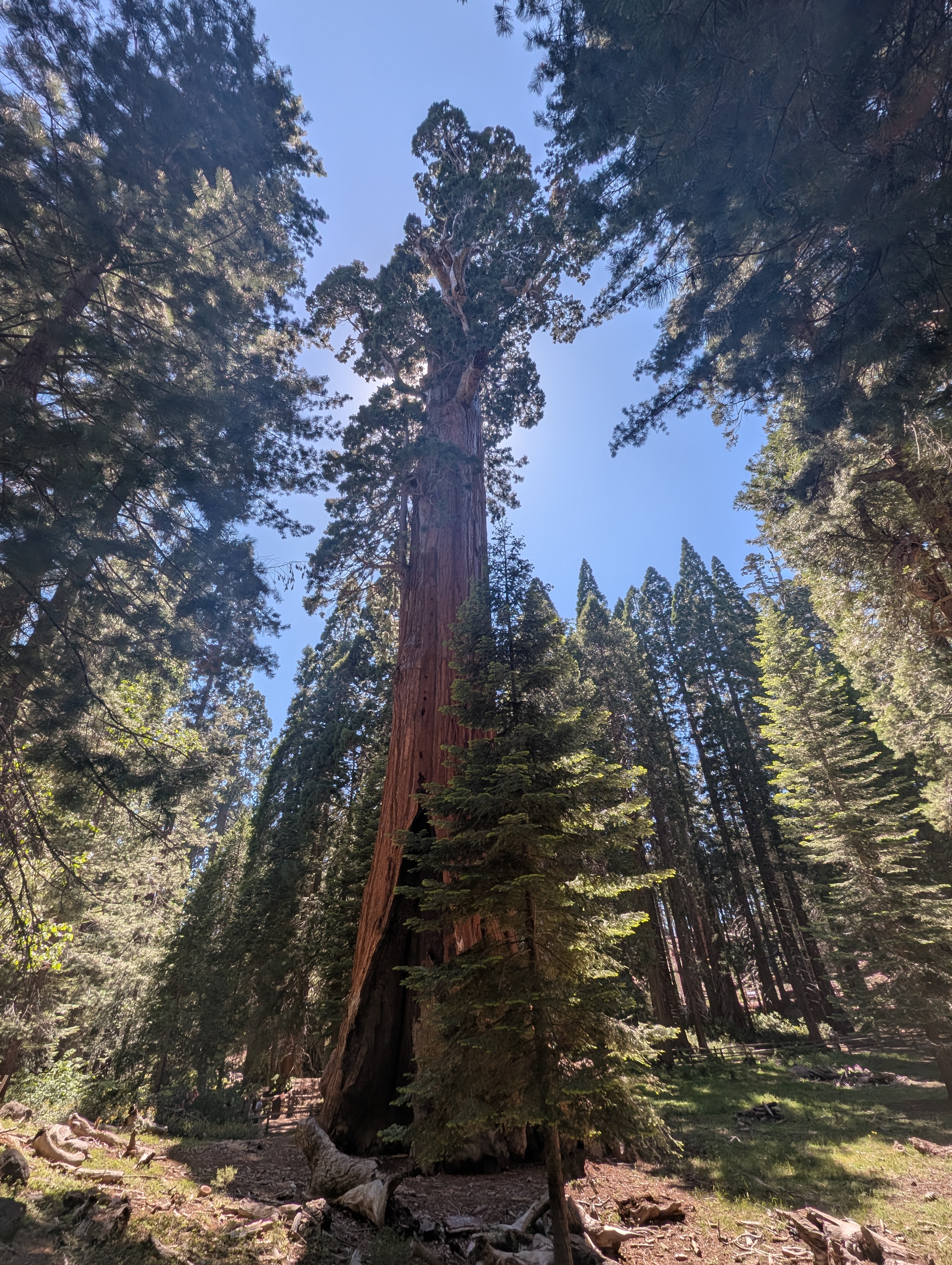
    On Tuesday, I stayed at my Airbnb because I really couldn’t deal with driving and hiking. On Wednesday, I was still tired and my legs felt heavier than usual, but I felt better than on Tuesday, so I drove to Sequoia. I was kind of underwhelmed by the sequoias. This was because of my ignorance and not the sequoias fault at all. They are actually very impressive trees. I was underwhelmed because I thought that there would be entire trails where I’d be surrounded by massive sequoias the size of General Sherman, the largest tree on earth by volume. In all the pictures I had seen of people at Sequoia, they were surrounded by these massive trees. I realized on Wednesday that those pictures were all taken in a small area where a few sequoias grow close together. The entire park is not like that. It just so happens that everyone posts pictures of themselves in the same location at the park.

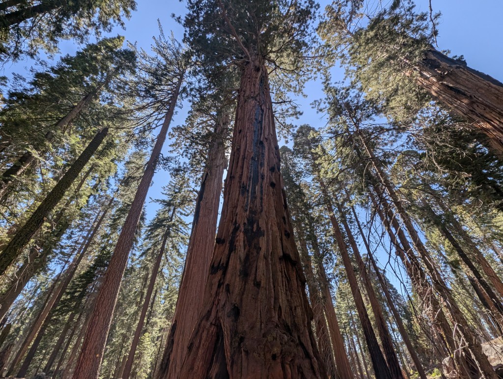
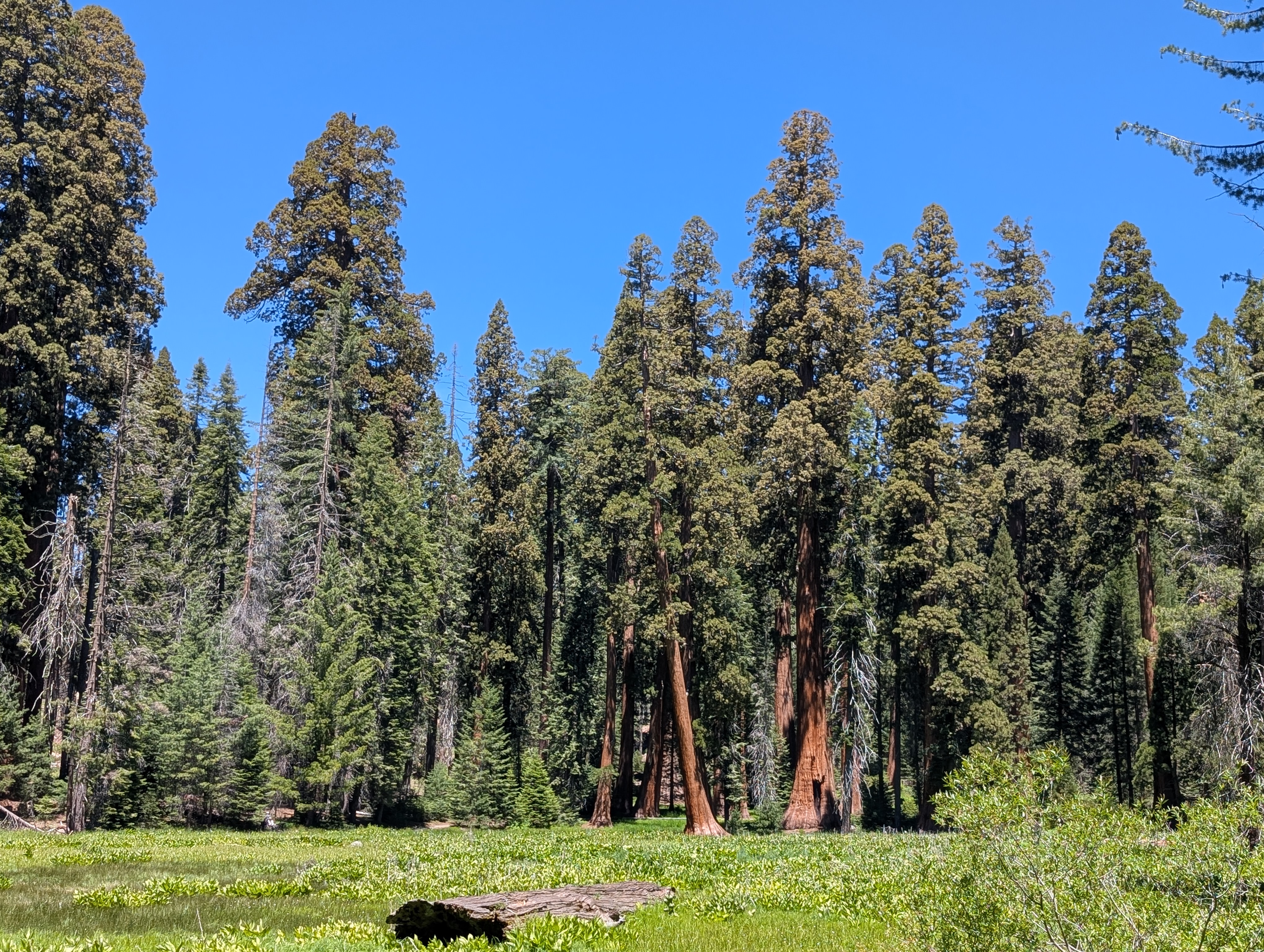
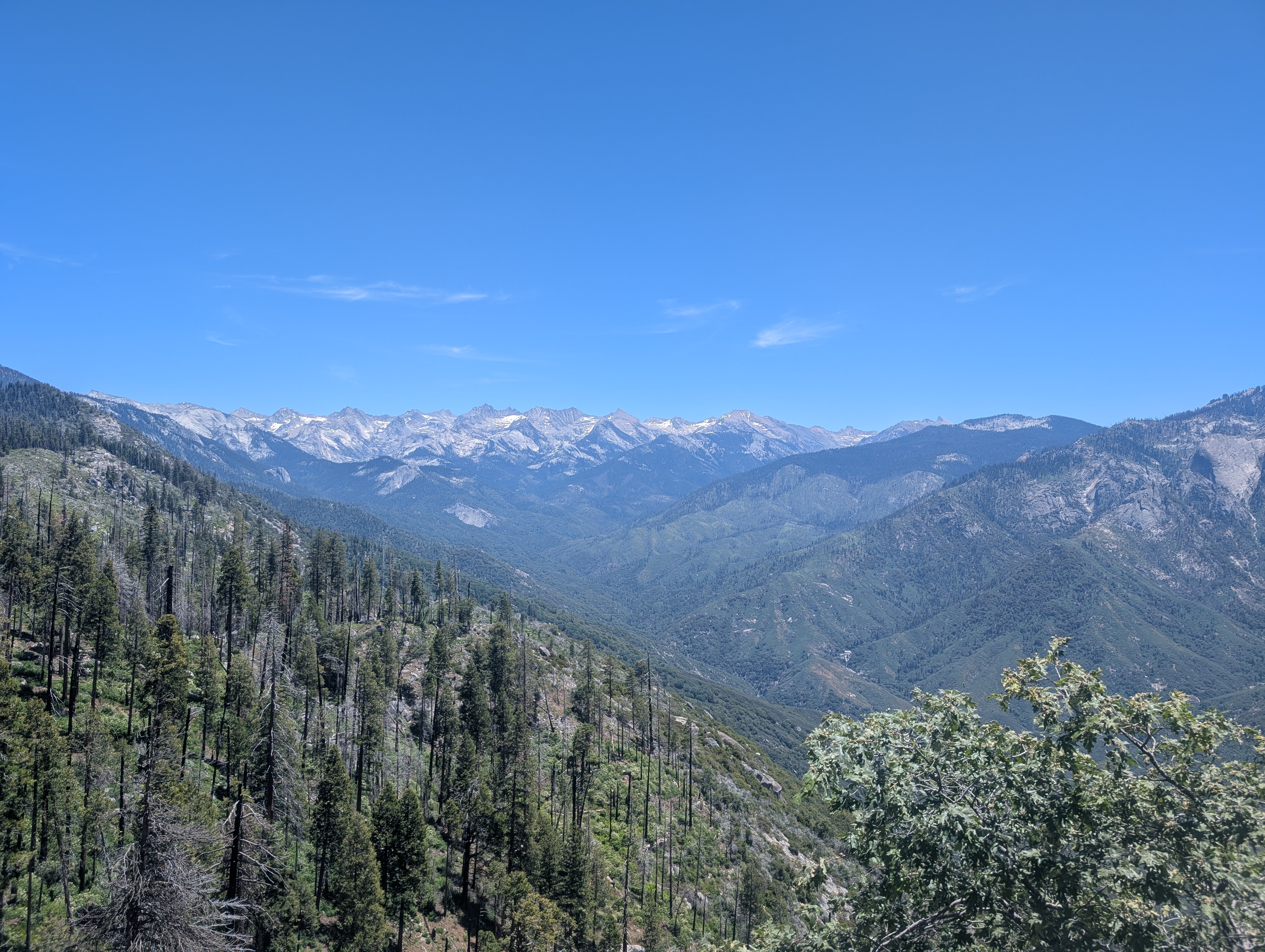
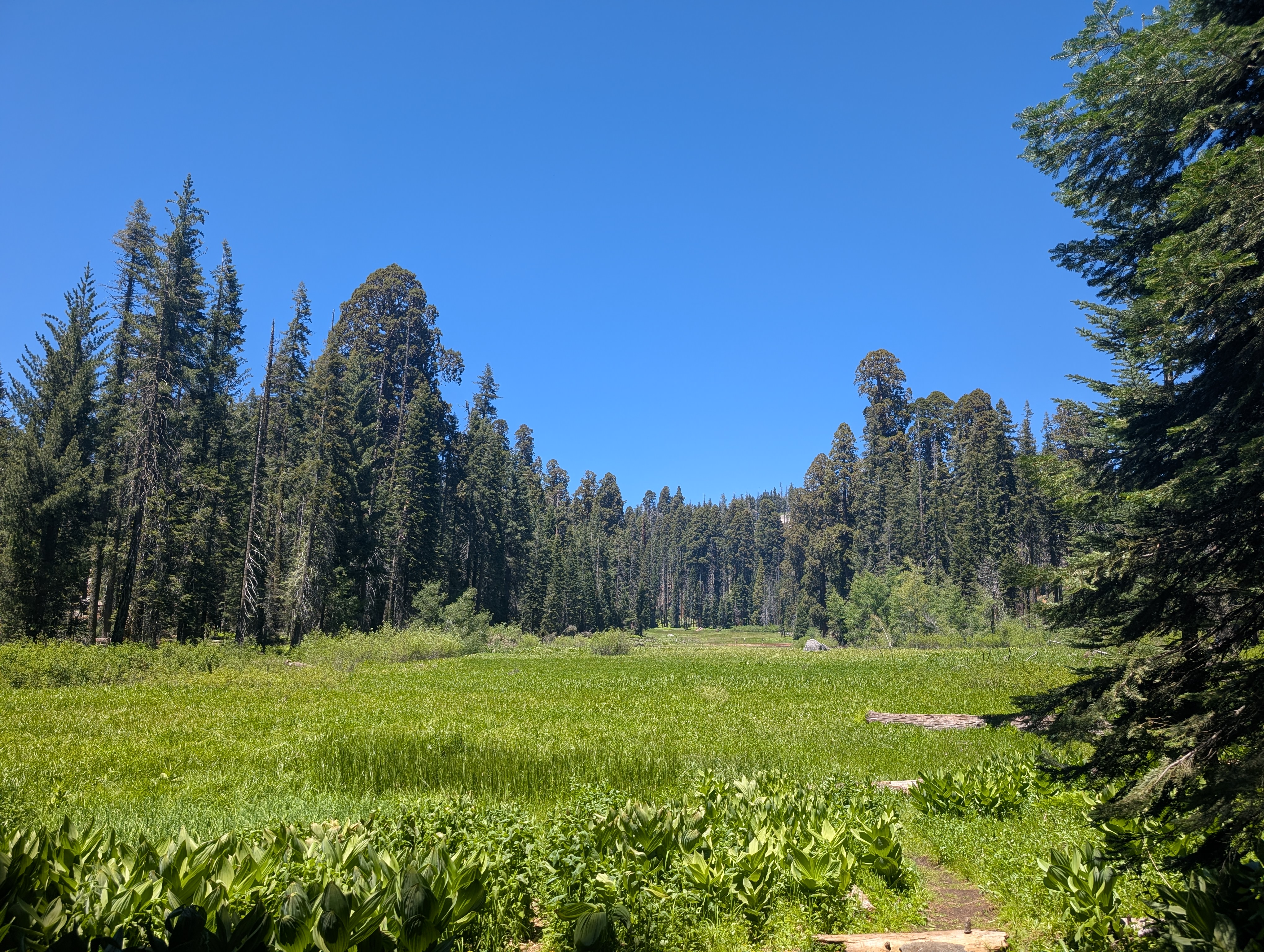
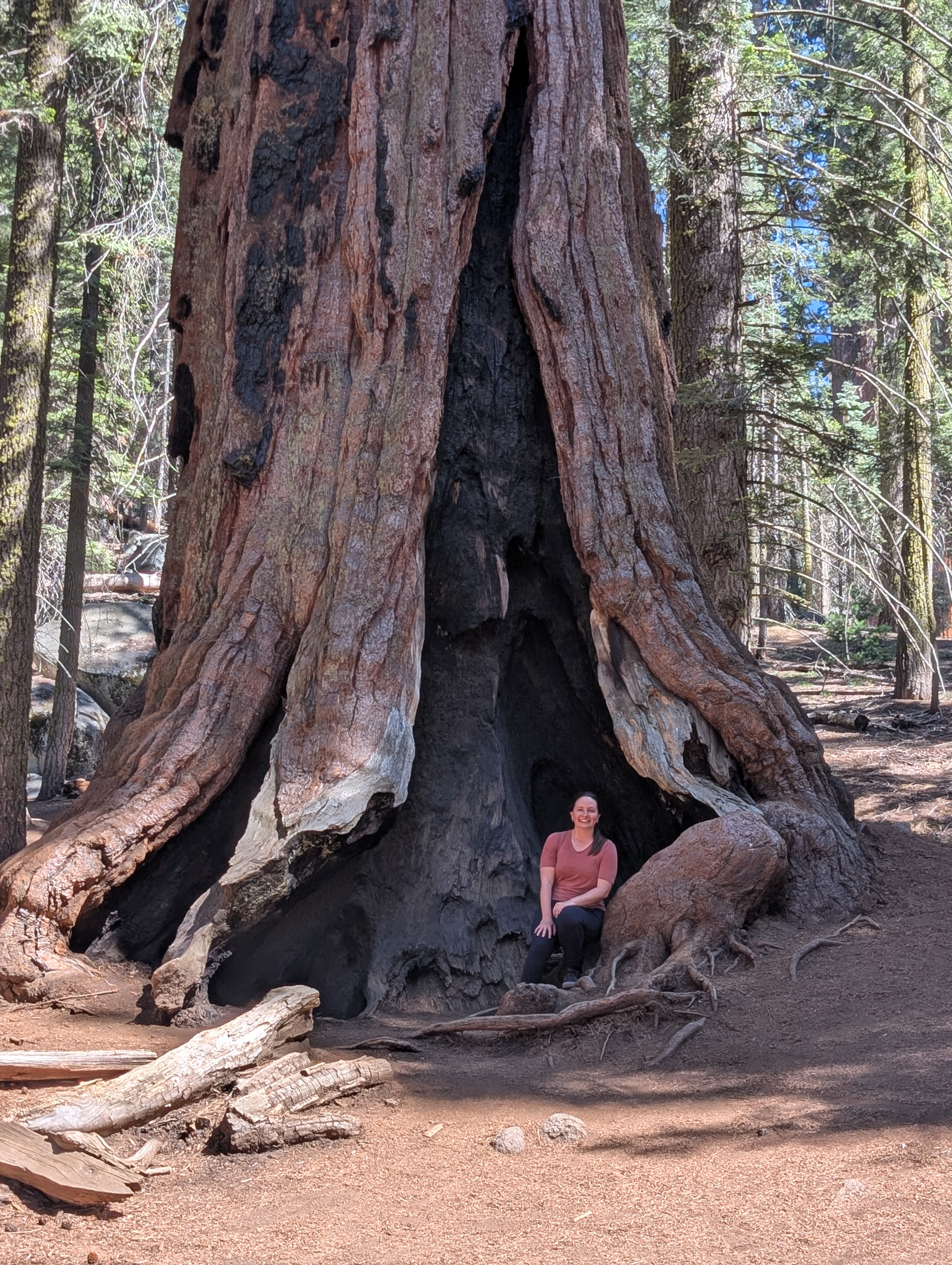
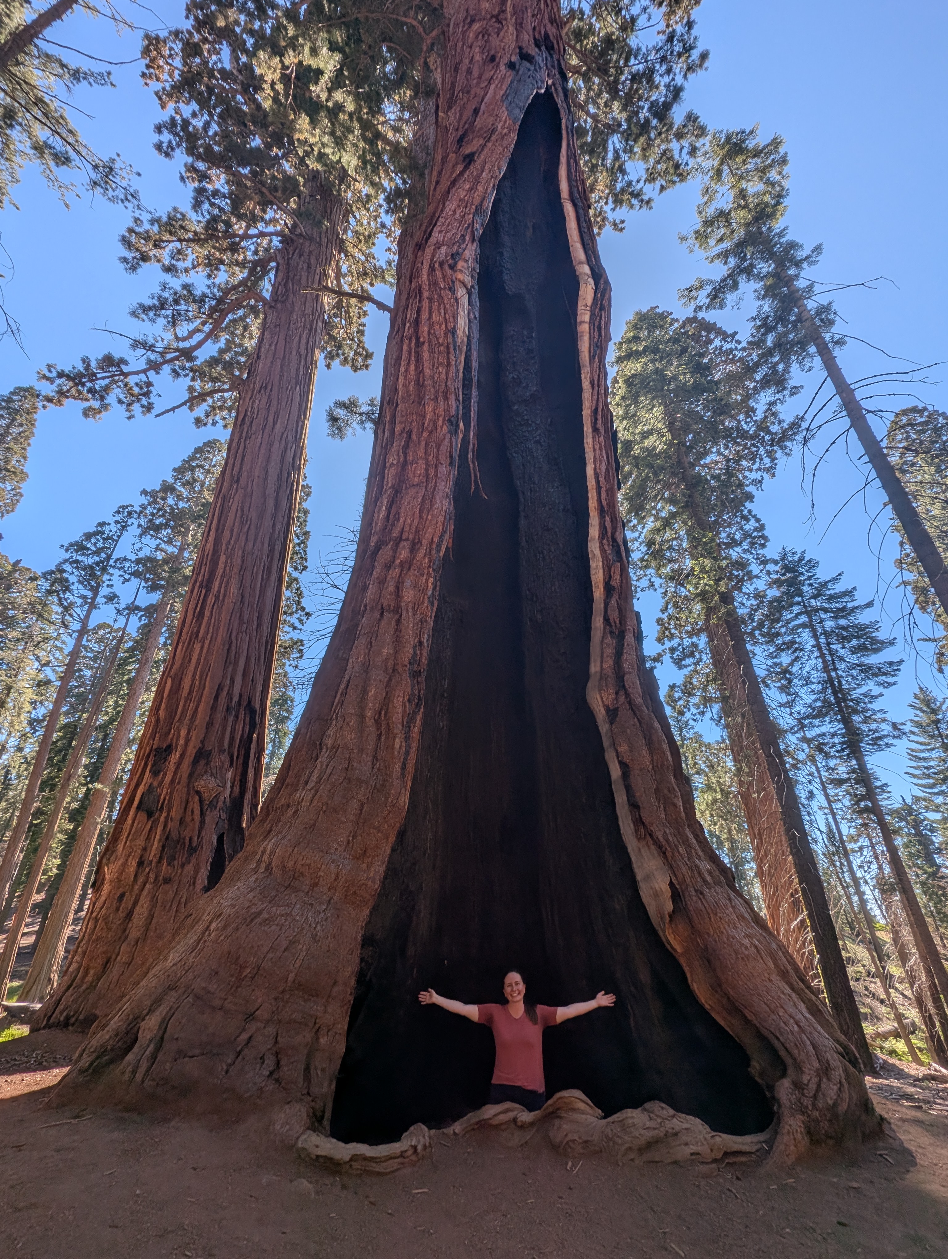
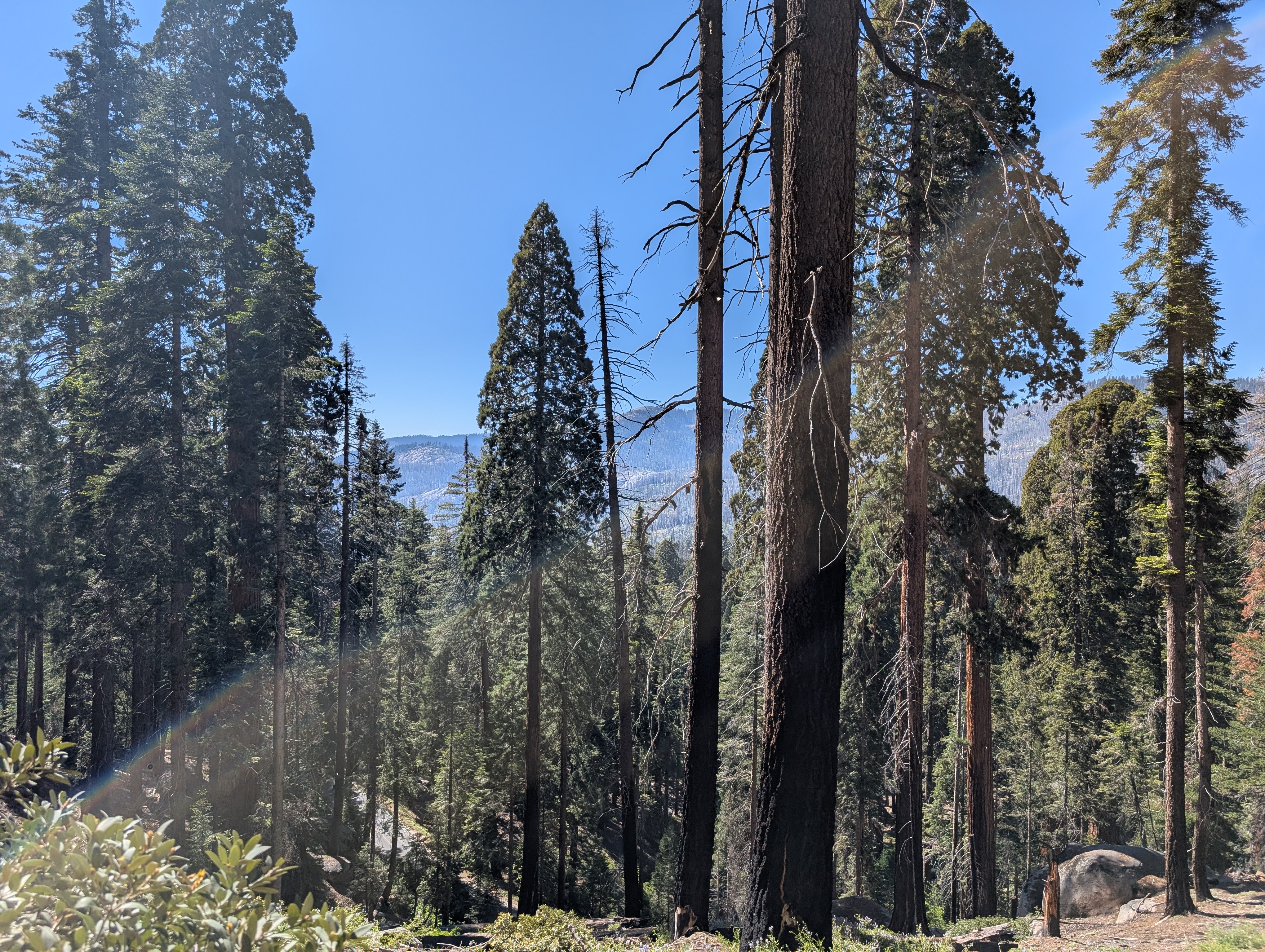
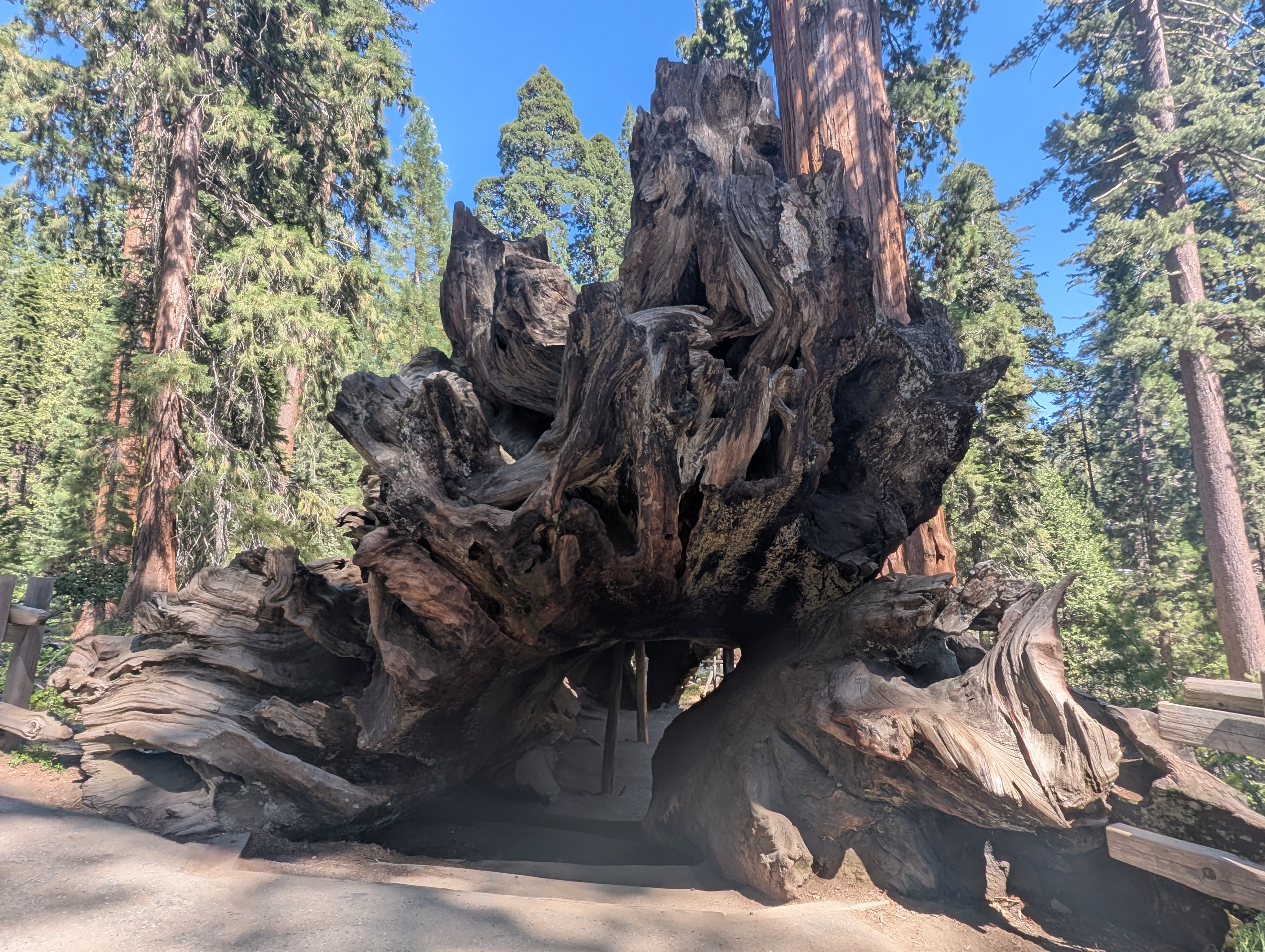
    In case you’re ignorant about sequoias like I was, I’m going to include pictures of different parts of the park in this post so you know what you’re getting into when you go. I started out on Wednesday by walking the Big Trees trail. The name of the trail didn’t help my ignorance. Don’t get me wrong, all the trees on the trail are big, but they are sequoias of different ages, heights, and widths, so they don’t all look as big as I expected them to be.This hike is around a meadow that is surrounded by sequoias. It was cool to learn that younger sequoias have more branches farther down their trunk to maximize the amount of sunlight they get. When they get older, they don’t need as many branches, so they only keep the ones at the top. I also learned that mature sequoias can survive fires and that sequoias actually depend on fires for reproduction.

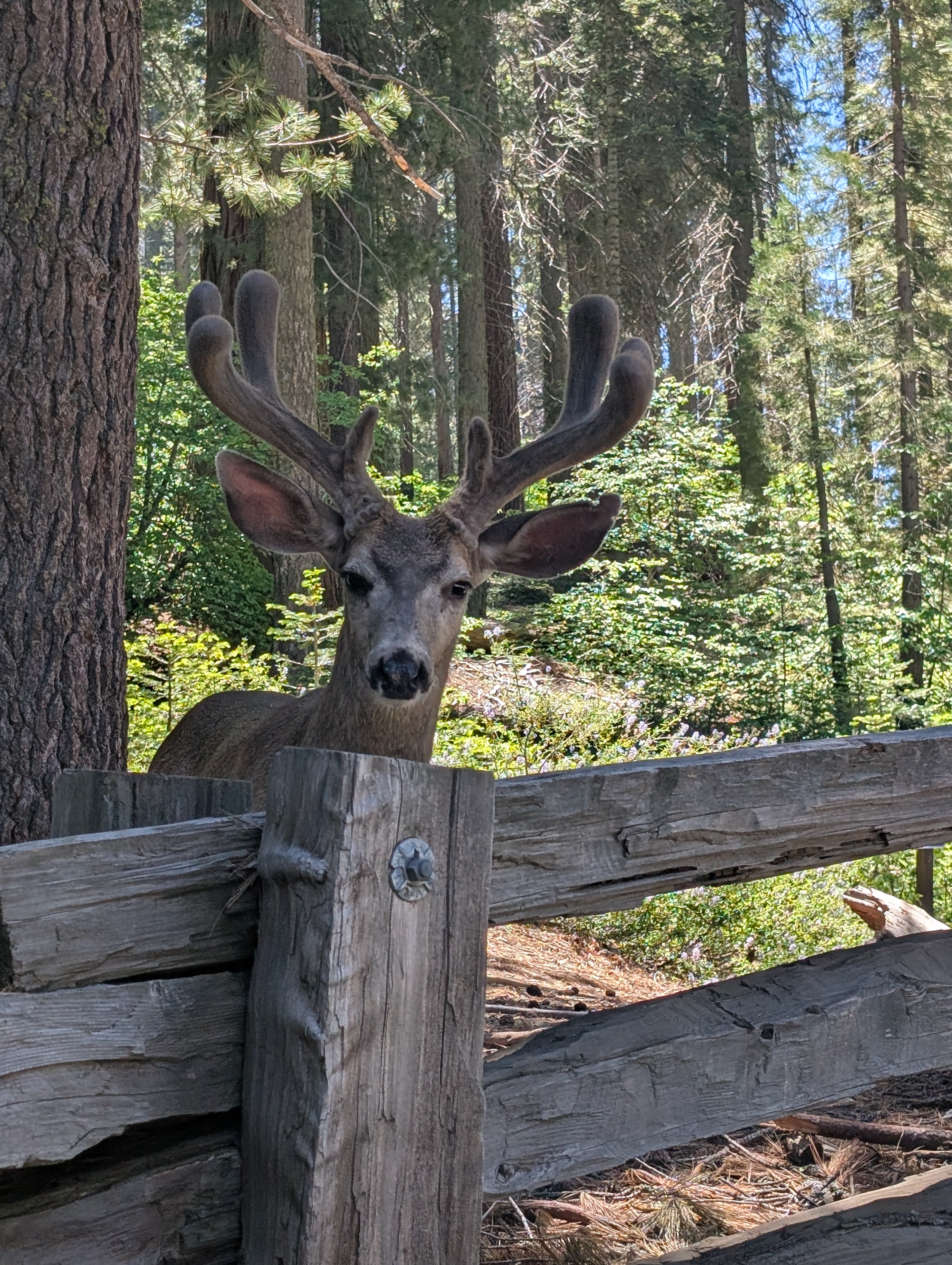
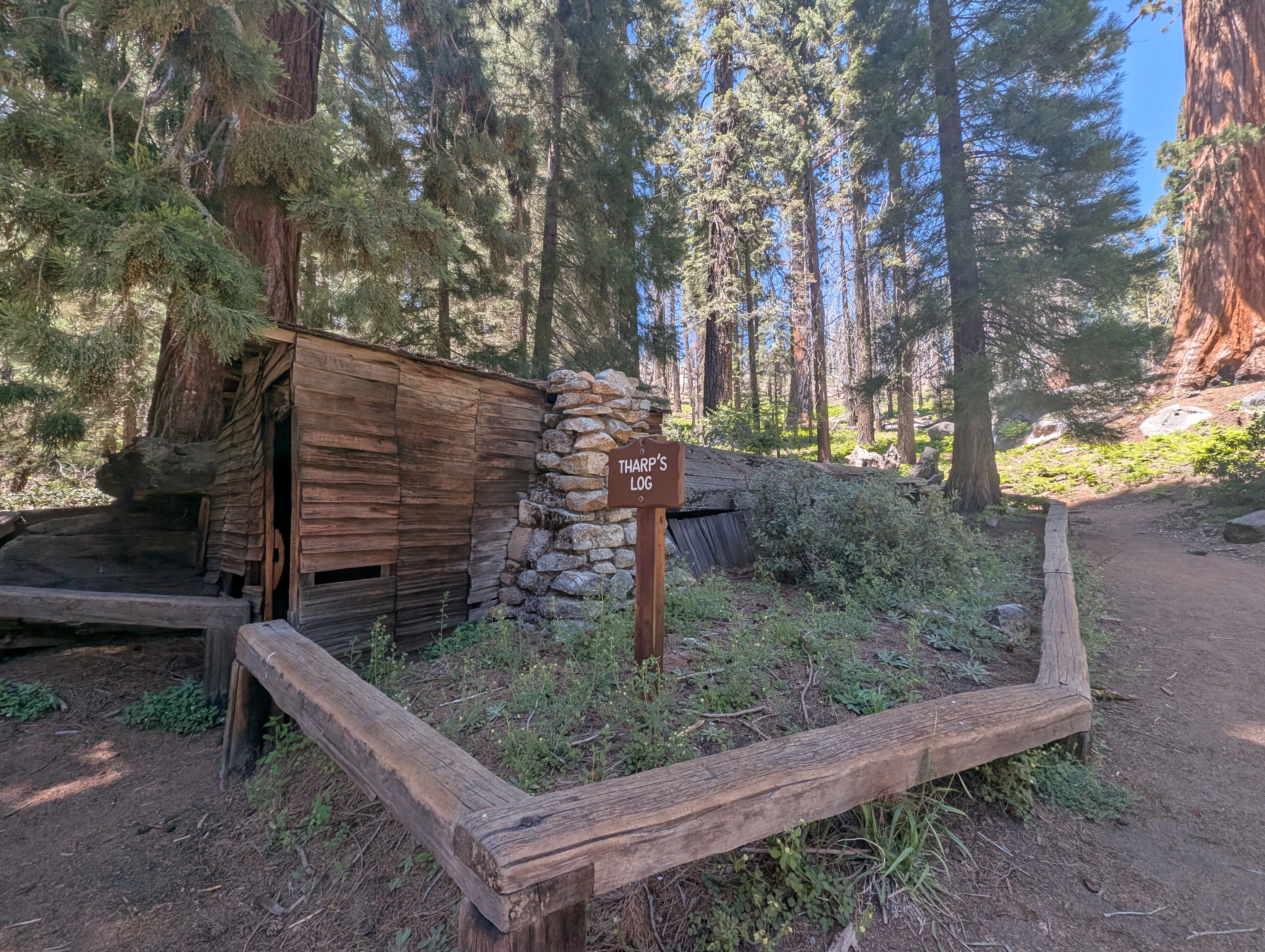
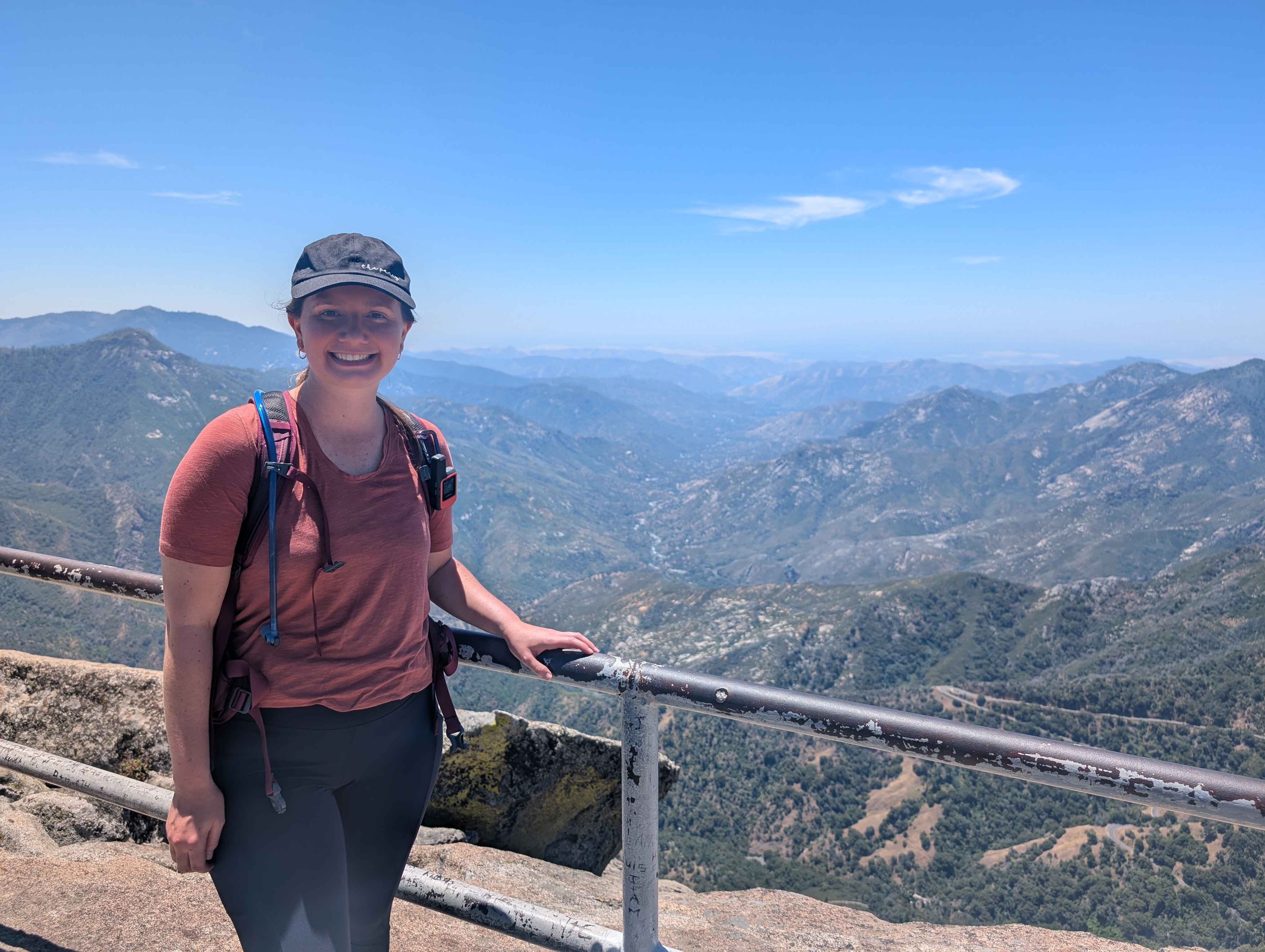
    After the Big Trees trail, I walked up the 400 steps carved into Moro Rock. The view from the top was stunning. Then I walked through Crescent Meadow and saw Tharp’s log. Tharp found a hollow fallen sequoia many years ago and turned it into his cabin. I had seen in AllTrails reviews that some people had seen bears on this trail. Bear spray isn’t allowed in these parks because there are only black bears, no grizzlies, and black bears usually leave you alone if you get big and yell at them. I was excited at the possibility of seeing a bear on this trail. I’ve come a long way since deciding not to hike in Yellowstone 5 weeks ago because I was terrified of bears. So I was walking downhill on the uneven dirt path, not looking at the ground because I was looking for bears. You might see where this is going at this point. I stepped wrong, twisted my ankle, and fell. But I was fine. I got up, dusted myself off, and kept going on my way without any pain. I didn’t see bears on the trail, but people who got back to the trailhead a little after I did said they did see some.

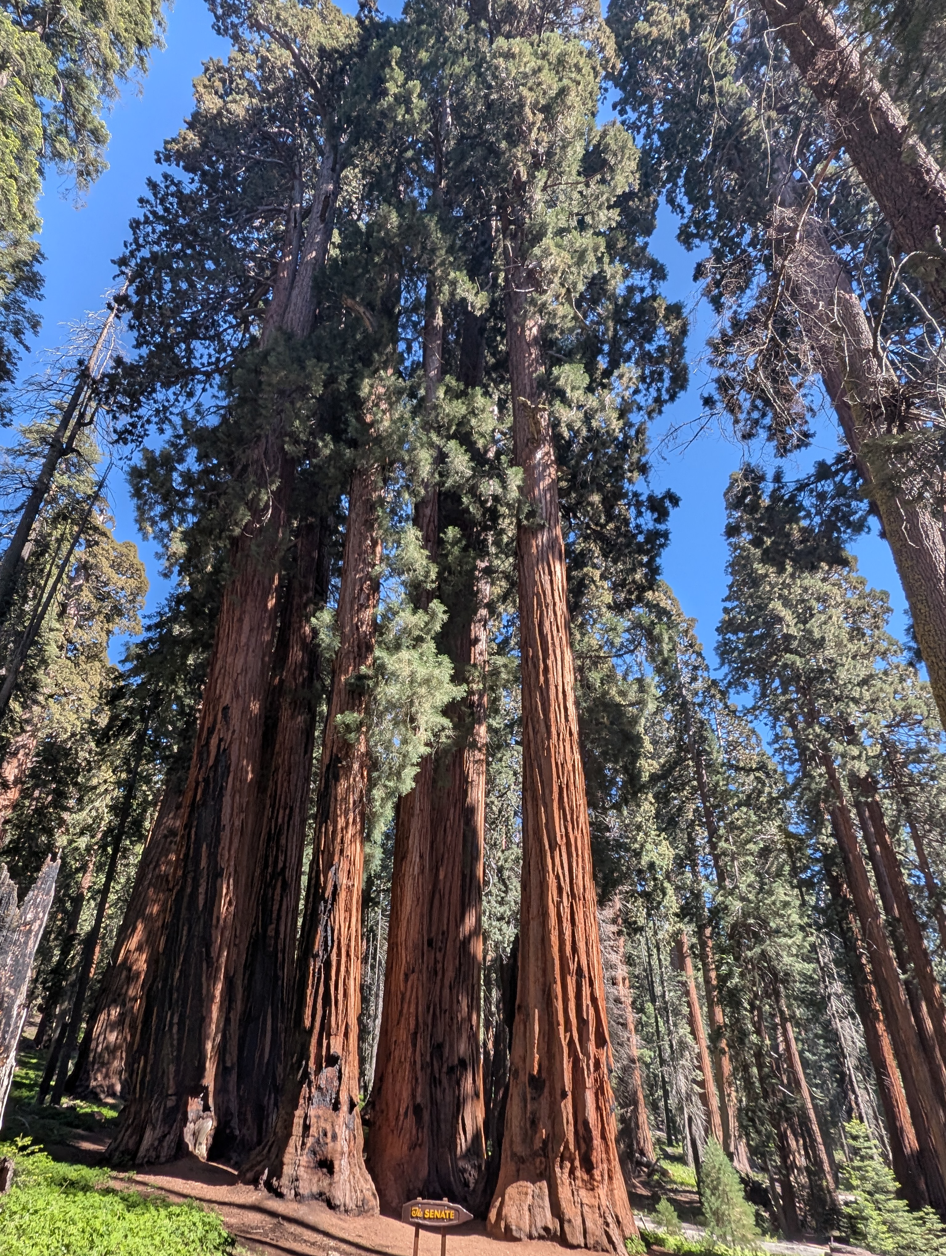
    After that, I hiked the Congress Trail. This takes you by General Sherman and then to the two sequoia clusters where I’m guessing everyone takes the pictures they post. It’s called the Congress trail because one of the clusters is called the Senate and the other is called the House. And there’s also a tree called the President. This was my favorite trail, partly because I had adjusted my expectations by that point and partly because there are a lot of massive sequoias there and they were pretty cool.

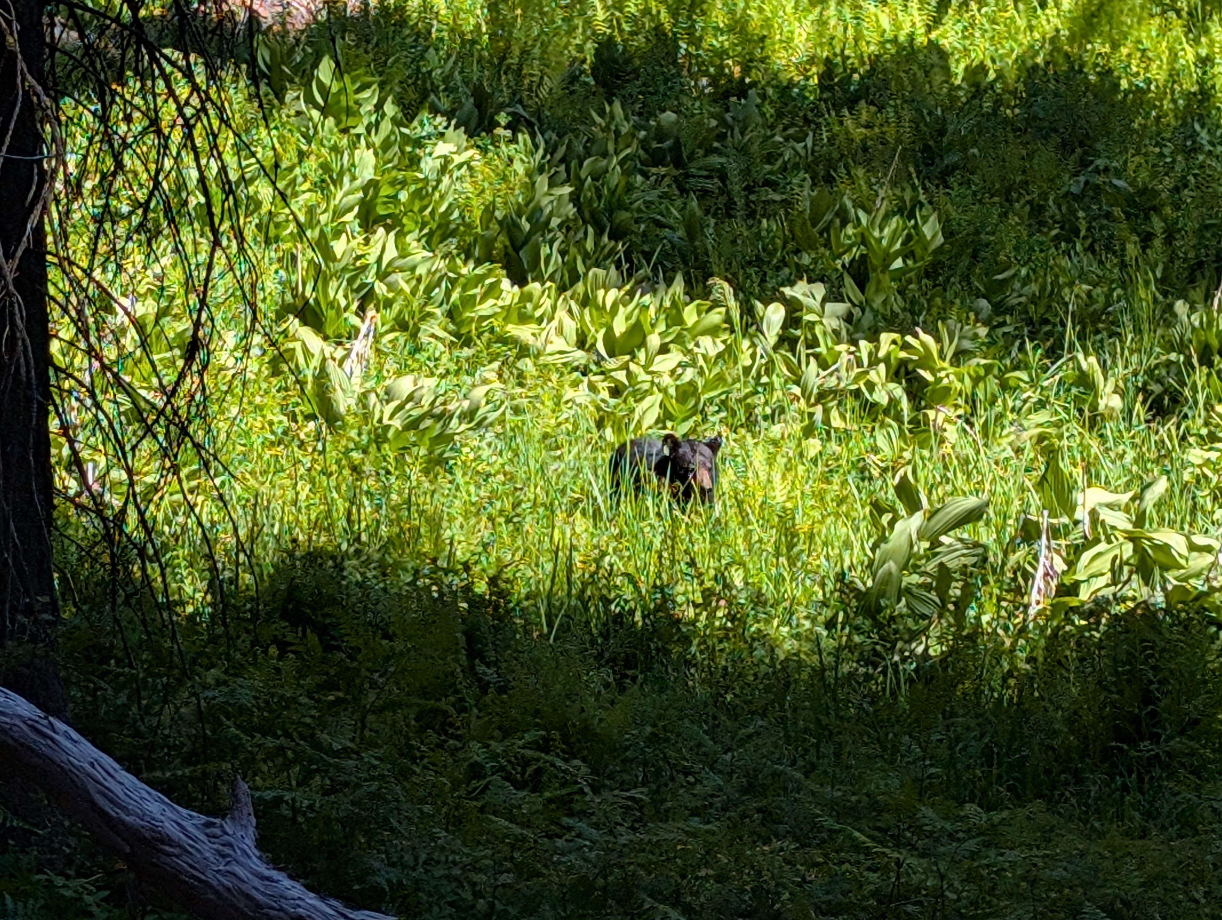
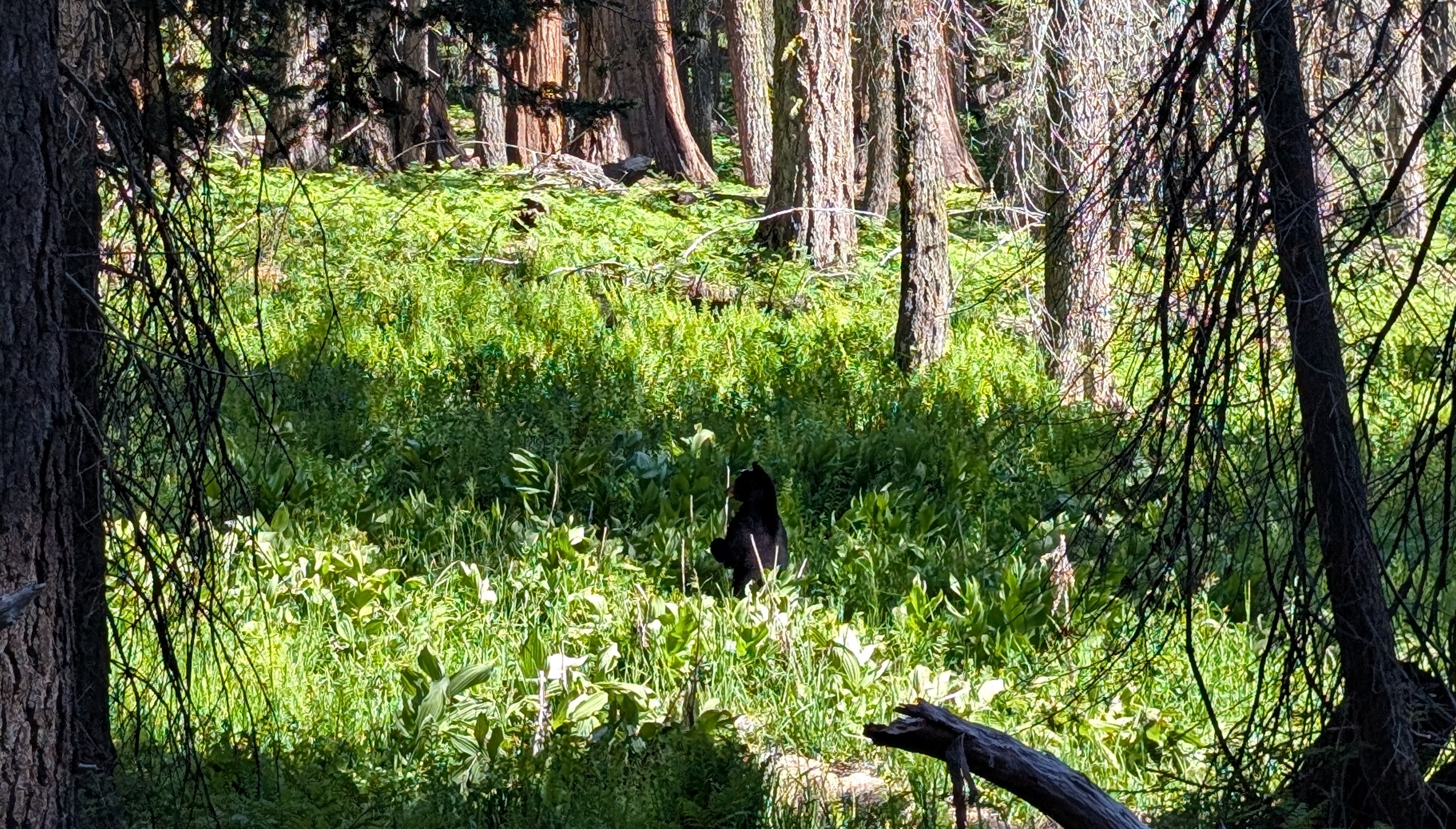
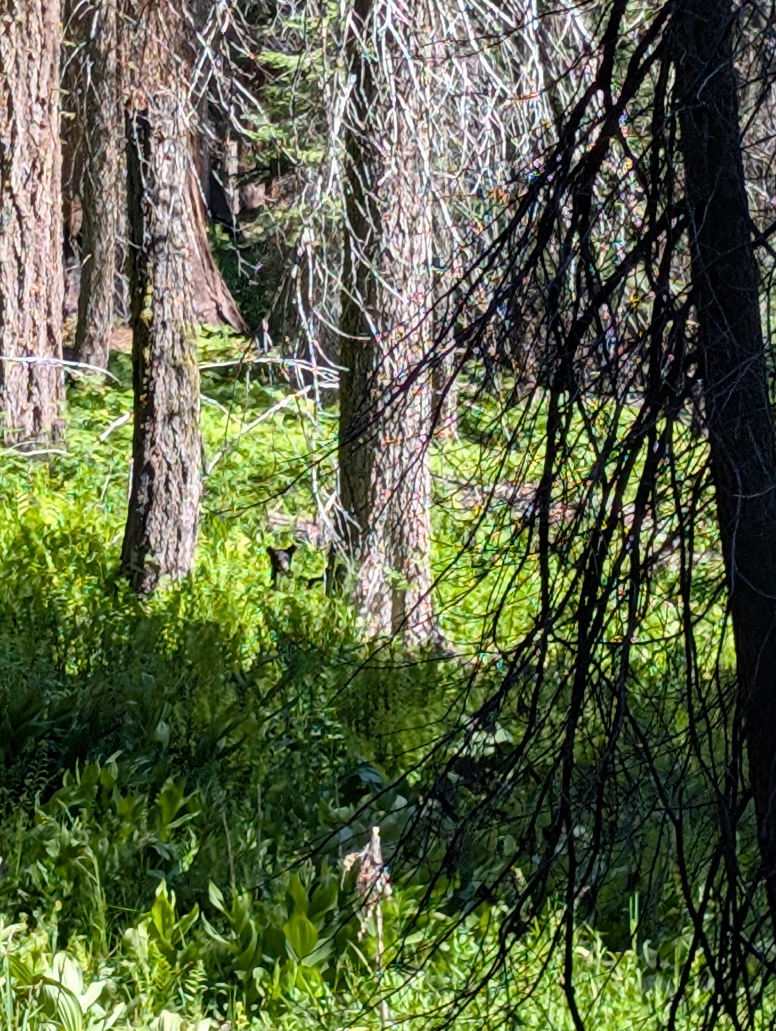
    As I was walking through the Senate, two guys came running back from farther along the trail and asked if I’d seen a bear. Someone had told them there was a bear about 100 m from the Senate. We looked for a few minutes, but then I continued along the trail. When I got closer to the House, there was a group of people who had found the bears. There was a mama bear and her cub. At one point, the mama bear started walking in our direction and we all started moving back, but then she turned around so we stayed and watched. I’ve now officially faced my fear of bears. Eventually, the two guys came back down the path and were able to see the bears too, in case you were wondering.

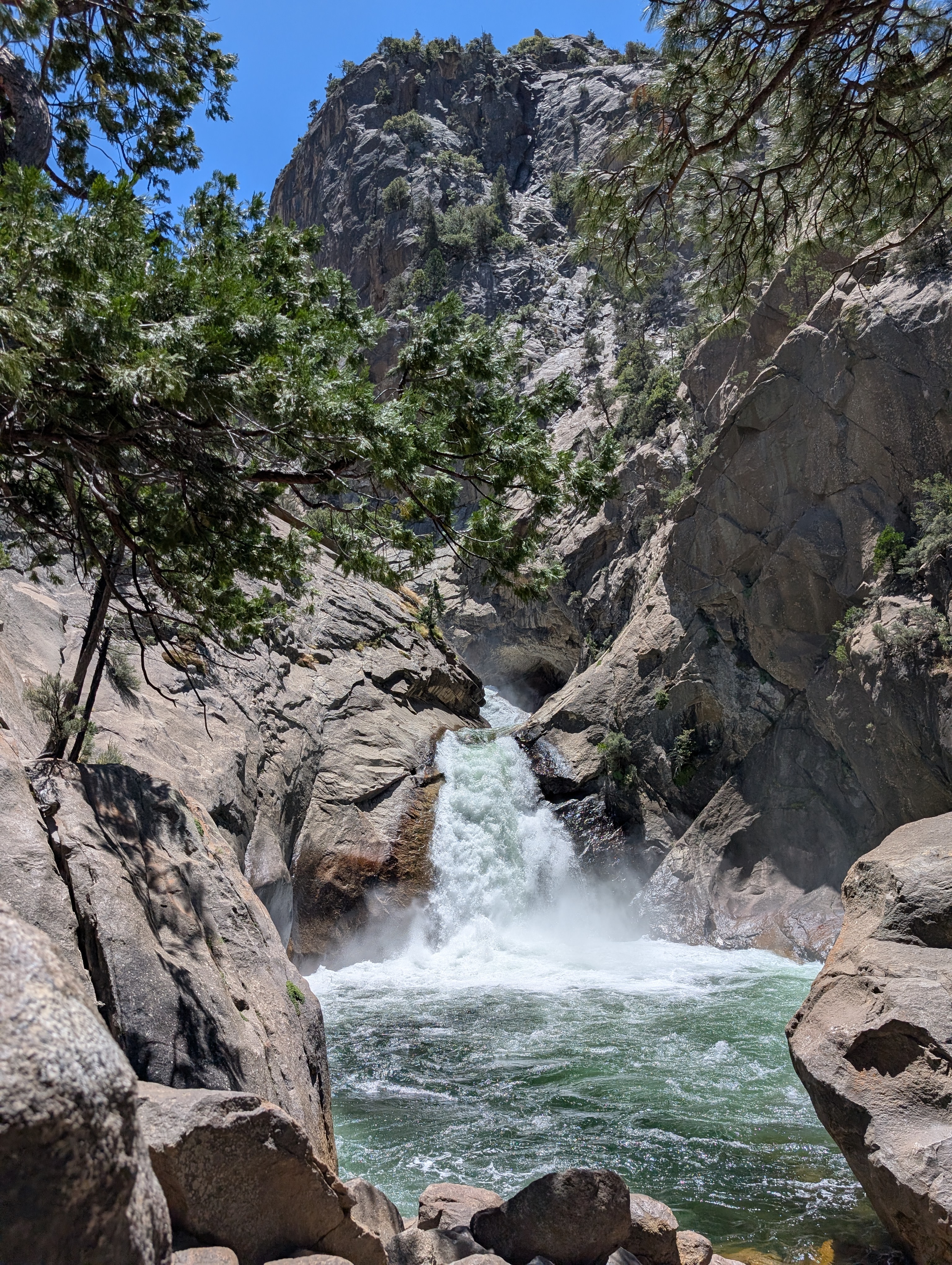
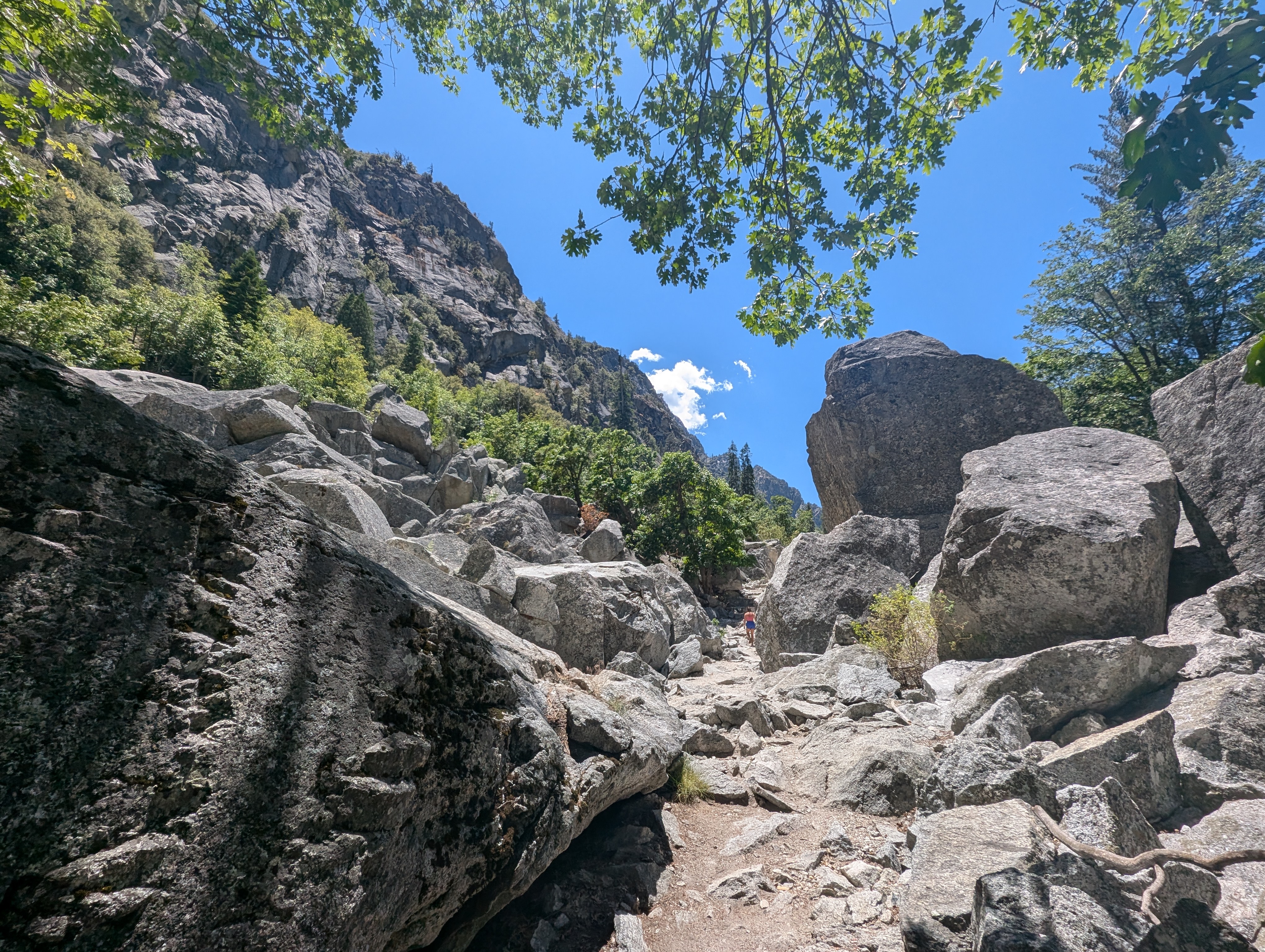
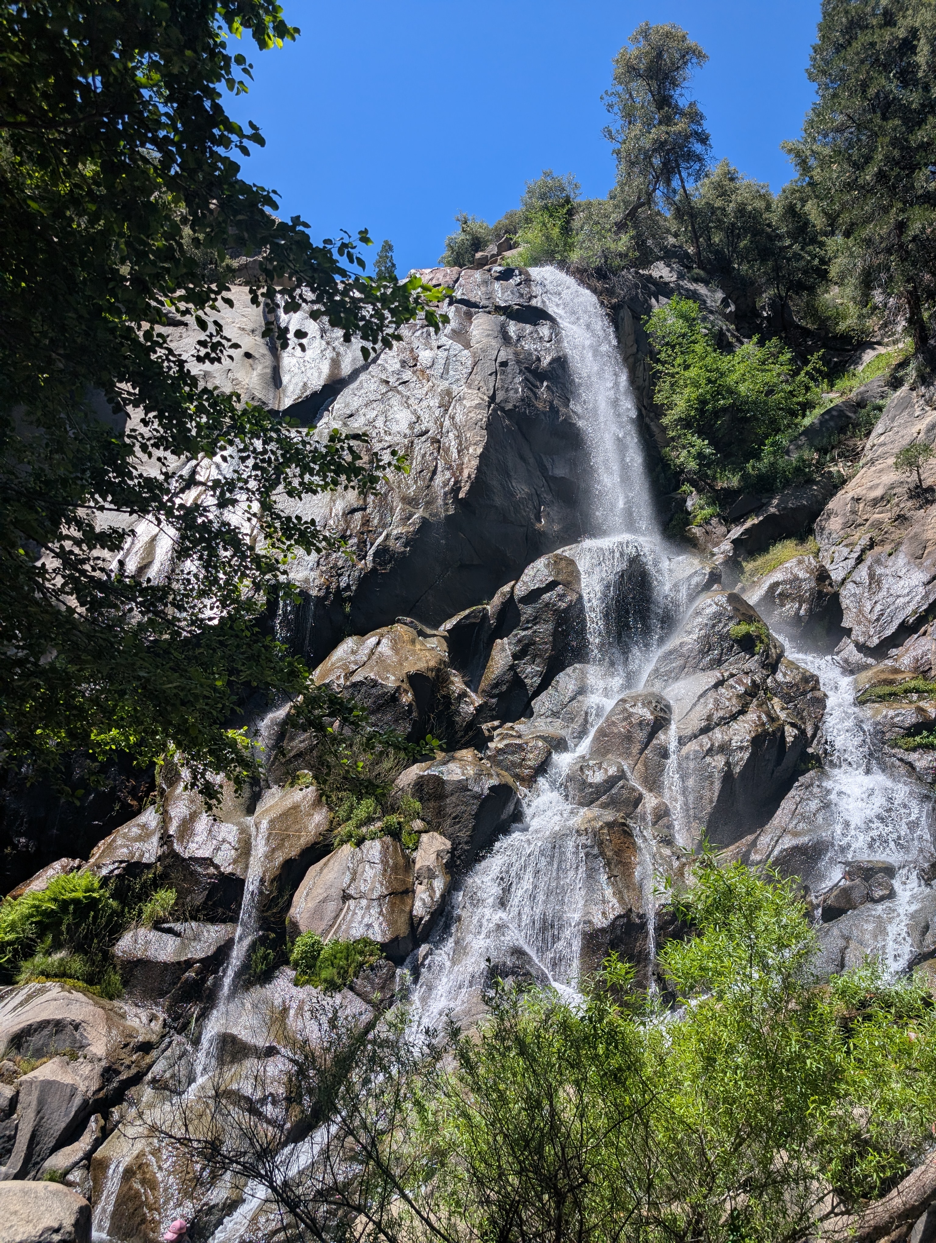
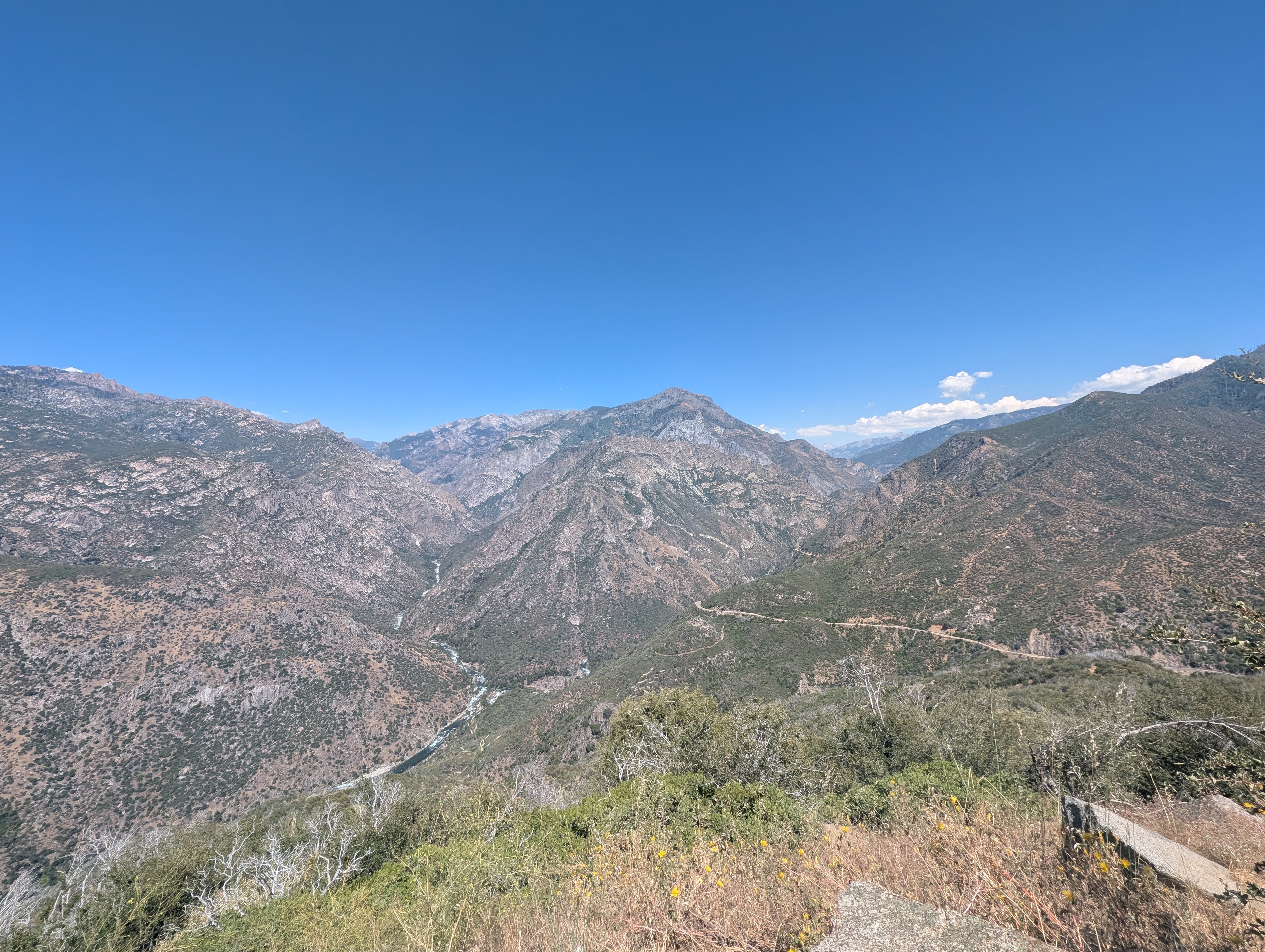
    On Thursday, I went to Kings Canyon. I thought it was more beautiful than Sequoia. Walking through forests with massive trees is amazing, but we’ve already established that I’m a mountain person. I like big nature. Huge nature. Mountain sized nature, not sequoia sized nature. Driving through the canyon at Kings Canyon was spectacular. The views from the top were amazing, but I didn’t even have to see the views to be awed. The canyon walls I was driving next to were enough. And there are also sequoias in Kings Canyon if you prefer that, including General Grant, the second largest tree in the world by volume.

    As I was walking through Grant Grove, where General Grant is, I was thinking about how cool it is that I get to see sequoias, despite my initial disappointment, and how crazy it is that my road trip is almost over. I’ve been on the road for 4.5 months and in just 3 weeks, I get to Nashville, the last official stop on my road trip. Though now I’m thinking of adding another leg to my road trip at the end of the summer. We’ll see what happens…

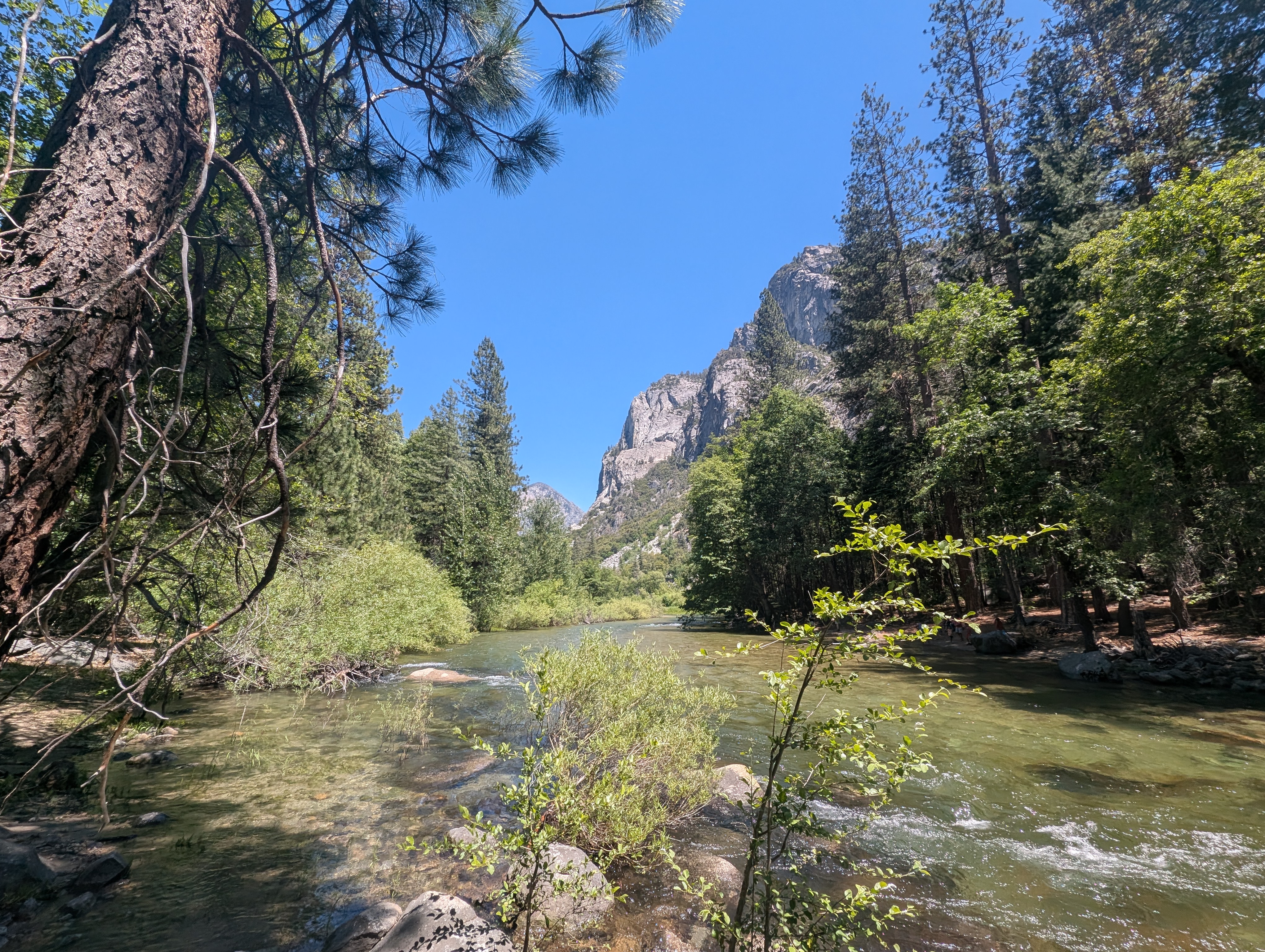
    Remember a few paragraphs ago, when I said I twisted my ankle and fell? You thought I was fine. I thought I was fine. But during the short hikes I did in Kings Canyon through Zumwalt Meadow and Grant Grove, my ankle and my knee on the same leg started feeling achy. Luckily, I hadn’t planned to do as much walking that day as the day before because by the end of the day, my knee was even achier. I can walk and my knee feels more sore than painful, but I still decided to make today another rest day. This wasn’t a difficult decision because I wasn’t looking forward to another 4 hours of driving into and back from the parks, though there were a few more hikes I would have liked to do.

    Today I’ve been sitting on the couch, reading and watching the new season of Sweet Magnolias on Netflix. The dialogue this season is full of quotes that are exactly what I need to hear right now. I won’t spoil it for any of you who are planning to watch it. The thing that resonated with me the most was the idea of “being in the soup”. One of the characters mentioned how we see caterpillars and we see butterflies, but we don’t see the soup inside the chrysalis that is the caterpillar becoming the butterfly. This resonated because I’ve been listening to Ella Langley’s song Butterfly Season on repeat during my road trip. The song exactly describes my life right now, to the point of saying “Don’t even know her, that girl from last October”. October was when I realized that my life had to change. I think I’m towards the end of my soup stage, soon to be in my butterfly season.

    Tomorrow I’m driving to Joshua Tree National Park. I’ll only have 2 hours in the park on Sunday, but I figured it’s worth at least driving through it. Hopefully I’ll be able to use cruise control on the highway a lot tomorrow so my knee gets more rest. It didn’t like pressing the gas and brake on my winding mountain drive back from Kings Canyon yesterday.

    P.S. I just watched another episode and one of the characters said that he’s in the soup with wings sticking out. I think that’s a more accurate description of where I’m at.